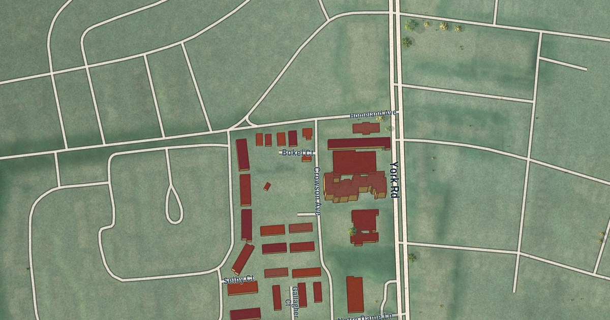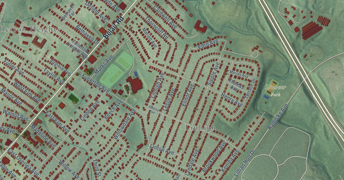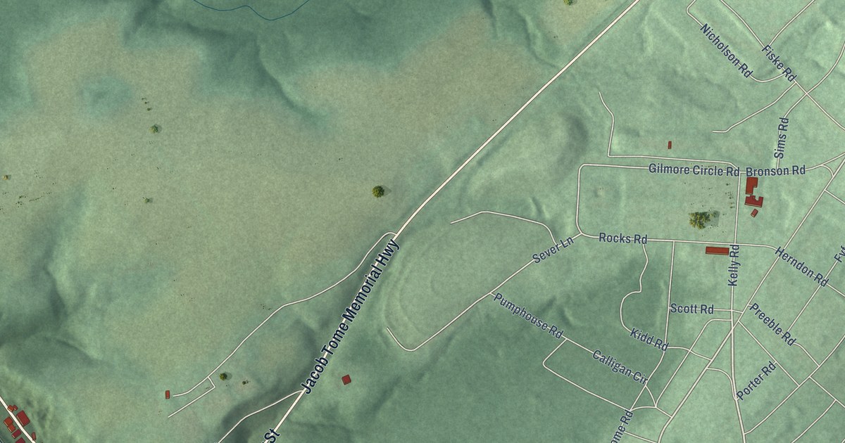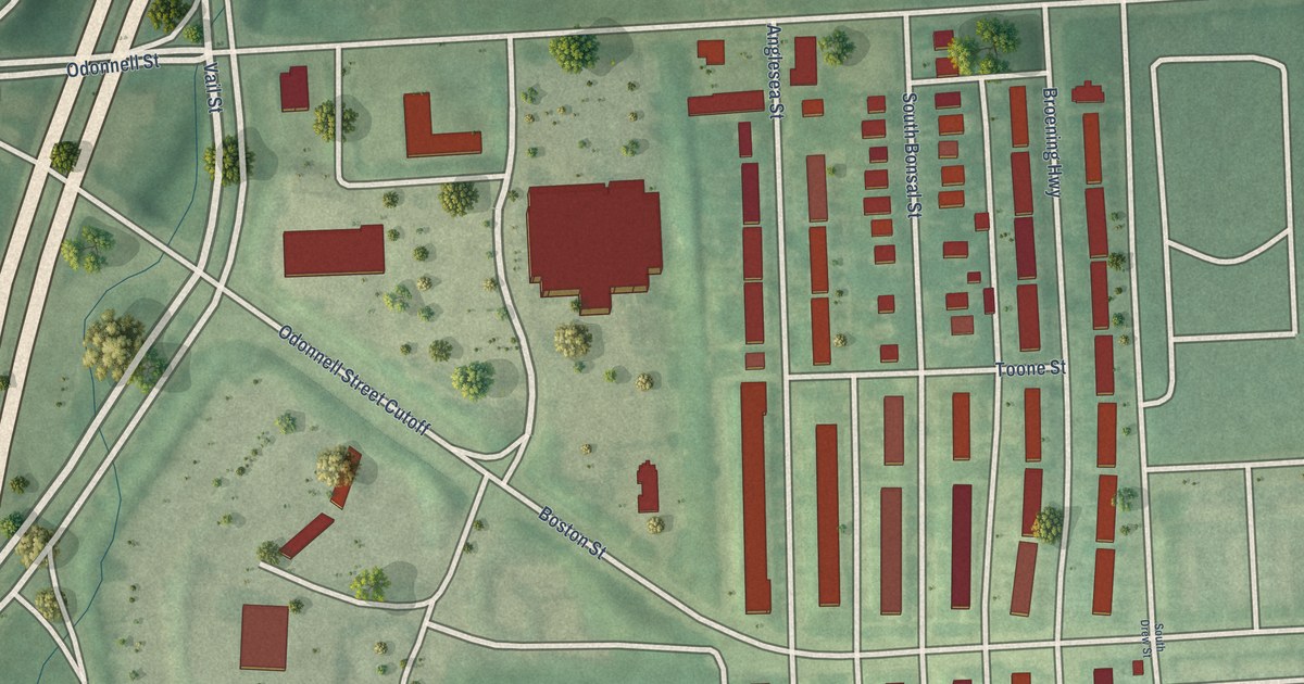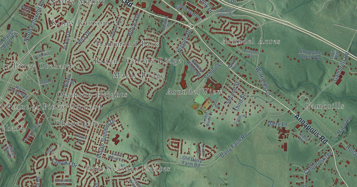
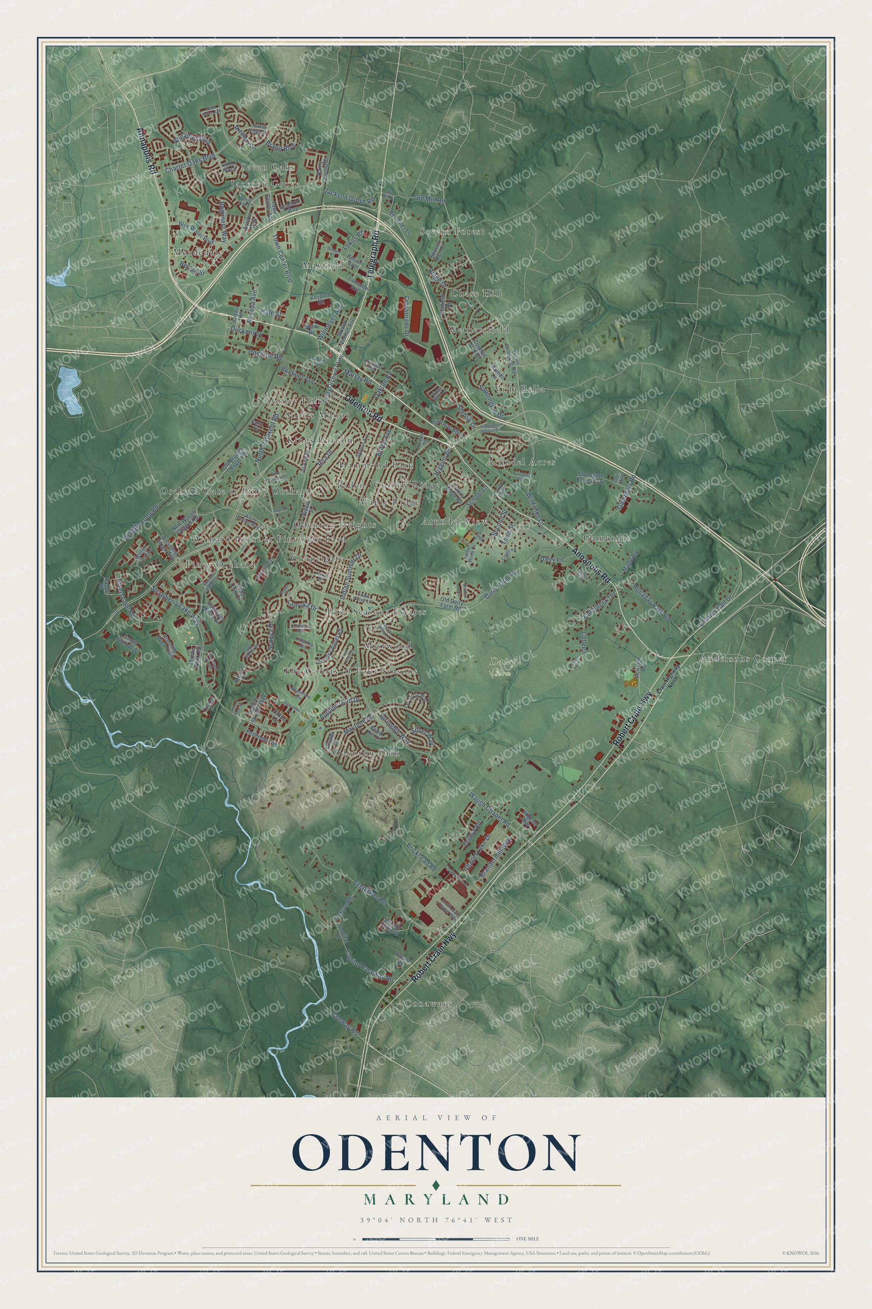
This beautifully detailed map of Odenton, Maryland was created in 2026 using aerial imagery combined with modern topographical, census, street and landmark data. It's a modern aerial view of Odenton in Anne Arundel County, Maryland, that combines modern data with a vintage aesthetic. The roads feature printed names, and if you look closely you can find your exact house accurately shown in its correct location.
Explore an aerial view of Odenton, Maryland
On this map you'll find Dairy Farm, Severn Forest, Conaways, Meadedale, Odenton Park, Orchard Gate at Piney Orchard, Jackson Grove, Maple Ridge, Wethersfield, Piney Orchard, Stoney Hill, Mistwood, and more. Each red shape is a building, so zoom in on the preview and look for yours.
Odenton is a community in Anne Arundel County. The Census Bureau counted 42,947 people here in 2020. The map prints the town name in its title panel, with the coordinates below it.
Take a closer look at the Odenton map
Names on this map
These names are printed on this map.
Places: Dairy Farm, Severn Forest, Conaways, Meadedale, Odenton Park, Orchard Gate at Piney Orchard, Jackson Grove, Maple Ridge, Wethersfield, Piney Orchard, Stoney Hill, Mistwood, Arundel View, Andersons Corner, Mayfield, Gambrills, Odenton Heights, The Courts of Four Seasons, Hammond Park, Kings Ransom, Chapelgate, Villa Bella, Chase Hill, Arundel Acres, Riden, Four Seasons Estates, Orchard Point at Piney Orchard, Seven Oaks, Colony Ridge and Scotts Manor.
Streets and roads: Annapolis Road, Telegraph Road, Odenton Road, Robert Crain Highway, Riverscape Road, Strawberry Lake Way, Town Center Boulevard, Crossroads Drive, Higgins Drive, Colleen, Waugh Chapel Road, Evergreen Road.
More street names, A to Z
Aaron Circle, Academy Road, Artillery Lane, Astilbe Way, Autumn Gold Drive, Autumn Valley Lane, Baldwin Road, Becknel Avenue, Berger Street, Betson Avenue, Betson Court, Blair Drive, Bluegrass Way, Blue Water Boulevard, Bragg Boulevard, Brandermill Boulevard, Brickhead Road, Brietwert Avenue, Brigadier Boulevard, Brodick Lane, Bruce Avenue, Burns Crossing Road, California Terrace, Cannon Ridge Drive, Capital Drive, Capitol Raceway Road, Carol Avenue, Cedar Elm Court, Chapel Centre Drive, Chapel Lake Drive, Charles Hall Drive, Charter Oaks Boulevard, Claffy Avenue, Colony Ridge Road, Conway Road, Council Oak Drive, Crain Highway North, Crigger Road, Dairy Farm Road, Dairy Lane, Dopeco Court, Duckens Street, Emerald Way, Fairfield Drive, Fall Circle Way, First Street, Forest Avenue, Four Orchards Lane, Gambrills Road, Gateway Boulevard, Hale Street, Hidden Hill Circle, Holiday Street, Holladay Park Road, Holson Road, Indian Summer Drive, Jackson Grove Road, Jackson Road, Jo Ann Drive, Jostaberry Way, Keuka Court, Keyport Road, Killarney Terrace, Lamoka Drive, Lamonte Avenue, Lions Gate Lane, Lokus Road, Maple Road, Maytime Drive, McKnew Road, Meandering Way, Middle Neck Road, Mount Vernon Avenue, Murray Road, Nevada Avenue, New Dawn Lane, New Waugh Chapel Road, North Patuxent Road, Oakton Road, Old Dairy Farm Road, Old Mill Court, Old Mill Road, Old Waugh Chapel Road, Orchid Road, Pediment Avenue, Pine Cove Avenue, Piney Orchard Parkway, Piscataway Run Drive, Rainy Spring Court, Range Road, Redmiles Lane, Regiment Way, Reliance Drive, Riden Street, Ringe Drive, Rita Drive, Roaming Ridge Way, Romeo Lane, Royal Oak Lane, Running Wolf Trail, Saltoun Avenue, Samantha Lane, Sandy Walk Way, Sappington Drive, Sappington Station Road, Scaffold Way, School Lane, Second Street, Seneca Drive, Settlers View Drive, Severn Run Court, Shallow Stream Way, Silver Way, Smooth Alder Street, Snow Hill Lane, Snow Valley Lane, South Main Chapel Way, Springhill Way, Star Stella Drive, Stehlik Drive, Stonegate Forest Way, Stream Valley Drive, Summers Ridge Drive, Sunny Chapel Road, Taxus Drive, Thicket Court, Third Street, Timber Wood Court, Tobin Way, Town Center Avenue, Vivaldi Lane, Warm Spring Way, Wickell Road, Wigeon Way, Wildlife Loop Road, Willow Leaf Lane, Winfields Lane, Winmeyer Avenue.
See it on a wall
The Odenton map as a framed print. Swipe for more.


Created by KNOWOL in 2026. The buildings are small red shapes, the roads carry their printed names, and shaded relief shows the shape of the land. The title panel reads "AERIAL VIEW OF ODENTON, MARYLAND" with 39°04' NORTH 76°41' WEST.
Hang it in the hallway, the office or the cabin, or give it to someone who left Odenton and still calls it home. Open the preview and look for a street you know. See sizes and frames for the Odenton map.