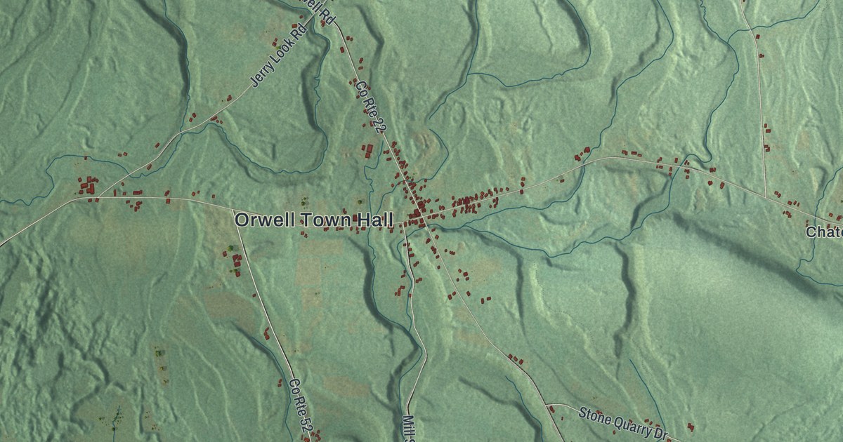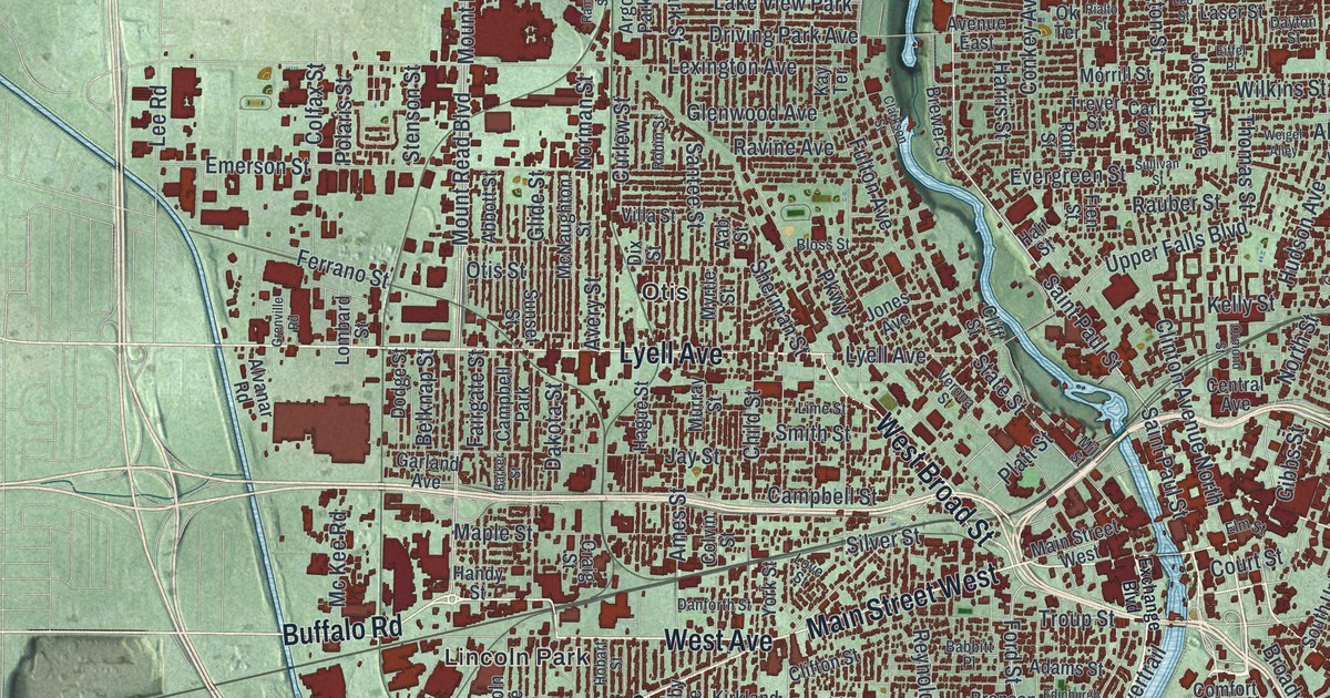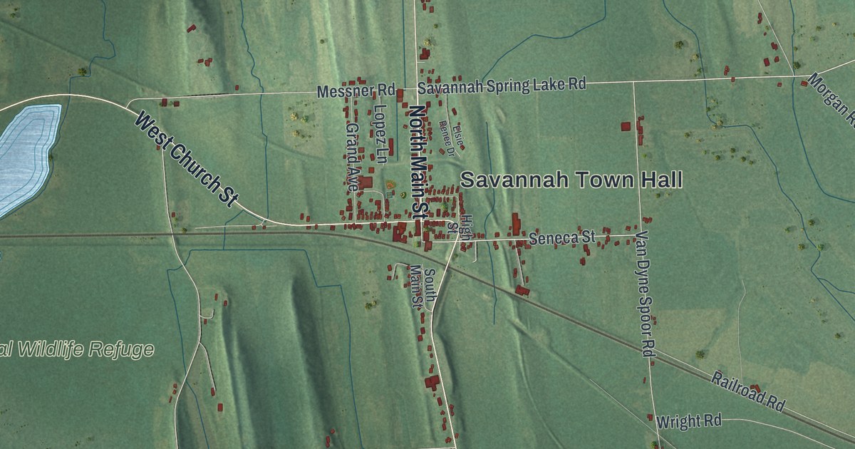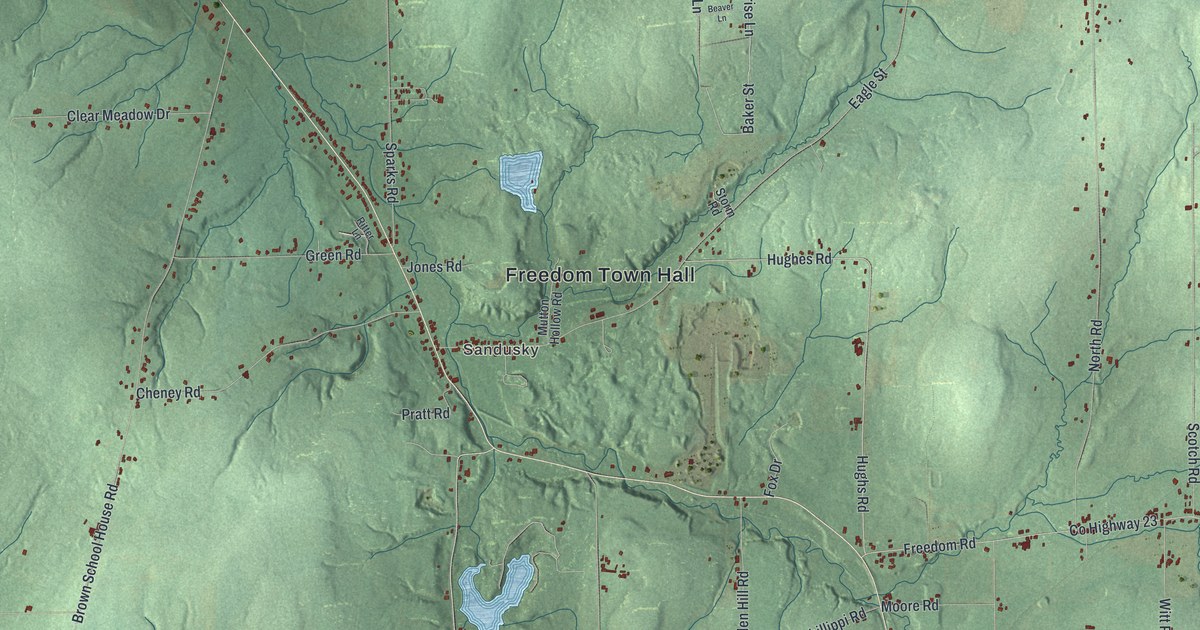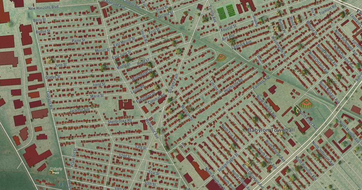
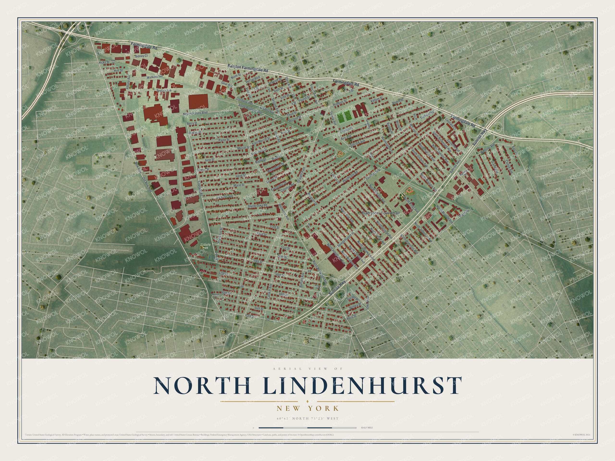
This beautifully detailed map of North Lindenhurst, New York was created in 2026 using aerial imagery combined with modern topographical, census, street and landmark data. It's a modern aerial view of North Lindenhurst in Suffolk County, New York, that combines modern data with a vintage aesthetic. The roads feature printed names, and if you look closely you can find your exact house accurately shown in its correct location.
Explore an aerial view of North Lindenhurst, New York
On this map you'll find Babylon Townhall, Zahn's Park, Farmingdale Road, Babylon Farmingdale Road, Sunrise Highway, Old New Highway, Copiage Road, 49th Street, Road 47, New Highway, East June Street, Tenety Avenue, and more. Each red shape is a building, so zoom in on the preview and look for yours.
North Lindenhurst is a community in Suffolk County. The Census Bureau counted 12,000 people here in 2020. The map prints the town name in its title panel, with the coordinates below it.
Take a closer look at the North Lindenhurst map
Names on this map
These names are printed on this map.
Places: Babylon Townhall and Zahn's Park.
Streets and roads: Farmingdale Road, Babylon Farmingdale Road, Sunrise Highway, Old New Highway, Copiage Road, 49th Street, Road 47, New Highway, East June Street, Tenety Avenue, 43rd Street, Second Street.
More street names, A to Z
2 Avenue, 3 Avenue, 3 Street, 4 Avenue, 4 Street, 7 Street, 44th Street, 45th Street, 46th Street, 47th Street, 48th Street, 50th Street, 51st Street, 52nd Street, 53rd Street, Access Drive, Albany Avenue, Bedell Street, Bendix Place, Berry Street, Birs Avenue, Bolton Street, Bono Court, Buffalo Avenue, Burton Place, Catskill Avenue, Centre Avenue, Colonial Road, Copiague Road, Cordeiro Avenue, Cordiero Avenue, East Drive, East Merritt Street, Evergreen Drive, Farmers Avenue, Feustal Street, Fifth Street, First Avenue, First Street, Forsythe Avenue, Fourth Avenue, Fourth Street, Frankfort Street, Frank Street, Garden Place, Gear Avenue, Gladys Street, Grand Avenue, Heathcote Road, Hedwig Street, Herzel Boulevard, Hicks Street, Holt Street, Irene Street, Jackson Avenue, June Street, Kellum Street, Lake Boulevard, Laurel Road, Leibrock Avenue, Leonard Court, Lincoln Drive, Madison Drive, Maple Drive, Marie Street, Merritt Street, Monroe Drive, Mortell Court, New Horizons Boulevard, Ninth Street, North Alleghany Avenue, North Broome Avenue, North Clinton Avenue, North Delaware Avenue, North Erie Avenue, North Fulton Avenue, North Greene Avenue, North Hamilton Avenue, North Indiana Avenue, North Jefferson Avenue, North Kings Avenue, North Monroe Avenue, North Niagara Avenue, North Ontario Avenue, North Putnam Avenue, North Queens Avenue, North Richmond Avenue, North Wellwood Avenue, Oak Street, Paine Street, Perry Street, Ritz Place, Robbins Street, Seabro Avenue, Second Avenue, Seventh Street, Sherbrooke Road, Sidney Court, Sixth Street, Smalling Place, South Railroad Avenue, Spiegelhagen Street, Stevens Street, Straight Path, Third Avenue, Third Street, Tremont Road, Union Road, Washington Drive, Watkins Terrace, Webster Avenue, Wellwood Avenue, Winchester Drive, Wood Place.
See it on a wall
The North Lindenhurst map as a framed print. Swipe for more.


Created by KNOWOL in 2026. The buildings are small red shapes, the roads carry their printed names, and shaded relief shows the shape of the land. The title panel reads "AERIAL VIEW OF NORTH LINDENHURST, NEW YORK" with 40°42' NORTH 73°23' WEST.
It looks right in a kitchen, an office or a den, and it's a gift for anyone who grew up in North Lindenhurst or moved away. Open the preview and find your street. See sizes and frames for the North Lindenhurst map.