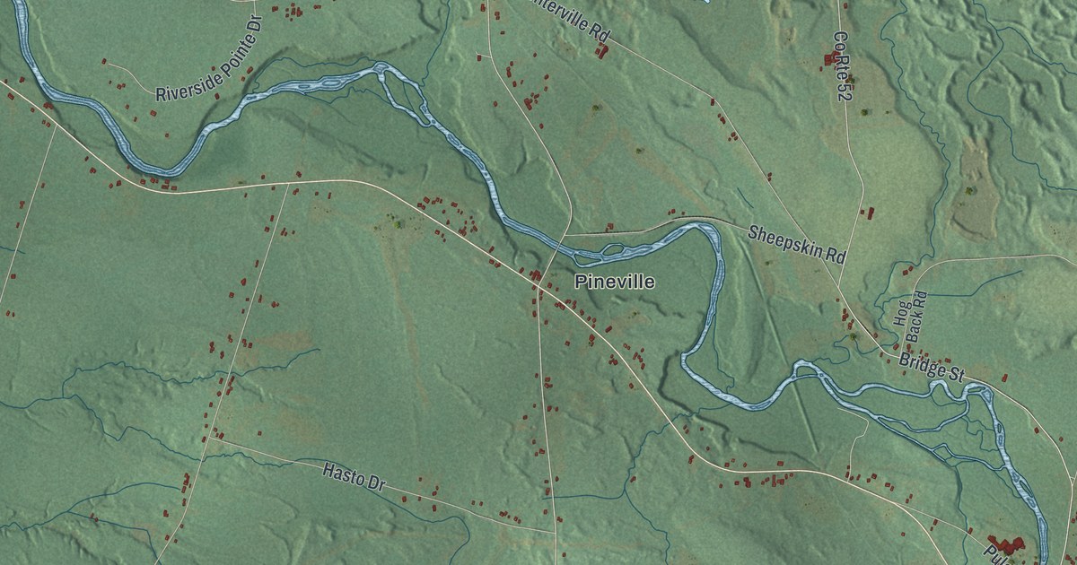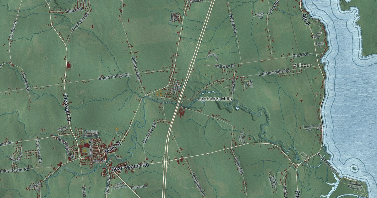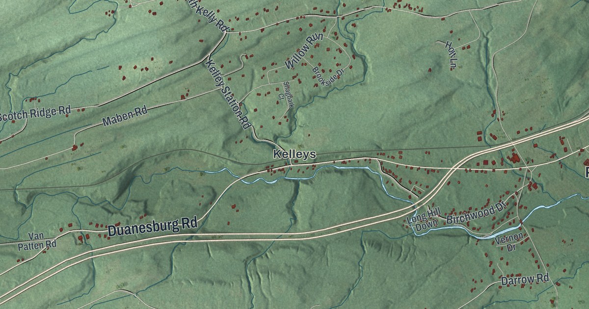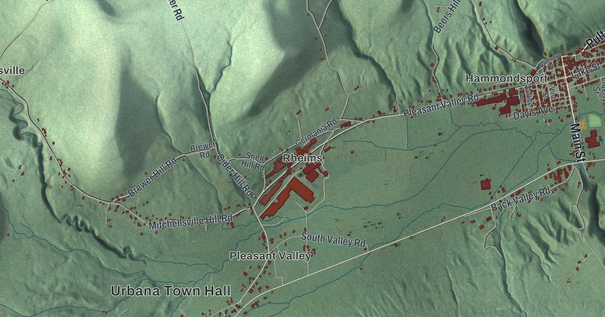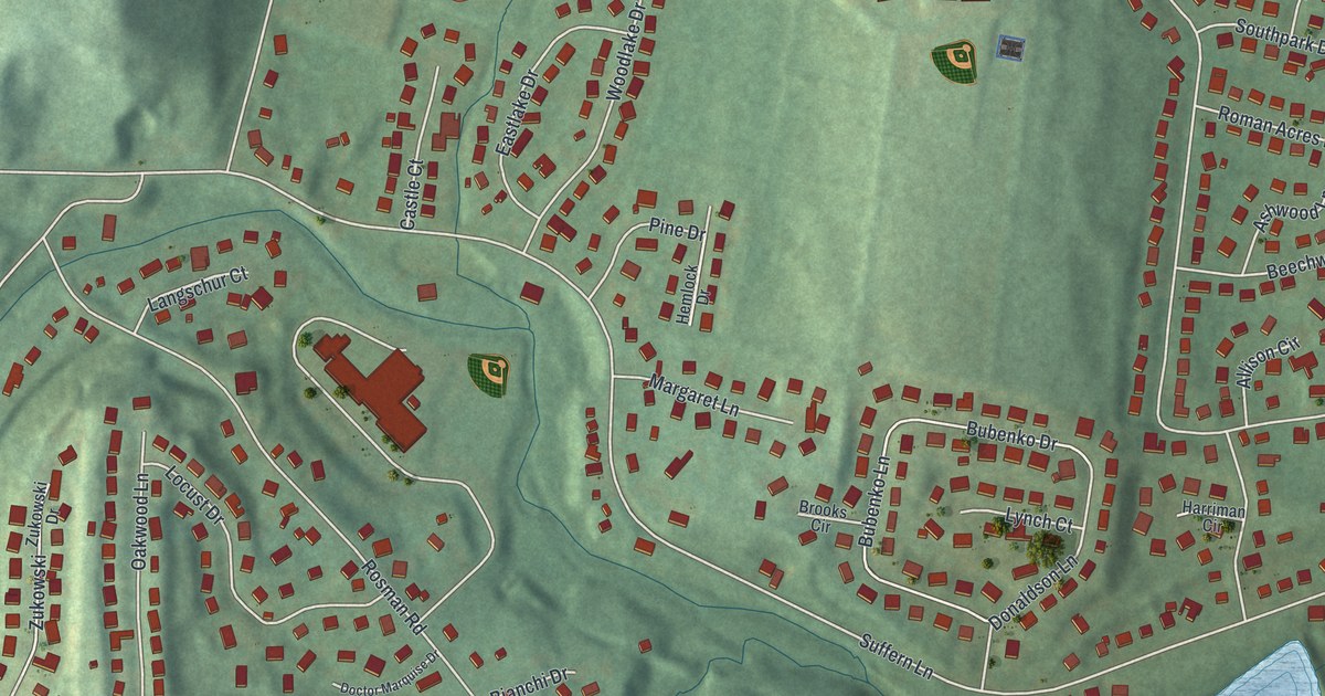
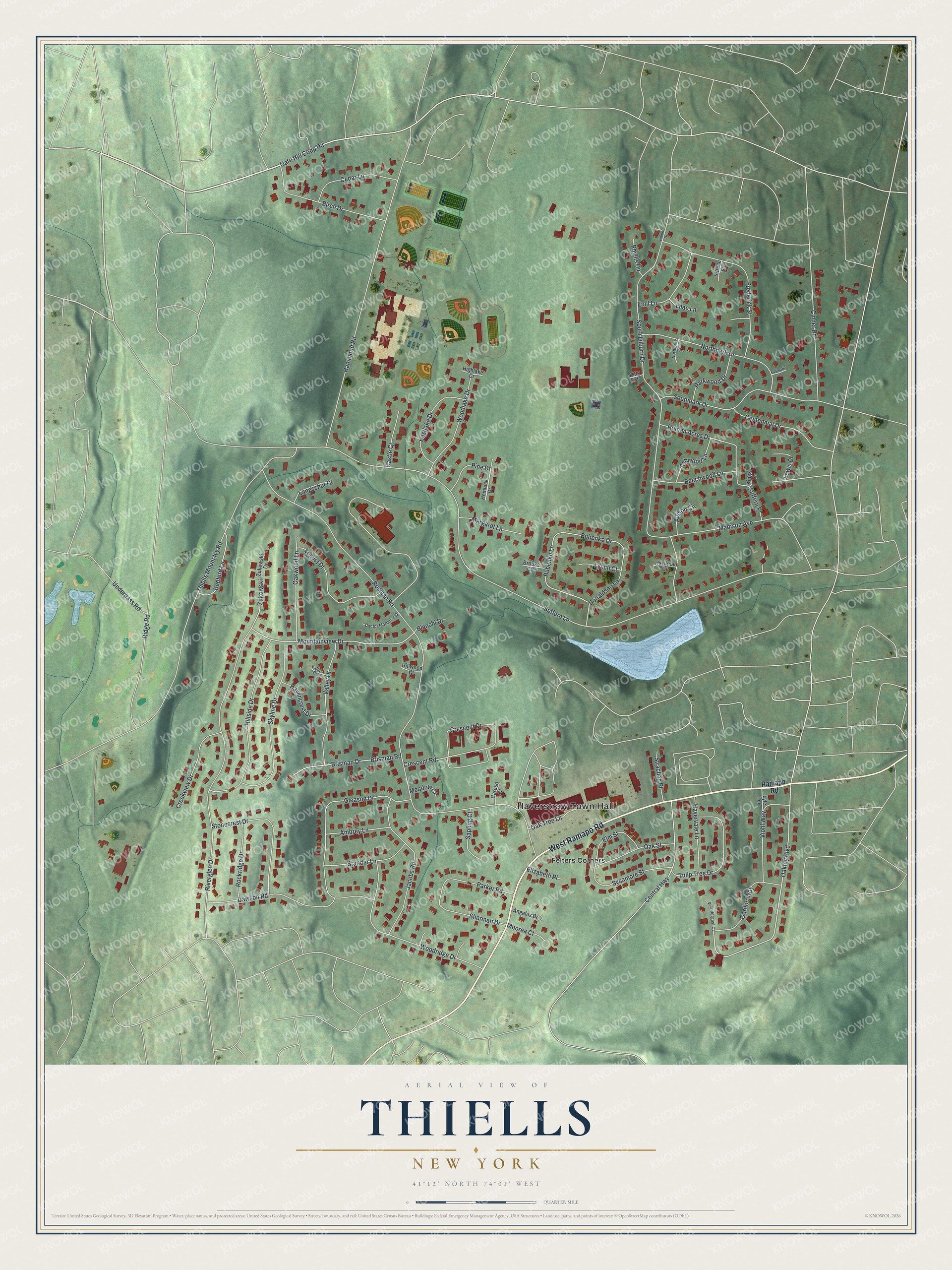
This beautifully detailed map of Thiells, New York was created in 2026 using aerial imagery combined with modern topographical, census, street and landmark data. It's a modern aerial view of Thiells in Rockland County, New York, that combines modern data with a vintage aesthetic. The roads feature printed names, and if you look closely you can find your exact house accurately shown in its correct location.
Explore an aerial view of Thiells, New York
On this map you'll find Haverstraw Town Hall, Felters Corners, West Ramapo Road, Gate Hill Coop Road, Oakley Boulevard, Mountainview Drive, Crescent Drive, Rosman Road, Suffern Lane, Thiells Mount Ivy Road, South Lilburn Drive, Riverglen Drive, and more. Each red shape is a building, so zoom in on the preview and look for yours.
Thiells is a community in Rockland County. The Census Bureau counted 5,240 people here in 2020. The map prints the town name in its title panel, with the coordinates below it.
Take a closer look at the Thiells map
Names on this map
These names are printed on this map.
Places: Haverstraw Town Hall and Felters Corners.
Streets and roads: West Ramapo Road, Gate Hill Coop Road, Oakley Boulevard, Mountainview Drive, Crescent Drive, Rosman Road, Suffern Lane, Thiells Mount Ivy Road, South Lilburn Drive, Riverglen Drive, Hammond Road, Gleason Drive.
More street names, A to Z
Allison Circle, Ambrey Lane, Angelus Drive, Ashwood Lane, Bedford Lane, Beechwood Lane, Bianchi Drive, Birch Drive, Brisman Drive, Brisman Road, Brooks Circle, Bubenko Drive, Bubenko Lane, Caruso Court, Castle Court, Cedar Lane, Centennial Drive, Central Highway, Cinder Road, Creekview Drive, Crescent Road, Dawson Road, Doctor Marquise Drive, Donaldson Lane, Eastlake Drive, Eastpark Court, Elizabeth Place, Elm Street, Emil Lane, Frederick Street, Gordon Way, Harriman Circle, Havencrest Drive, Havervale Lane, Hemlock Drive, Highlake Drive, Hillside Drive, Hillwood Court, Jacobs Road, Kings Lane, Kitty Court, Langschur Court, Lewis Drive, Lilac Lane, Lilburn Drive, Locust Drive, Lyle Terrace, Lynch Court, Madison Avenue, Margaret Lane, Meadow Court, Moorea Court, Northpark Court, Northpark Drive, Oak Street, Oak Tree Lane, Oakwood Lane, Parker Road, Parkwood Drive, Phyllis Circle, Pine Drive, Prendergast Court, Ramapo Road, Ridge Road, Rockridge Drive, Roman Acres Drive, Sapling Court, Sherman Drive, Skyline Drive, Southpark Drive, Spruce Street, Stander Lane, Stonecrest Drive, Strachan Place, Suffern Place, Sycamore Street, Tulip Tree Drive, Underpass Road, Valley Court, Valley Drive, Viohl Way, Woodlake Drive, Woodridge Drive, Zukowski, Zukowski Drive.
See it on a wall
The Thiells map as a framed print. Swipe for more.


Created by KNOWOL in 2026. The buildings are small red shapes, the roads carry their printed names, and shaded relief shows the shape of the land. The title panel reads "AERIAL VIEW OF THIELLS, NEW YORK" with 41°12' NORTH 74°01' WEST.
It looks right in a kitchen, an office or a den, and it's a gift for anyone who grew up in Thiells or moved away. Open the preview and find your street. See sizes and frames for the Thiells map.