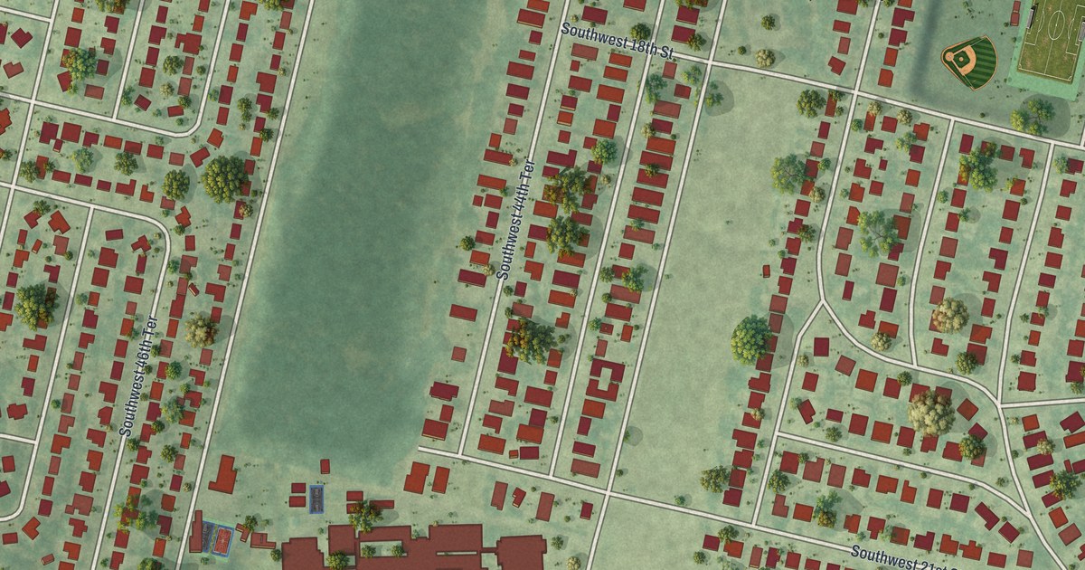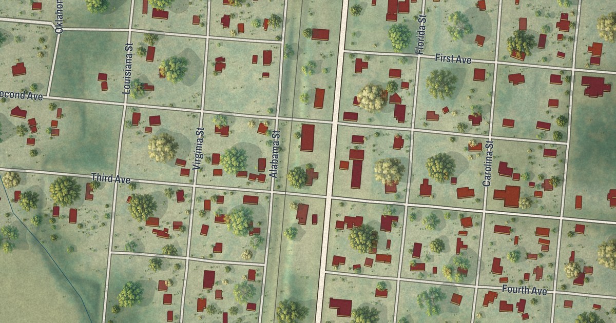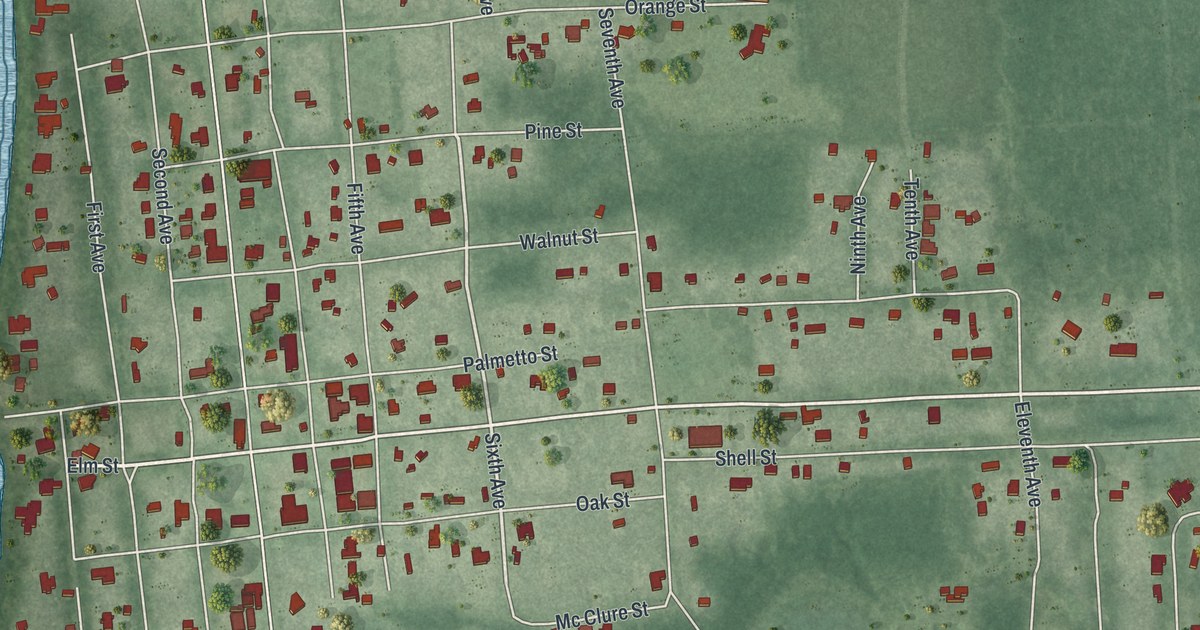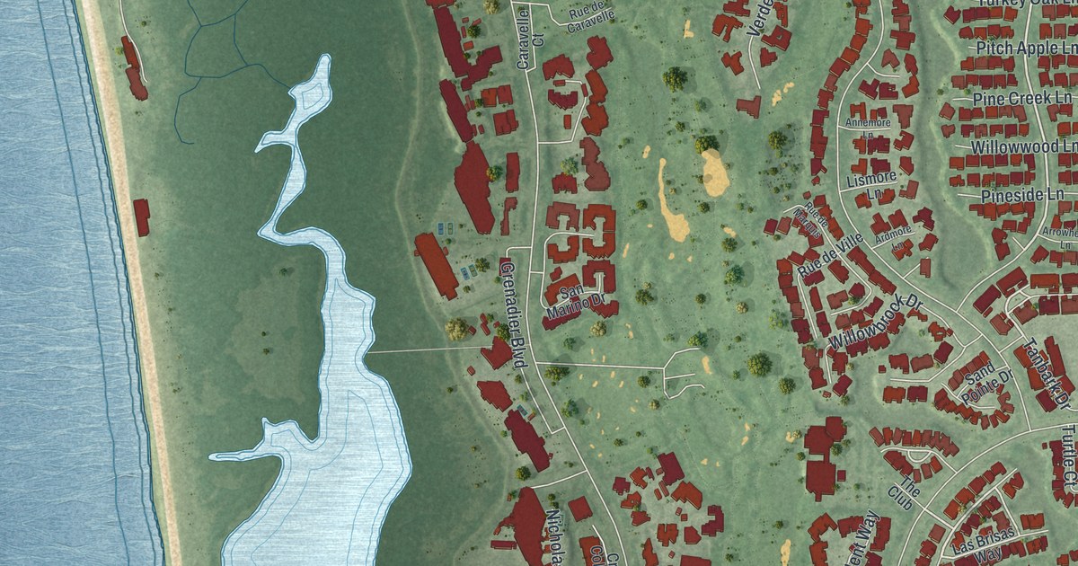
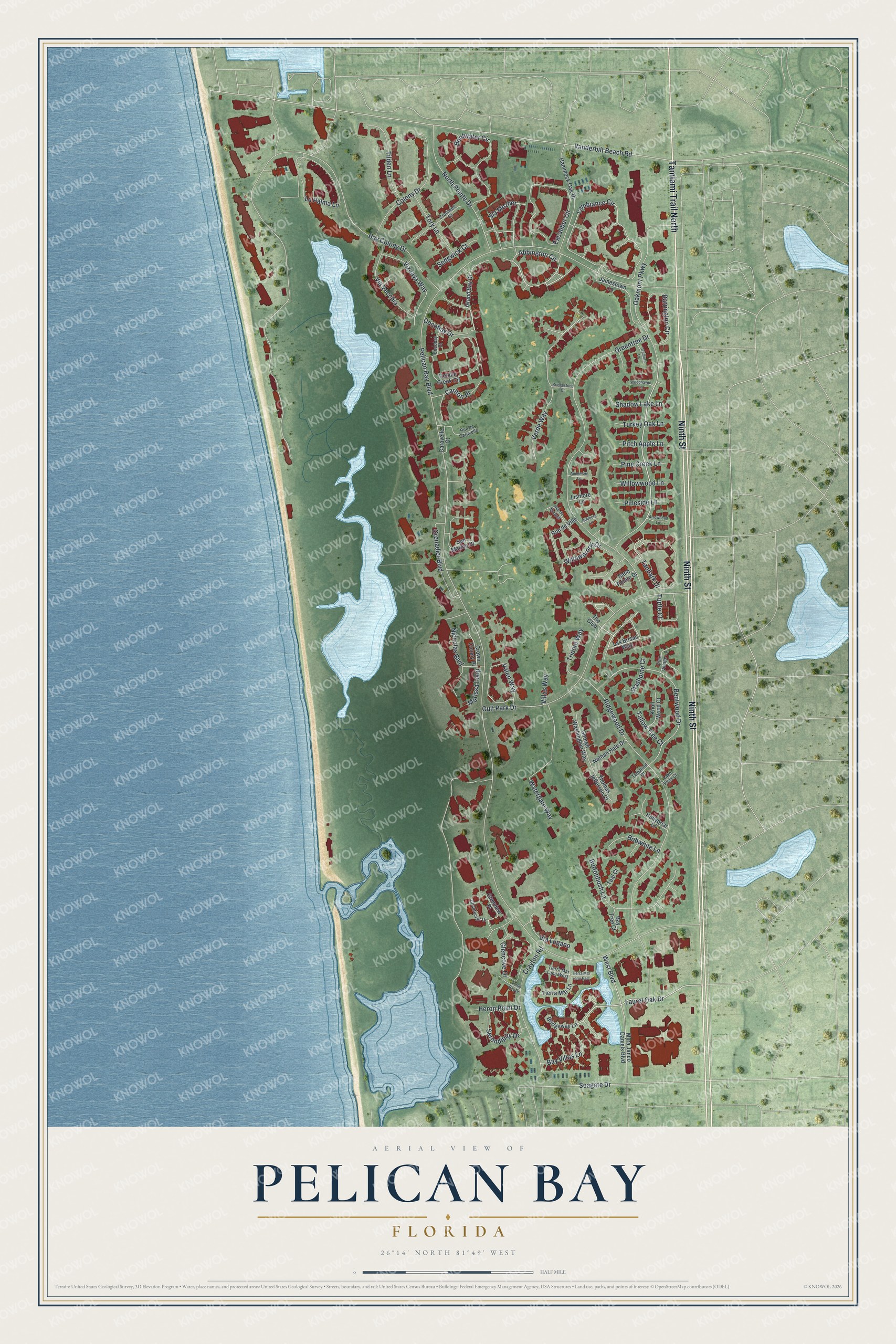
This beautifully detailed map of Pelican Bay, Florida was created in 2026 using aerial imagery combined with modern topographical, census, street and landmark data. It's a modern aerial view of Pelican Bay in Collier County, Florida, that combines modern data with a vintage aesthetic. The roads feature printed names, and if you look closely you can find your exact house accurately shown in its correct location.
Explore an aerial view of Pelican Bay, Florida
On this map you'll find Ninth Street, Tamiami Trail North, Tanbark Drive, Oakmont Parkway, Via Mezner, Laurel Oak Drive, Abbington Circle, Verde Way, Lambiance Circle, Bentwood Drive, Seagate Drive, Carlton Place, and more. Each red shape is a building, so zoom in on the preview and look for yours.
Pelican Bay is a community in Collier County. The Census Bureau counted 6,660 people here in 2020. The map prints the town name in its title panel, with the coordinates below it.
Take a closer look at the Pelican Bay map
Names on this map
These names are printed on this map.
Streets and roads: Ninth Street, Tamiami Trail North, Tanbark Drive, Oakmont Parkway, Via Mezner, Laurel Oak Drive, Abbington Circle, Verde Way, Lambiance Circle, Bentwood Drive, Seagate Drive, Carlton Place.
More street names, A to Z
Annemore Lane, Ardmore Lane, Arrowhead Lane, Barrington Circle, Bay Colony Drive, Bay Tree Court, Bay Villas Lane, Bentwater Circle, Bobwhite Lane, Bridgestone Court, Bridgeway Lane, Buttonbush Lane, Caravelle Court, Chanteclair Drive, Cocobay Court, Cocobay Drive, Colony Drive, Crayton Road, Cromwell Court, Crown Colony Place, Excalibur Circle, George Washington Way, Glencove Drive, Glenview Place, Grand Bay Drive, Greentree Drive, Grenadier Boulevard, Gulf Park Drive, Hammock Oak Drive, Heron Point Drive, Hollybriar Lane, Jamestown Lane, Knoll Wood Court, Lake Vista Court, La Palma Lane, Las Brisas Way, Lismore Lane, Marissa Loop, Myra Janco Daniels Boulevard, Nathan Hale Drive, Nicholas Boulevard, North Pointe Drive, Pebble Creek Circle, Pelican Bay Boulevard, Pine Creek Lane, Pineside Lane, Pine Village Lane, Pitch Apple Lane, Ridgewood Drive, Rue de Caravelle, Rue de Marquis, Rue de Ville, Sand Pointe Drive, San Marino Drive, Sedgwick Court, Serendipity Drive, Shadow Lake Lane, Slashpine Court, Tallow Tree Court, Tamarind Court, Teal Court, The Club, Thomas Jefferson Court, Tierra Mar Lane, Tierra Mar Lane East, Tierra Mar Lane West, Tilden Lane, Tory Lane, Tramore Lane, Trident Way, Turkey Oak Lane, Turtle Bay Drive, Turtle Court, Valen Way, Vanderbilt Beach Road, Via Lugano, Via Vecchia, Villas Way, Vizcaya Way, Watergate Way, West Boulevard, Willowbrook Drive, Willowwood Lane, Woodhaven Lane.
See it on a wall
The Pelican Bay map as a framed print. Swipe for more.


Created by KNOWOL in 2026. The buildings are small red shapes, the roads carry their printed names, and shaded relief shows the shape of the land. The title panel reads "AERIAL VIEW OF PELICAN BAY, FLORIDA" with 26°14' NORTH 81°49' WEST.
It suits a den, a classroom or a front hall, and it makes a gift for anyone with Pelican Bay roots. Open the preview and find the block you know. See sizes and frames for the Pelican Bay map.