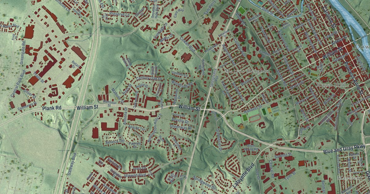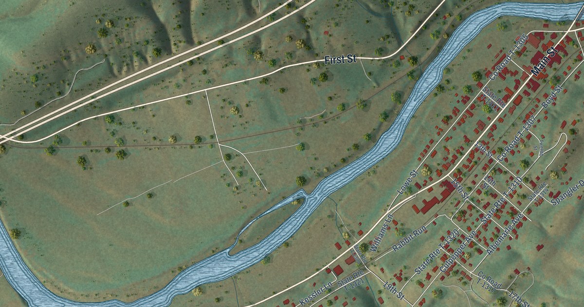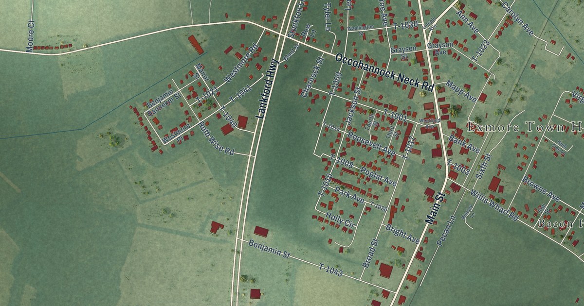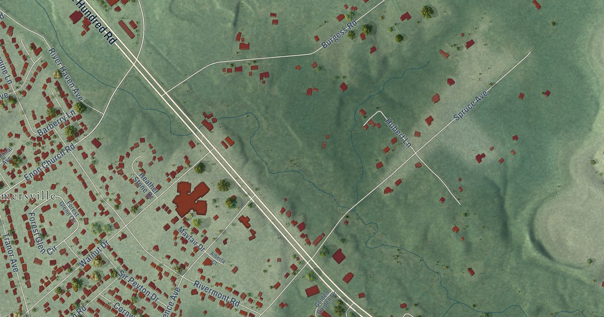
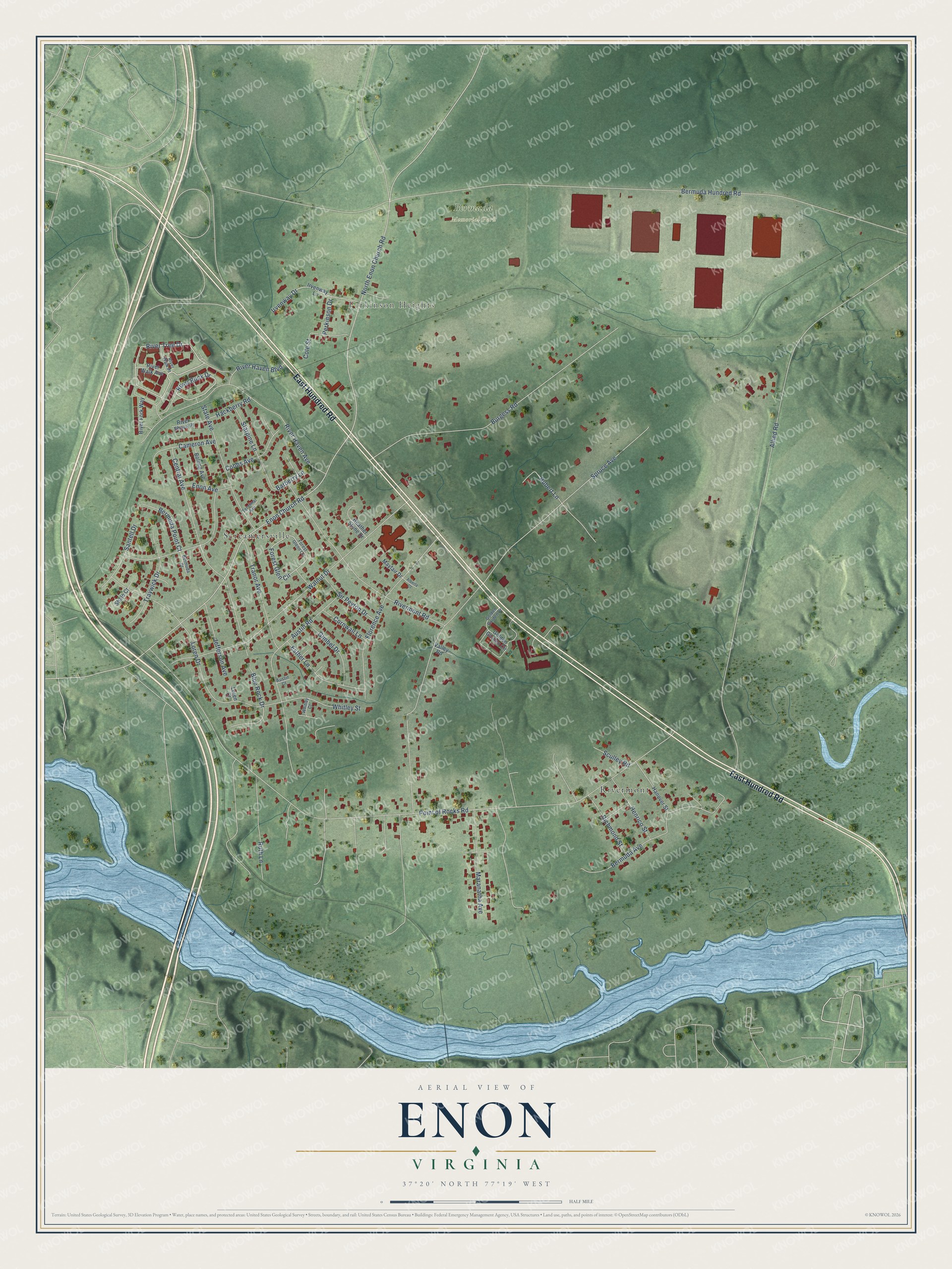
This beautifully detailed map of Enon, Virginia was created in 2026 using aerial imagery combined with modern topographical, census, street and landmark data. It's a modern aerial view of Enon in Chesterfield County, Virginia, that combines modern data with a vintage aesthetic. The roads feature printed names, and if you look closely you can find your exact house accurately shown in its correct location.
Explore an aerial view of Enon, Virginia
On this map you'll find Perkinson Heights, Bermuda Memorial Park, Rivermont, Screamersville, East Hundred Road, River Tree Drive, River Rock Drive, Bermuda Hundred Road, Point of Rocks Road, Allied Road, Spruce Avenue, Bermuda Avenue, and more. Each red shape is a building, so zoom in on the preview and look for yours.
Enon is a community in Chesterfield County. The Census Bureau counted 4,075 people here in 2020. The map prints the town name in its title panel, with the coordinates below it.
Take a closer look at the Enon map
Names on this map
These names are printed on this map.
Places: Perkinson Heights, Bermuda Memorial Park, Rivermont and Screamersville.
Streets and roads: East Hundred Road, River Tree Drive, River Rock Drive, Bermuda Hundred Road, Point of Rocks Road, Allied Road, Spruce Avenue, Bermuda Avenue, Enon Church Road, Walnut Drive, Burgess Road, River Haven Avenue.
More street names, A to Z
Alberta Court, Austin Court, Austin Road, Barberry Lane, Bermuda Court, Bermuda Point Court, Blue Rock Drive, Bolling Avenue, Cameron Avenue, Central Avenue, Cobbs Avenue, Cole Street, Cornwall Lane, Enon Avenue, Esther Lane, Florence Avenue, Forest Glen Circle, Forest Glenn Circle, Gimbel Drive, Golden Garden Circle, Golden Garden Drive, Hackberry Road, Hanover Street, Heather Stone Drive, Henrico Street, Hubert Lane, Irvenway Drive, Irvenway Lane, Jefferson Avenue, Loren Court, Loren Drive, Maranatha Avenue, Mayfair Drive, North Enon Church Road, Perkinson Drive, Richmond Street, River Fork Way, River Haven Boulevard, Rivermont Road, River Shore Place, River Walk Avenue, River Walk Place, Ruth Lane, Santell Drive, Sculley Road, Shale Court, Sir Peyton Drive, Starpine Lane, State Avenue, Terminal Avenue, Tranor Avenue, Traywick Drive, Valley Road, Whitley Court, Whitley Street.
See it on a wall
The Enon map as a framed print. Swipe for more.


Created by KNOWOL in 2026. The buildings are small red shapes, the roads carry their printed names, and shaded relief shows the shape of the land. The title panel reads "AERIAL VIEW OF ENON, VIRGINIA" with 37°20' NORTH 77°19' WEST.
Hang it in the hallway, the office or the cabin, or give it to someone who left Enon and still calls it home. Open the preview and look for a street you know. See sizes and frames for the Enon map.