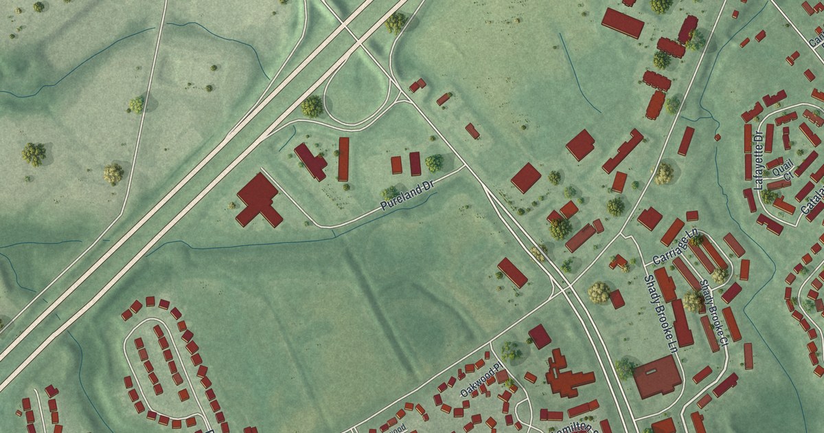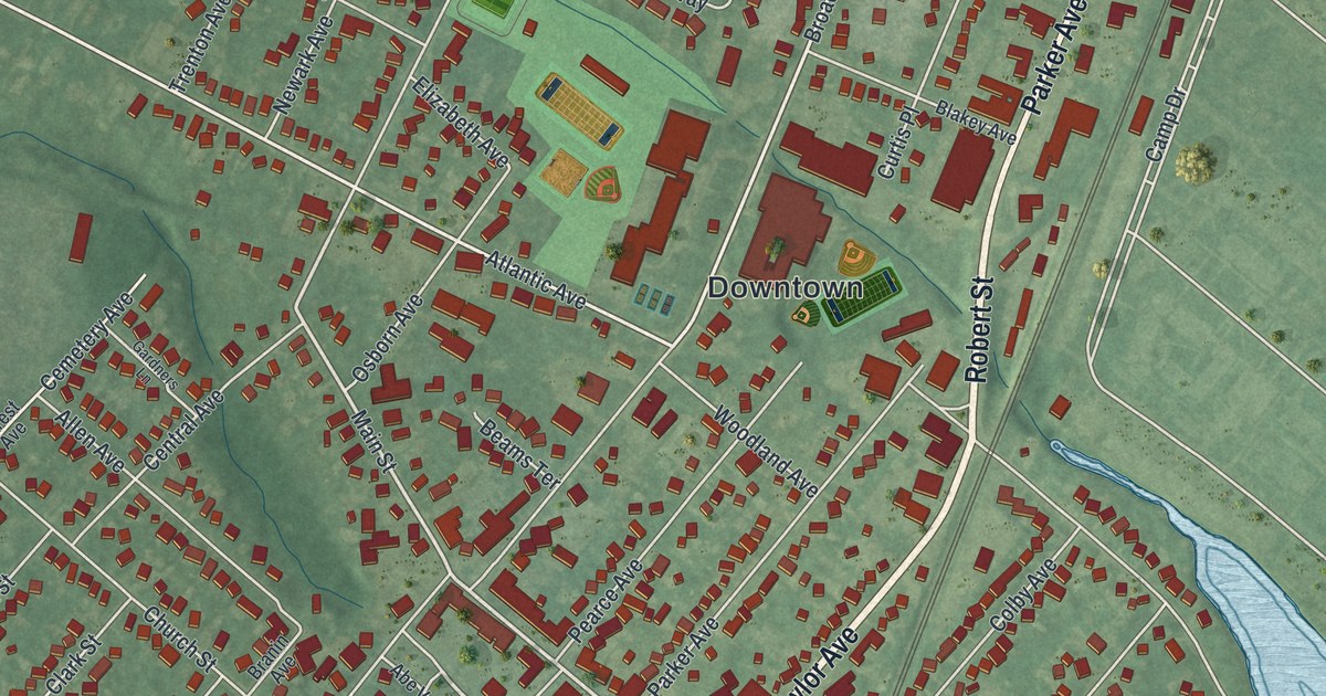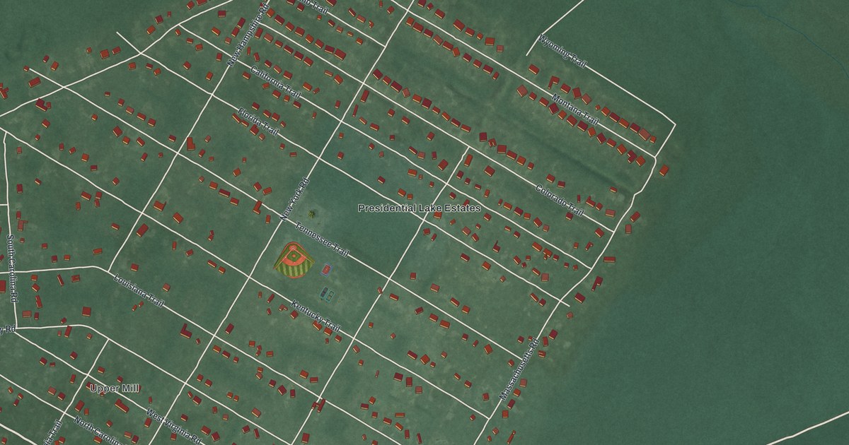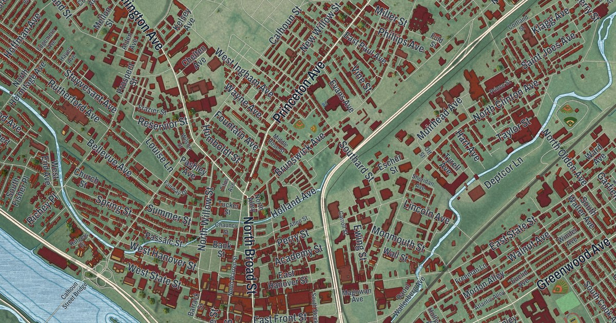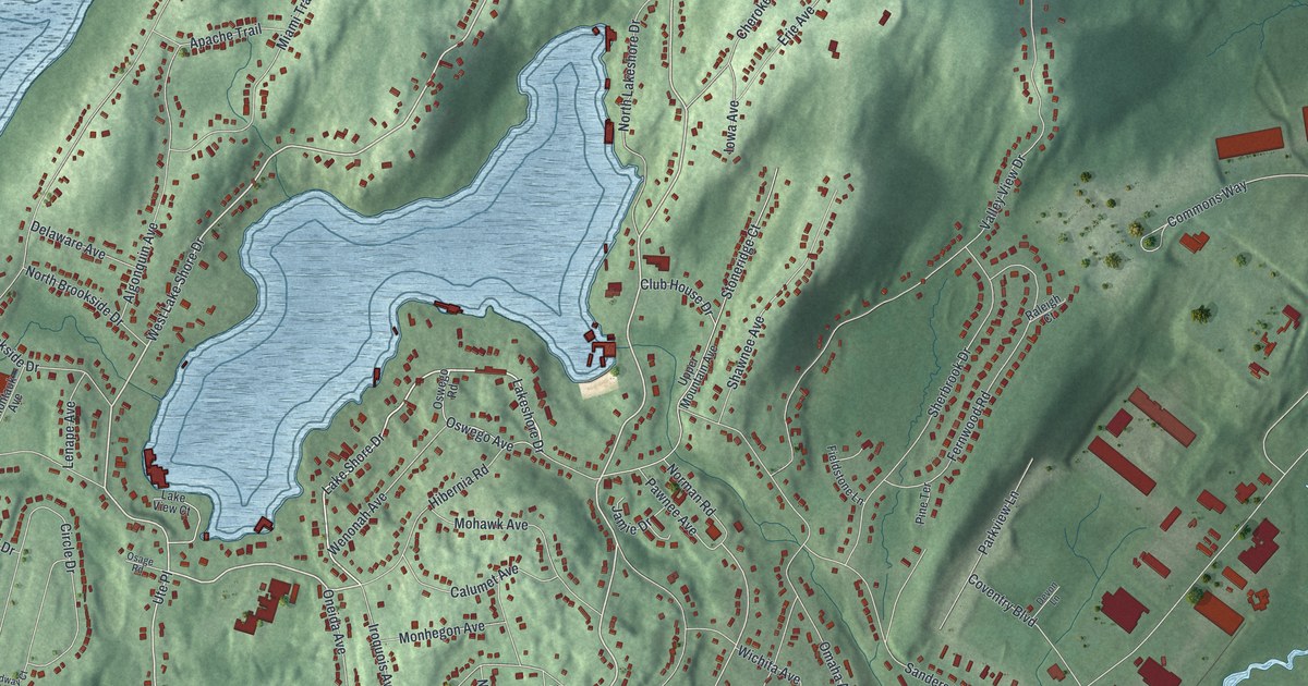
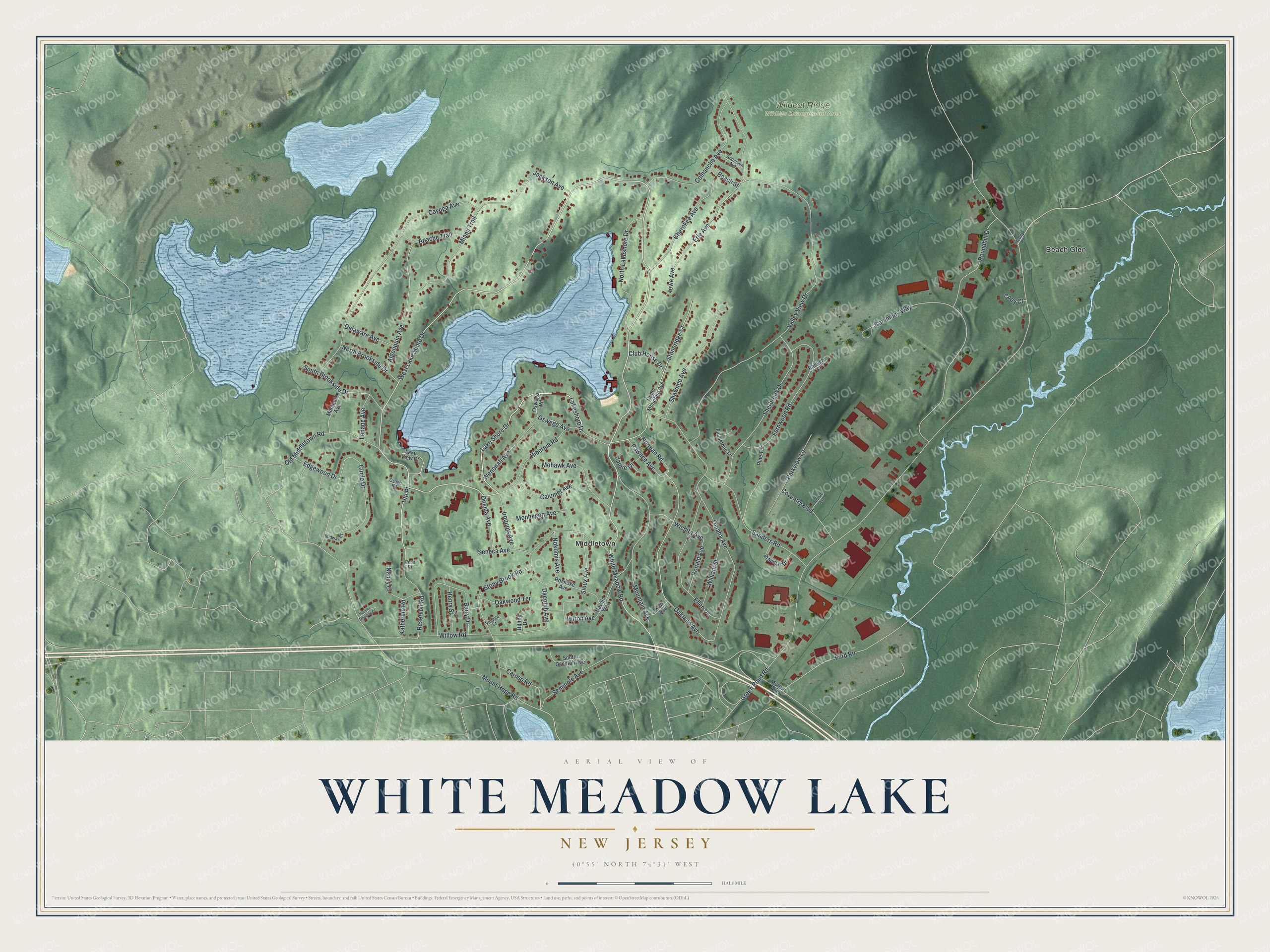
This beautifully detailed map of White Meadow Lake, New Jersey was created in 2026 using aerial imagery combined with modern topographical, census, street and landmark data. It's a modern aerial view of White Meadow Lake in Morris County, New Jersey, that combines modern data with a vintage aesthetic. The roads feature printed names, and if you look closely you can find your exact house accurately shown in its correct location.
Explore an aerial view of White Meadow Lake, New Jersey
On this map you'll find Wildcat Ridge Wildlife Management Area, Middletown, Beach Glen, White Meadow Road, West Lake Shore Drive, Lake Shore Drive, Lakeshore Drive, Ute Place, Oakland Avenue, Katherine Road, Erie Avenue, Green Pond Road, and more. Each red shape is a building, so zoom in on the preview and look for yours.
White Meadow Lake is a community in Morris County. The Census Bureau counted 8,710 people here in 2020. The map prints the town name in its title panel, with the coordinates below it.
Take a closer look at the White Meadow Lake map
Names on this map
These names are printed on this map.
Places: Wildcat Ridge Wildlife Management Area, Middletown and Beach Glen.
Streets and roads: White Meadow Road, West Lake Shore Drive, Lake Shore Drive, Lakeshore Drive, Ute Place, Oakland Avenue, Katherine Road, Erie Avenue, Green Pond Road, Valley View Drive, Mount Hope Road, Commons Way.
More street names, A to Z
Algonquin Avenue, Anderson Avenue, Apache Trail, Barry Drive, Beach Street, Braemar Drive, Calumet Avenue, Caruso Road, Cayuga Avenue, Cherokee Avenue, Circle Drive, Club House Drive, Cody Court, Comanche Avenue, Coventry Boulevard, Dacotah Avenue, Delaware Avenue, Devon Lane, Edgewood Drive, Ellen Drive, Fernwood Road, Fieldstone Lane, Ford Road, Heddy Road, Henry Street, Hibernia Road, Hilltop Drive, Hunting Meadow Court, Huron Avenue, Iowa Avenue, Iroquois Avenue, Jackson Avenue, Jamie Drive, Kaw Avenue, Lake View Court, Lenape Avenue, Miami Trail, Midway Court, Mohawk Avenue, Monhegon Avenue, Montauk Avenue, Morris Avenue, Mountain Avenue, Nancy Court, Navajo Way, Nokomis Avenue, Norman Road, North Brookside Drive, North Lakeshore Drive, Oakwood Terrace, Old Middletown Road, Omaha Avenue, Oneida Avenue, Osage Road, Oswego Avenue, Oswego Road, Parkview Lane, Pawnee Avenue, Pine Terrace, Pond Drive, Raleigh Court, Reservoir Road, Roanoke Avenue, Ronald Avenue, Roundhill Drive, Sanders Road, Seminole Avenue, Seneca Avenue, Shawnee Avenue, Sherbrook Drive, Sioux Avenue, South Brookside Drive, South Dacotah Avenue, Stoneridge Court, Stony Brook Road, Upper Mountain Avenue, Vintage Court, Wenonah Avenue, Wichita Avenue, William Street, Willow Road.
See it on a wall
The White Meadow Lake map as a framed print. Swipe for more.


Created by KNOWOL in 2026. The buildings are small red shapes, the roads carry their printed names, and shaded relief shows the shape of the land. The title panel reads "AERIAL VIEW OF WHITE MEADOW LAKE, NEW JERSEY" with 40°55' NORTH 74°31' WEST.
It looks right in a kitchen, an office or a den, and it's a gift for anyone who grew up in White Meadow Lake or moved away. Open the preview and find your street. See sizes and frames for the White Meadow Lake map.