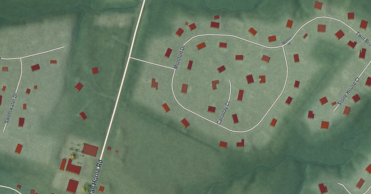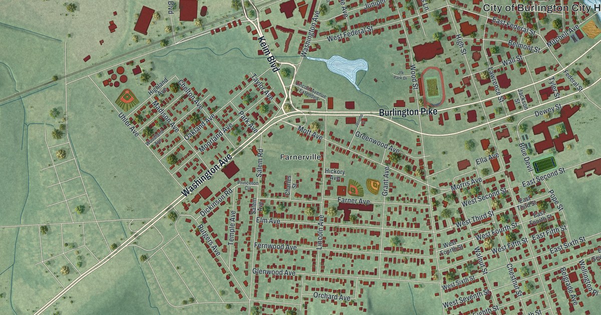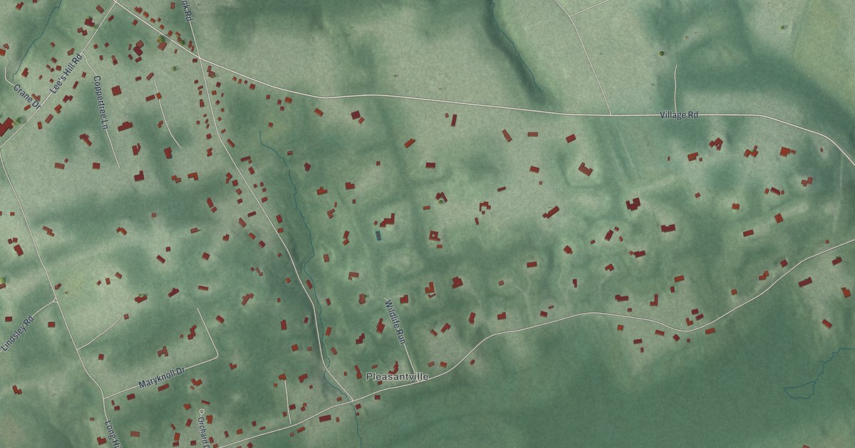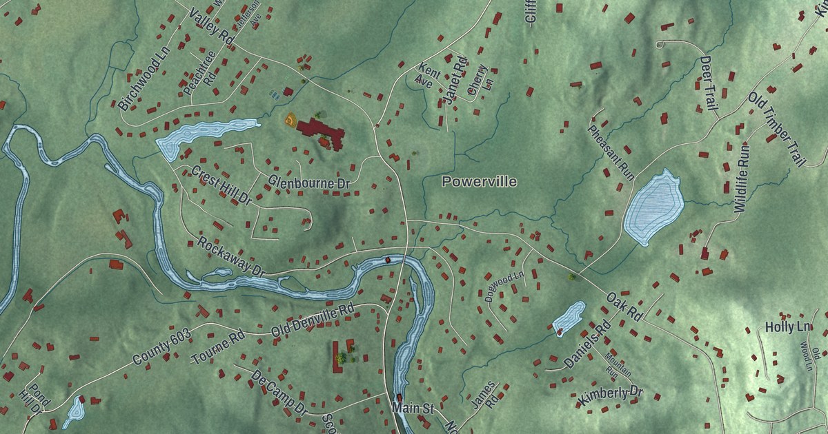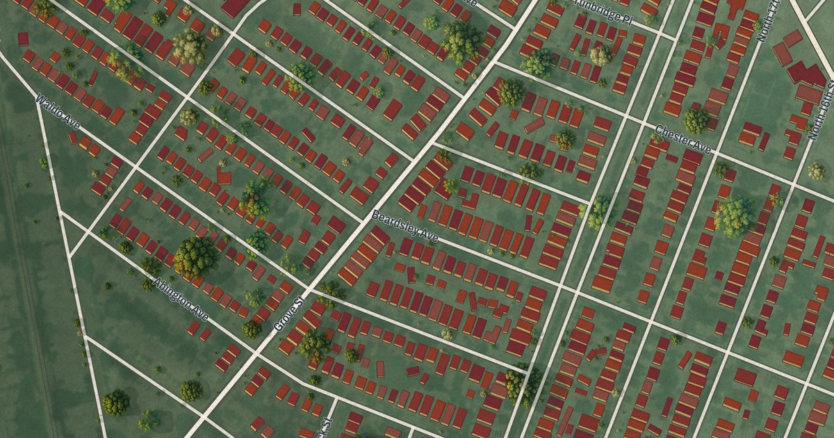
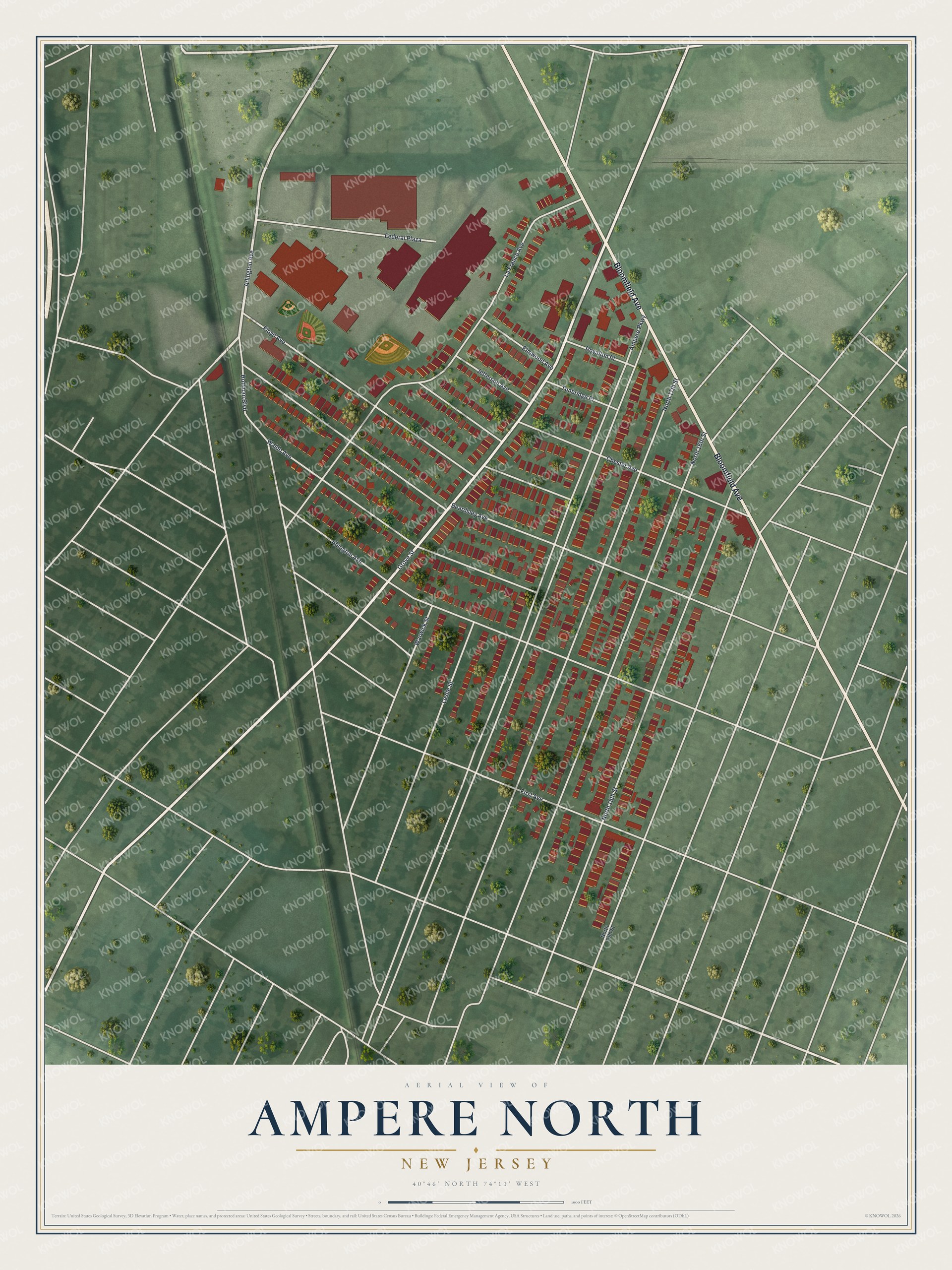
This beautifully detailed map of Ampere North, New Jersey was created in 2026 using aerial imagery combined with modern topographical, census, street and landmark data. It's a modern aerial view of Ampere North in Essex County, New Jersey, that combines modern data with a vintage aesthetic. The roads feature printed names, and if you look closely you can find your exact house accurately shown in its correct location.
Explore an aerial view of Ampere North, New Jersey
On this map you'll find Bloomfield Avenue, Grove Street, Arlington Avenue, Ampere Parkway, Beardsley Avenue, North 16th Street, North 17th Street, North 15th Street, La France Avenue, Floyd Avenue, Abington Avenue, Chester Avenue, and more. Each red shape is a building, so zoom in on the preview and look for yours.
Here is a piece of Ampere North history. The Ampere name came from the Crocker-Wheeler Electric Company, which built its new and enlarged dynamo and motor works in a suburb of Newark and named the place Ampere, for the unit of electricity named after a French physicist. A railway depot named Ampere opened opposite the entrance to the works. Hundreds of its workers were settling there. The paper said the town would soon be as well known for electrical machinery as Trenton was for pottery. That's from the Electrical Age.
Ampere North is a community in Essex County. The Census Bureau counted 5,132 people here in 2020. The map prints the town name in its title panel, with the coordinates below it.
Take a closer look at the Ampere North map
Names on this map
These names are printed on this map.
Streets and roads: Bloomfield Avenue, Grove Street, Arlington Avenue, Ampere Parkway, Beardsley Avenue, North 16th Street, North 17th Street, North 15th Street, La France Avenue, Floyd Avenue, Abington Avenue, Chester Avenue.
More street names, A to Z
Elmwood Avenue, Federal Plaza, First Avenue, Hoffman Boulevard, Jefferson Avenue, Leslie Street, North 13th Street, Royalton Place, Tunbridge Place, Waldo Avenue, Warwick Street.
See it on a wall
The Ampere North map as a framed print. Swipe for more.


Created by KNOWOL in 2026. The buildings are small red shapes, the roads carry their printed names, and shaded relief shows the shape of the land. The title panel reads "AERIAL VIEW OF AMPERE NORTH, NEW JERSEY" with 40°46' NORTH 74°11' WEST.
It suits a den, a classroom or a front hall, and it makes a gift for anyone with Ampere North roots. Open the preview and find the block you know. See sizes and frames for the Ampere North map.