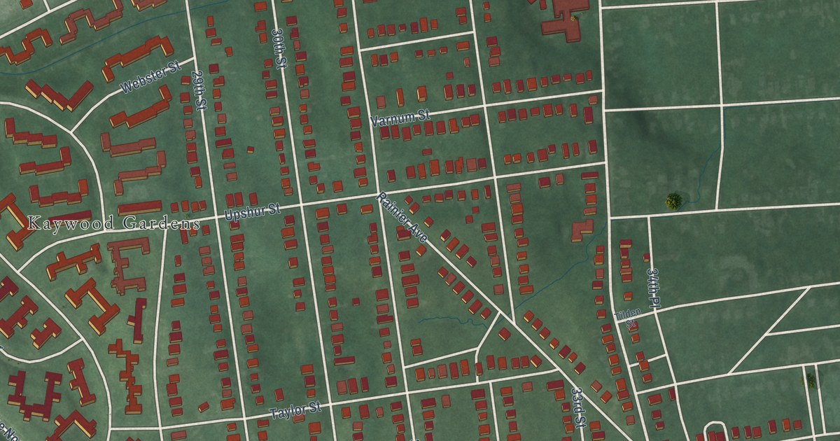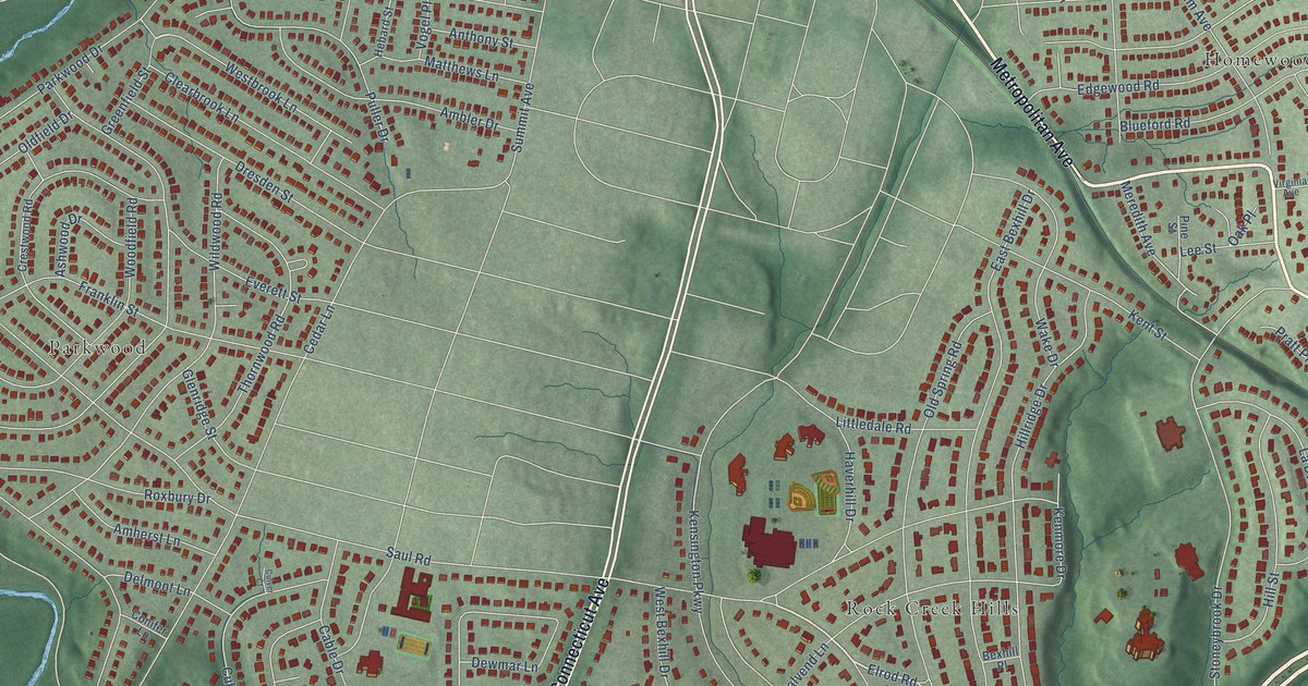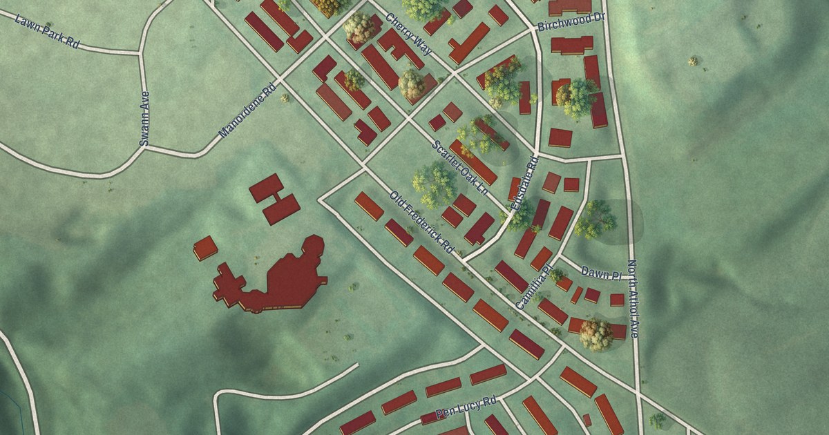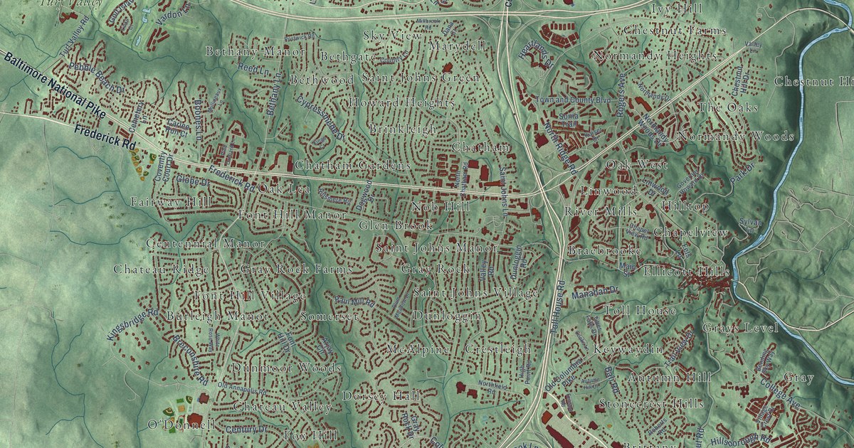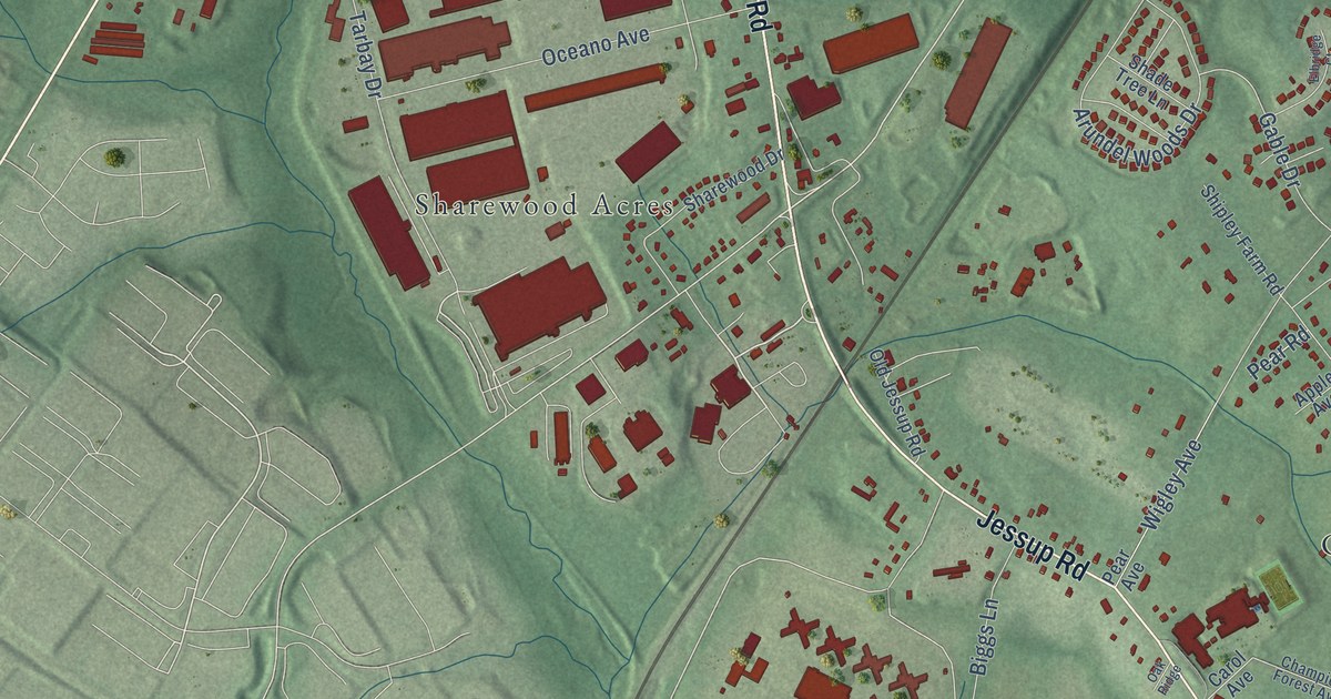
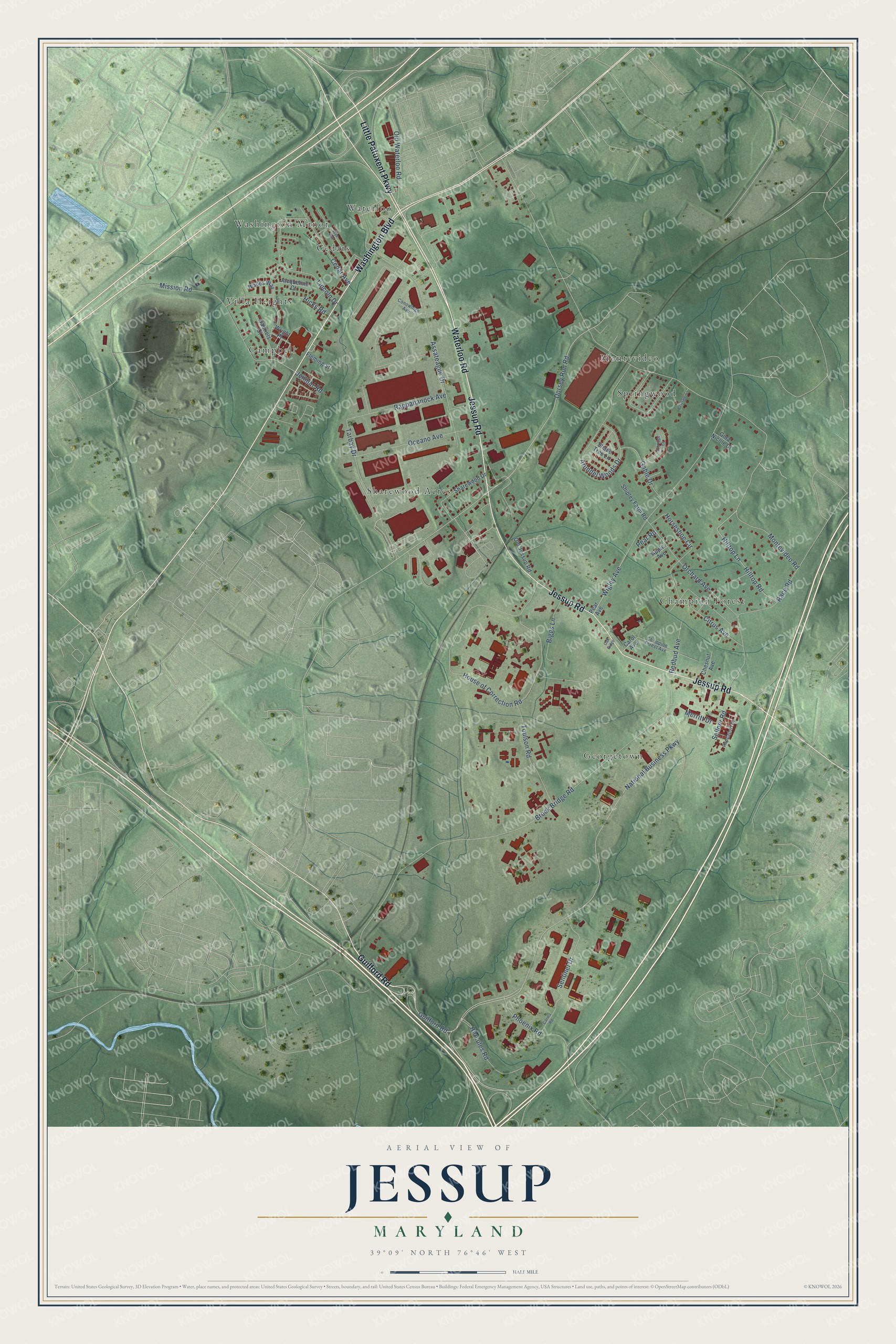
This beautifully detailed map of Jessup, Maryland was created in 2026 using aerial imagery combined with modern topographical, census, street and landmark data. It's a modern aerial view of Jessup in Anne Arundel County, Maryland, that combines modern data with a vintage aesthetic. The roads feature printed names, and if you look closely you can find your exact house accurately shown in its correct location.
Explore an aerial view of Jessup, Maryland
On this map you'll find Sharewood Acres, Waterloo, Georgetown, Springwood, Villa Heights, Champion Forest, Cedars, Campbell, Washington Manor, Montevideo, Guilford Road, Waterloo Road, and more. Each red shape is a building, so zoom in on the preview and look for yours.
Here is a piece of Jessup history, in the words of the record. The Jessup Improvement Association puts it this way: "There was a two-mile stretch, and Jonathan Jessup, one of the contractors, who had worked on the Main Stem of the rail line, was employed to level this two-mile stretch. The excavation became known as Jessop's Cut."
Jessup is a community in Anne Arundel County. The Census Bureau counted 10,535 people here in 2020.
Take a closer look at the Jessup map
Names on this map
These names are printed on this map.
Places: Sharewood Acres, Waterloo, Georgetown, Springwood, Villa Heights, Champion Forest, Cedars, Campbell, Washington Manor and Montevideo.
Streets and roads: Guilford Road, Waterloo Road, Washington Boulevard, Jessup Road, Little Patuxent Parkway, Dorsey Run Road, National Business Parkway, House of Correction Road, Montevideo Road, Brock Bridge Road, Mission Road, Wigley Avenue.
More street names, A to Z
Apple Avenue, Arundel Woods Drive, Assateague Drive, Belclare Court, Biggs Lane, Carina Road, Carol Avenue, Cedar Avenue, Champion Forest Avenue, Chesnut Avenue, Citrus Avenue, Conowingo Avenue, Elbridge Court, Fleming Street, Gable Drive, Gabriels Court, Gina Nicole Court, Hercules Road, Hicks Road, Hilltop Lane, Hilltop Road, Horseshoe Circle, Jacqueline Court, Jenmar Road, Lincoln Drive, Merritt Drive, Oak Ridge, Oceano Avenue, Old Jessup Road, Old Waterloo Road, Orchard Avenue, Pear Avenue, Pear Road, Phoenix Road, Race Road, Rappahanock Avenue, Rappaport Drive, Redbud Avenue, Sellner Road, Sentinel Drive, Shade Tree Lane, Sharewood Drive, Shipley Farm Road, Tarbay Drive, Toulson Road, Wades Way, Wright Place, Wye Avenue.
See it on a wall
The Jessup map as a framed print. Swipe for more.


Created by KNOWOL in 2026. The buildings are small red shapes, the roads carry their printed names, and shaded relief shows the shape of the land. The title panel reads "AERIAL VIEW OF JESSUP, MARYLAND" with 39°09' NORTH 76°46' WEST.
It suits a den, a classroom or a front hall, and it makes a gift for anyone with Jessup roots. Open the preview and find the block you know. See sizes and frames for the Jessup map.