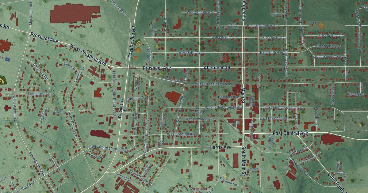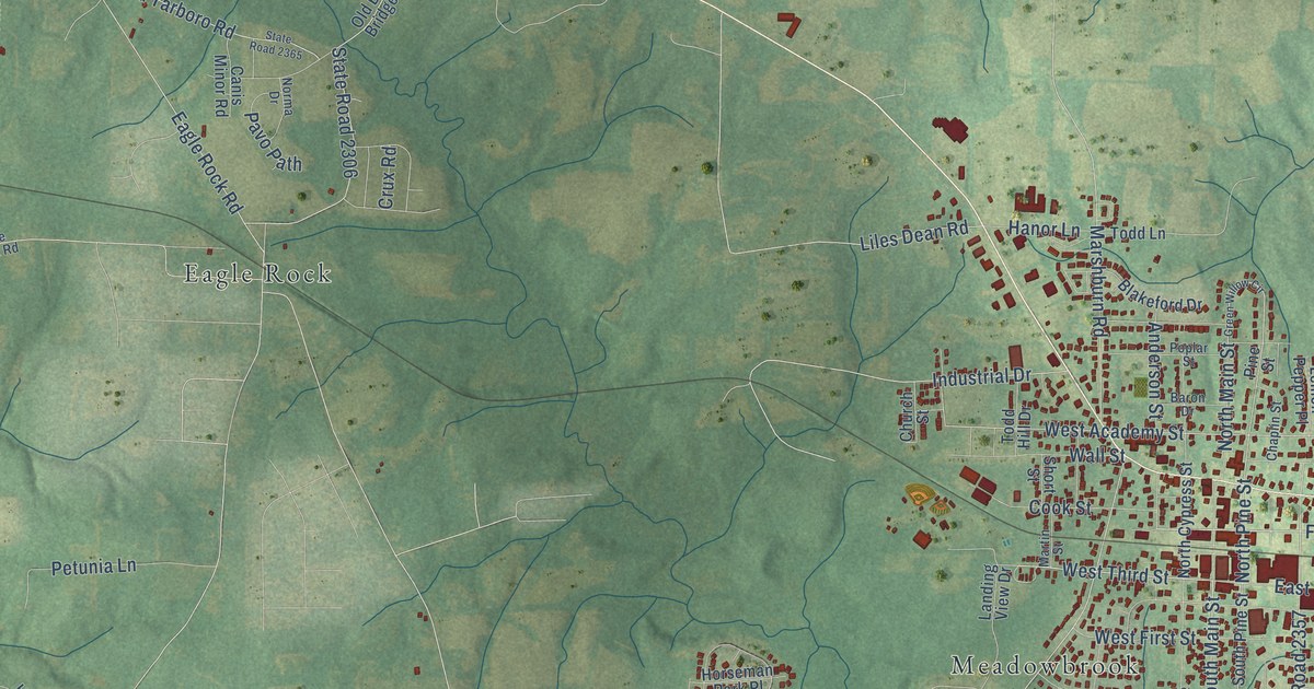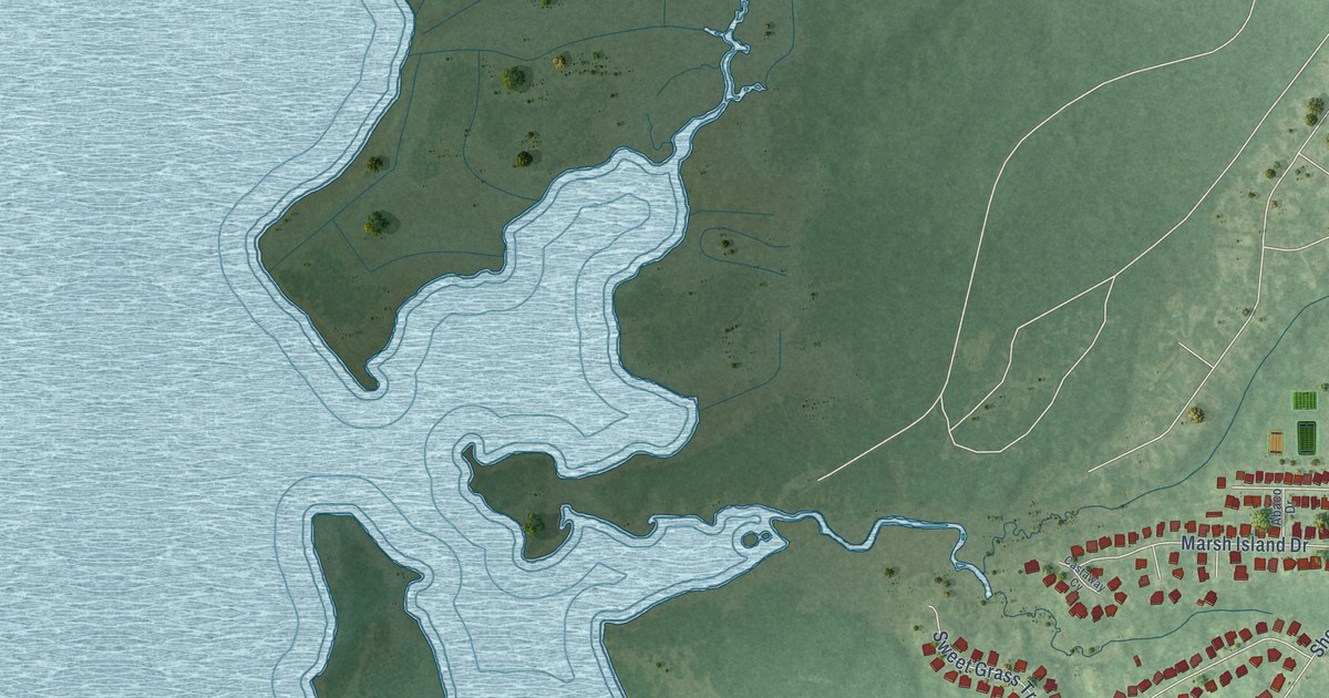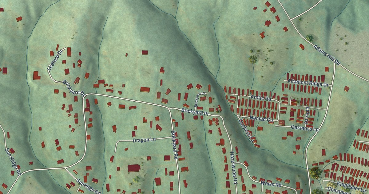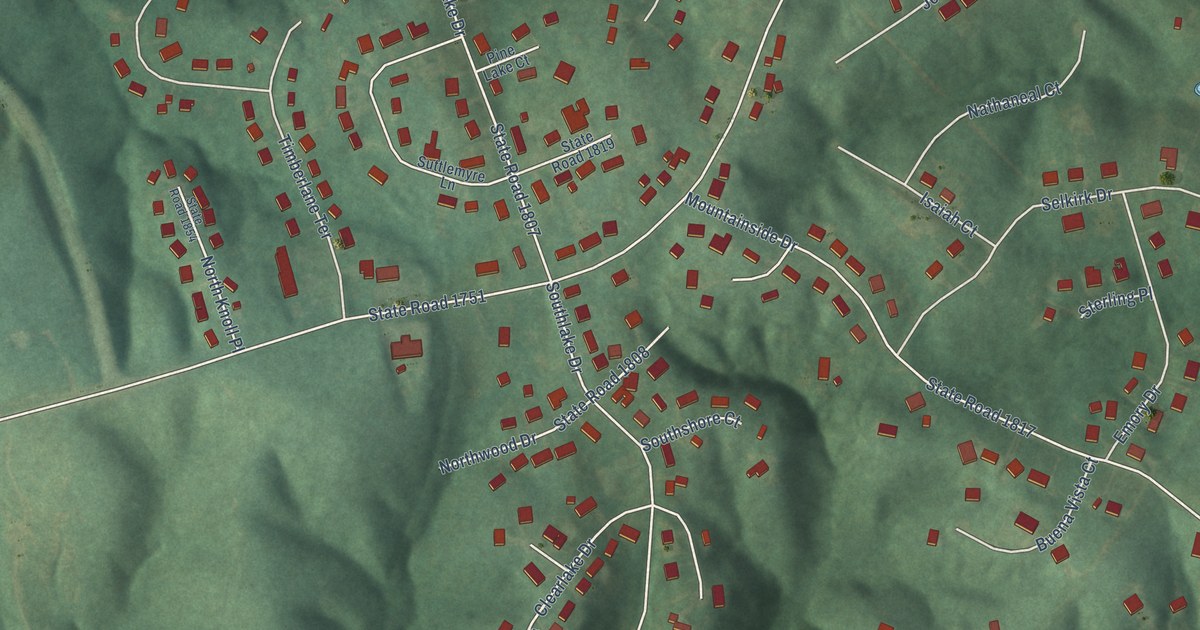
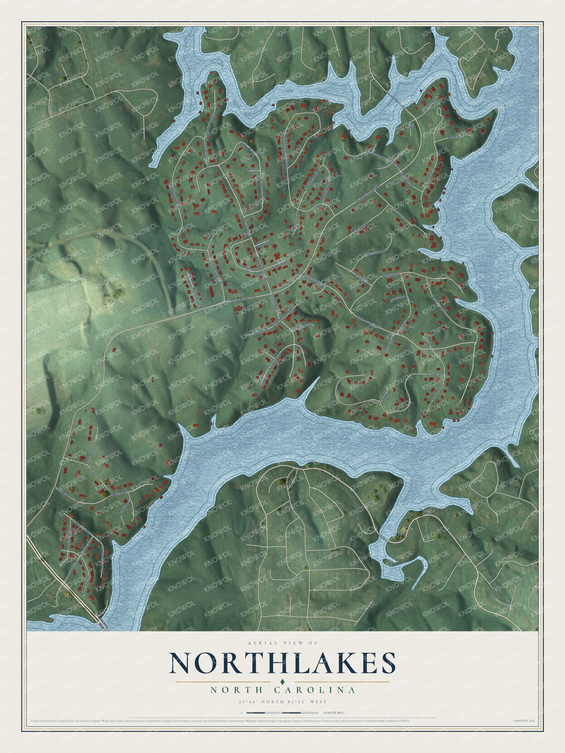
This beautifully detailed map of Northlakes, North Carolina was created in 2026 using aerial imagery combined with modern topographical, census, street and landmark data. It's a modern aerial view of Northlakes in Caldwell County, North Carolina, that combines modern data with a vintage aesthetic. The roads feature printed names, and if you look closely you can find your exact house accurately shown in its correct location.
Explore an aerial view of Northlakes, North Carolina
On this map you'll find Grace Chapel Road, State Road 1751, Mountainside Drive, State Road 1817, Gold Creek Estate Drive, State Road 1807, Crown Terrace, State Road 1832, Gunpowder Drive, Northlake Drive, Selkirk Drive, Flintlock Court, and more. Each red shape is a building, so zoom in on the preview and look for yours.
Northlakes is a community in Caldwell County. The Census Bureau counted 1,543 people here in 2020. The map prints the town name in its title panel, with the coordinates below it.
Take a closer look at the Northlakes map
Names on this map
These names are printed on this map.
Streets and roads: Grace Chapel Road, State Road 1751, Mountainside Drive, State Road 1817, Gold Creek Estate Drive, State Road 1807, Crown Terrace, State Road 1832, Gunpowder Drive, Northlake Drive, Selkirk Drive, Flintlock Court.
More street names, A to Z
Anna Belle Lane, Ashley Court, Buckskin Drive, Buena Vista Court, Clearlake Drive, Dockside Drive, Emory Drive, Gold Creek Bay, Grace Drive, Hickory Boulevard, Isaiah Court, Jeremiah Court, Lago Court, Lake Hickory Place, Lake Park Drive, Lake Shore Drive, Lakeview Terrace, Longview Lane, Monte Carlo Lane, Musket Drive, Nathaneal Court, Norcross Lane, North Knoll Place, Northview Drive, Northwood Drive, Pine Lake Court, Pineview Court, Powder Point Drive, Riviera Run Estates Drive, Seagull Lane, Southlake Drive, Southshore Court, State Road 1759, State Road 1760, State Road 1777, State Road 1808, State Road 1814, State Road 1819, State Road 1833, State Road 1854, Sterling Place, Suttlemyre Lane, Timberlane Terrace, Valley Run Court, Valley Run Street, Venice Court, Waterfront Drive, Wolfe Road, Yacht Place.
See it on a wall
The Northlakes map as a framed print. Swipe for more.


Created by KNOWOL in 2026. The buildings are small red shapes, the roads carry their printed names, and shaded relief shows the shape of the land. The title panel reads "AERIAL VIEW OF NORTHLAKES, NORTH CAROLINA" with 35°46' NORTH 81°22' WEST.
It looks right in a kitchen, an office or a den, and it's a gift for anyone who grew up in Northlakes or moved away. Open the preview and find your street. See sizes and frames for the Northlakes map.