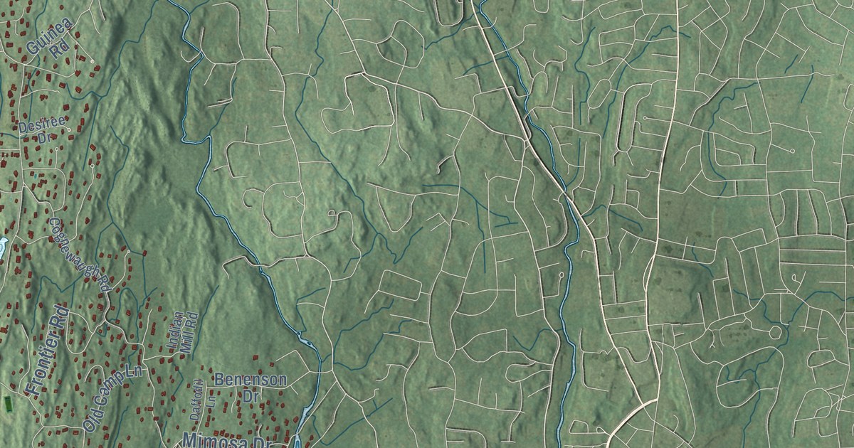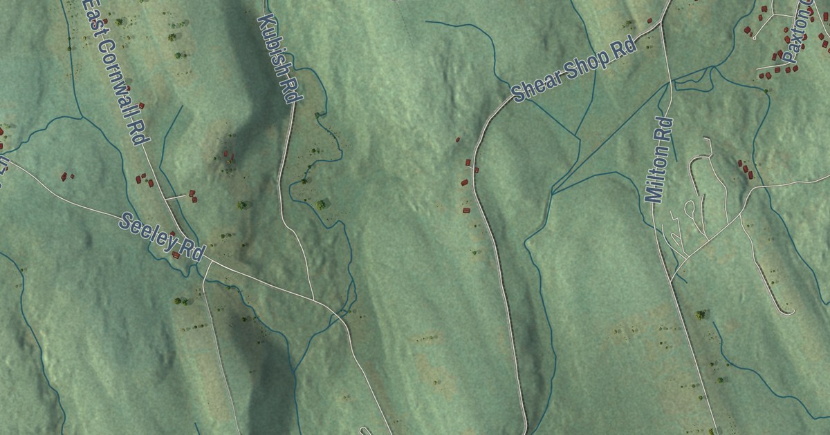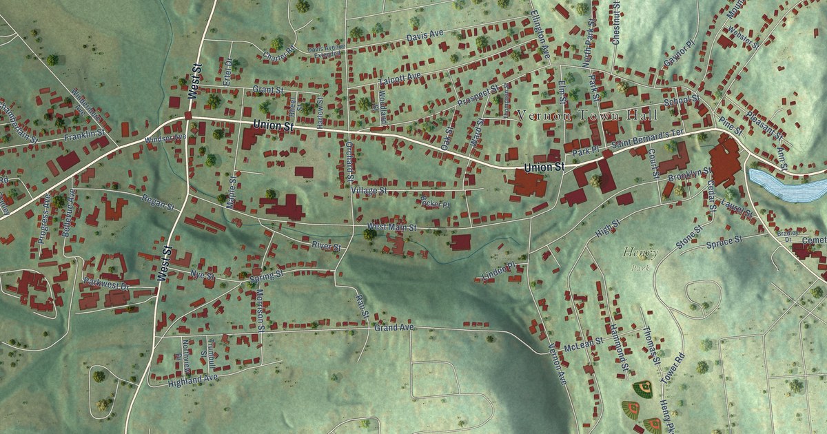
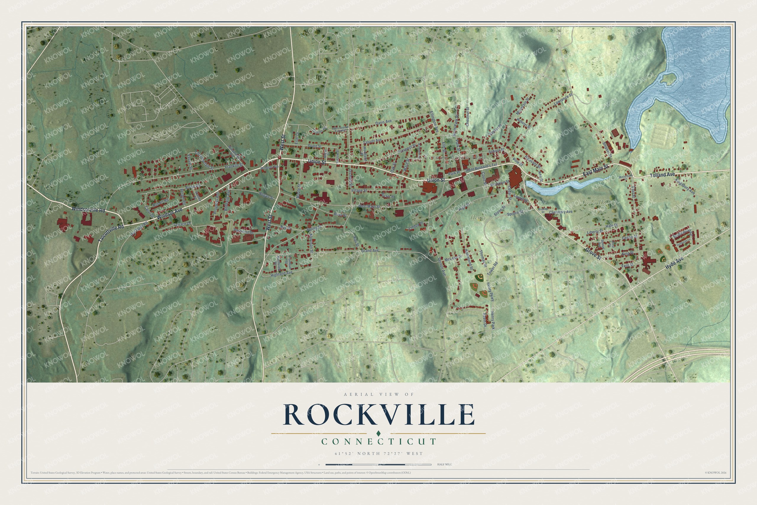
This beautifully detailed map of Rockville, Connecticut was created in 2026 using aerial imagery combined with modern topographical, census, street and landmark data. It's a modern aerial view of Rockville in Capitol Planning Region, Connecticut, that combines modern data with a vintage aesthetic. The roads feature printed names, and if you look closely you can find your exact house accurately shown in its correct location.
Explore an aerial view of Rockville, Connecticut
On this map you'll find Vernon Town Hall, Grove Hill Cemetery, Henry Park, East Main Street, Tolland Avenue, Windsorville Road, Talcottville Road, Union Street, West Street, Windsor Avenue, Hyde Avenue, Grove Street, and more. Each red shape is a building, so zoom in on the preview and look for yours.
Rockville is a community in Capitol Planning Region. The Census Bureau counted 7,920 people here in 2020. Rockville sits about 6 miles southeast of Broad Brook, 6 miles southwest of Crystal Lake and 7 miles northeast of Manchester. The map prints the town name in its title panel, with the coordinates below it.
Take a closer look at the Rockville map
Names on this map
These names are printed on this map.
Places: Vernon Town Hall, Grove Hill Cemetery and Henry Park.
Streets and roads: East Main Street, Tolland Avenue, Windsorville Road, Talcottville Road, Union Street, West Street, Windsor Avenue, Hyde Avenue, Grove Street, East Street, Tower Road, Stone Street.
More street names, A to Z
Ann Street, Becker Place, Bellevue Avenue, Berger Road, Bradley Drive, Bridlewood Lane, Brooklyn Street, Burke Road, Carol Drive, Cedar Street, Cemetery Avenue, Center Street, Chamberlain Street, Charter Road, Chestnut Street, Court Street, Davis Avenue, Davis Avenue Extended, Ellington Avenue, Elm Street, Ertel Drive, Fern Street, First Street, Franklin Street, Gaynor Place, Grand Avenue, Grant Street, Hale Street, Hammond Street, Harlow Street, Henry Parkway, Highland Avenue, High Street, Kevin Drive, Kingsbury Avenue, King Street, Laurel Street, Lawrence Street, Liberty Street, Linden Place, Maple Street, McLean Street, Minterburn Court, Morrison Street, Mountain Street, North Park Street, Northview Drive, Nye Street, Oak Street, Old Town Road, Orchard Street, Park Place, Park Street, Parkwest Drive, Pine Street, Pleasant Street, Progress Avenue, Prospect Street, Rau Street, Regan Street, Rheel Street, River Street, Robert Road, Saddlegate Lane, Saint Bernard's Terrace, School Street, Snipsic Street, Spring Street, Spruce Street, Stanley Street, Sunset Avenue, Talcott Avenue, Terrace Drive, Thomas Street, Thompson Street, Trumbull Street, Vassar Street, Vernon Avenue, Village Street, Ward Street, Webster Street, West Main Street, Windermere Avenue, Woodland Street.
See it on a wall
The Rockville map as a framed print. Swipe for more.


Created by KNOWOL in 2026. The buildings are small red shapes, the roads carry their printed names, and shaded relief shows the shape of the land. The title panel reads "AERIAL VIEW OF ROCKVILLE, CONNECTICUT" with 41°52' NORTH 72°27' WEST.
It suits a den, a classroom or a front hall, and it makes a gift for anyone with Rockville roots. Open the preview and find the block you know. See sizes and frames for the Rockville map.