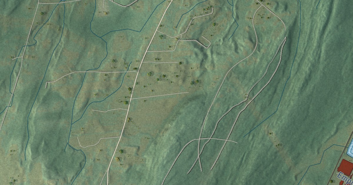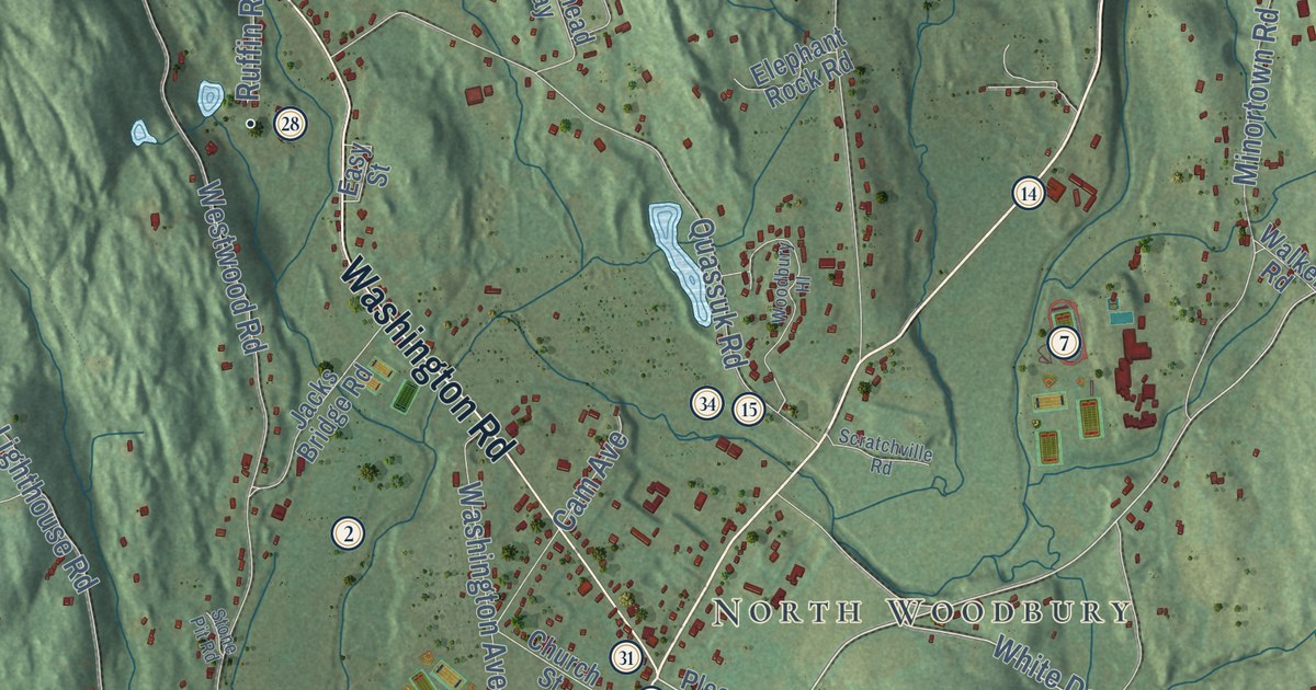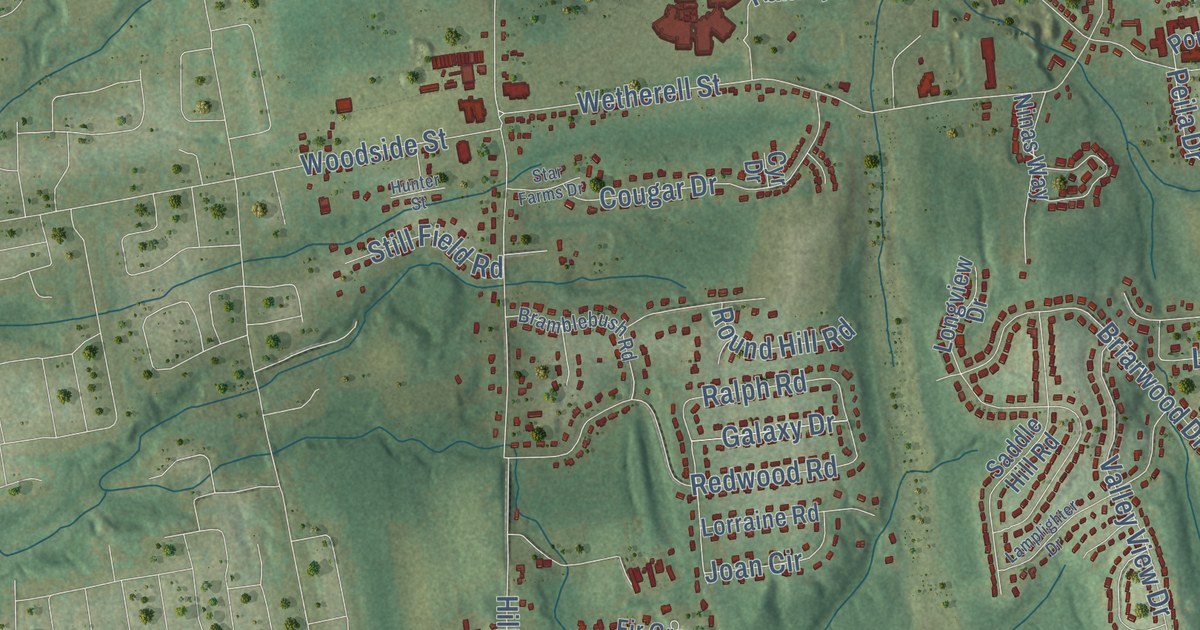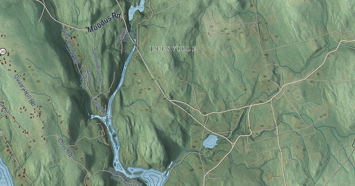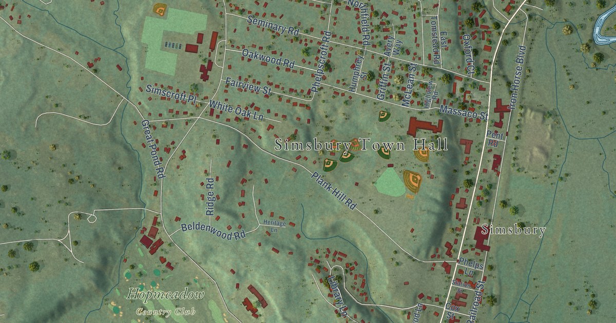
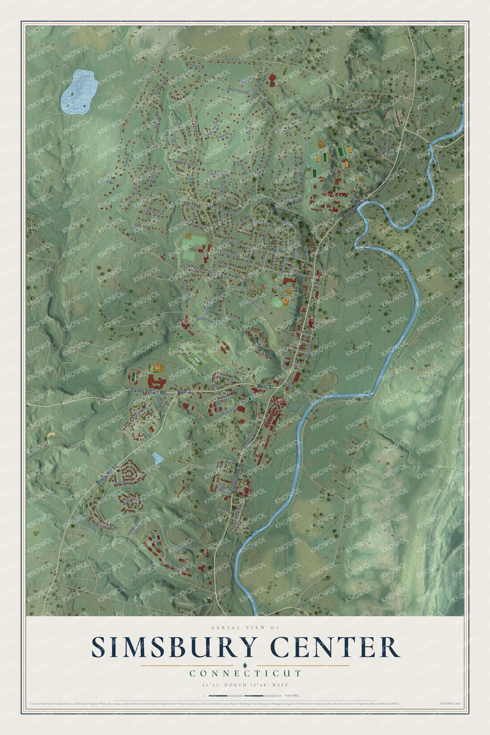
This beautifully detailed map of Simsbury Center, Connecticut was created in 2026 using aerial imagery combined with modern topographical, census, street and landmark data. It's a modern aerial view of Simsbury Center in Capitol Planning Region, Connecticut, that combines modern data with a vintage aesthetic. The roads feature printed names, and if you look closely you can find your exact house accurately shown in its correct location.
Explore an aerial view of Simsbury Center, Connecticut
On this map you'll find Simsbury Town Hall, Pine Hill, Simsbury, Hopmeadow Country Club, Hopmeadow Street, Bushy Hill Road, West Street, Farms Village Road, Powder Forest Drive, Highcroft Place, Carson Way, Railroad Street, and more. Each red shape is a building, so zoom in on the preview and look for yours.
Simsbury Center is a community in Capitol Planning Region. The Census Bureau counted 6,268 people here in 2020. Simsbury Center sits about 2 miles east of West Simsbury, 3 miles northeast of Weatogue and 3 miles southwest of Tariffville. The map prints the town name in its title panel, with the coordinates below it.
Take a closer look at the Simsbury Center map
Names on this map
These names are printed on this map.
Places: Simsbury Town Hall, Pine Hill, Simsbury and Hopmeadow Country Club.
Streets and roads: Hopmeadow Street, Bushy Hill Road, West Street, Farms Village Road, Powder Forest Drive, Highcroft Place, Carson Way, Railroad Street, Grist Mill Road, Firetown Road, Hoskins Road, Owens Brook Boulevard.
More street names, A to Z
Alder Road, Ashton Circle, Avery Way, Bantry Road, Barnard Drive, Barry Lane, Beldenwood Road, Bickford Street, Branch Brook Drive, Brighton Lane, Buttonwood Drive, Candlewood Court, Carver Circle, Chriswell Drive, Cornfield Road, Cox Street, Crestwood Road, Deepwood Road, Dominique Lane, Drake Hill Road, Eaglewood Lane, East Tomstead Road, Echo Lane, Elaine Drive, Elliott Drive, Fairview Street, Flintlock Ridge, Great Pond Road, Gregory Lane, Gretel Lane, Griffin Street, Grimes Brook Place, Hawks Lane, Hazelmeadow Place, Heritage Lane, Highview Road, Horseshoe Circle, Humphrey Street, Iron Horse Boulevard, Kerr Farm Road, Laurel Lane, Library Lane, Lionel Drive, Mall Way, Maple Court, Massaco Street, McLean Street, Michael Road, Mill Pond Lane, Musket Trail, Newbury Court, Northfield Road, Nutmeg Court, Oakwood Road, Old Barge Road, Old Mill Court, Old Mill Lane, Oxford Court, Ox Yoke Drive, Pent Road, Phelpscroft Road, Phelps Lane, Pine Hill Drive, Plank Hill Road, Powder Horn Drive, Richard Road, Ridge Road, Robin Road, Russell Lane, Seminary Road, Simscroft Place, Somerset Lane, Squadron Line Road, Station Street, Stodmor Road, Stratton Brook Road, Stratton Forest Way, The Powder Forest Road, Thornbush Road, Timber Ridge Drive, Village Road, Vincent Drive, Virginia Lane, Weatherly Road, Werk Way, Westwood Drive, White Oak Lane, Wiggins Farm Drive, Winterset Lane, Woodland Street, Woods Lane.
See it on a wall
The Simsbury Center map as a framed print. Swipe for more.


Created by KNOWOL in 2026. The buildings are small red shapes, the roads carry their printed names, and shaded relief shows the shape of the land. The title panel reads "AERIAL VIEW OF SIMSBURY CENTER, CONNECTICUT" with 41°53' NORTH 72°48' WEST.
It suits a den, a classroom or a front hall, and it makes a gift for anyone with Simsbury Center roots. Open the preview and find the block you know. See sizes and frames for the Simsbury Center map.