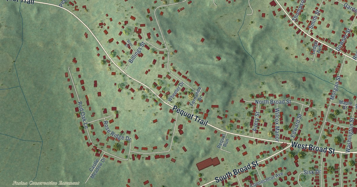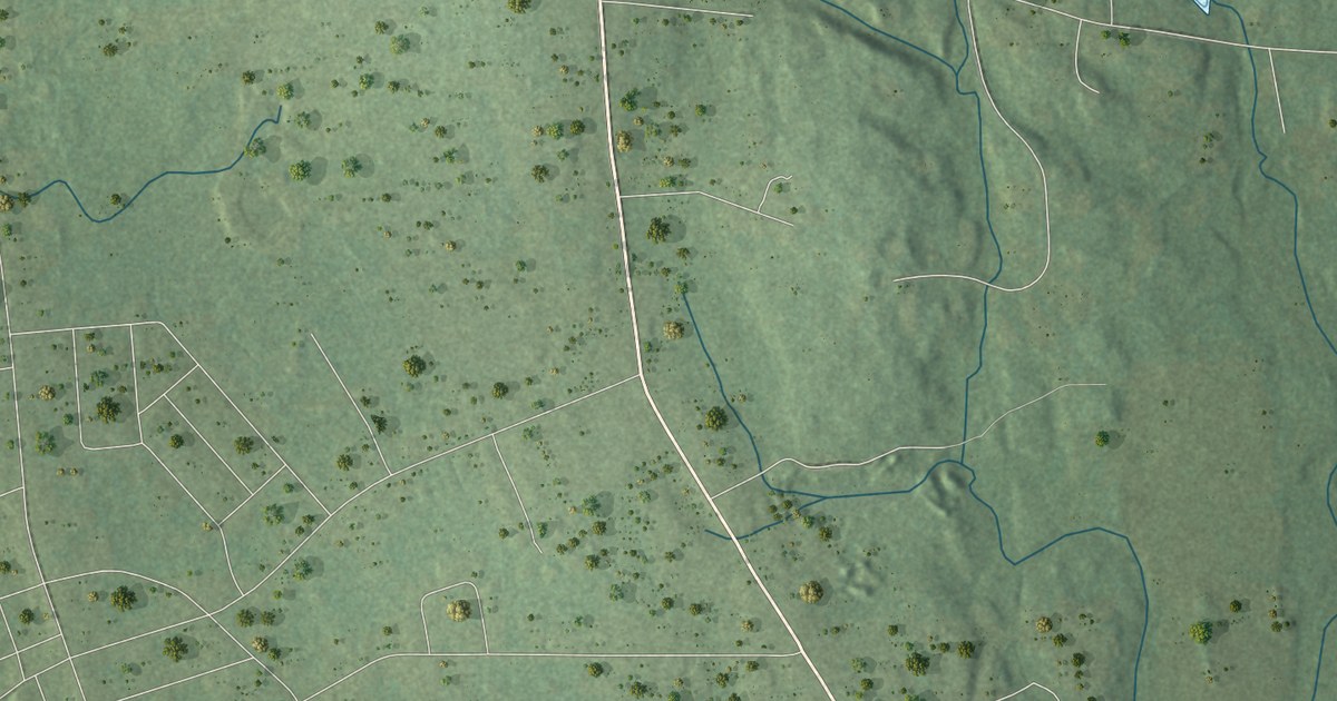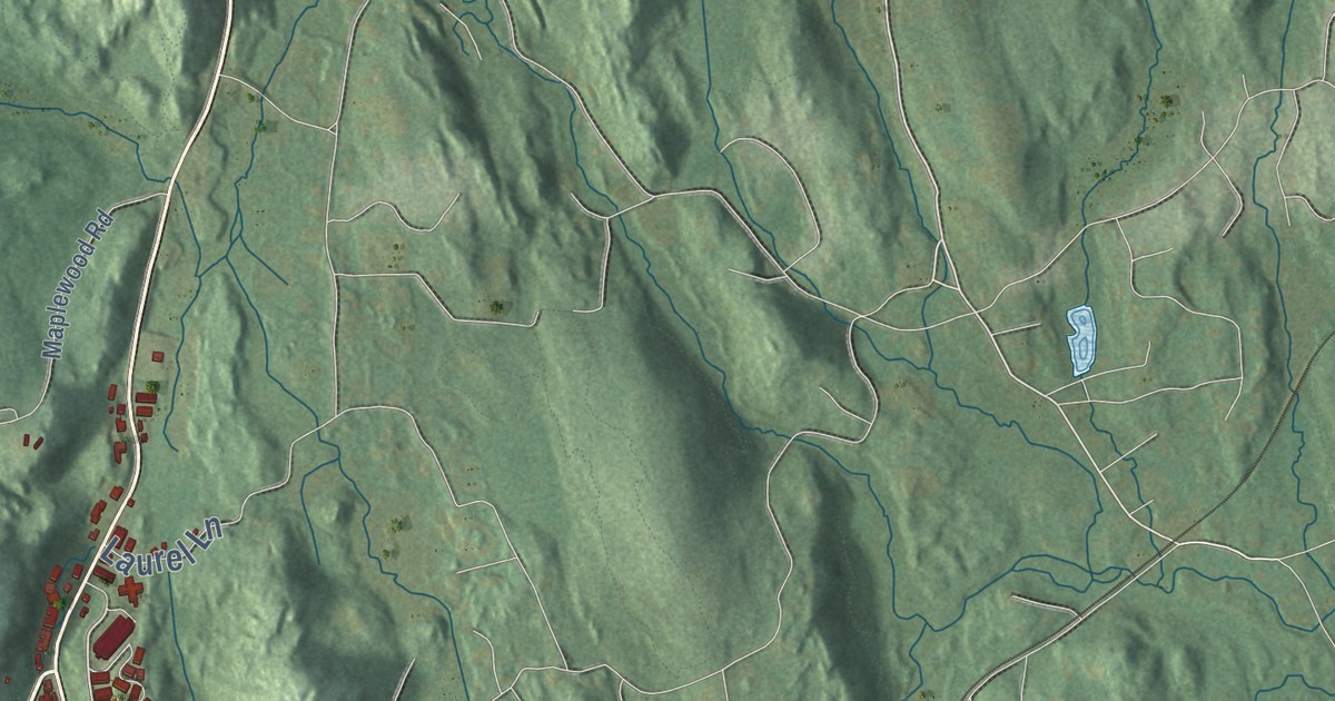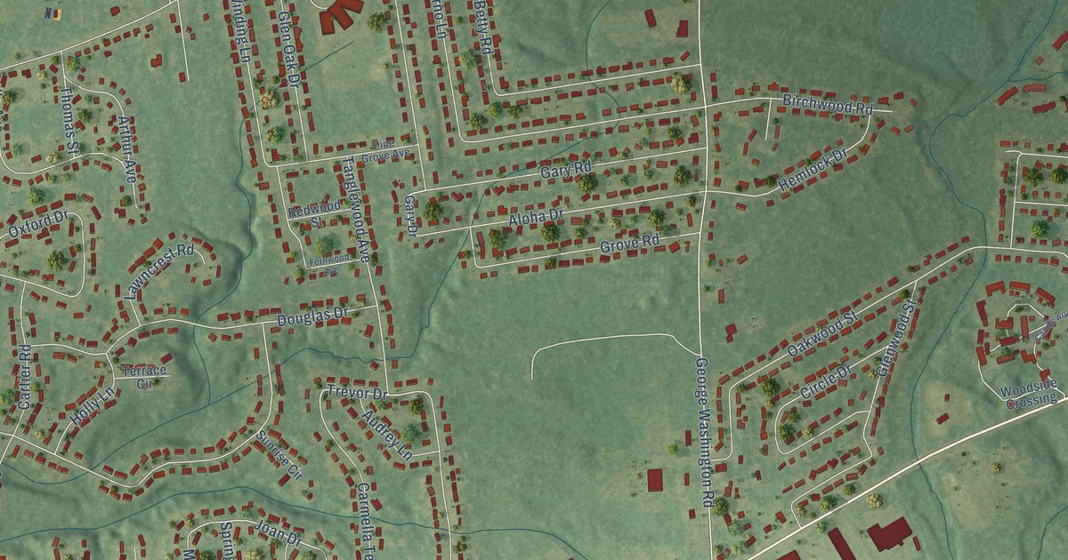
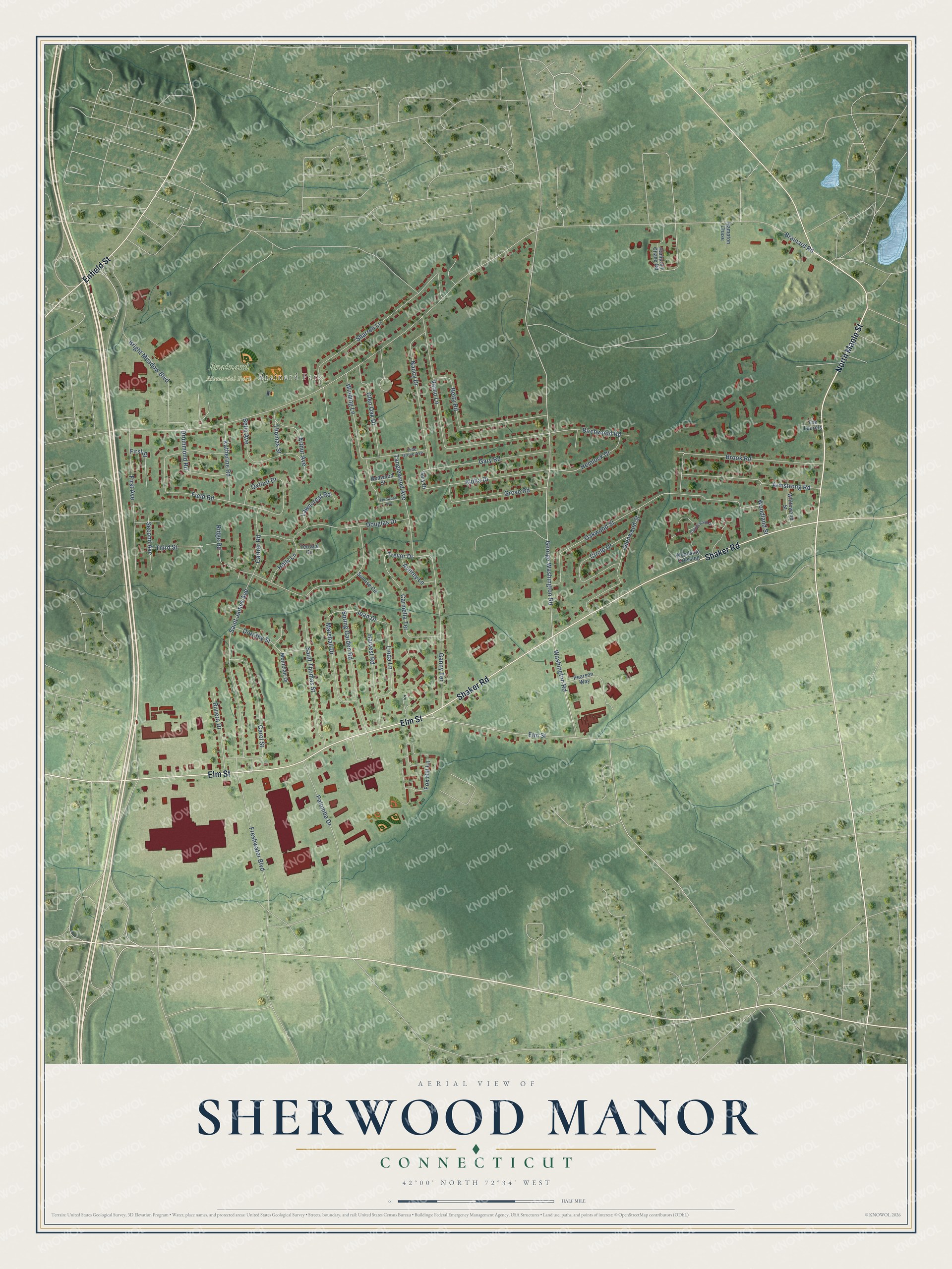
This beautifully detailed map of Sherwood Manor, Connecticut was created in 2026 using aerial imagery combined with modern topographical, census, street and landmark data. It's a modern aerial view of Sherwood Manor in Capitol Planning Region, Connecticut, that combines modern data with a vintage aesthetic. The roads feature printed names, and if you look closely you can find your exact house accurately shown in its correct location.
Explore an aerial view of Sherwood Manor, Connecticut
On this map you'll find Brainerd Park, Brainard Memorial Park, North Maple Street, Shaker Road, Elm Street, Enfield Street, Trevor Drive, Joan Drive, Brainard Road, George Washington Road, Washington Road, Oakwood Street, and more. Each red shape is a building, so zoom in on the preview and look for yours.
Sherwood Manor is a community in Capitol Planning Region. The Census Bureau counted 5,372 people here in 2020. Sherwood Manor sits about 2 miles northeast of Thompsonville, 2 miles northwest of Hazardville and 4 miles north of Southwood Acres. The map prints the town name in its title panel, with the coordinates below it.
Take a closer look at the Sherwood Manor map
Names on this map
These names are printed on this map.
Places: Brainerd Park and Brainard Memorial Park.
Streets and roads: North Maple Street, Shaker Road, Elm Street, Enfield Street, Trevor Drive, Joan Drive, Brainard Road, George Washington Road, Washington Road, Oakwood Street, Varno Lane, Ridge Road.
More street names, A to Z
Aloha Drive, Armstrong Road, Arthur Avenue, Audrey Lane, Belle Avenue, Betty Road, Birchwood Road, Bright Meadow Boulevard, Brook Road, Candlewood Drive, Carmella Terrace, Carol Street, Cartier Road, Circle Drive, Dorothy Street, Douglas Drive, Drummond Road, Fernwood Avenue, Field Road, First Avenue, First Street, Fox Hill Lane, Freshwater Boulevard, Ganny Terrace, Gary Drive, Gary Road, Glen Oak Drive, Glenwood Street, Grove Road, Hampton Chase, Hampton Chase Road, Harvest Road, Hemlock Drive, Holly Lane, Katherine Road, Lawncrest Road, Linda Lane, Marshall Drive, Montclair Drive, Nancy Drive, Oxford Drive, Palomba Drive, Pearson Way, Pine Grove Avenue, Redwood Street, Riviera Drive, Saint James Avenue, Saint Thomas Street, Second Avenue, Sharren Lane, Spring Garden Road, Sunrise Circle, Tanglewood Avenue, Terrace Circle, The Laurels, Third Street, Thomas Street, Whitewood Street, Winding Lane, Woodland Street, Woodside Crossing.
See it on a wall
The Sherwood Manor map as a framed print. Swipe for more.


Created by KNOWOL in 2026. The buildings are small red shapes, the roads carry their printed names, and shaded relief shows the shape of the land. The title panel reads "AERIAL VIEW OF SHERWOOD MANOR, CONNECTICUT" with 42°00' NORTH 72°34' WEST.
It looks right in a kitchen, an office or a den, and it's a gift for anyone who grew up in Sherwood Manor or moved away. Open the preview and find your street. See sizes and frames for the Sherwood Manor map.