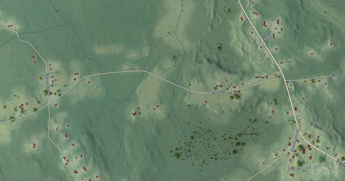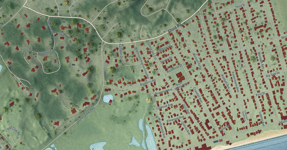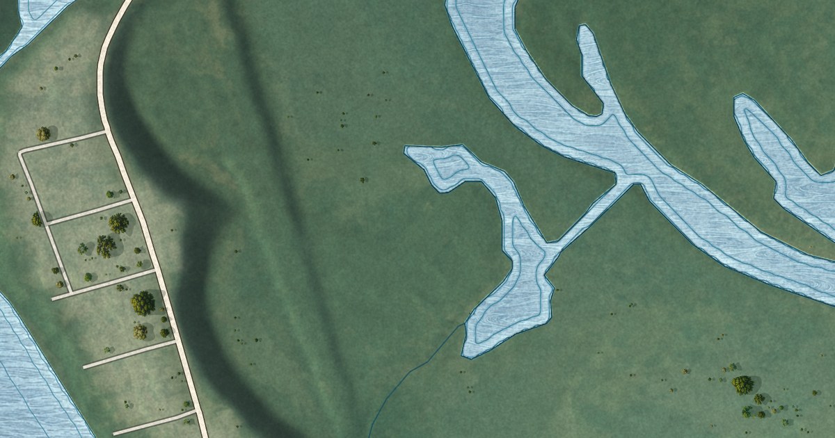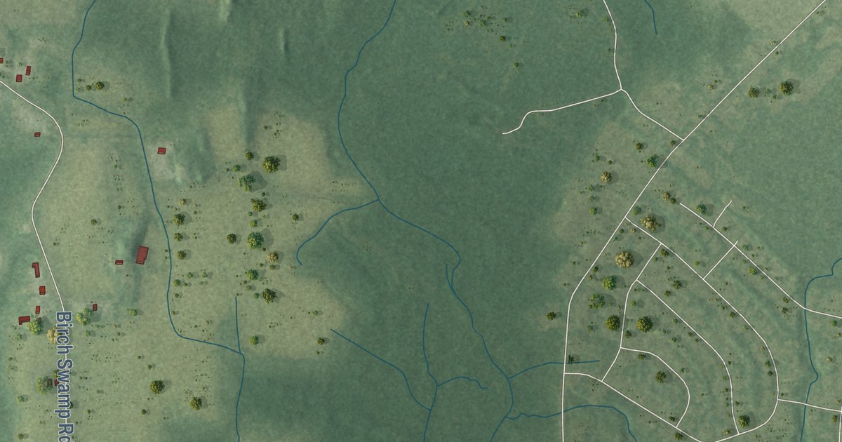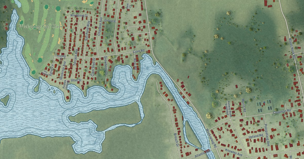
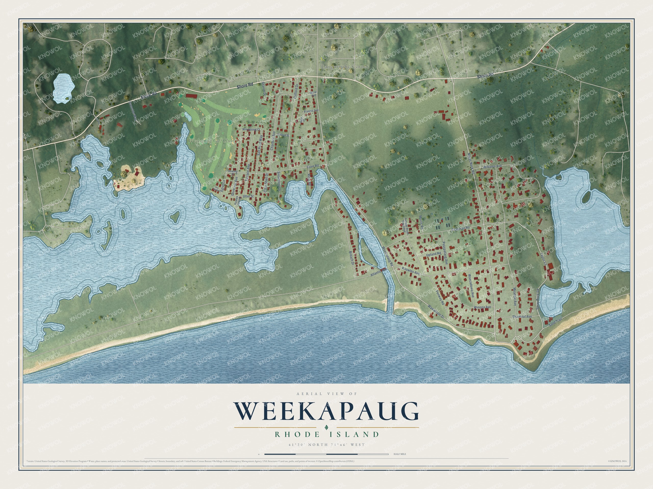
This beautifully detailed map of Weekapaug, Rhode Island was created in 2026 using aerial imagery combined with modern topographical, census, street and landmark data. It's a modern aerial view of Weekapaug in Washington County, Rhode Island, that combines modern data with a vintage aesthetic. The roads feature printed names, and if you look closely you can find your exact house accurately shown in its correct location.
Explore an aerial view of Weekapaug, Rhode Island
On this map you'll find Langworthy Corner, Weekapaug Golf Club, Shore Road, Noyes Neck Road, Wawaloam Drive, Spray Rock Road, Weekapaug Road, Taylor Lane, Meadow Avenue, Chapman Road, Williams Avenue, Knowles Avenue, and more. Each red shape is a building, so zoom in on the preview and look for yours.
Weekapaug is a community in Washington County. The Census Bureau counted 467 people here in 2020. Weekapaug sits about 3 miles west of Quonochontaug, 3 miles southeast of Westerly and 4 miles south of Bradford. The map prints the town name in its title panel, with the coordinates below it.
Take a closer look at the Weekapaug map
Names on this map
These names are printed on this map.
Places: Langworthy Corner and Weekapaug Golf Club.
Streets and roads: Shore Road, Noyes Neck Road, Wawaloam Drive, Spray Rock Road, Weekapaug Road, Taylor Lane, Meadow Avenue, Chapman Road, Williams Avenue, Knowles Avenue, Clifford Drive, Charlene Avenue.
More street names, A to Z
Atlantic Avenue, Breach Drive, Clam Shell Drive, Cove Road, Egret Lane, Fenway Road, Fenway Road Extended, Francis Avenue, Gem Court, Governor Avenue, Grenolds Way, Hoxsey Street, Liberty, Marie Avenue, Morris Road, Oxford Street, Passpataug Avenue, Pirates Island, Ricci Road, Salt Pond Way, Sand Trail, Sea Gull Road, Sharon Drive, Shawmut Avenue, Snowberry Lane, Terrace Avenue, Upland Road, Utter Street, Waxcadowa Avenue, Winnapaug Court, Winona Avenue.
See it on a wall
The Weekapaug map as a framed print. Swipe for more.


Created by KNOWOL in 2026. The buildings are small red shapes, the roads carry their printed names, and shaded relief shows the shape of the land. The title panel reads "AERIAL VIEW OF WEEKAPAUG, RHODE ISLAND" with 41°20' NORTH 71°46' WEST.
It looks right in a kitchen, an office or a den, and it's a gift for anyone who grew up in Weekapaug or moved away. Open the preview and find your street. See sizes and frames for the Weekapaug map.