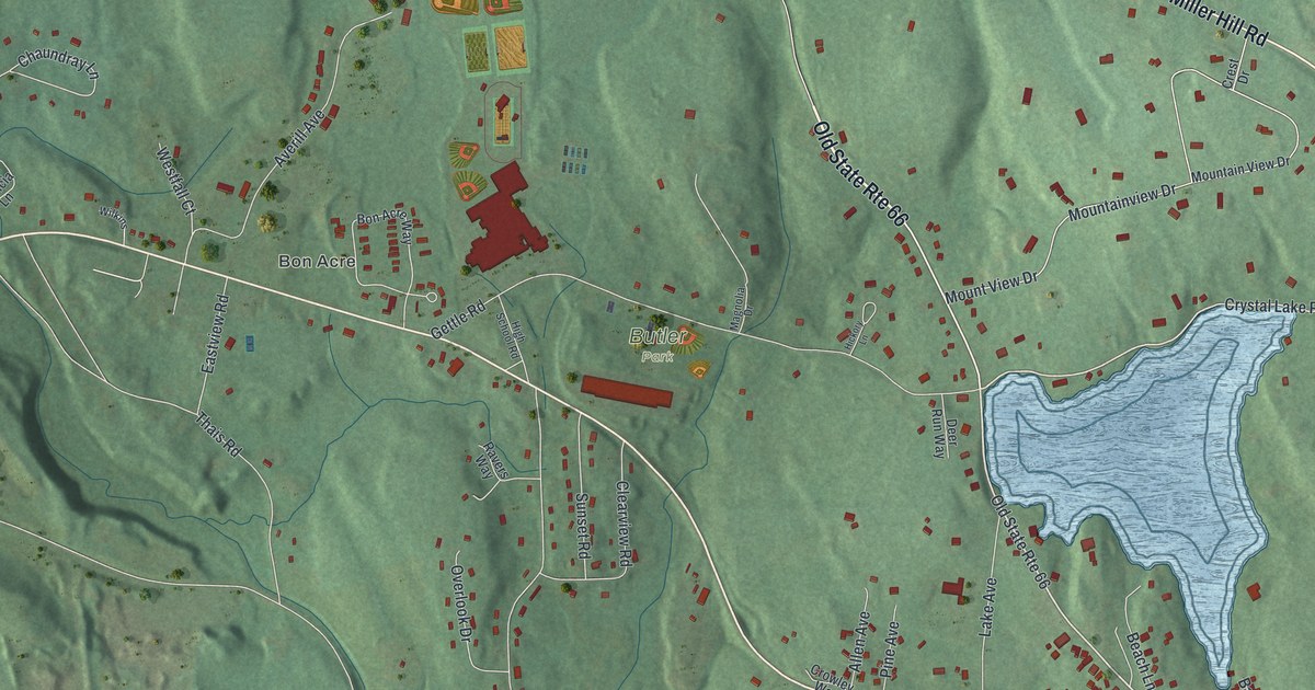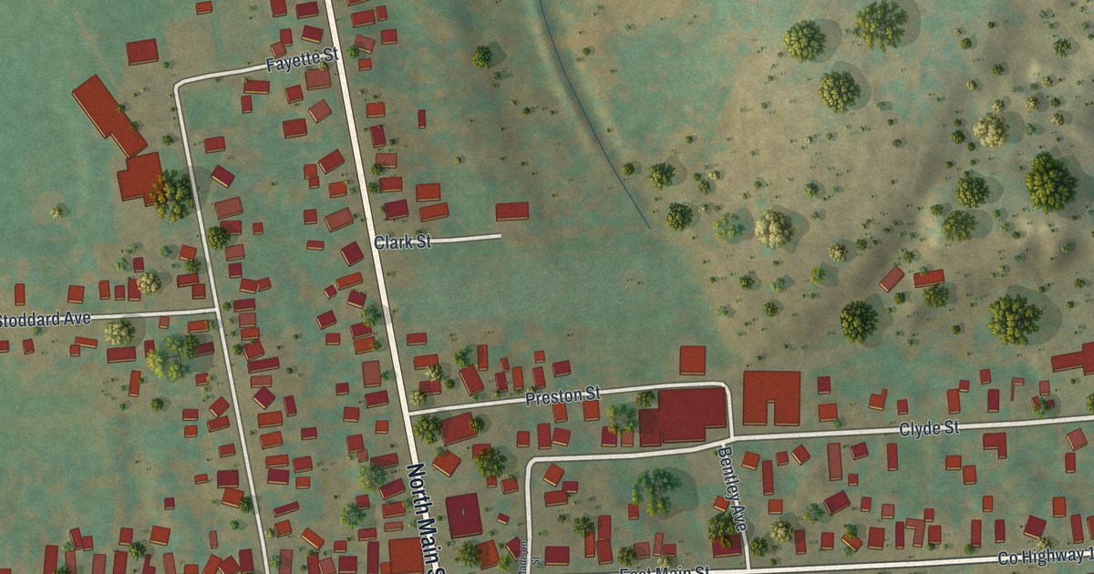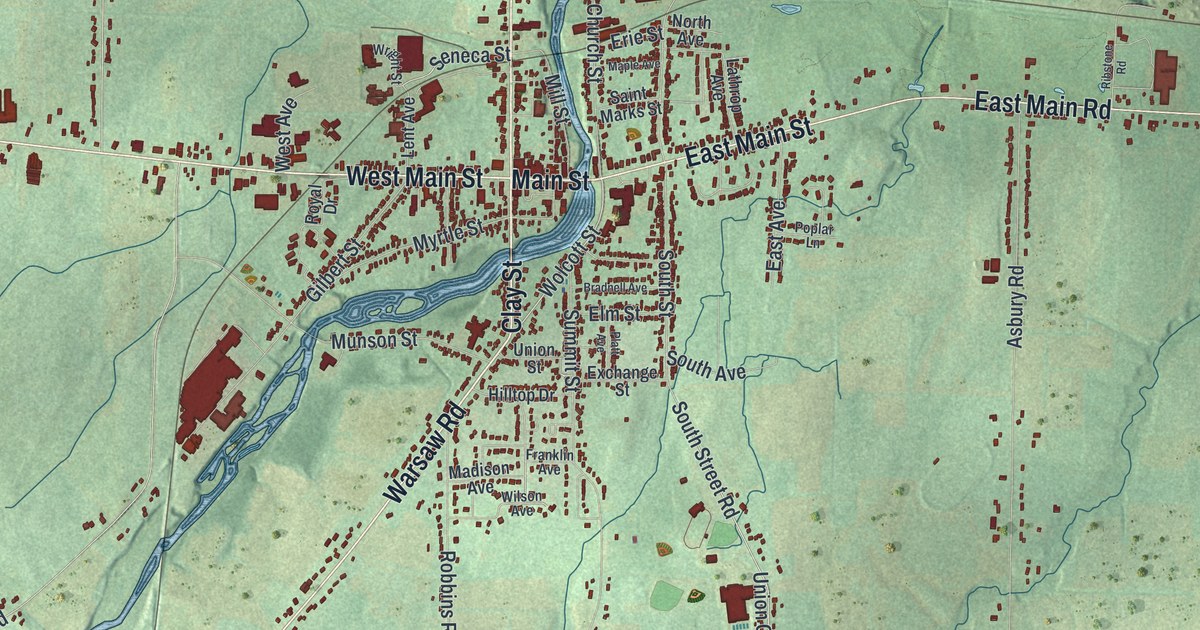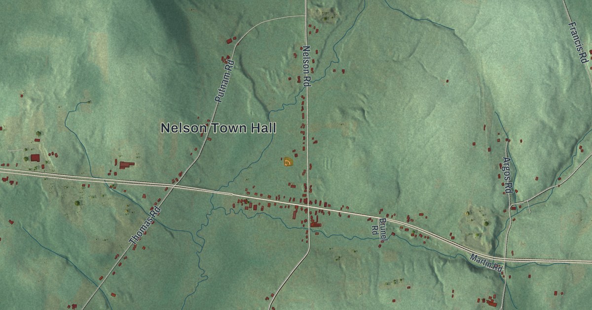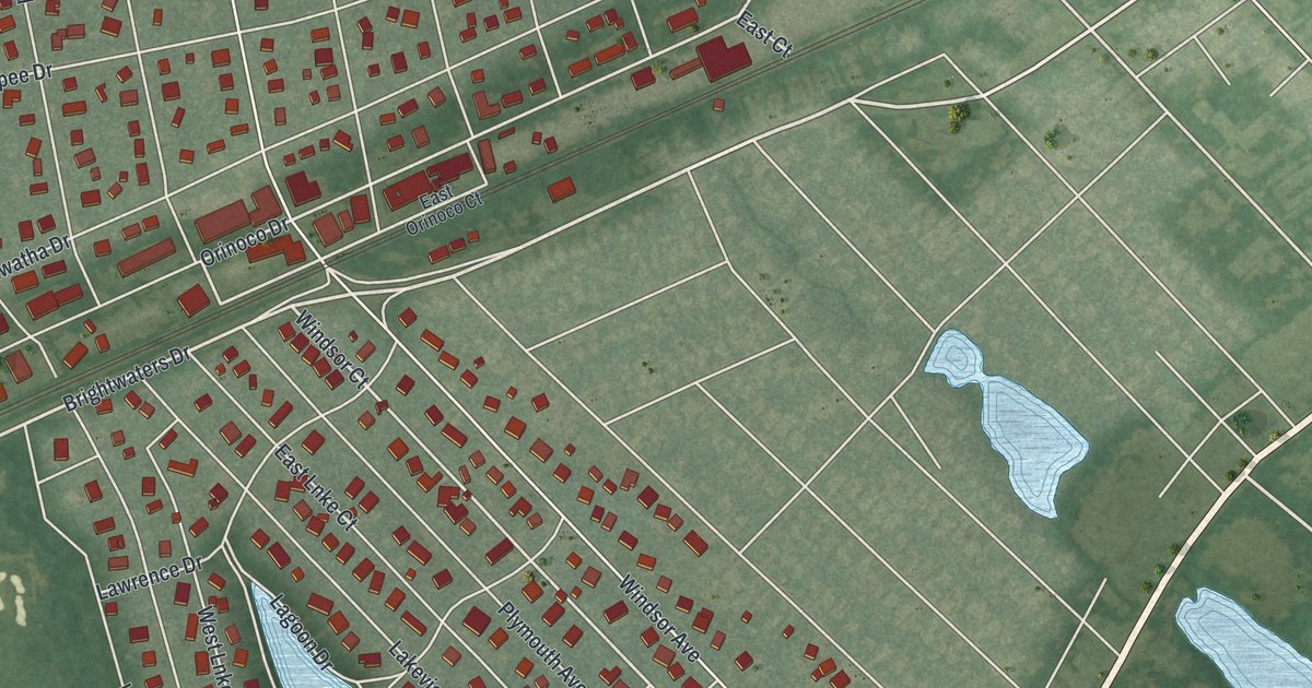
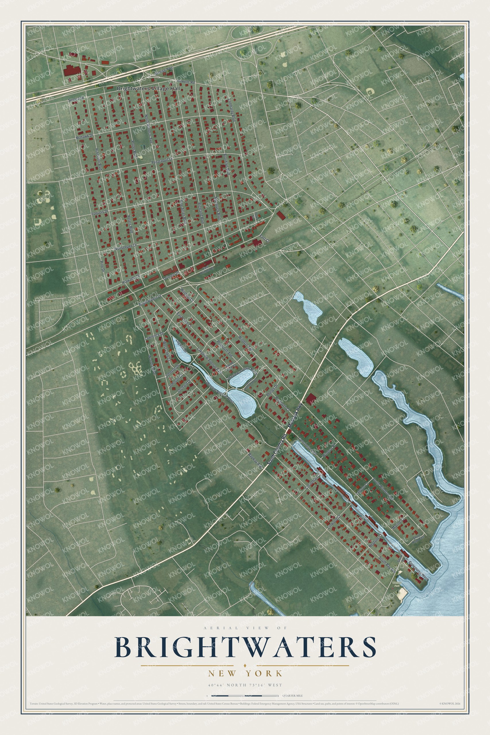
This beautifully detailed map of Brightwaters, New York was created in 2026 using aerial imagery combined with modern topographical, census, street and landmark data. It’s a one-of-a-kind view of Brightwaters that combines accurate data with a vintage aesthetic. The map shows every building in its true location, many of the roads carry their names, and the shaded topographic relief shows the shape of the land.
Explore an aerial view of Brightwaters, New York
On the map you’ll find Brightwaters Village Hall and Walker Park, along with Montauk Highway, South Country Road, Brightwaters Drive, Windsor Court, Orinoco Drive, Windsor Avenue, South Windsor Avenue, Woodland Drive, North Windsor Avenue, Bayway Avenue, and more. Brightwaters sits about 2 miles northeast of West Islip, 3 miles west of Islip and 3 miles southeast of Baywood. If you look closely you can even find your house accurately drawn in its correct location. Zoom in on the preview to look for yours.
Did You Know?
Brightwaters got its name from Maude Phelps, the daughter of early landowner Charles E. Phelps. When she saw the sparkling ponds, she said this beautiful spot should be called Brightwaters, and the place has gone by that name since 1880. Developer Thomas Benton Ackerson bought the land in 1907, and one of the lakes he rebuilt, Nosrekca Lake, is his name spelled backward. That's from the Village of Brightwaters.
Take a closer look at the Brightwaters map
Names on this map
These names are printed on this map.
Places: Brightwaters Village Hall and Walker Park.
Streets and roads: Montauk Highway, South Country Road, Brightwaters Drive, Windsor Court, Orinoco Drive, Windsor Avenue, South Windsor Avenue, Woodland Drive, North Windsor Avenue, Bayway Avenue, Ackerson Boulevard, Howells Road.
More street names, A to Z
Brooklyn Boulevard, Concourse East, Concourse West, Corinthian Court, East Court, East Lnke Court, East Orinoco Court, Hiawatha Drive, Iroquois Drive, Johnson Court, Johnson Drive, Lagoon Court, Lagoon Drive, Lakeview Avenue East, Lakeview Avenue North, Lakeview Avenue South, Lakeview Avenue West, Lawrence Drive, Linwood Court, Lombardy Boulevard, Manatuck Boulevard, Marine Court, Mohawk Drive, Neptune Court, North Lnke Court, Oaks Court, Orchard Drive, Penataquit Drive, Peters Boulevard, Phelps Drive, Pine Acres Boulevard, Pine Drive, Plymouth Avenue, Plymouth Court, Potter Boulevard, Richland Boulevard, Seneca Drive, Shore Road, Shore Road East, South Bay Avenue, Sunrise Highway, West Lnke Court, Windsor Place, Wohseepee Drive.
See it on a wall
The Brightwaters map as a framed print. Swipe for more.


This beautifully detailed map of Brightwaters makes an attractive addition to your office, library, or den, and it can even be used to teach children the geography and history of the area. It also makes a great gift for anyone who grew up in Brightwaters or moved away. When you’re done exploring, click here to get your copy of the Brightwaters map.