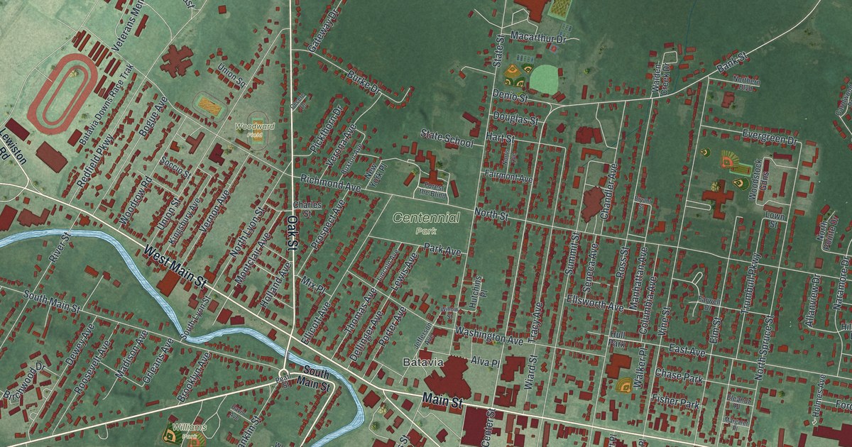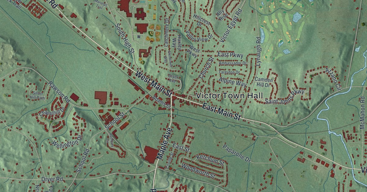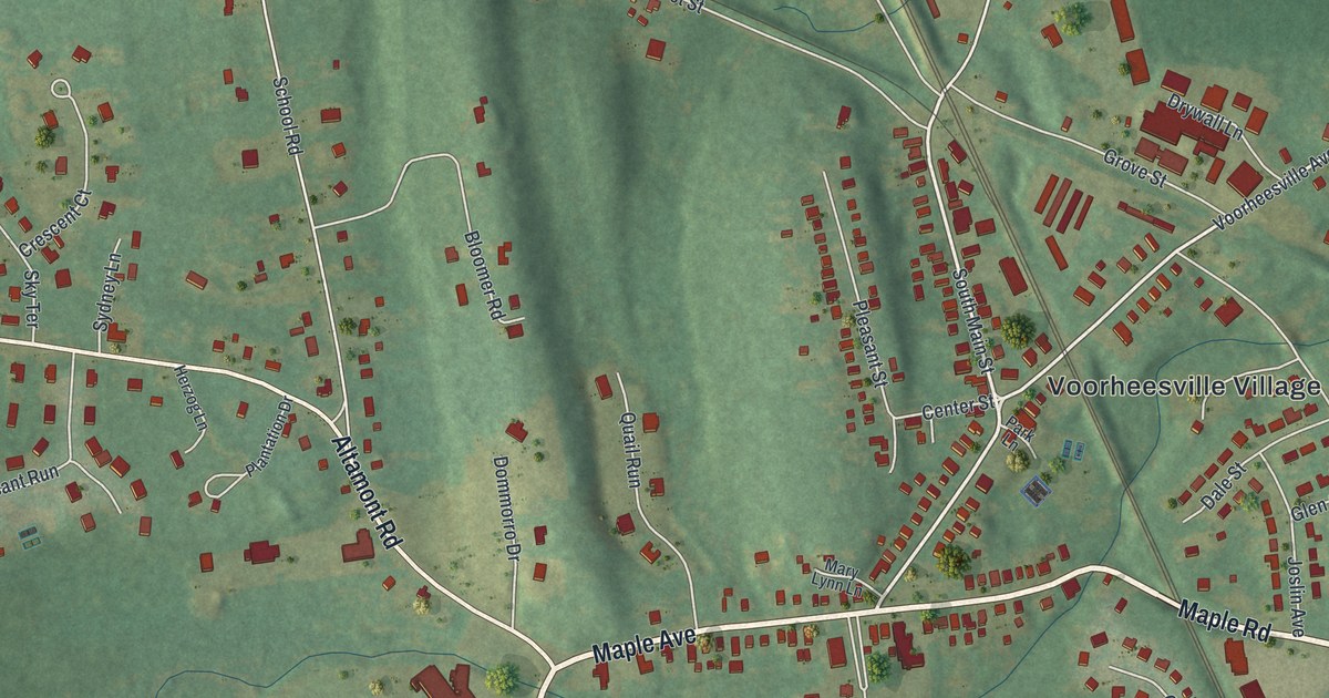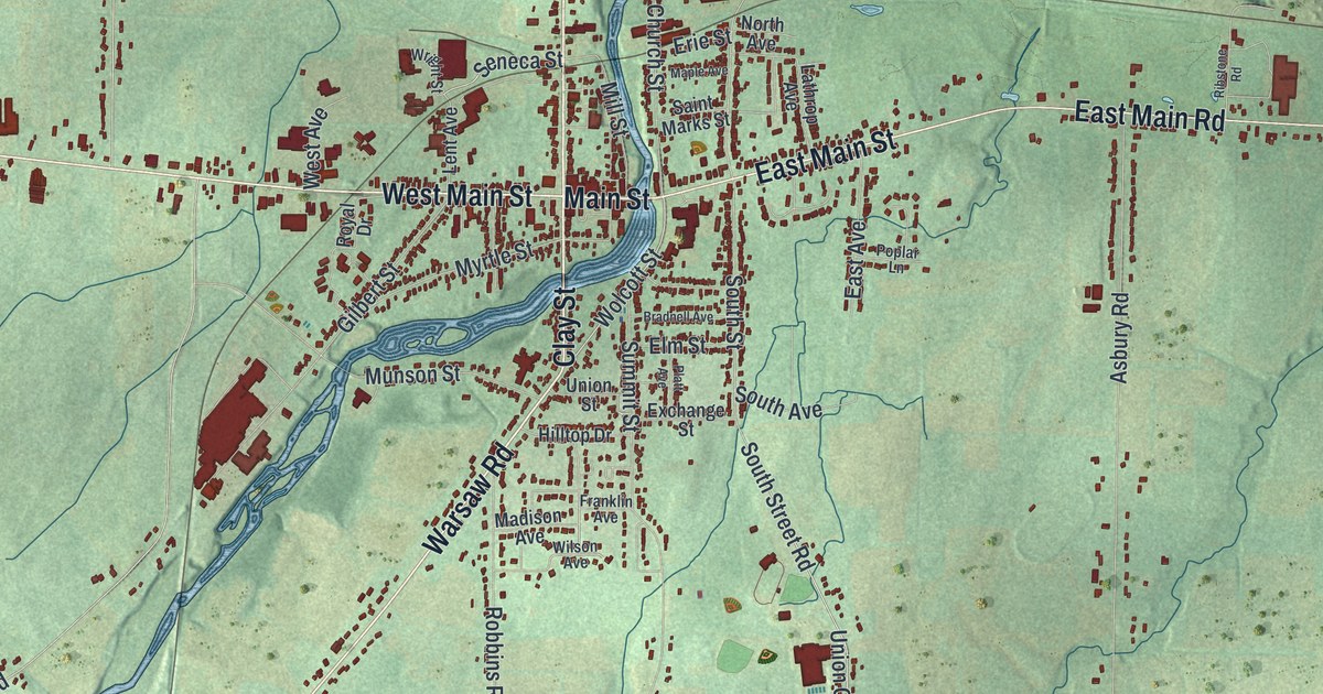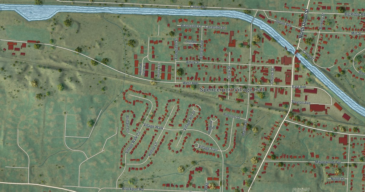
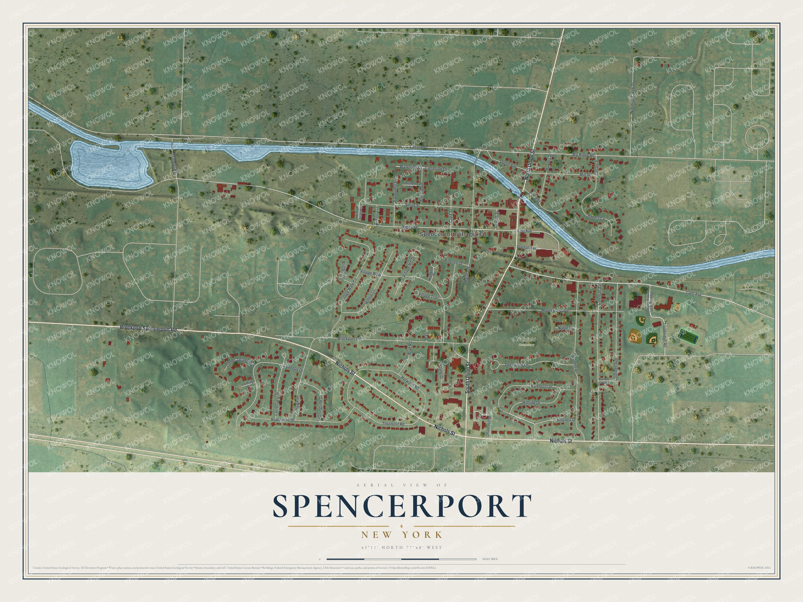
This beautifully detailed map of Spencerport, New York was created in 2026 using aerial imagery combined with modern topographical, census, street and landmark data. It's a modern aerial view of Spencerport in Monroe County, New York, that combines modern data with a vintage aesthetic. The roads feature printed names, and if you look closely you can find your exact house accurately shown in its correct location.
Explore an aerial view of Spencerport, New York
On this map you'll find Spencerport Village Hall, Fairfield Cemetery, Nichols Street, South Union Street, Brockport Spencerport Road, North Union Street, Trowbridge Road, Hillcrest Drive, Union Hill Drive, Lyell Avenue, West Avenue, East Avenue, and more. Each red shape is a building, so zoom in on the preview and look for yours.
Spencerport has a story worth telling. Spencerport began in 1825 as a canal port called Spencer's Basin, on Daniel Spencer's farm in the town of Ogden. When people took to calling it simply the Basin, the village fathers renamed it Spencerport, since the canal already had too many basins. The canal soon made the village a shipping point for lumber, grain and fruit. The Ogden Farmers' Library, founded in a store in 1815, moved to the canal village in 1908, and only three free libraries in the state were older. That's from the Arch Merrill book The Towpath.
Spencerport is a village in Monroe County. The Census Bureau counted 3,685 people here in 2020. Spencerport sits about 5 miles west of North Gates, 5 miles west of Greece and 6 miles west of Gates. The map prints the town name in its title panel, with the coordinates below it.
Take a closer look at the Spencerport map
Names on this map
These names are printed on this map.
Places: Spencerport Village Hall and Fairfield Cemetery.
Streets and roads: Nichols Street, South Union Street, Brockport Spencerport Road, North Union Street, Trowbridge Road, Hillcrest Drive, Union Hill Drive, Lyell Avenue, West Avenue, East Avenue, Waterside Lane, Canal Road.
More street names, A to Z
Amity Street, Ballard Avenue, Barrett Avenue, Bauers Cv, Big Ridge Road, Bowery Street, Brae Road, Brittain Circle, Brockport Road, Canalside Drive, Canal Street, Church Street, Clark Street, Coleman Avenue, Coolidge Avenue, Cottage Street, Coventry Drive, Deerborne Lane, Evergreen Street, Hannah Grace Lane, Harwood Road, Hawthorne Drive, Highview Drive, Hillside Drive, Hilltop Lane, Jessica Lane, Kirkgate Drive, Laurelcrest Drive, Luther Jacobs Way, Maplewood Avenue, Martha Street, Mill Street, Morningside Drive, Nicole Drive, Noble Drive, Northrup Creek Drive, Orchard Road, Parkhurst Drive, Pinecrest Drive, Prkg, Prospect Street, Sableridge Court, Slayton Avenue, Spencerport Central Schools, Thorncliff Road, Trimmer Road, Upton Avenue, Village Hill Drive, Village Trail, Village Walk, Village Walk Circle.
See it on a wall
The Spencerport map as a framed print. Swipe for more.


Created by KNOWOL in 2026. The buildings are small red shapes, the roads carry their printed names, and shaded relief shows the shape of the land. The title panel reads "AERIAL VIEW OF SPENCERPORT, NEW YORK" with 43°11' NORTH 77°48' WEST.
It looks right in a kitchen, an office or a den, and it's a gift for anyone who grew up in Spencerport or moved away. Open the preview and find your street. See sizes and frames for the Spencerport map.