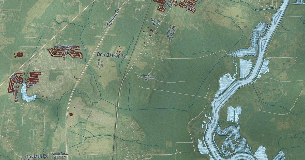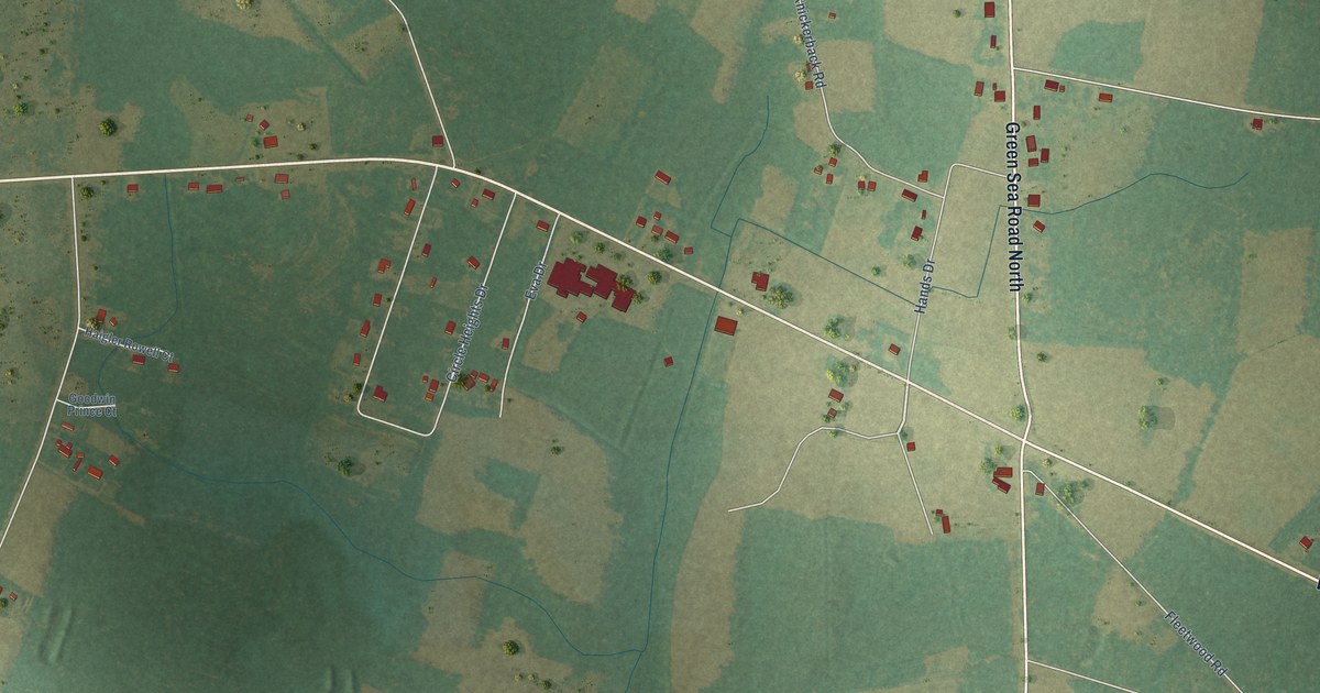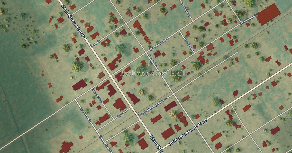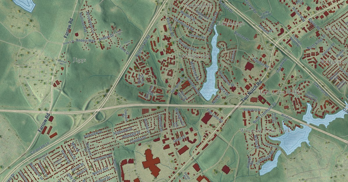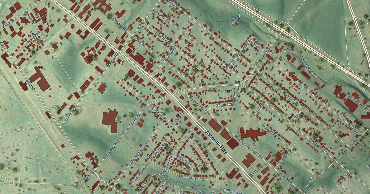
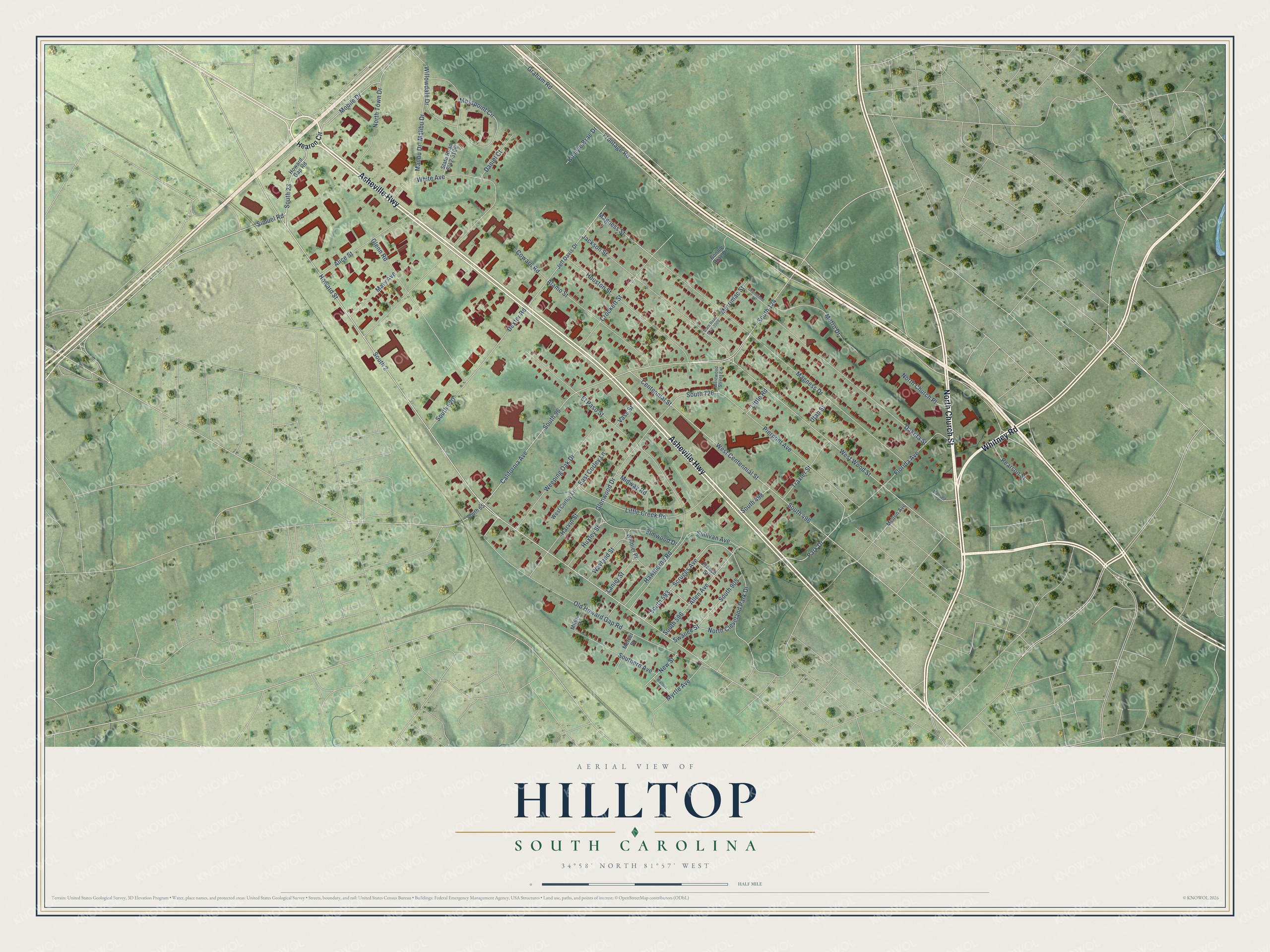
This beautifully detailed map of Hilltop, South Carolina was created in 2026 using aerial imagery combined with modern topographical, census, street and landmark data. It's a modern aerial view of Hilltop in Spartanburg County, South Carolina, that combines modern data with a vintage aesthetic. The roads feature printed names, and if you look closely you can find your exact house accurately shown in its correct location.
Explore an aerial view of Hilltop, South Carolina
On this map you'll find North Church Street, Asheville Highway, Whitney Road, Howard Street, South 2, Simuel Road, South 96, California Avenue, South 124, North Cleveland Park Drive, South 726, Glenwood Drive, and more. Each red shape is a building, so zoom in on the preview and look for yours.
Hilltop is a community in Spartanburg County. The Census Bureau counted 3,273 people here in 2020. Hilltop sits about 2 miles east of Southern Shops, 2 miles west of Whitney and 2 miles northeast of Arcadia. The map prints the town name in its title panel, with the coordinates below it.
Take a closer look at the Hilltop map
Names on this map
These names are printed on this map.
Streets and roads: North Church Street, Asheville Highway, Whitney Road, Howard Street, South 2, Simuel Road, South 96, California Avenue, South 124, North Cleveland Park Drive, South 726, Glenwood Drive.
More street names, A to Z
Alamo Street, Alice Street, Allen Avenue, Bomyie Brae Drive, Bonnie Brae Drive, Centennial Street, Coward Road, Crockett Street, Dakota Street, Daniel Court, Dexter Road, Drummond Street, East Corley Lane, Elmwood Drive, El Paso Street, Florida Avenue, French Street, Frontage Road, Glenn Road, Graham Road, Harvin Street, Hawthorne Road, Hearon Circle, Houston Street, Howard Gap Road, Huxley Street, Jackson Street, Jeff Davis Drive, Lanier Street, Little Creek Road, Little Road, Magness Drive, Magness Street, Mailbu Drive, Malibu Drive, Mandala Lane, Mary Avenue, Melton Avenue, Mercer Street, Merrimac Street, Metro Drive, Midway Road, Milton Street, Mobile Drive, Mosspoint Circle, Myrtle Avenue, New Street, North Church Place, North Town Drive, Old Howard Gap Road, Park Drive, Pearson Street, Pierpont Avenue, Scruggs Avenue, South 23, South 65, South 496, South 498, South 520, South 593, South 596, South 905, Southern Avenue, State Road S-42-2009, State Road S-42-3106, Sullivan Avenue, Swanee Street, Traxler Street, Utah Street, Vass Street, Walters Street, Wayland Street, Weeping Oak Drive, West Centennial Street, West Corley Lane, West Wood Street, Westwood Street Extension, White Avenue, Whittier Place, Willowdale Drive.
See it on a wall
The Hilltop map as a framed print. Swipe for more.


Created by KNOWOL in 2026. The buildings are small red shapes, the roads carry their printed names, and shaded relief shows the shape of the land. The title panel reads "AERIAL VIEW OF HILLTOP, SOUTH CAROLINA" with 34°58' NORTH 81°57' WEST.
Hang it in the hallway, the office or the cabin, or give it to someone who left Hilltop and still calls it home. Open the preview and look for a street you know. See sizes and frames for the Hilltop map.