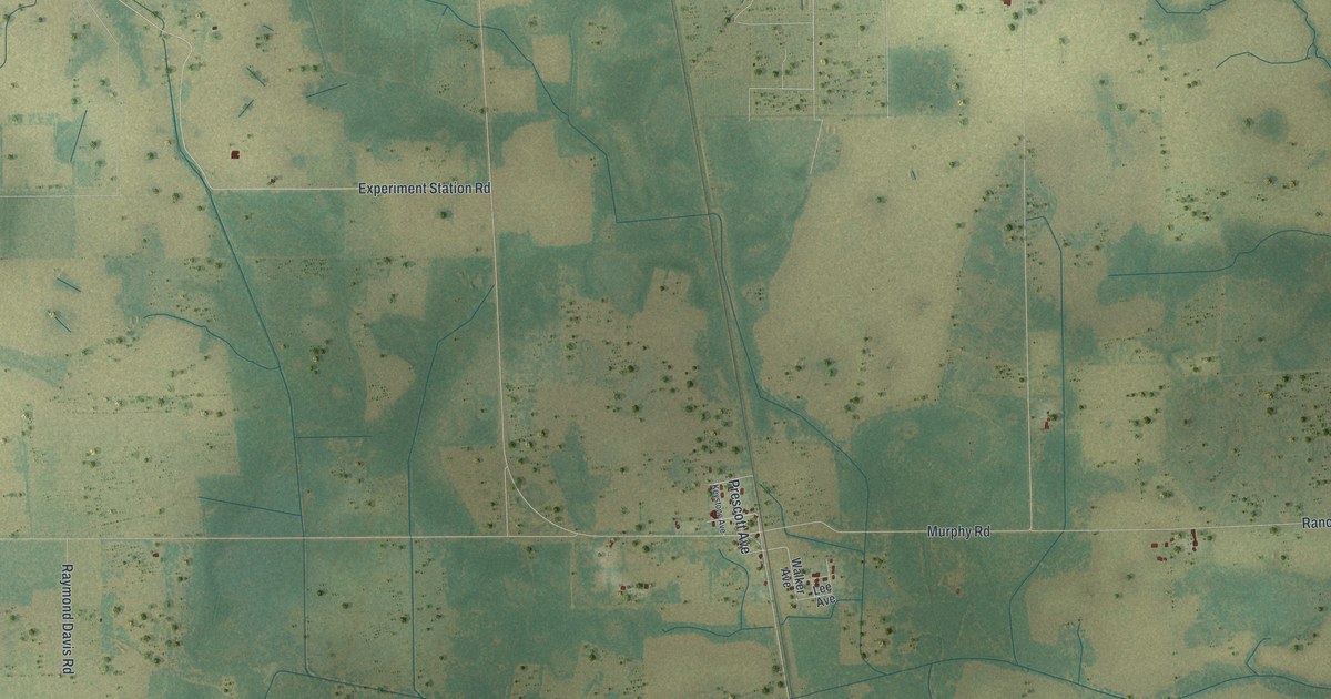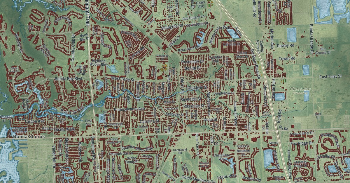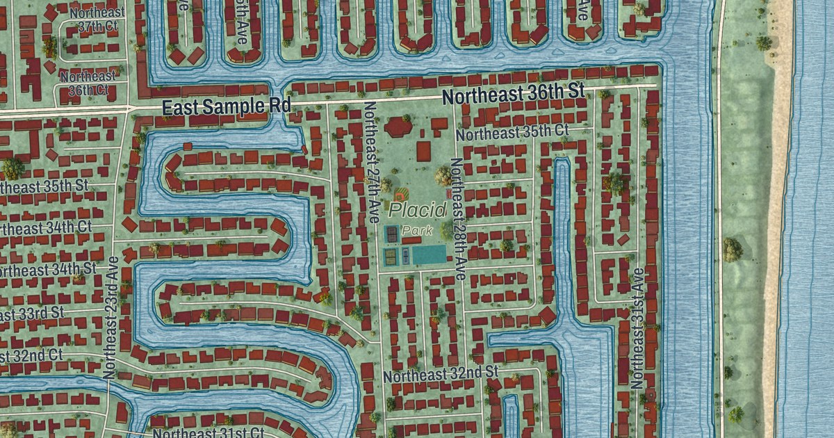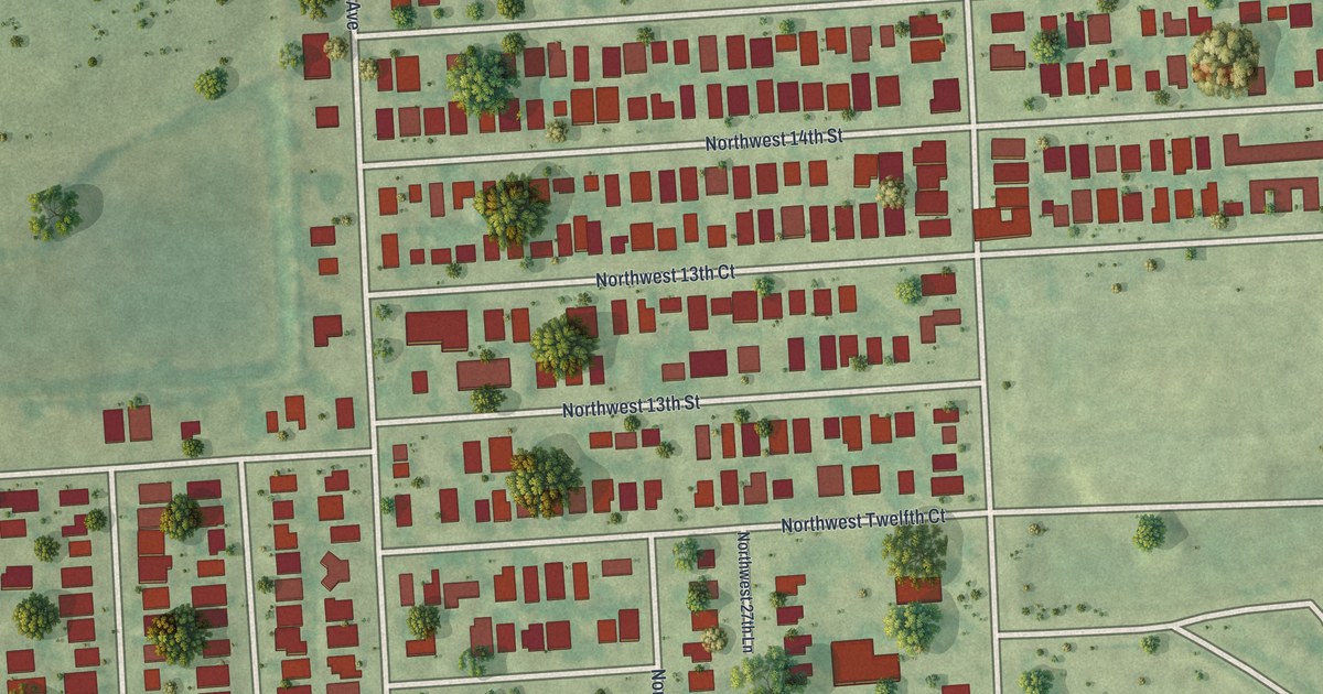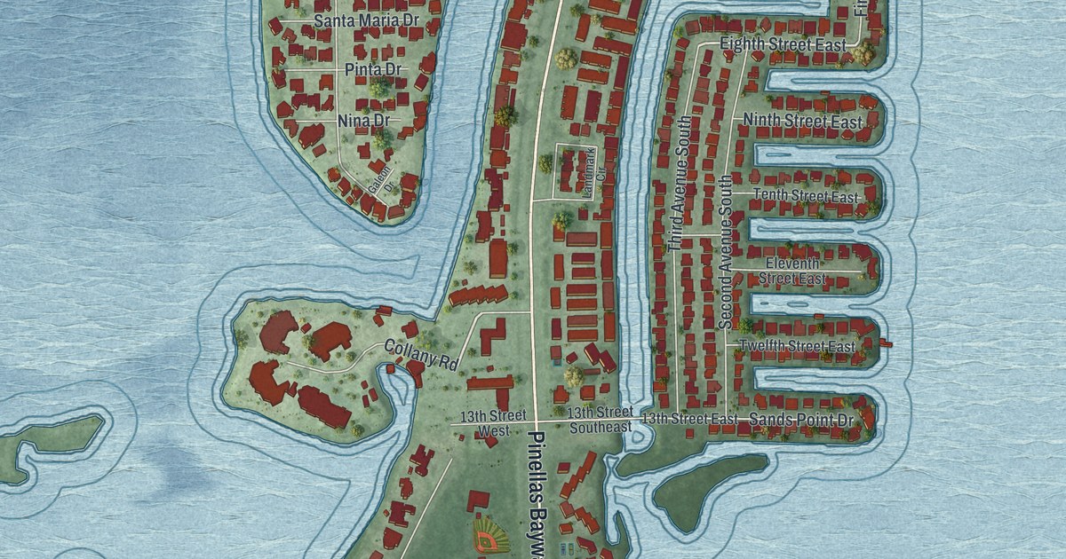
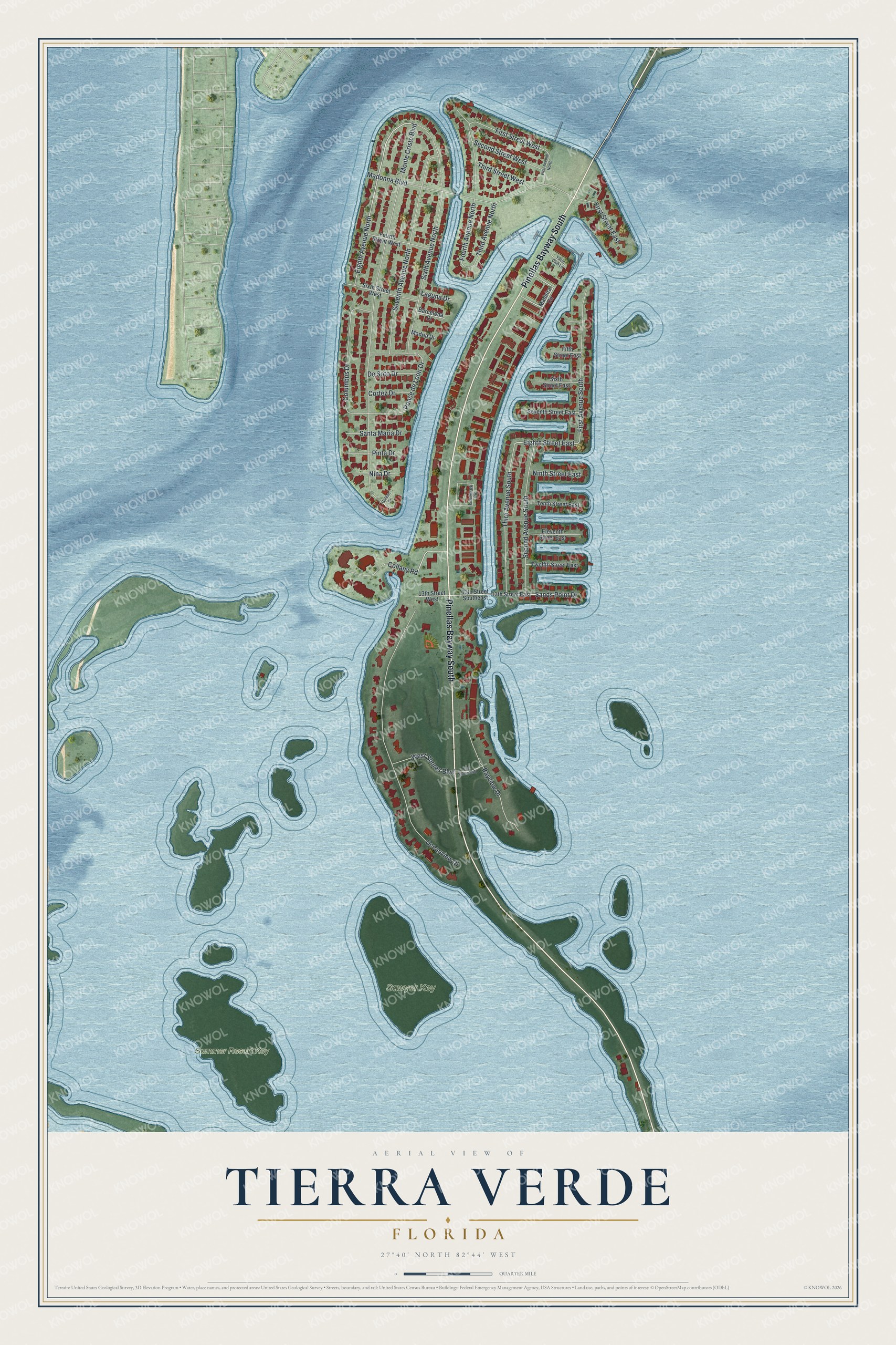
This beautifully detailed map of Tierra Verde, Florida was created in 2026 using aerial imagery combined with modern topographical, census, street and landmark data. It's a modern aerial view of Tierra Verde in Pinellas County, Florida, that combines modern data with a vintage aesthetic. The roads feature printed names, and if you look closely you can find your exact house accurately shown in its correct location.
Explore an aerial view of Tierra Verde, Florida
On this map you'll find Sawyer Key, Summer Resort Key, Pinellas Bayway South, Eighth Avenue North, Eighth Street East, Monte Cristo Boulevard, Oceanview Drive, Sixth Avenue North, Seventh Avenue North, Madonna Boulevard, Second Avenue South, Third Avenue South, and more. Each red shape is a building, so zoom in on the preview and look for yours.
Tierra Verde has a story worth telling. In 1958 Texas oil men Clint and John Murchison bought 16 scrubby barrier islands in Boca Ciega Bay, among them Cabbage Key, Pine and Pardee. With New York developer Louis Berlanti and his son Fred, they grafted the islands together into Tierra Verde, whose name means Green Land. Bandleader Guy Lombardo lent his name to the development, and Guy Lombardo's Port-o-Call restaurant and nightclub drew home buyers. In 1963 an episode of the TV series Route 66 was filmed there. That's from the St. Pete Catalyst.
Tierra Verde is a community in Pinellas County. The Census Bureau counted 3,836 people here in 2020. Tierra Verde sits about 6 miles south of Gulfport, 6 miles south of South Pasadena and 7 miles south of Bear Creek. The map prints the town name in its title panel, with the coordinates below it.
Take a closer look at the Tierra Verde map
Names on this map
These names are printed on this map.
Places: Sawyer Key and Summer Resort Key.
Streets and roads: Pinellas Bayway South, Eighth Avenue North, Eighth Street East, Monte Cristo Boulevard, Oceanview Drive, Sixth Avenue North, Seventh Avenue North, Madonna Boulevard, Second Avenue South, Third Avenue South, First Avenue South, Ponce de Leon Drive.
More street names, A to Z
13th Street East, 13th Street Southeast, 13th Street West, Barcelona Drive, Bayview Drive, Collany Road, Columbus Drive, Cortez Drive, De Soto Drive, East Shore Boulevard, Eleventh Street East, Fifth Street East, First Avenue North, First Street East, First Street West, Fourth Avenue North, Fourth Street West, Galeon Drive, Laguna Drive, Landmark Circle, Madeira Circle, Madrid Drive, Nina Drive, Ninth Street East, Pinta Drive, Sands Point Drive, Santa Maria Drive, Second Street West, Seventh Street East, Sixth Street East, Sixth Street West, Tenth Street East, Third Avenue North, Third Street West, Twelfth Street East, West Shores Boulevard, Yacht Club Lane.
See it on a wall
The Tierra Verde map as a framed print. Swipe for more.


Created by KNOWOL in 2026. The buildings are small red shapes, the roads carry their printed names, and shaded relief shows the shape of the land. The title panel reads "AERIAL VIEW OF TIERRA VERDE, FLORIDA" with 27°40' NORTH 82°44' WEST.
It looks right in a kitchen, an office or a den, and it's a gift for anyone who grew up in Tierra Verde or moved away. Open the preview and find your street. See sizes and frames for the Tierra Verde map.