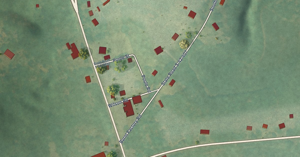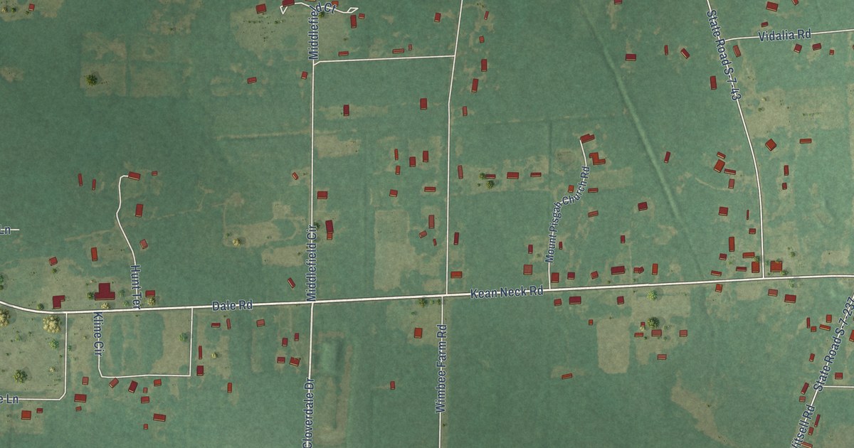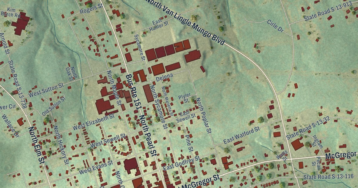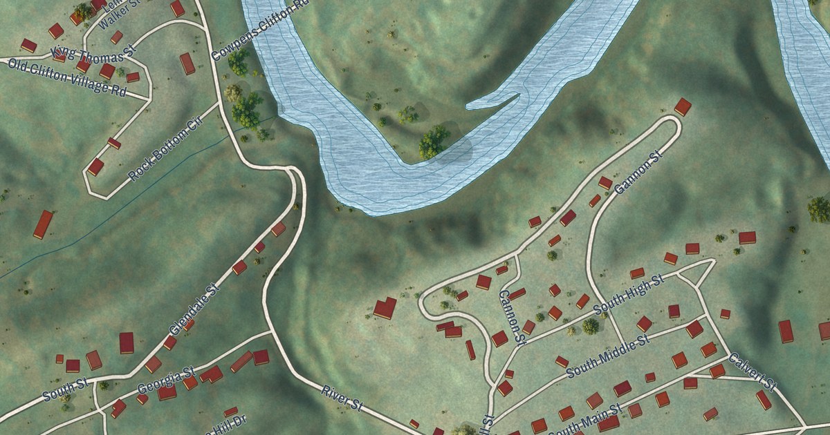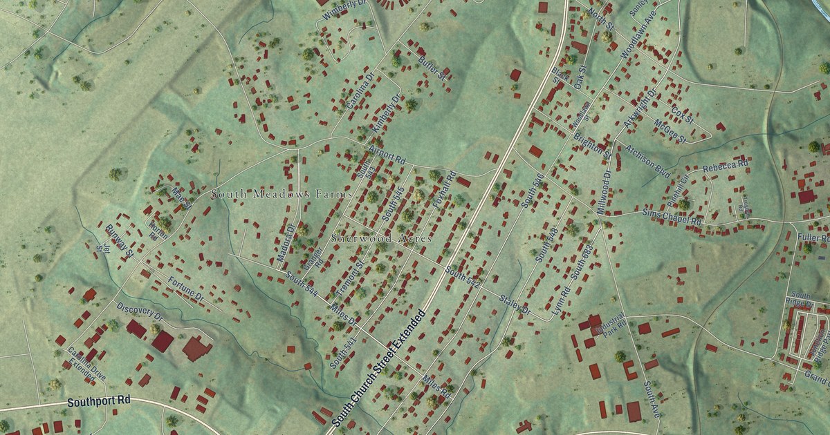
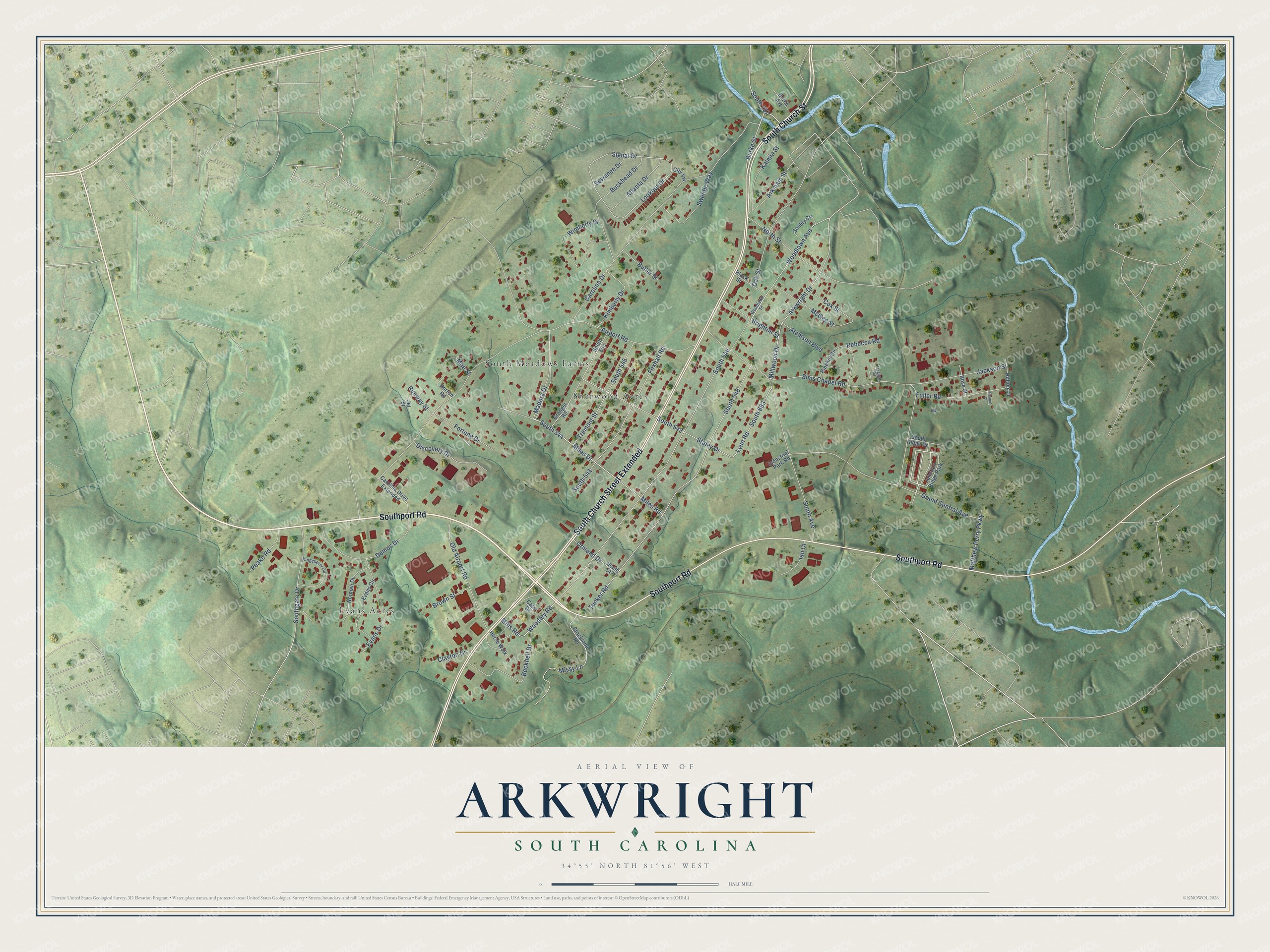
This beautifully detailed map of Arkwright, South Carolina was created in 2026 using aerial imagery combined with modern topographical, census, street and landmark data. It's a modern aerial view of Arkwright in Spartanburg County, South Carolina, that combines modern data with a vintage aesthetic. The roads feature printed names, and if you look closely you can find your exact house accurately shown in its correct location.
Explore an aerial view of Arkwright, South Carolina
On this map you'll find South Meadows Farms, Evans Acres, Sherwood Acres, Southport Road, South Church Street Extended, South Church Street, South Avenue, Miles Drive, South 544, Burke Street, Woodlawn Avenue, Millwood Drive, and more. Each red shape is a building, so zoom in on the preview and look for yours.
Arkwright is a community in Spartanburg County. The Census Bureau counted 2,311 people here in 2020. Arkwright sits about 2 miles south of Spartanburg, 3 miles northeast of Roebuck and 4 miles southeast of Saxon. The map prints the town name in its title panel, with the coordinates below it.
Take a closer look at the Arkwright map
Names on this map
These names are printed on this map.
Places: South Meadows Farms, Evans Acres, Sherwood Acres and Junction Ridge Park.
Streets and roads: Southport Road, South Church Street Extended, South Church Street, South Avenue, Miles Drive, South 544, Burke Street, Woodlawn Avenue, Millwood Drive, South 683, South 787, Mills Road.
More street names, A to Z
Airport Road, Arkmain Street, Arkwright Drive, Atchison Boulevard, Atlanta Drive, Becknell Drive, Black Street, Brighton Street, Brown Street, Buckhead Drive, Burke Avenue, Butler Street, Carolina Drive, Carolina Drive Extended, Case Drive, City Vw, Clayton Drive, Cox Street, Demos Drive, Discovery Drive, Evans Circle, Evans Drive, Fortune Drive, Foxhall Road, Fuller Road, Grand Central Avenue, Granger Road, Hilltop Lane, Horse Walk, Horton Road, Ian Court, Industrial Park Road, Jackson Street, Jet Street, Kalmia Street, Kimberly Drive, Kingsberry Circle, Lookout Drive, Lynn Road, Madora Drive, Mae Street, Matthew Perry Parkway, McGee Street, Miles Road, Missy Lane, Norman Drive, North Street, Oak Street, Old Airport Road, Ormond Drive, Peake Road, Peanut Court, Pinehill Circle, Rebecca Road, Rose Street, Runway Street, Sewanee Drive, Signal Drive, Sims Chapel Road, Sonley Circle, South 541, South 542, South 543, South 545, South 546, South 547, South 548, Southgate Drive, South Ridge Drive, Staley Drive, Strickland Road, Sweetie Way, Tremont Street, Trogden Road, Tucker Road, Wimberly Drive, Woodlawn Street, Woodley Road.
See it on a wall
The Arkwright map as a framed print. Swipe for more.


Created by KNOWOL in 2026. The buildings are small red shapes, the roads carry their printed names, and shaded relief shows the shape of the land. The title panel reads "AERIAL VIEW OF ARKWRIGHT, SOUTH CAROLINA" with 34°55' NORTH 81°56' WEST.
It looks right in a kitchen, an office or a den, and it's a gift for anyone who grew up in Arkwright or moved away. Open the preview and find your street. See sizes and frames for the Arkwright map.