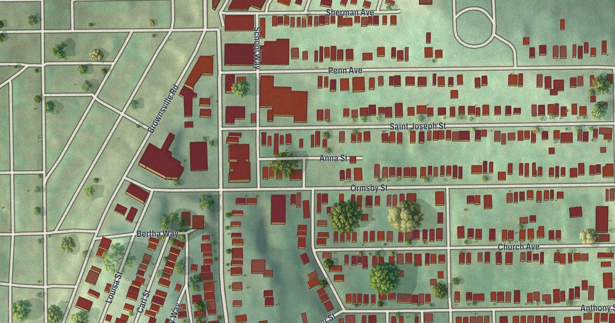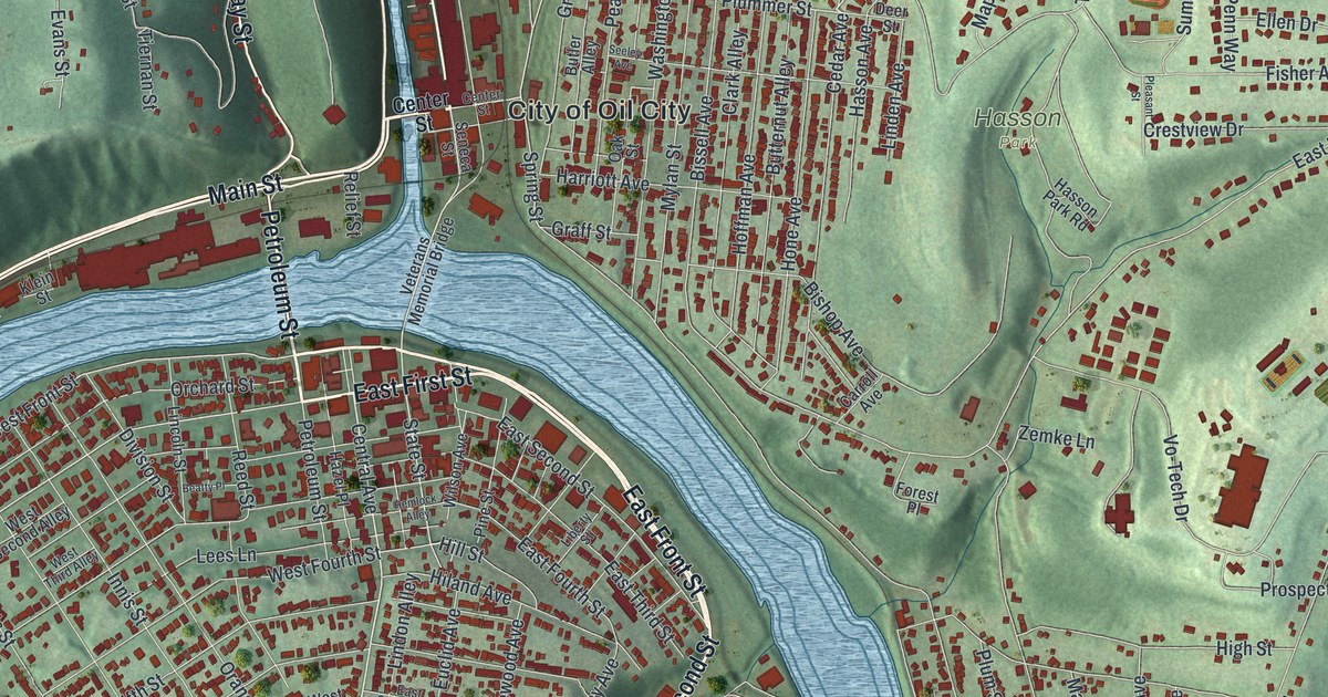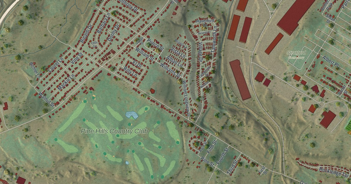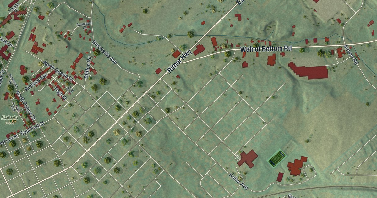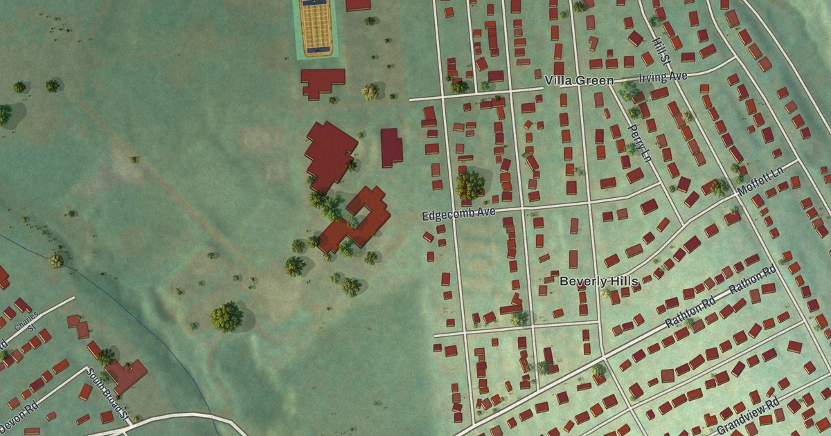
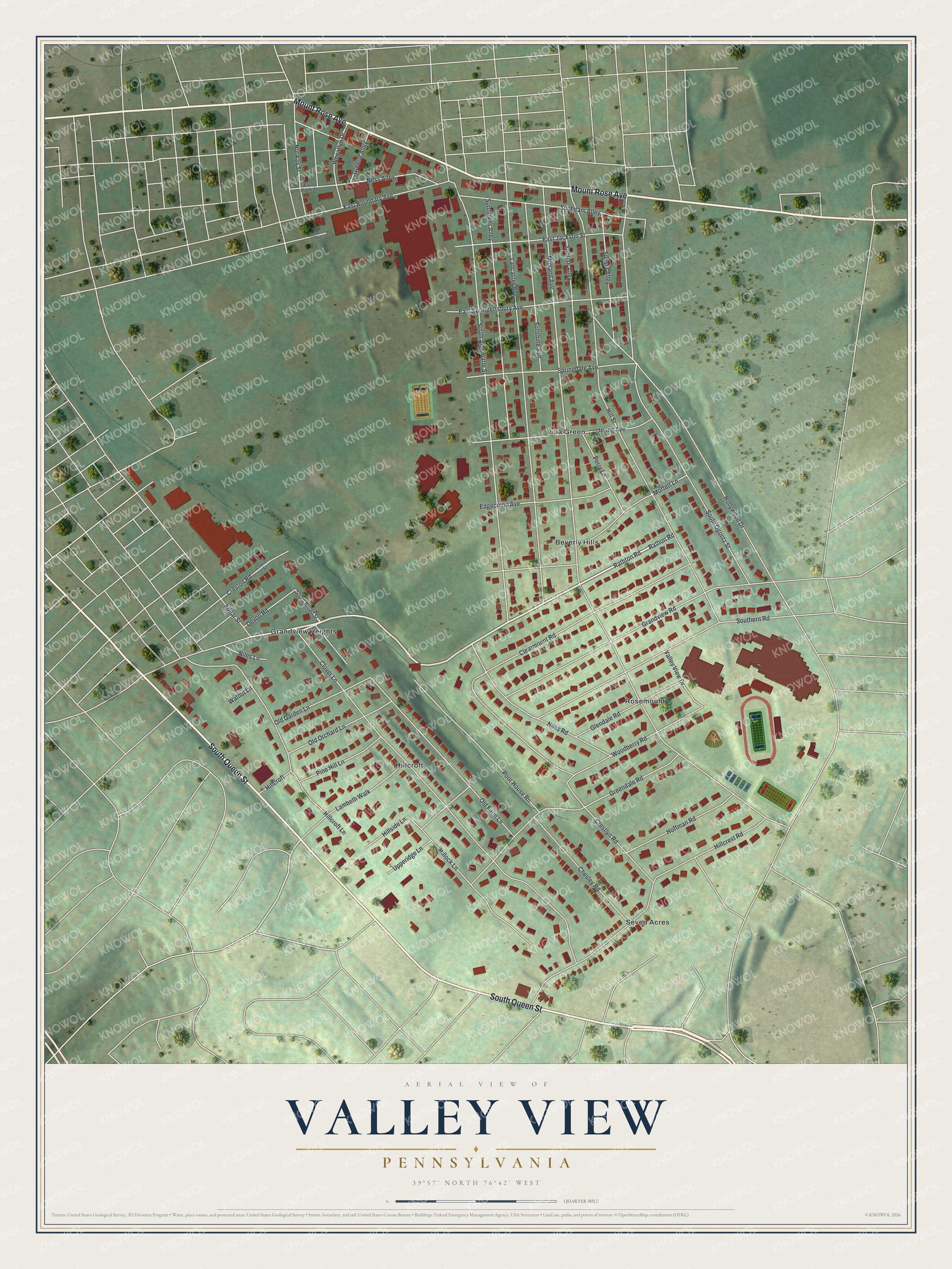
This beautifully detailed map of Valley View, Pennsylvania was created in 2026 using aerial imagery combined with modern topographical, census, street and landmark data. It's a modern aerial view of Valley View in York County, Pennsylvania, that combines modern data with a vintage aesthetic. The roads feature printed names, and if you look closely you can find your exact house accurately shown in its correct location.
Explore an aerial view of Valley View, Pennsylvania
On this map you'll find Rosemount, Villa Green, Hillcroft, Seven Acres, Beverly Hills, Grandview Heights, South Queen Street, Mount Rose Avenue, Rathton Road, Rathon Road, Midland Avenue, Hollywood Drive, and more. Each red shape is a building, so zoom in on the preview and look for yours.
Valley View is a community in York County. The Census Bureau counted 2,926 people here in 2020. Valley View sits about 2 miles northeast of Grantley, 2 miles southwest of East York and 2 miles southeast of York. The map prints the town name in its title panel, with the coordinates below it.
Take a closer look at the Valley View map
Names on this map
These names are printed on this map.
Places: Rosemount, Villa Green, Hillcroft, Seven Acres, Beverly Hills and Grandview Heights.
Streets and roads: South Queen Street, Mount Rose Avenue, Rathton Road, Rathon Road, Midland Avenue, Hollywood Drive, South Albemarle Street, Hill Street, Lancaster Avenue, Clover Lane, South Ogontz Street, Hillcroft Lane.
More street names, A to Z
Charles Street, Chesley Road, Clearmount Road, Crestlyn Road, Creston Road, Devon Road, East Boundary Avenue, East Jackson Street, East Maple Street, East Springettsbury Avenue, Edgar Street, Edgecomb Avenue, Glendale Road, Grandview Road, Greendale Road, Greene Alley, Hillcrest Road, Hillock Lane, Hillside Lane, Hoffman Road, Irving Avenue, Lambeth Walk, Moffett Lane, Ness Alley, Niles Lane, Niles Road, Norway Street, Old Farm Lane, Old Garden Lane, Old Orchard Lane, Perry Lane, Pine Hill Lane, Poor House Rn, Sampson Avenue, South Broad Street, Southern Road, Springdale Avenue, Sunbeam Alley, Sunflower Alley, Sunrise Alley, Sunset Alley, Sunshine Avenue, Upperidge Lane, Valley View Drive, Walnut Lane, Wheatlyn Drive, Woodberry Road.
See it on a wall
The Valley View map as a framed print. Swipe for more.


Created by KNOWOL in 2026. The buildings are small red shapes, the roads carry their printed names, and shaded relief shows the shape of the land. The title panel reads "AERIAL VIEW OF VALLEY VIEW, PENNSYLVANIA" with 39°57' NORTH 76°42' WEST.
Hang it in the hallway, the office or the cabin, or give it to someone who left Valley View and still calls it home. Open the preview and look for a street you know. See sizes and frames for the Valley View map.