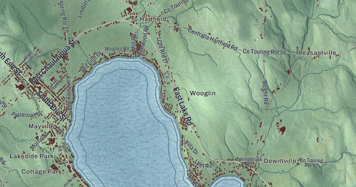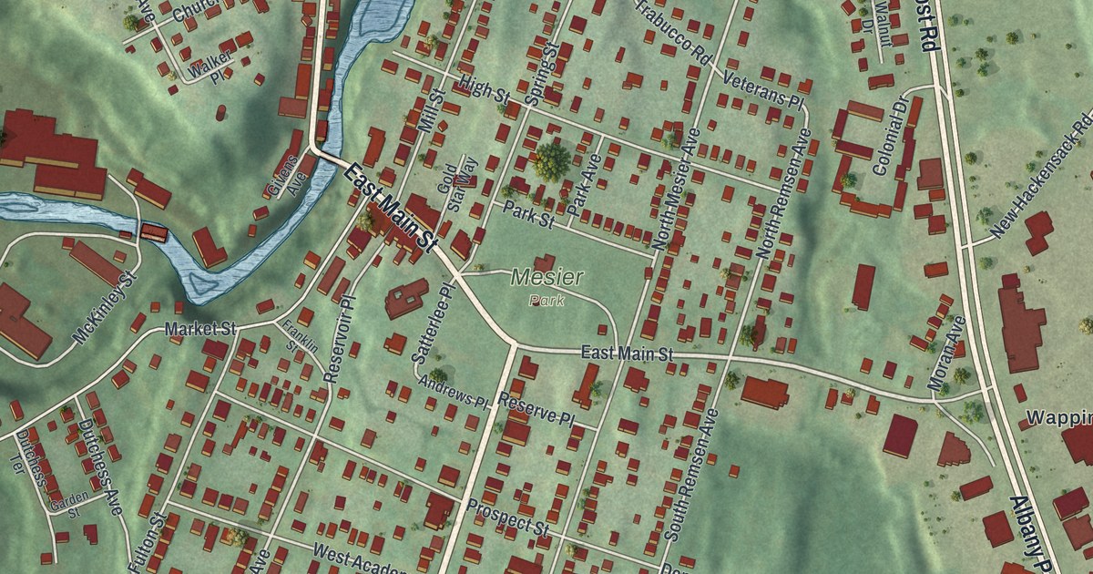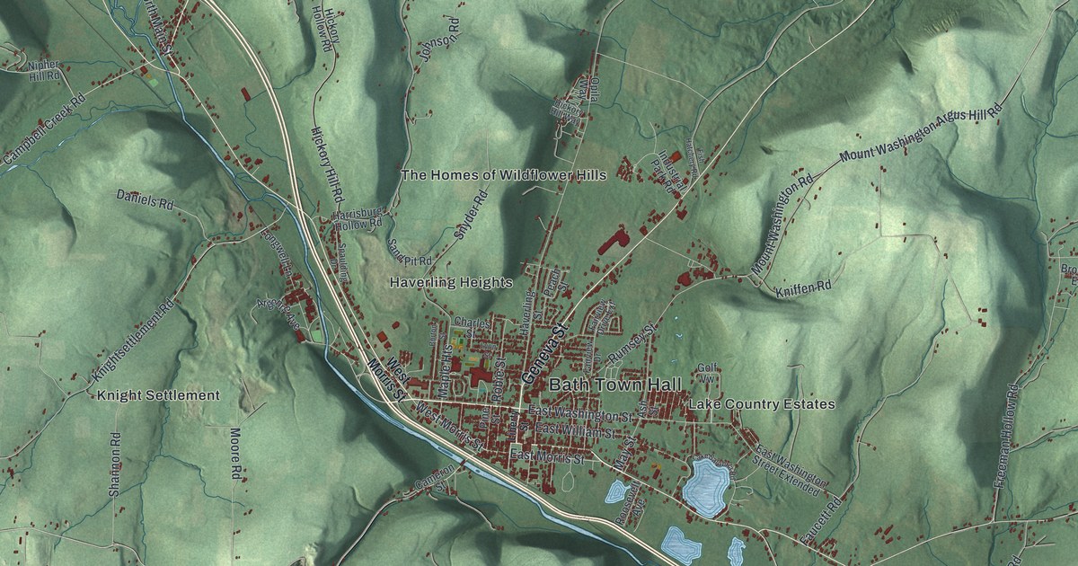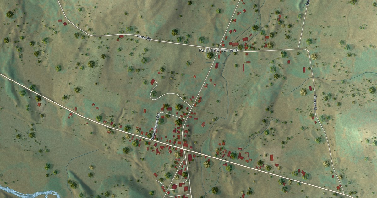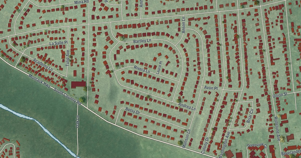
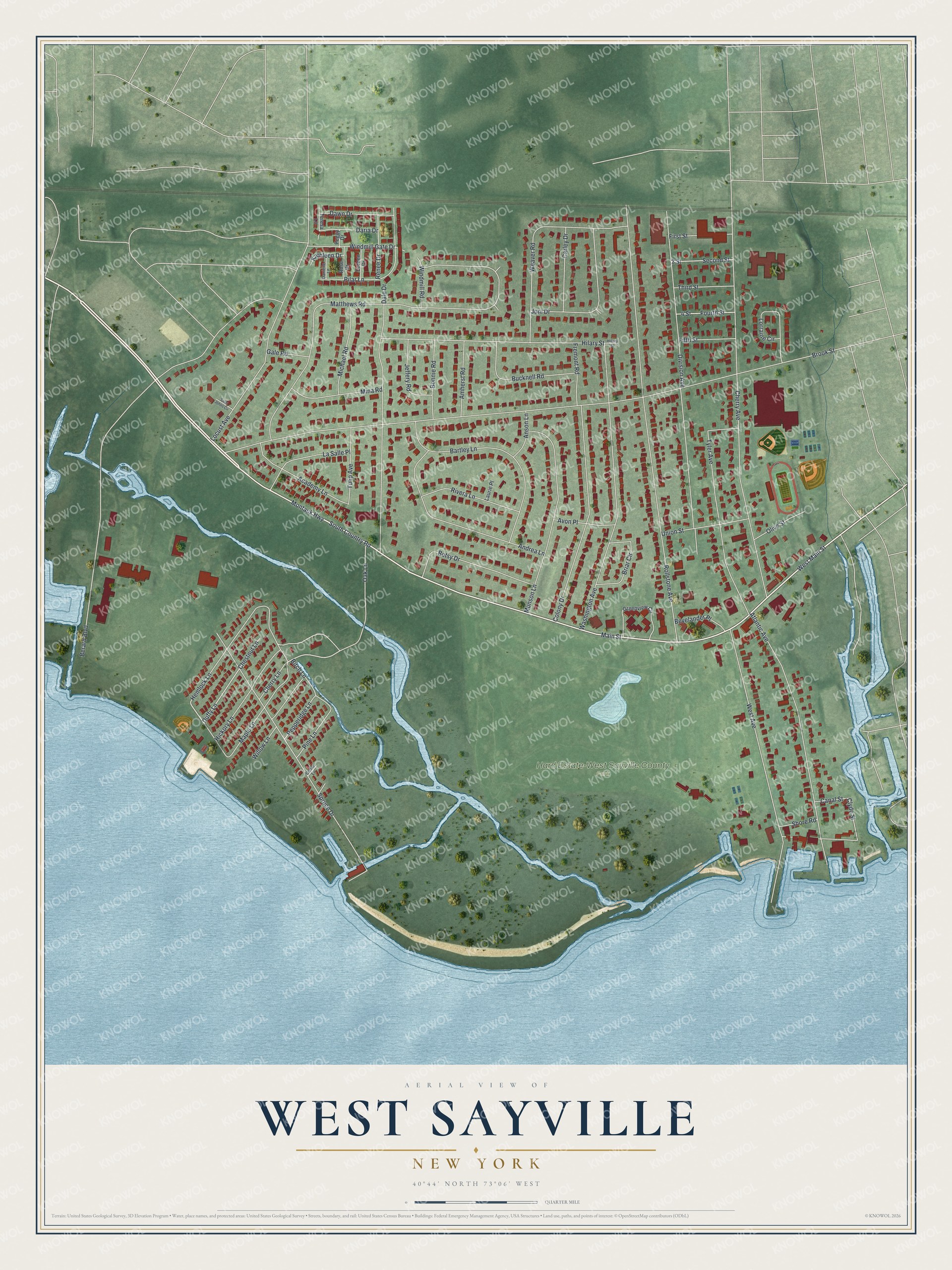
This beautifully detailed map of West Sayville, New York was created in 2026 using aerial imagery combined with modern topographical, census, street and landmark data. It’s a one-of-a-kind view of West Sayville that combines accurate data with a vintage aesthetic. The map shows every building in its true location, many of the roads carry their names, and the shaded topographic relief shows the shape of the land.
Explore an aerial view of West Sayville, New York
On the map you’ll find Hard Estate-West Sayville County Park, along with Montauk Highway, South Country Road, Main Street, West Main Street, Oak Lane, Duffy Lane, Clyde Street, Brook Street, Berard Boulevard, Rollstone Avenue, Matthews Road, and more. West Sayville sits about 2 miles east of Oakdale, 3 miles southwest of Bayport and 4 miles southeast of North Great River. If you look closely you can even find your house accurately drawn in its correct location. Zoom in on the preview to look for yours.
Did You Know?
In 1849 the families of Cornelius DeWaal and Cornelius Hage came over from Zeeland, a shellfishing province of the Netherlands. They had meant to go on to Michigan, but word of the Great South Bay oysters brought them to Sayville instead, and by 1910 about 1,200 Dutch people lived in West Sayville. The Dutch worked the oyster trade at every level, as baymen, planters and shippers. The Long Island Maritime Museum in West Sayville, on the former Bourne estate, keeps their story. That's from the Gotham Center for New York City History.
Take a closer look at the West Sayville map
Names on this map
These names are printed on this map.
Places: Hard Estate-West Sayville County Park.
Streets and roads: Montauk Highway, South Country Road, Main Street, West Main Street, Oak Lane, Duffy Lane, Clyde Street, Brook Street, Berard Boulevard, Rollstone Avenue, Matthews Road, Cherry Avenue.
More street names, A to Z
2 Street, 4 Street, Academy Lane, Amherst Road, Andrea Lane, Anson Lane, Atlantic Avenue, Avon Place, Bartley Lane, Betsy Drive, Bevelander Place, Birch Lane, Bonnie Road, Briar Circle, Bucknell Road, Canal Street, Carley Drive, Cedar Lane, Cherry Lane, Chestnut Lane, Colony Drive, Dale Drive, Danielle Lane, Daria Drive, Dawn Drive, Division Avenue, Doreen Drive, Fifth Street, First Street, Fourth Street, Fremont Road, Gale Road, Greenview Circle, Hemlock Lane, Hickory Lane, Hilary Street, Hillary Street, Jeffery Road, Joni Drive, Kathleen Drive, La Salle Place, Laurie Place, Locust Avenue, Lorraine Circle, Maple Lane, Michael Road, Mina Road, Munson Lane, Olive Street, Peggy Drive, Pepperidge Lane, Pilar Lane, Pine Lane, Renee Drive, Rivera Lane, Rose Drive, Saint Johns Circle, Second Street, Shore Road, Spruce Drive, Teresa Lane, Third Street, Tulip Avenue, Tyler Avenue, Union Street, Washington Avenue, Weaver Road, West Avenue, Willow Lane, Windmill Gate Drive, Windmill Road.
See it on a wall
The West Sayville map as a framed print. Swipe for more.


This beautifully detailed map of West Sayville makes an attractive addition to your office, library, or den, and it can even be used to teach children the geography and history of the area. It also makes a great gift for anyone with West Sayville roots. When you’re done exploring, click here to get your copy of the West Sayville map.