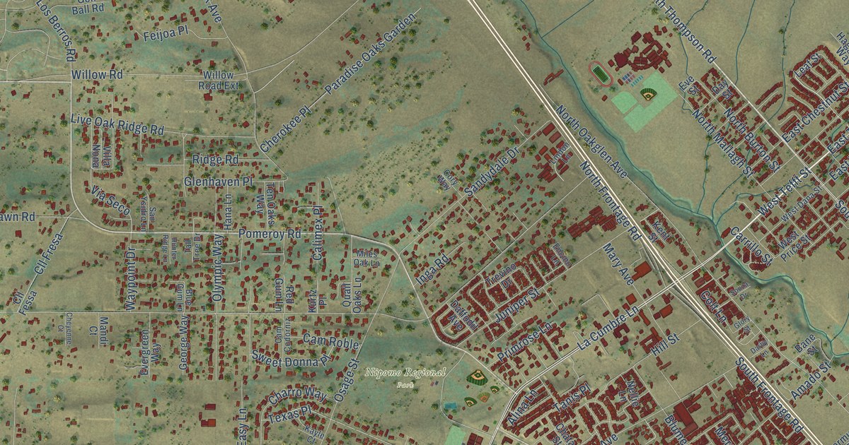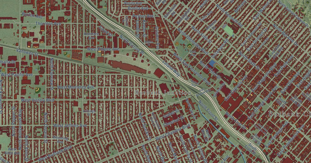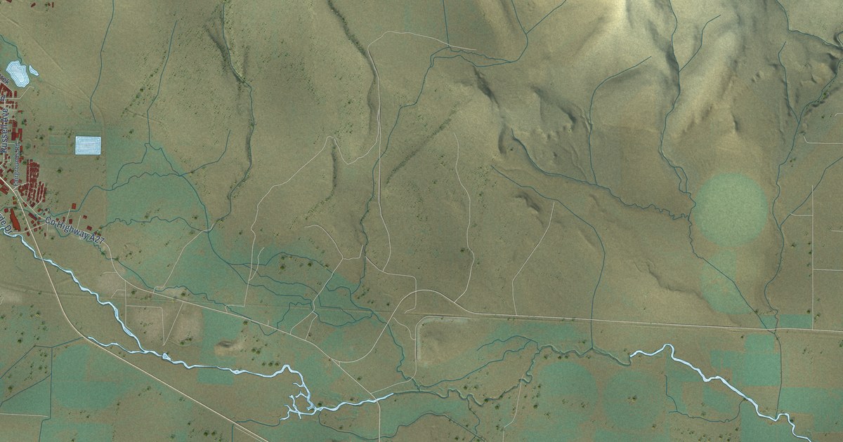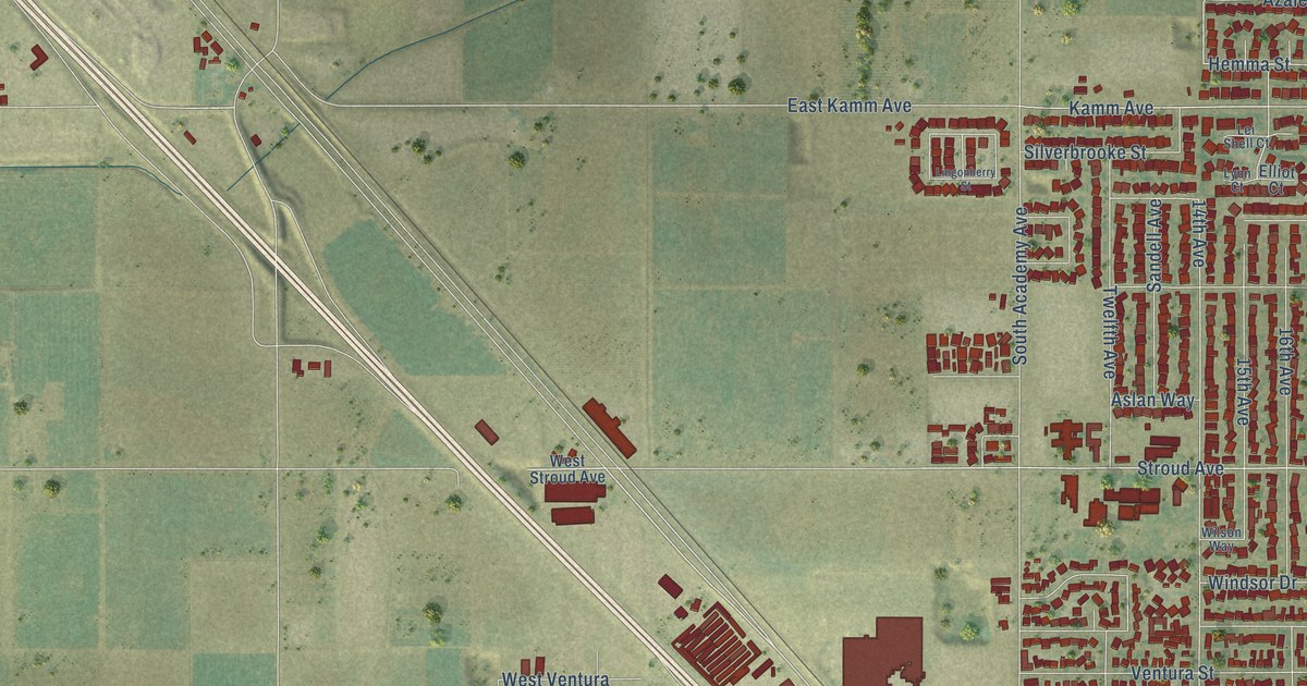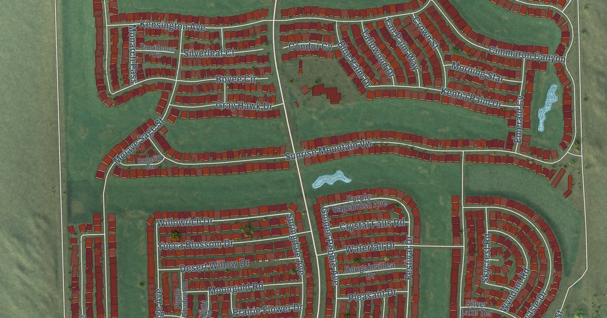
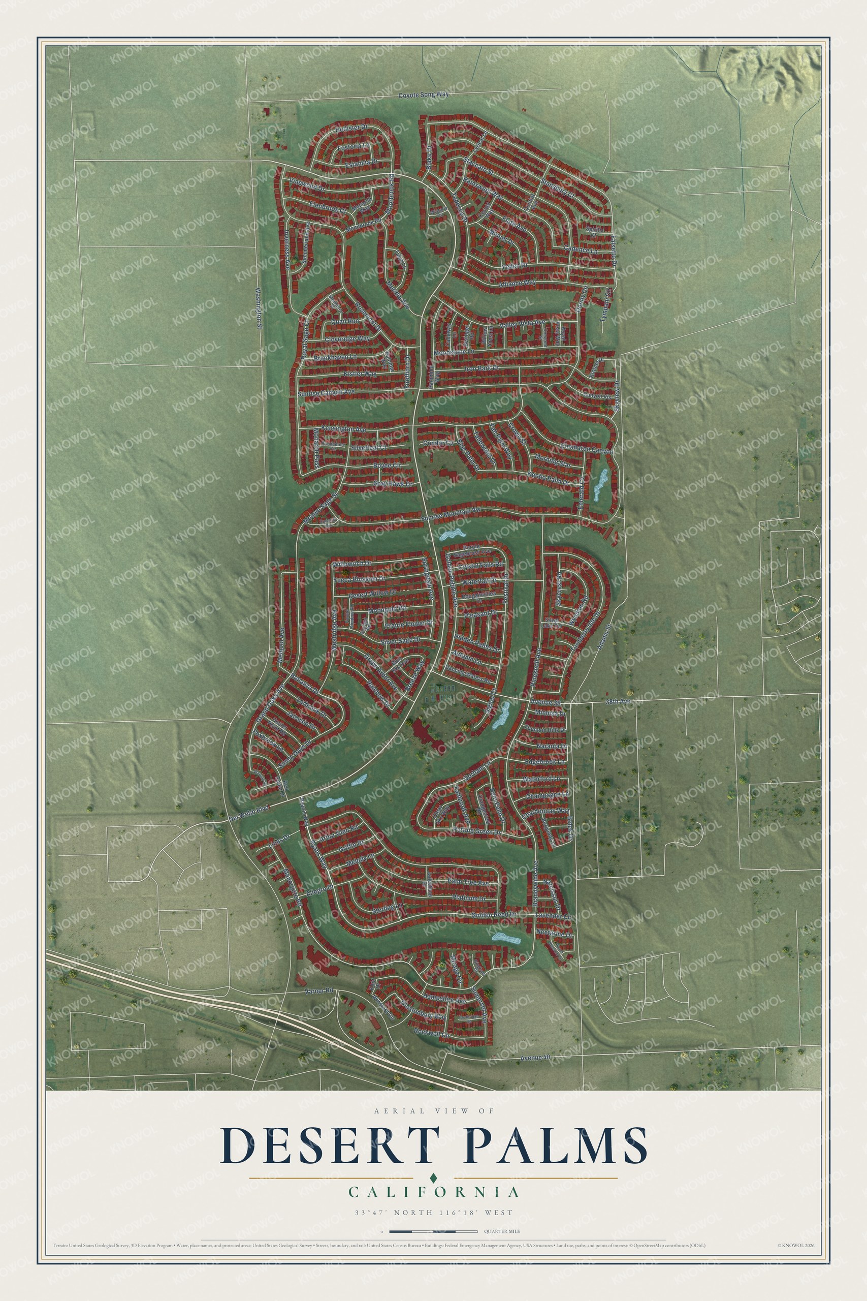
This beautifully detailed map of Desert Palms, California was created in 2026 using aerial imagery combined with modern topographical, census, street and landmark data. It's a modern aerial view of Desert Palms in Riverside County, California, that combines modern data with a vintage aesthetic. The roads feature printed names, and if you look closely you can find your exact house accurately shown in its correct location.
Explore an aerial view of Desert Palms, California
On this map you'll find Del Webb Boulevard, Moorbrook Road, Bonanza Drive, Golden Reed Drive, Grand Oaks Avenue, Ryans Way, Golden Pebble Avenue, Skyview Drive, Edgebrook Lane, Manorgate Road, Festival Drive, Falsetto Drive, and more. Each red shape is a building, so zoom in on the preview and look for yours.
Desert Palms is a community in Riverside County. The Census Bureau counted 6,686 people here in 2020. Desert Palms sits about 3 miles north of Bermuda Dunes, 4 miles southeast of Thousand Palms and 5 miles northeast of Palm Desert. The map prints the town name in its title panel, with the coordinates below it.
Take a closer look at the Desert Palms map
Names on this map
These names are printed on this map.
Streets and roads: Del Webb Boulevard, Moorbrook Road, Bonanza Drive, Golden Reed Drive, Grand Oaks Avenue, Ryans Way, Golden Pebble Avenue, Skyview Drive, Edgebrook Lane, Manorgate Road, Festival Drive, Falsetto Drive.
More street names, A to Z
38th Avenue, Adams Street, Allegro Drive, Alliance Way, Arbor Glen Road, Autumn Lane, Avenue 38, Avenue 40, Belek Drive, Bent Palm Drive, Beringer Road, Blake Drive, Blue Palm Drive, Blue Sky Avenue, Bougainvillea Drive, Bovee Circle, Brandywine Avenue, Breeze Way, Brookhaven Lane, Burgundy Lane, Cadence Lane, Calloway Lane, Canyon Vis, Champagne Lane, Chardonnay Way, Cimmaron Canyon, Clear Sky Way, Cloveridge Way, Condor Cv, Cornet Way, Coyote Song Way, Crescent Street, Crown Street, Crystal Falls Road, Dancing Waters Road, Desert Willow Drive, Donny Circle, Elenbrook Court, Emerald Cv, Estancia Drive, Fallbrook Avenue, Fan Palm Way, Firethorn Drive, Flute Avenue, Fostoria Lane, Fountain Hills Drive, Foxbrook Lane, Gingham Court, Glastonbury Way, Gorham Lane, Grape Arbor Avenue, Gray Hawk Drive, Griffin Drive, Hampshire Avenue, Hidden Palms Drive, Hollister Drive, Hunter Point Road, Inverness Avenue, Iron Bark Drive, Jadestone Drive, Jalousie Drive, Kensington Avenue, Kent Drive, Kentia Palm Drive, Kistler Way, Kramer Drive, Larbrook Drive, Lavender Circle, Links Drive, Lyrical Lane, Medjool Avenue, Melody Lane, Meridia Avenue, Mimosa Drive, Minuet Drive, Mirage Circle, Mojave Sage Street, Monarch Pass, Monarch Way, Monnbrook Road, Moongold Road, Moonstone Lane, Morning Star, Naranja Drive, Narcissus Drive, Nectarine Drive, Orangecrest Road, Palm Tree Avenue, Palomar Way, Palomino Way, Peach Blossom Circle, Pineknoll Avenue, Platinum Drive, Pleasant Drive, Postbridge Circle, Prairie Flower Drive, Providence Circle, Purple Sagebrush Avenue, Purple Shadow Road, Putting Green Drive, Quail Run, Quintet Avenue, Rainbow Drive, Rainswept Way, Red Cedar Drive, Rockwell Circle, Rosemont Drive, Royal Sage Court, Royal Vista Way, Ryan's Way, Signal Court, Silver Lake Terrace, Silverleaf Court, Silver Sage Drive, Skycrest Road, Skylight Road, Somerset Avenue, Spirito Court, Springdale Avenue, Staccato Street, Stansbury Court, Sterling Lane, Stonebriar Drive, Summerland Avenue, Suncliff Circle, Sunny Days Drive, Sunrise Canyon Avenue, Sunrise Mountain Vw, Tallowood Drive, Talus Lane, Tedesca Drive, Turnberry Isle Drive, Tympani Circle, Valley Vista Avenue, Varner Road, Vinewood Drive, Washington Street, Waterfall Drive, Waterford Lane, Waverly Road, Westridge Avenue, Willow Crest Lane, Willowrich Drive, Winsford Circle, Wisteria Circle, Wyndam Road, Yellen Drive, Yucca Blossom Drive.
See it on a wall
The Desert Palms map as a framed print. Swipe for more.


Created by KNOWOL in 2026. The buildings are small red shapes, the roads carry their printed names, and shaded relief shows the shape of the land. The title panel reads "AERIAL VIEW OF DESERT PALMS, CALIFORNIA" with 33°47' NORTH 116°18' WEST.
It suits a den, a classroom or a front hall, and it makes a gift for anyone with Desert Palms roots. Open the preview and find the block you know. See sizes and frames for the Desert Palms map.