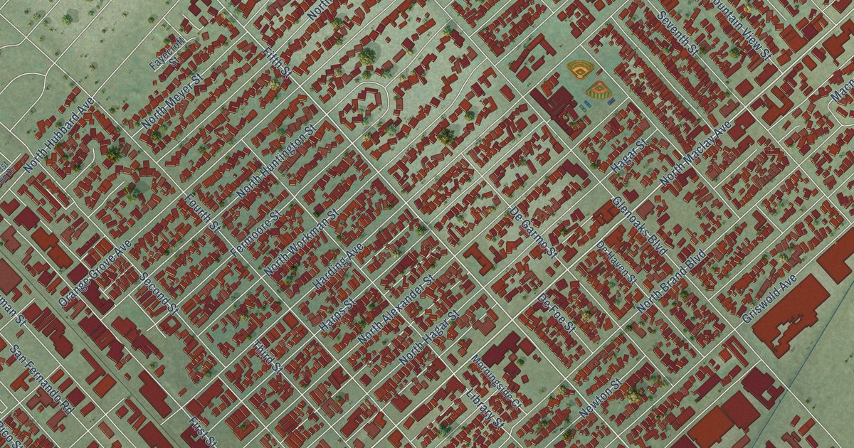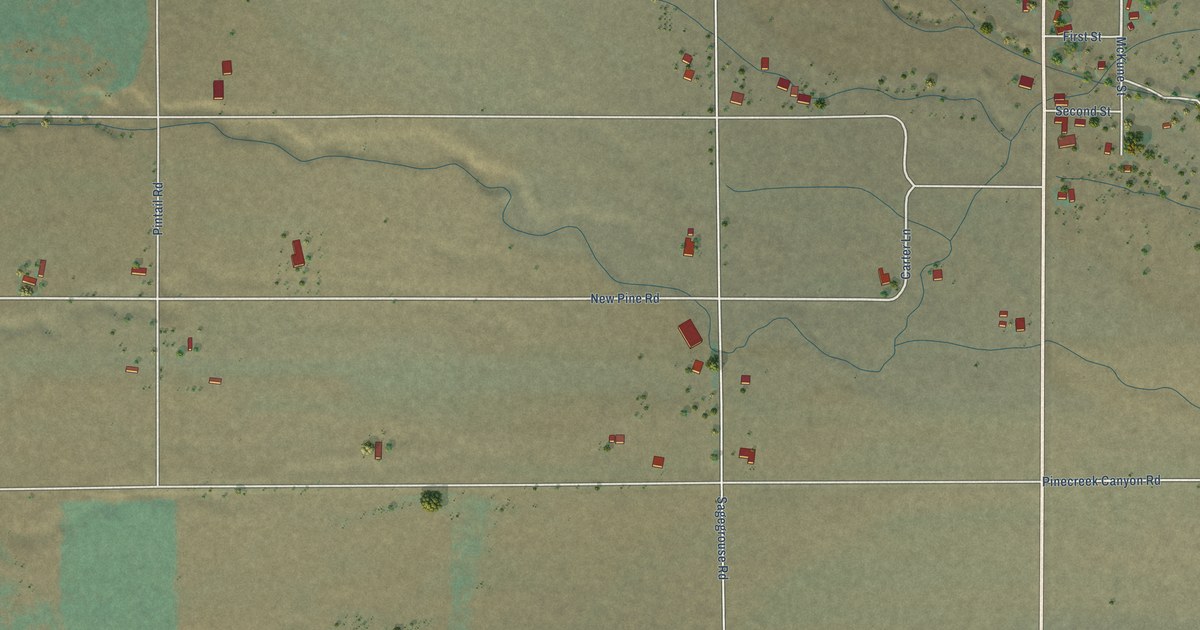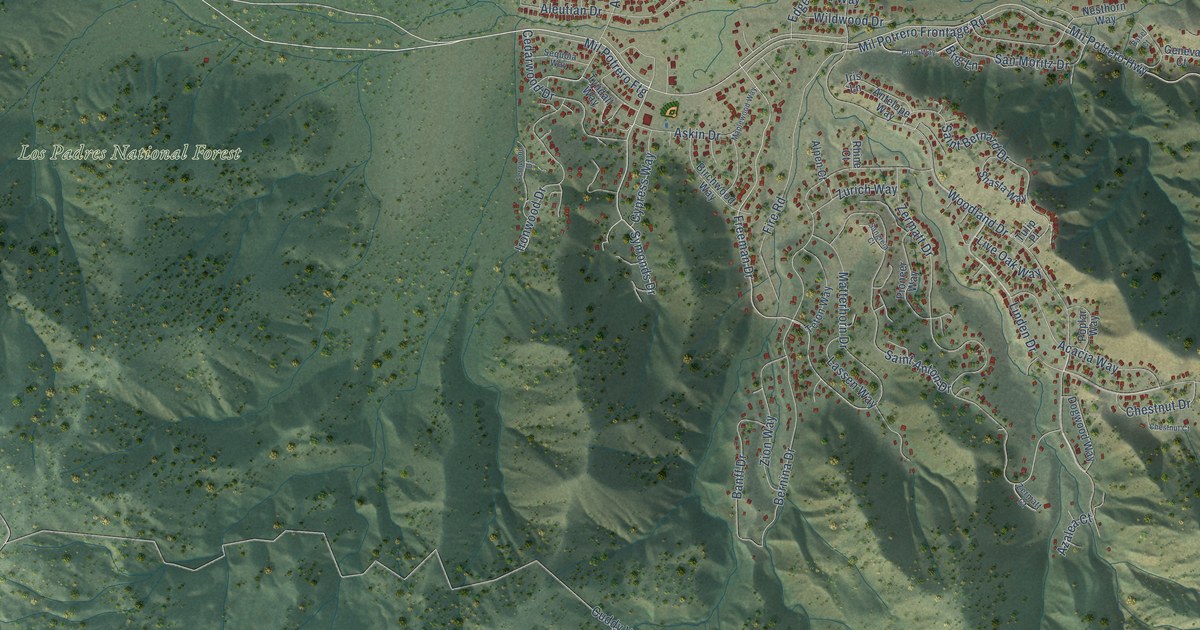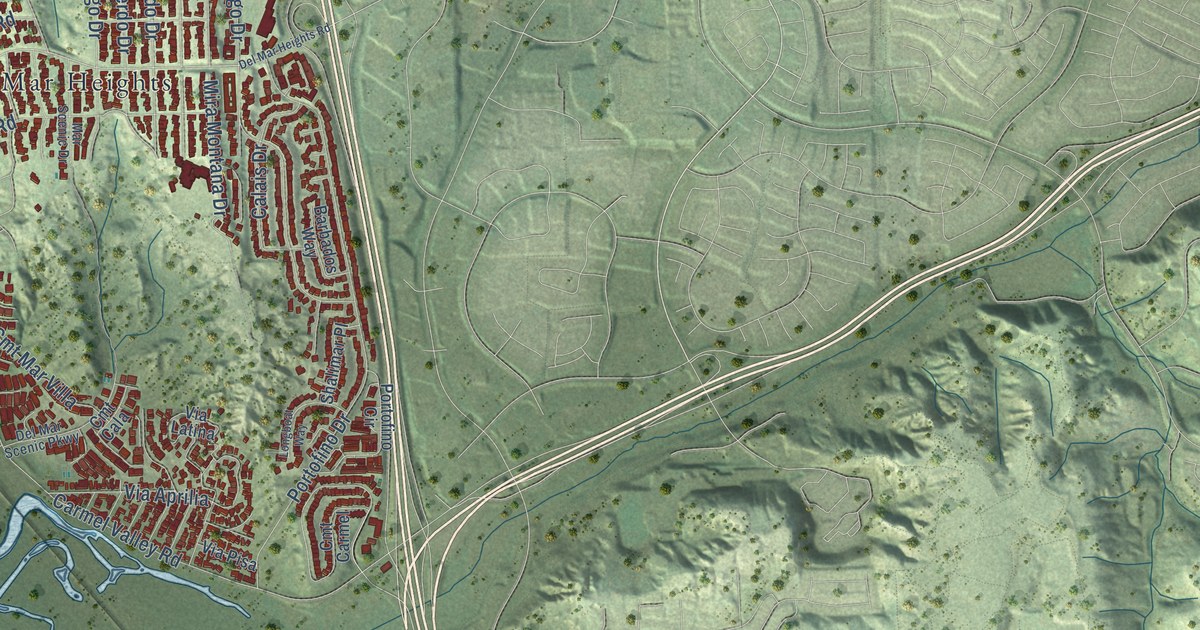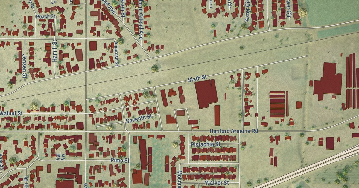
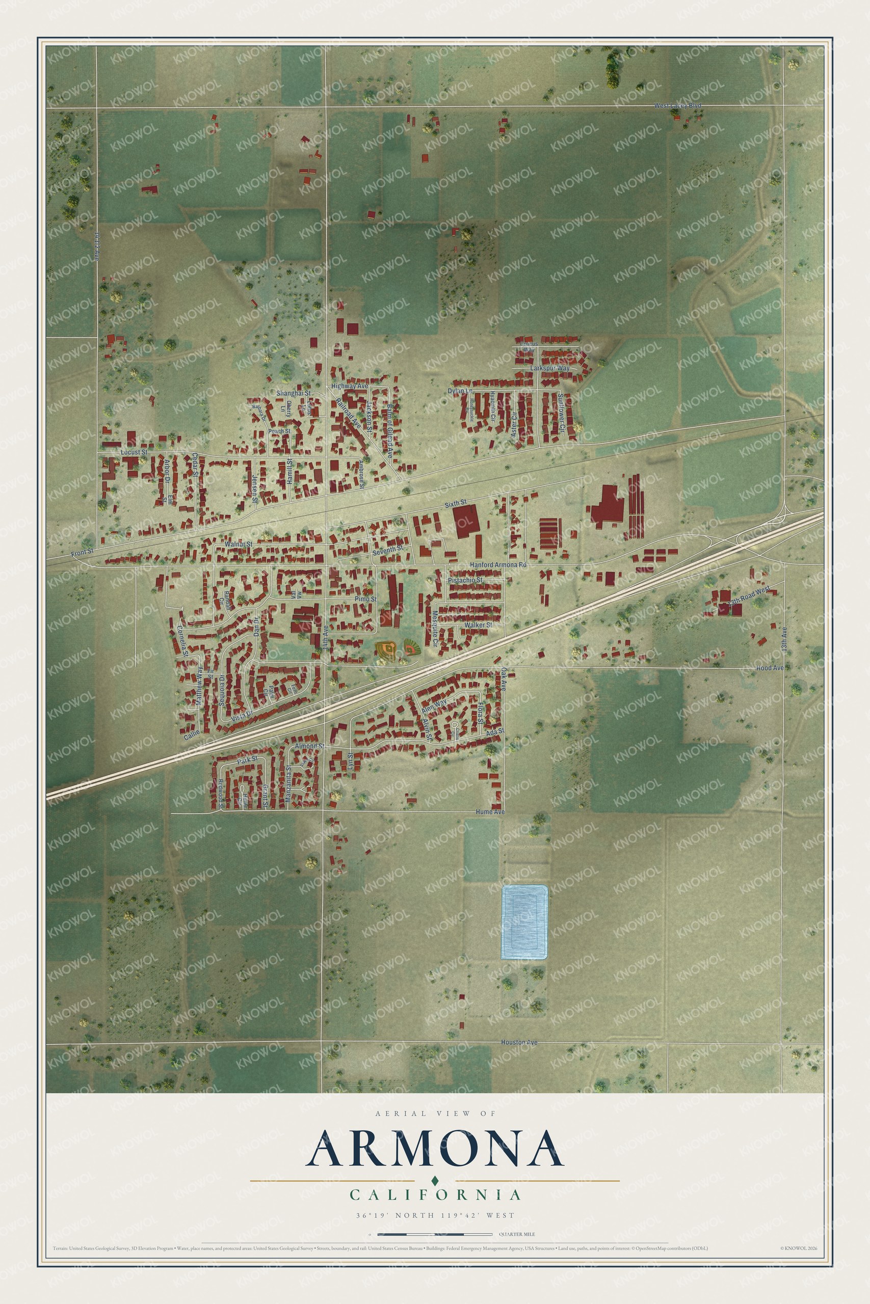
This beautifully detailed map of Armona, California was created in 2026 using aerial imagery combined with modern topographical, census, street and landmark data. It’s a one-of-a-kind view of Armona that combines accurate data with a vintage aesthetic. The map shows every building in its true location, many of the roads carry their names, and the shaded topographic relief shows the shape of the land.
Explore an aerial view of Armona, California
On the map you’ll find Walnut Street, Matthew Way, Highway Avenue, Park Street, Almond Street, 14th Avenue, Front Street, Hanford Armona Road, West Lacey Boulevard, Hood Avenue, 14 1/2 Avenue, Oak Avenue, and more. Armona sits about 2 miles south of Grangeville, 3 miles west of Hanford and 4 miles west of Home Garden. If you look closely you can even find your house accurately drawn in its correct location. Zoom in on the preview to look for yours.
Did You Know?
Armona is a railroad name, possibly made up from Ramona by the construction engineer. It was first given to a station on the Goshen to Huron branch line in the 1880s. When the Southern Pacific's San Joaquin branch joined that line east of the old station in June 1891, the name moved to the new junction. That's from the University of California Press.
Take a closer look at the Armona map
Names on this map
These names are printed on this map.
Streets and roads: Walnut Street, Matthew Way, Highway Avenue, Park Street, Almond Street, 14th Avenue, Front Street, Hanford Armona Road, West Lacey Boulevard, Hood Avenue, Oak Avenue, Sixth Street.
More street names, A to Z
13th Avenue, 13th Road West, Ada Street, Alen Way, Alvin Street, Ambrose Street, Arbor Drive, Aspen Circle, Aster Circle, Balm of Gilead Avenue, Barbara Drive, Callie, Cedar Street, Cherry Lane, Cornelia Street, Cristie Circle, Crocus Way, Dan Drive, Dylan Lane, Elm Street, Fern Circle, Fir Street, Flora Street, Grant Street, Hamill Street, Honeysuckle Circle, Houston Avenue, Hume Avenue, Hume Circle, Hyacinth Circle, Jackson Street, Jensen Street, Larkspur Way, Locust Street, Lotus Lane, Lyn Street, Manzanita Street, Mesquite Circle, Palm Circle, Peach Street, Pimo Street, Pistachio Street, Railroad Avenue, Randall Circle, Redwood Street, Sequoia Drive, Seventh Street, Shanghai Street, Sunflower Circle, Val Vw, Vista Drive, Walker Street.
See it on a wall
The Armona map as a framed print. Swipe for more.


This beautifully detailed map of Armona makes an attractive addition to your office, library, or den, and it can even be used to teach children the geography and history of the area. It also makes a great gift for anyone who grew up in Armona or moved away. When you’re done exploring, click here to get your copy of the Armona map.