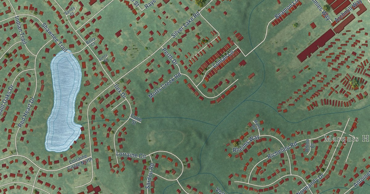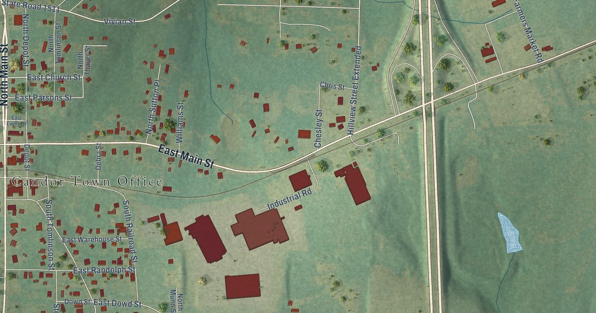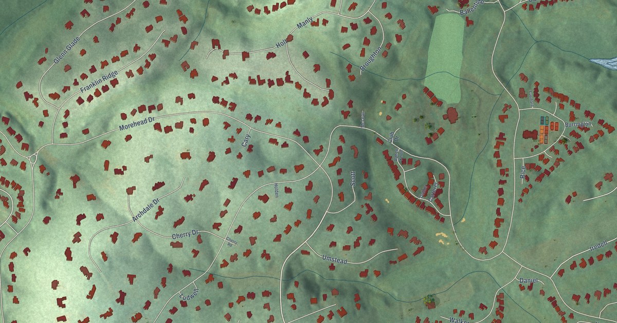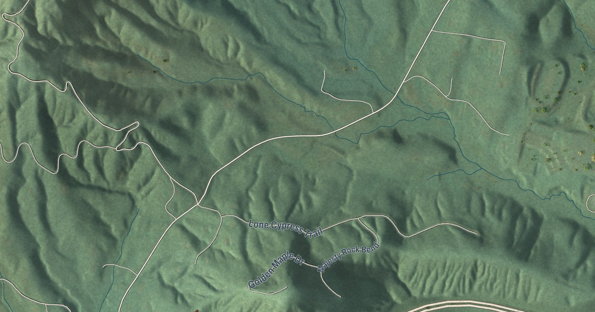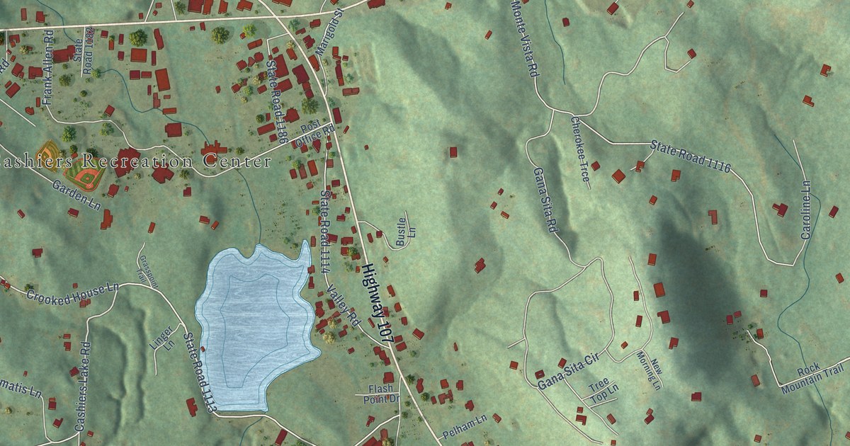
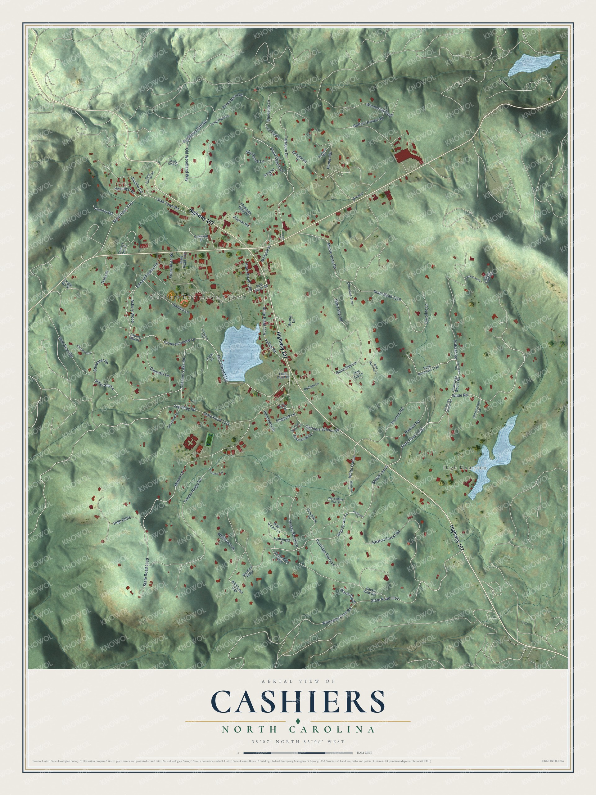
This beautifully detailed map of Cashiers, North Carolina was created in 2026 using aerial imagery combined with modern topographical, census, street and landmark data. It's a modern aerial view of Cashiers in Jackson County, North Carolina, that combines modern data with a vintage aesthetic. The roads feature printed names, and if you look closely you can find your exact house accurately shown in its correct location.
Explore an aerial view of Cashiers, North Carolina
On this map you'll find Cashiers Recreation Center, High Hampton, Highway 107, Wade Road, State Road 1118, Wild Flower Lane, Sheep Laurel, State Road 1117, Tarragon Drive, Cashiers Lake Road, State Road 1113, Crooked House Lane, and more. Each red shape is a building, so zoom in on the preview and look for yours.
Cashiers is a community in Jackson County. The Census Bureau counted 657 people here in 2020. Cashiers sits about 4 miles south of Glenville, 7 miles northeast of Highlands and 14 miles southeast of Forest Hills. The map prints the town name in its title panel, with the coordinates below it.
Take a closer look at the Cashiers map
Names on this map
These names are printed on this map.
Places: Cashiers Recreation Center and High Hampton.
Streets and roads: Highway 107, Wade Road, State Road 1118, Wild Flower Lane, Sheep Laurel, State Road 1117, Tarragon Drive, Cashiers Lake Road, State Road 1113, Crooked House Lane, State Road 1116, Hunter Road.
More street names, A to Z
Amethyst Drive, Asbury Wood, Asbury Woods, Belladonna Drive, Big Sheep Cliff Road, Blindside Lane, Brocaid, Buckle Road, Bustle Lane, Caroline Lane, Cashiers School Road, Chatooga Road, Chatooga Woods Road, Chattooga Woods Road, Cherokee Trce, Christopher Lane, Clematis Lane, Columbine Drive, Country Road, Crestwood Drive, Crystal Spring Trail, Dana Place, Dog Hobble Way, East Halsted Road, Edward Fowler Road, First Rate Road, Flapjack Lane, Flash Point Drive, Frank Allen Road, Gana Sita Circle, Gana Sita Road, Garden Lane, Goodwill Road, Gooseberry, Grasspoint Trail, Halsted Road, Halsted Road East, Haskell Road, Heaton Forest Road, High Cliffs, Horse Barn Road, Hydrangea Court, Lance Road, Linger Lane, Long Pond Lane, Marigold Street, Meadow Ridge, Mitten Lane, Monte Vista Road, New Morning Lane, Oakmont Street, Old Woodland Way, Panorama Trail, Partridge Berry Lane, Pelham Lane, Pilgrim Road, Plymouth Rock Road, Poinsettia Drive, Post Office Road, Preston Road, Rock Mountain Trail, Rock Springs Road, Ruffed Grouse Road, Shady Glen Drive, Silver Slip Lane, Sky Ranch Lane, Slab Town Road, Slacks View Road, Smokys Den Drive, Southwinds Lane, State Road 1107, State Road 1110, State Road 1111, State Road 1114, State Road 1141, State Road 1182, State Road 1186, Stillwater Road, Summer Place, Tangle Wood, Timber Ridge Road, Tiny Trail Drive, Tree Top Lane, Turkey Brush Lane, Valley Road, Wandering Ridge, Warm Ridge, West White Owl Lane, White Owl Lane, Whiteowl Lane, Whiteside Cove Road, Wildflower Drive, Wildflower Gap, Wildflower Lane, Wild Ginger Lane, Wild River Road, Zeb Alley Road.
See it on a wall
The Cashiers map as a framed print. Swipe for more.


Created by KNOWOL in 2026. The buildings are small red shapes, the roads carry their printed names, and shaded relief shows the shape of the land. The title panel reads "AERIAL VIEW OF CASHIERS, NORTH CAROLINA" with 35°07' NORTH 83°06' WEST.
It looks right in a kitchen, an office or a den, and it's a gift for anyone who grew up in Cashiers or moved away. Open the preview and find your street. See sizes and frames for the Cashiers map.