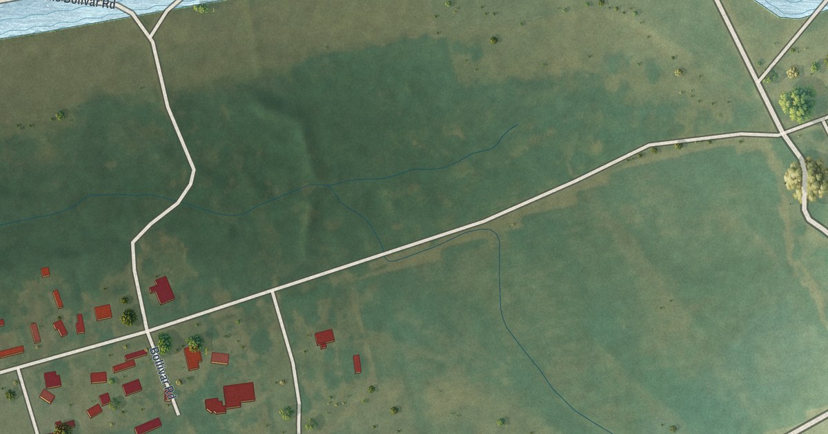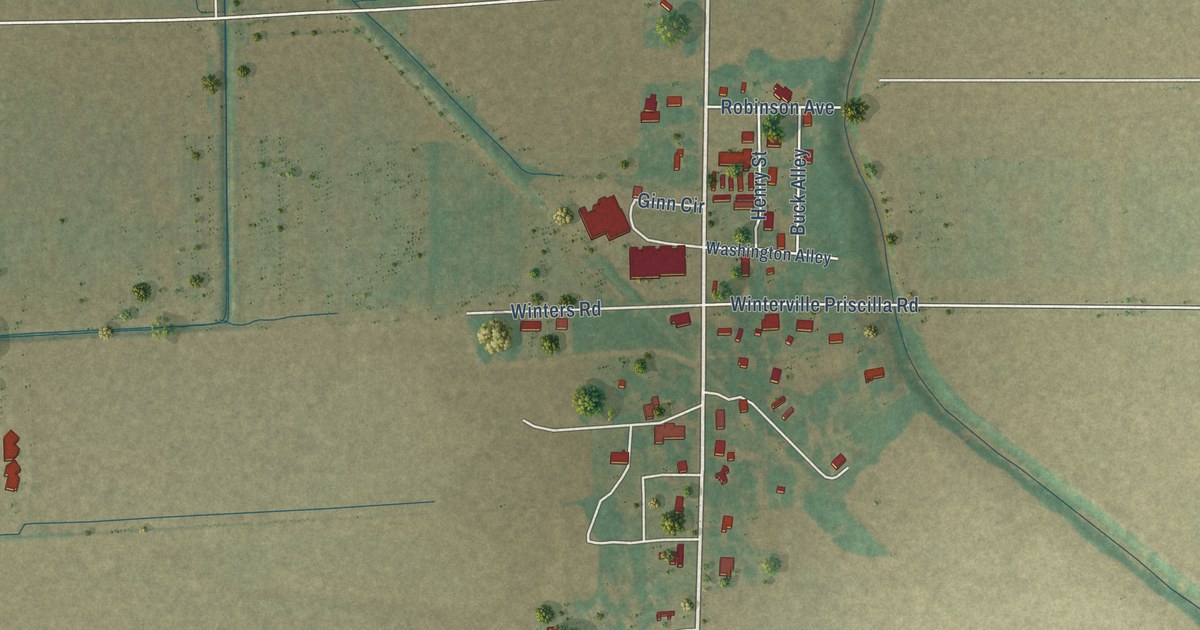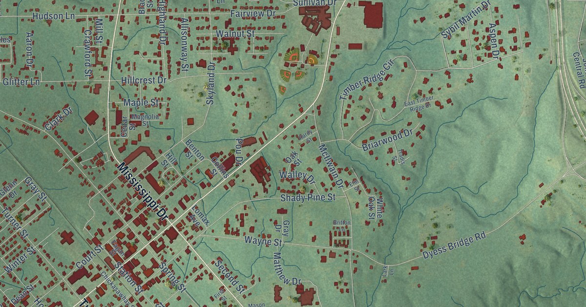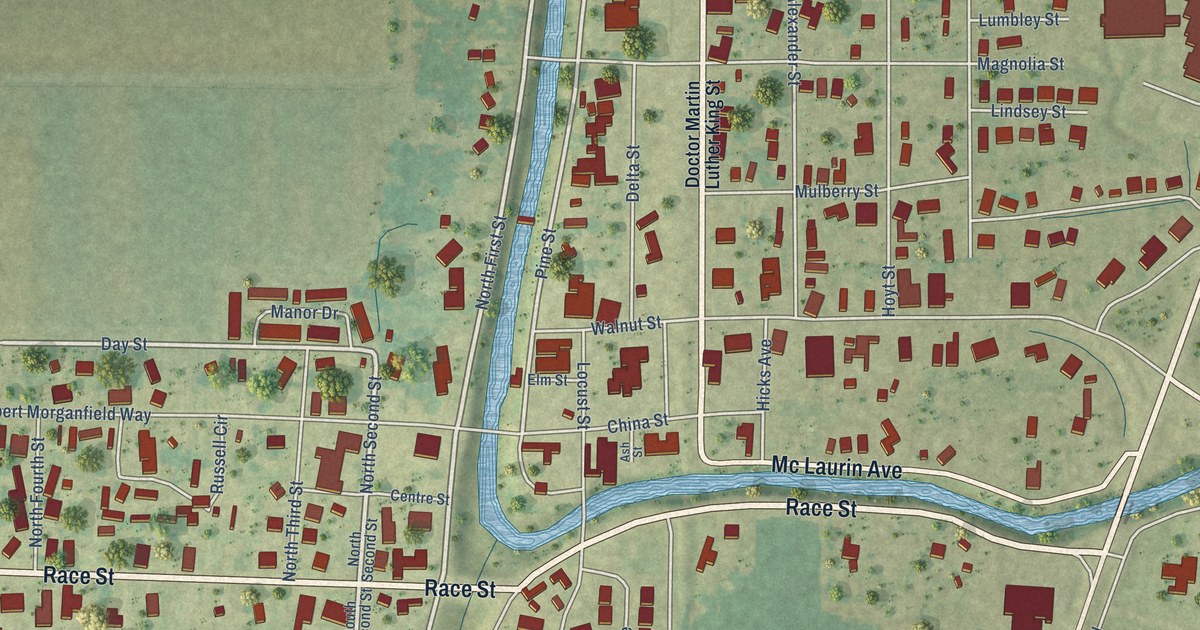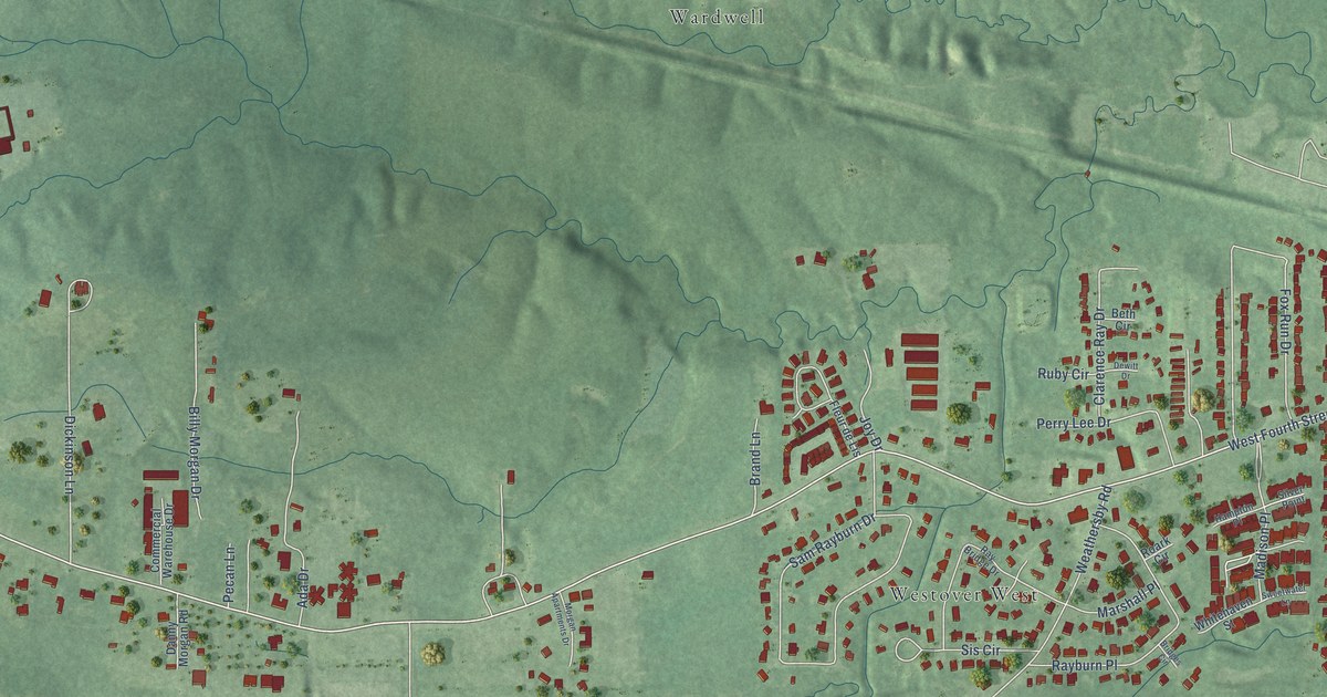
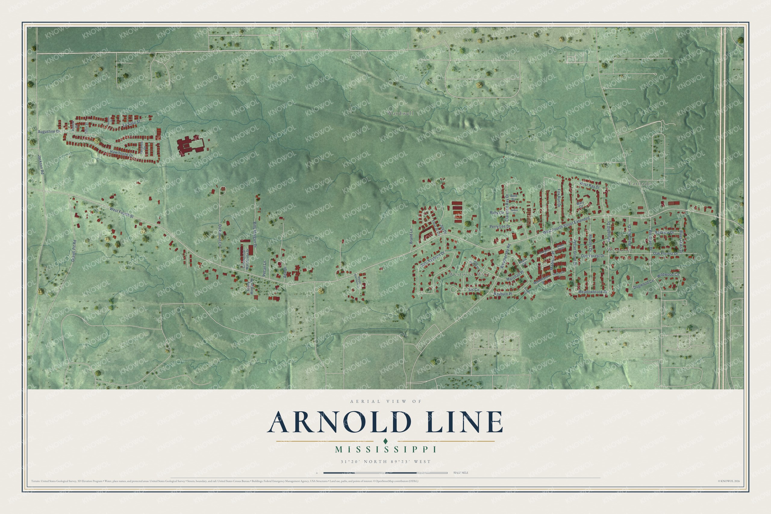
This beautifully detailed map of Arnold Line, Mississippi was created in 2026 using aerial imagery combined with modern topographical, census, street and landmark data. It's a modern aerial view of Arnold Line in Lamar County, Mississippi, that combines modern data with a vintage aesthetic. The roads feature printed names, and if you look closely you can find your exact house accurately shown in its correct location.
Explore an aerial view of Arnold Line, Mississippi
On this map you'll find Westover, Wardwell, Westover West, Varnado, West Fourth Street Extended, Meadowbrook Drive, West Fourth Street, Sam Rayburn Drive, Hawthorne Drive, Augustine Drive, Fox Run Drive, West Ray Drive, and more. Each red shape is a building, so zoom in on the preview and look for yours.
Arnold Line is a community in Lamar County. The Census Bureau counted 2,333 people here in 2020. Arnold Line sits about 2 miles north of West Hattiesburg, 3 miles south of Rawls Springs and 4 miles northwest of Hattiesburg. The map prints the town name in its title panel, with the coordinates below it.
Take a closer look at the Arnold Line map
Names on this map
These names are printed on this map.
Places: Westover, Wardwell, Westover West and Varnado.
Streets and roads: West Fourth Street Extended, Meadowbrook Drive, West Fourth Street, Sam Rayburn Drive, Hawthorne Drive, Augustine Drive, Fox Run Drive, West Ray Drive, Dickinson Lane, Oak Forrest Drive, Westover Drive, Rayburn Place.
More street names, A to Z
Ada Drive, Bayview Drive, Beth Circle, Billy Morgan Drive, Brand Lane, Brenton Street, Bridges Circle, Clarence Ray Drive, Commercial Warehouse Drive, Danny Morgan Road, Dewitt Drive, Dogwood Cv, Fleur de Lis, Gravel Pit Road, Hampton Place, Jackson Road, Joy Drive, La Salle Street, Madison Place, Marshall Place, Mary Circle, Morgan Apartments Drive, Oak Forest Drive, Pecan Grove Drive, Pecan Lane, Perry Lee Drive, Ray Bridge Drive, Rhodes Drive, River Oaks Drive, Roark Circle, Ruby Circle, Silver Point, Sis Circle, Springhill Drive, Sweetwater Lane, Tiffin Street, Venice Drive, Veranda Drive, Weathersby Road, West Hills Drive, Whitehaven Street, Wildwood Circle.
See it on a wall
The Arnold Line map as a framed print. Swipe for more.


Created by KNOWOL in 2026. The buildings are small red shapes, the roads carry their printed names, and shaded relief shows the shape of the land. The title panel reads "AERIAL VIEW OF ARNOLD LINE, MISSISSIPPI" with 31°20' NORTH 89°23' WEST.
Hang it in the hallway, the office or the cabin, or give it to someone who left Arnold Line and still calls it home. Open the preview and look for a street you know. See sizes and frames for the Arnold Line map.