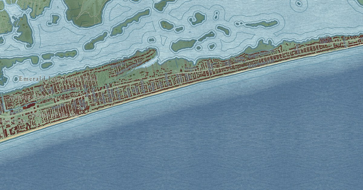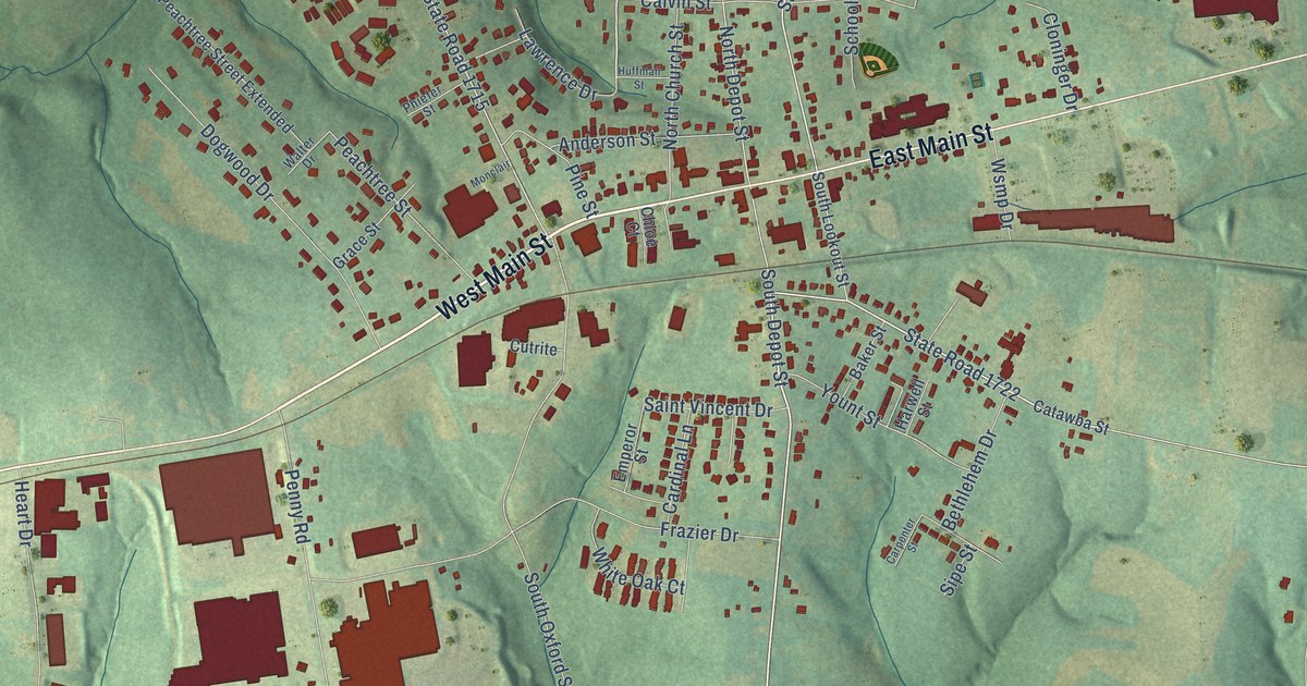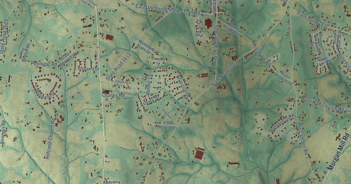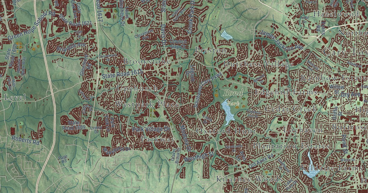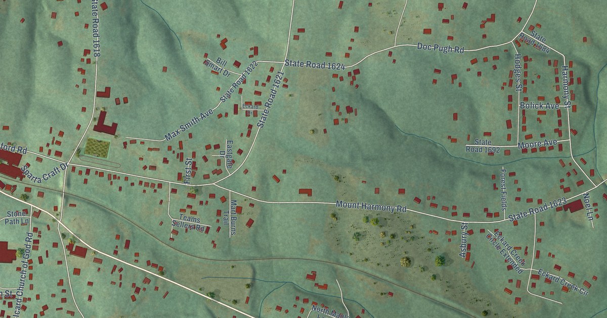
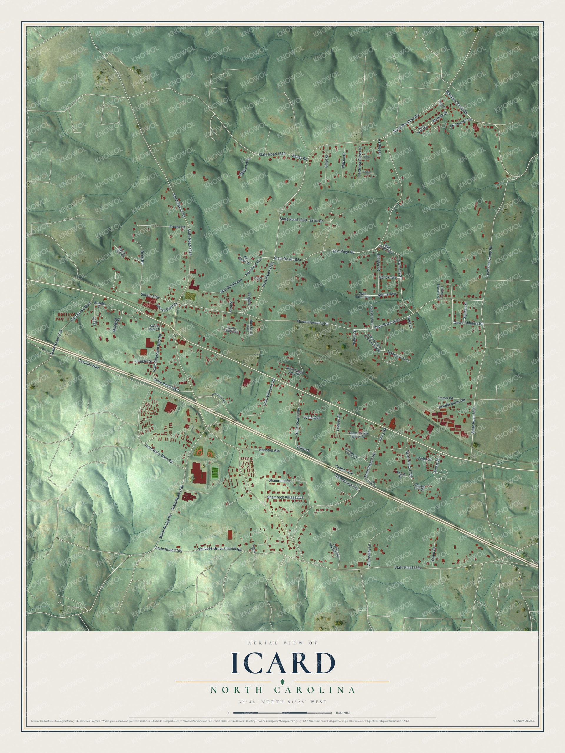
This beautifully detailed map of Icard, North Carolina was created in 2026 using aerial imagery combined with modern topographical, census, street and landmark data. It's a modern aerial view of Icard in Burke County, North Carolina, that combines modern data with a vintage aesthetic. The roads feature printed names, and if you look closely you can find your exact house accurately shown in its correct location.
Explore an aerial view of Icard, North Carolina
On this map you'll find Icard Dairy Barn Road, Muddy Road, Oliver Childers Road, State Road 1627, Warlick Church Road, State Road 1761, State Road 1621, Icard Rhodhiss Road, Texs Fish Camp Road, Mount Harmony Road, State Road 1623, Doc Pugh Road, and more. Each red shape is a building, so zoom in on the preview and look for yours.
Icard is a community in Burke County. The Census Bureau counted 2,452 people here in 2020. Icard sits about 2 miles west of Hildebran, 3 miles southeast of Connelly Springs and 3 miles southwest of Rhodhiss. The map prints the town name in its title panel, with the coordinates below it.
Take a closer look at the Icard map
Names on this map
These names are printed on this map.
Streets and roads: Icard Dairy Barn Road, Muddy Road, Oliver Childers Road, State Road 1627, Warlick Church Road, State Road 1761, State Road 1621, Icard Rhodhiss Road, Texs Fish Camp Road, Mount Harmony Road, State Road 1623, Doc Pugh Road.
More street names, A to Z
Abernethy Lane, Annas Street, Asbury Street, Bailey Road, Berry Road, Bill Smart Drive, Bolick Avenue, Brindle Drive, Carl Mull Road, Cavalier Way, Cedar Street, Childers Nursery Circle, Cramer Road, East Burke Boulevard, Eastgate Drive, Eckard Creek Circle, Eckard Creek Circle Extended, Eckard Drive, Ervin Drive, Ethel Street, Evans Avenue, Evans Drive, Fieldview Acres Drive, First Street, Forest Fields, Franklin Street, Freedom Drive, Greenhouse Avenue, Grover Evans Senior Road, Hamp Stilwell Road, Harmony Street, Hodges Street, Houston Avenue, Icard Church of God Road, Icard School Road, Ingram Street, John Williams Road, Joseph Burns Road, Lewis Townsen Road, Lockee Street, Mart Burns Trail, Max Smith Avenue, Miller Bridge Road, Moore Avenue, Noel Lane, North Maple Lane Street, Payton Lane, Peach Street, Propst Lane, Reep Road, Shamrock Drive, Shamrock Village Avenue, Shoupes Grove Church Road, Shuford Road, Sigmon Street, Spann Hill Road, Sparta Craft Drive, State Road 1618, State Road 1619, State Road 1622, State Road 1624, State Road 1659, State Road 1684, State Road 1692, State Road 1697, State Road 1759, State Road 1764, State Road 1765, State Road 1766, State Road 1785, State Road 1786, State Road 1823, Stonehenge Avenue, Stone Path Lane, Sunset Grill Street, Teague Avenue, Teams Sellers Road, Tom Smith Avenue, Treetop Lane, Warlick Drive, Warlick Lane, Whispering Breeze Lane, Wildwood Lane, Wilson Drive, Yoder Street.
See it on a wall
The Icard map as a framed print. Swipe for more.


Created by KNOWOL in 2026. The buildings are small red shapes, the roads carry their printed names, and shaded relief shows the shape of the land. The title panel reads "AERIAL VIEW OF ICARD, NORTH CAROLINA" with 35°44' NORTH 81°28' WEST.
Hang it in the hallway, the office or the cabin, or give it to someone who left Icard and still calls it home. Open the preview and look for a street you know. See sizes and frames for the Icard map.