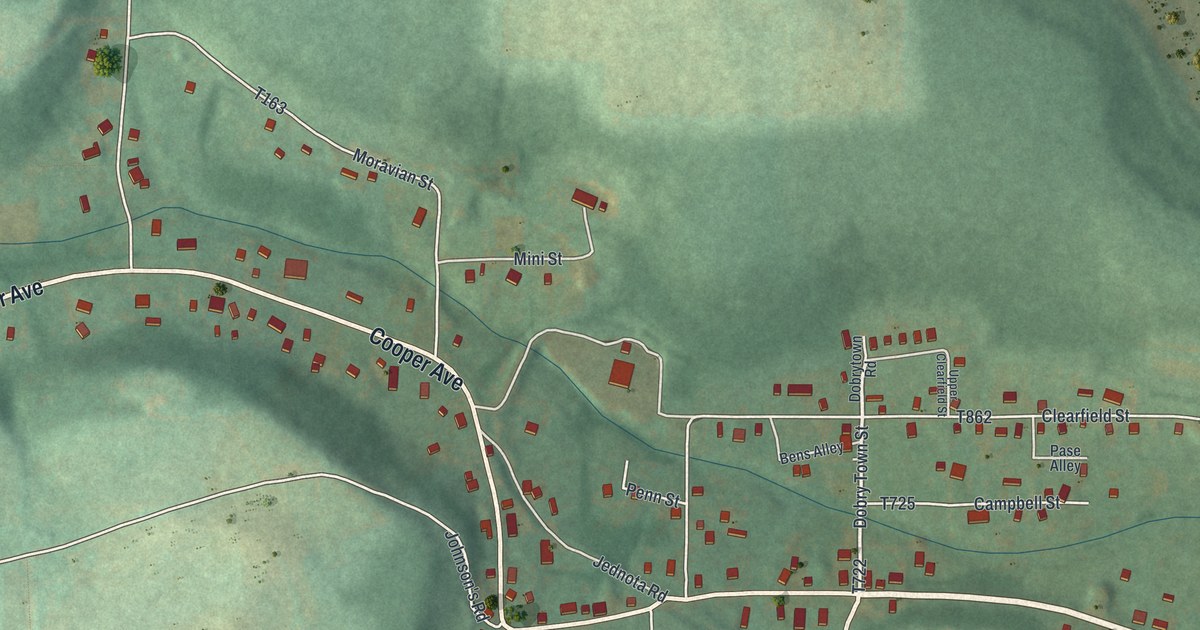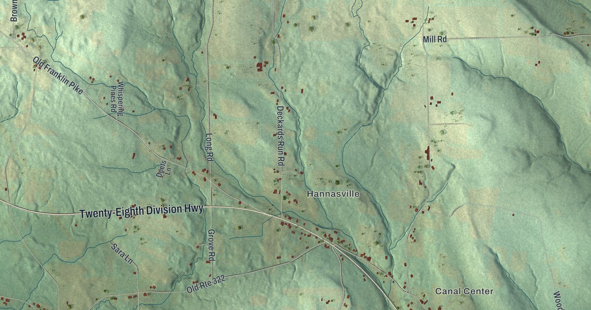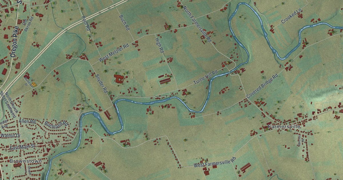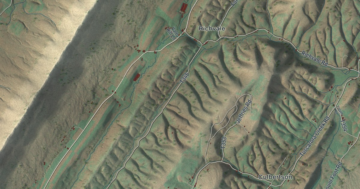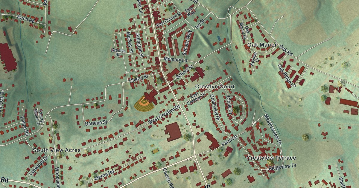
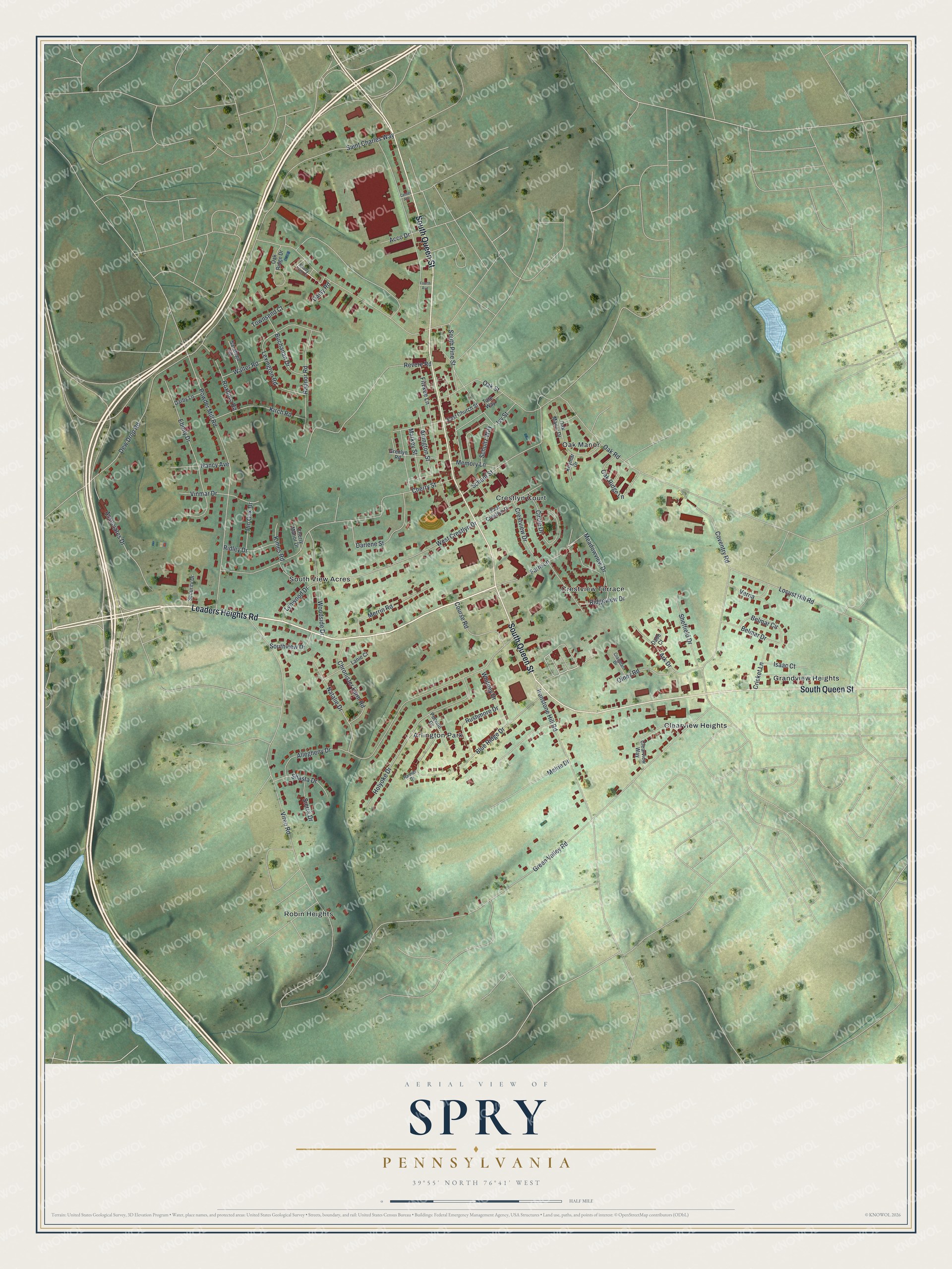
This beautifully detailed map of Spry, Pennsylvania was created in 2026 using aerial imagery combined with modern topographical, census, street and landmark data. It's a modern aerial view of Spry in York County, Pennsylvania, that combines modern data with a vintage aesthetic. The roads feature printed names, and if you look closely you can find your exact house accurately shown in its correct location.
Explore an aerial view of Spry, Pennsylvania
On this map you'll find Arlington Park, Oak Manor, Robin Heights, Clearview Heights, South View Acres, Grandview Heights, Crestview Terrace, Crestlyn Court, Leaders Heights Road, South Queen Street, Green Valley Road, Dew Drop Road, and more. Each red shape is a building, so zoom in on the preview and look for yours.
Spry is a community in York County. The Census Bureau counted 5,237 people here in 2020. Spry sits about 2 miles south of Queens Gate, 2 miles northeast of Jacobus and 3 miles west of Dallastown. The map prints the town name in its title panel, with the coordinates below it.
Take a closer look at the Spry map
Names on this map
These names are printed on this map.
Places: Arlington Park, Oak Manor, Robin Heights, Clearview Heights, South View Acres, Grandview Heights, Crestview Terrace and Crestlyn Court.
Streets and roads: Leaders Heights Road, South Queen Street, Green Valley Road, Dew Drop Road, Vireo Road, Cherry Street, Allegheny Drive, Powder Mill Road, Coventry Road, Locust Hill Road, Blue Ridge Drive, Saint Charles Way.
More street names, A to Z
Acco Drive, Ark Drive, Arlington Street, Associates Drive, Belmar Circle, Belmar Drive, Buchanan Drive, Center Avenue, Cherry Manor Drive, Chronister Farm Road, Circle Drive, Clearview Way, Course Road, Craigdan Drive, Crestview Drive, Cricket Lane, Dade Court, Daisy Road, Darby Lane, Darlene Street, East Church Street, East Crestlyn Drive, Ebony Drive, Farm Lane, Fitzkee Lane, Fourth Avenue, Grenlyn Road, Holyoke Drive, Ironstone Hill Road, Isaac Court, Ivy Street, Keymar Drive, Kimes Road, Kirch Road, Lanie Court, Lexington Road, Lynwood Drive, Markey Street, Meadowview Drive, Melrie Drive, Memory Lane, Merrin Road, Nancy Avenue, Natalie Drive, Oak Manor Drive, Oak Ridge Drive, Oak Ridge Lane, Oak Road, Oak Street, Olney Road, Pin Oak Drive, Pocono Drive, Radnor Road, Rainier Drive, Revere Road, Ridgeview Drive, Ridley Drive, Roxboro Road, Rushmore Drive, Saratoga Road, School Street, Schultz Way, Security Drive, Shady Tree Court, Shasta Drive, Sheffield Drive, Sierra Drive, South Pine Street, Southview Drive, Tate Way, Townsend Court, Verna, Vinmar Drive, Walter Road, West Crestlyn Drive, Whitney Drive, Woodside Drive.
See it on a wall
The Spry map as a framed print. Swipe for more.


Created by KNOWOL in 2026. The buildings are small red shapes, the roads carry their printed names, and shaded relief shows the shape of the land. The title panel reads "AERIAL VIEW OF SPRY, PENNSYLVANIA" with 39°55' NORTH 76°41' WEST.
It looks right in a kitchen, an office or a den, and it's a gift for anyone who grew up in Spry or moved away. Open the preview and find your street. See sizes and frames for the Spry map.