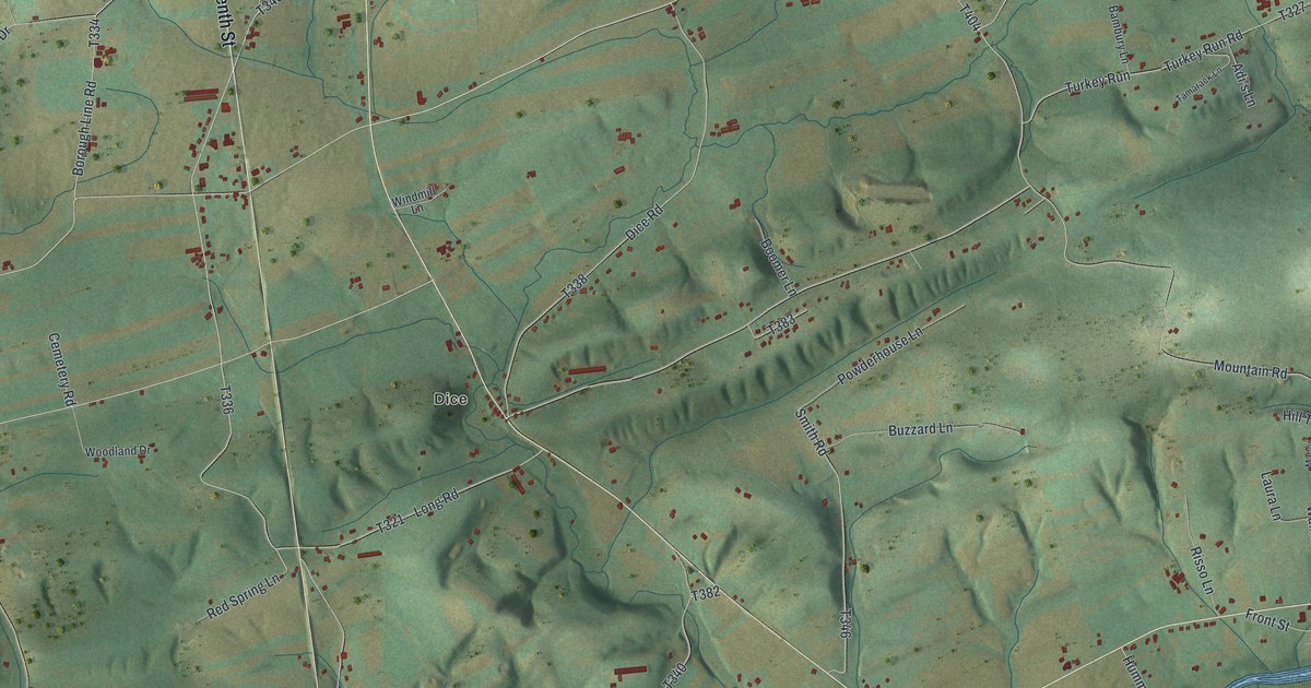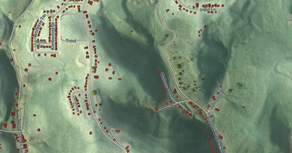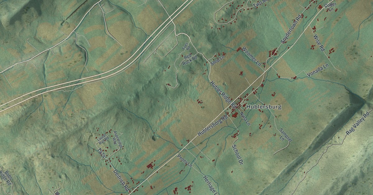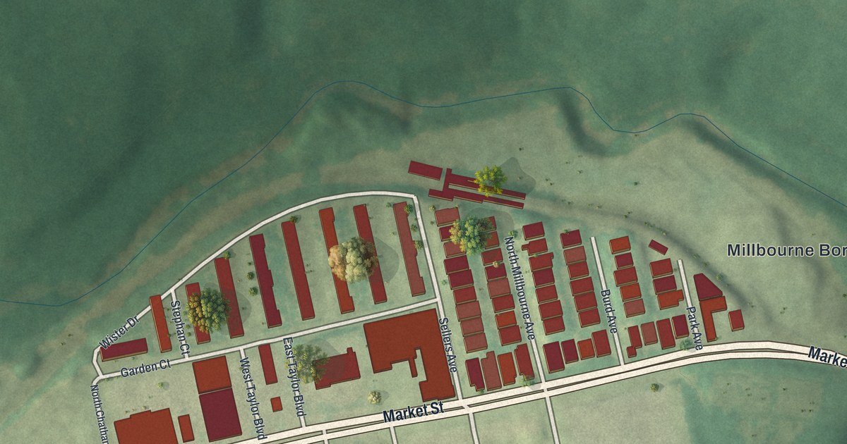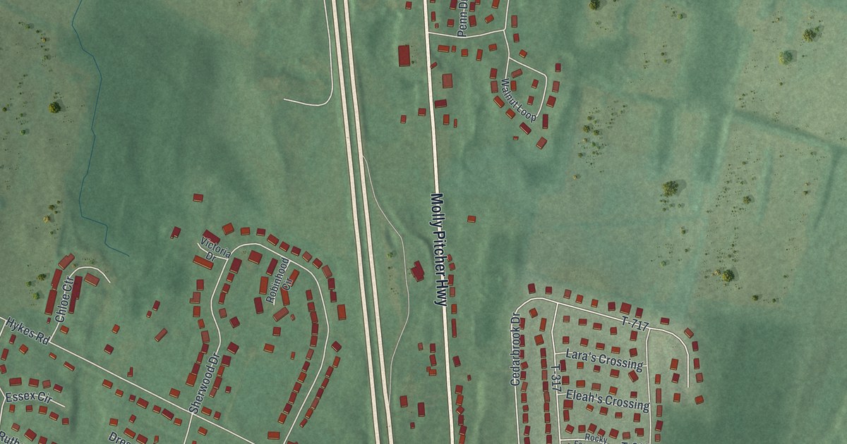
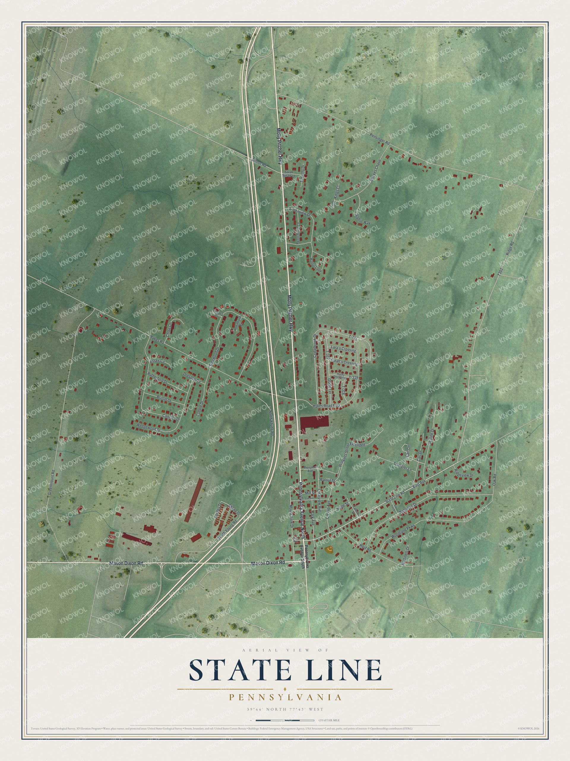
This beautifully detailed map of State Line, Pennsylvania was created in 2026 using aerial imagery combined with modern topographical, census, street and landmark data. It’s a one-of-a-kind view of State Line that combines accurate data with a vintage aesthetic. The map shows every building in its true location, many of the roads carry their names, and the shaded topographic relief shows the shape of the land.
Explore an aerial view of State Line, Pennsylvania
On the map you’ll find Molly Pitcher Highway, Pennsylvania Avenue North, Mason Dixon Road, State Line Road, Mount View Drive, Shane Drive, Ridge Road, Pensinger Road, Greenmount Road, Hykes Road, East Avenue, and more. State Line sits about 4 miles south of Greencastle, 8 miles west of Waynesboro and 9 miles south of Marion. If you look closely you can even find your house accurately drawn in its correct location. Zoom in on the preview to look for yours.
Did You Know?
The village at the state line was once called Middleburg, and before that Spiglersburg. Jacob Strickler founded it in 1812, and the name Middleburg came from its place halfway between Greencastle and Hagerstown. Jack Wolgamot, the first settler, was said to have built his house right on the line, half in Maryland and half in Pennsylvania. After a new swing of the line, the house turned out to be in Maryland, with only the chimney in Pennsylvania. That's from the 1887 History of Franklin County.
Take a closer look at the State Line map
Names on this map
These names are printed on this map.
Streets and roads: Molly Pitcher Highway, Pennsylvania Avenue North, Mason Dixon Road, State Line Road, Mount View Drive, Shane Drive, Ridge Road, Pensinger Road, Greenmount Road, Hykes Road, East Avenue, T-717.
More street names, A to Z
Alphin Way, Bristol Drive, Camden Drive, Carl Circle, Carl Drive, Cedarbrook Drive, Chloe Ctr, Choxes Chase, Clearview Avenue, Cobble Drive, Cresap Avenue, Dresden Circle, Eleah's Crossing, Essex Circle, Glade Terrace, Greenview Drive, Hade Street, Hykes Road East, Kings Court, Lara's Crossing, Locust Street, Martinelli Drive, Mill Street, Milnor Road, North Young Road, Oak Road, Oak Tree Drive, Park Avenue, Penn Dixie Lane, Pennsylvania Avenue South, Prospect Avenue, Prospect Street Extended, Queens Court, Redwood Drive, Reid Road, Ridgeview Drive, Robinhood Circle, Rocky Fountain Drive, Rutherford Drive, Sarah Susan Lane, Shelley Drive, Sherwood Drive, Skyline Drive, South Young Road, Spangler Lane, T-317, T-318, T-319, Talhelm Street, Timothy Drive, Victoria Drive, Walnut Loop, Walnut Street, Wedgewood Drive, West Avenue, Woodland Parkway.
See it on a wall
The State Line map as a framed print. Swipe for more.


This beautifully detailed map of State Line makes an attractive addition to your office, library, or den, and it can even be used to teach children the geography and history of the area. It also makes a great gift for anyone with State Line roots. When you’re done exploring, click here to get your copy of the State Line map.