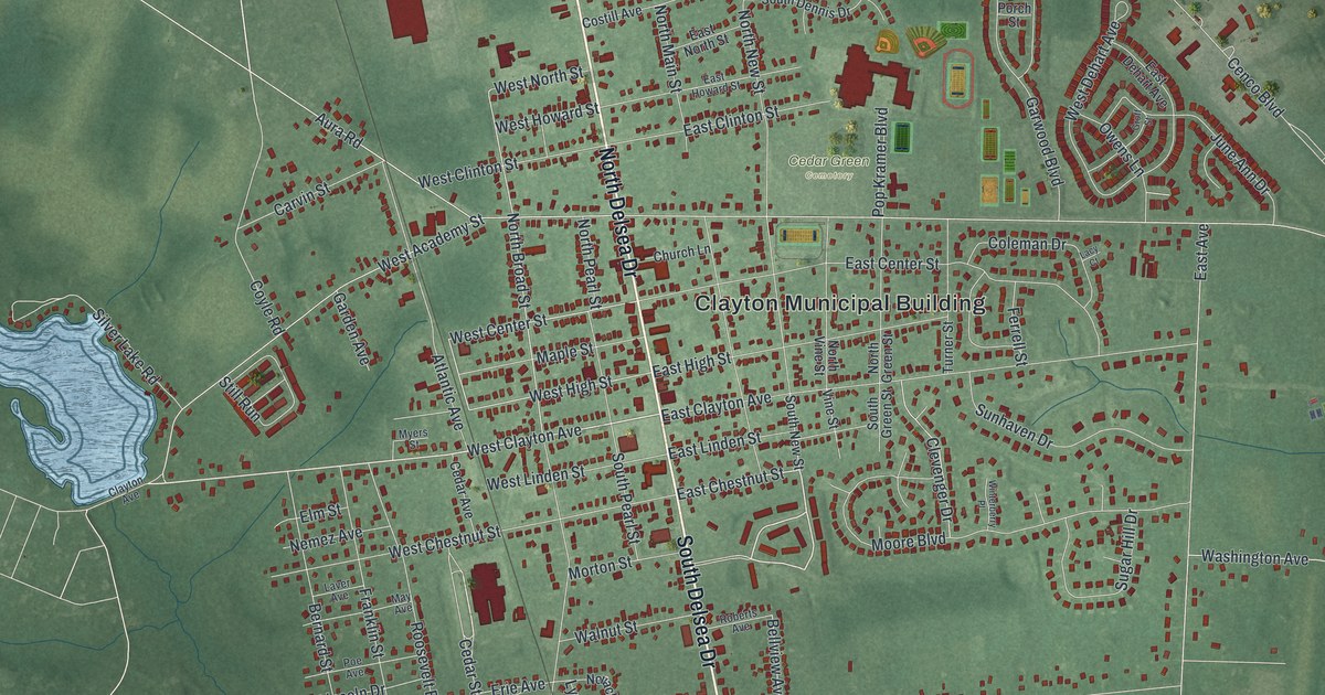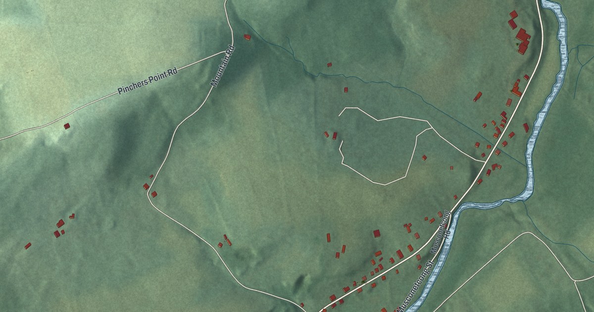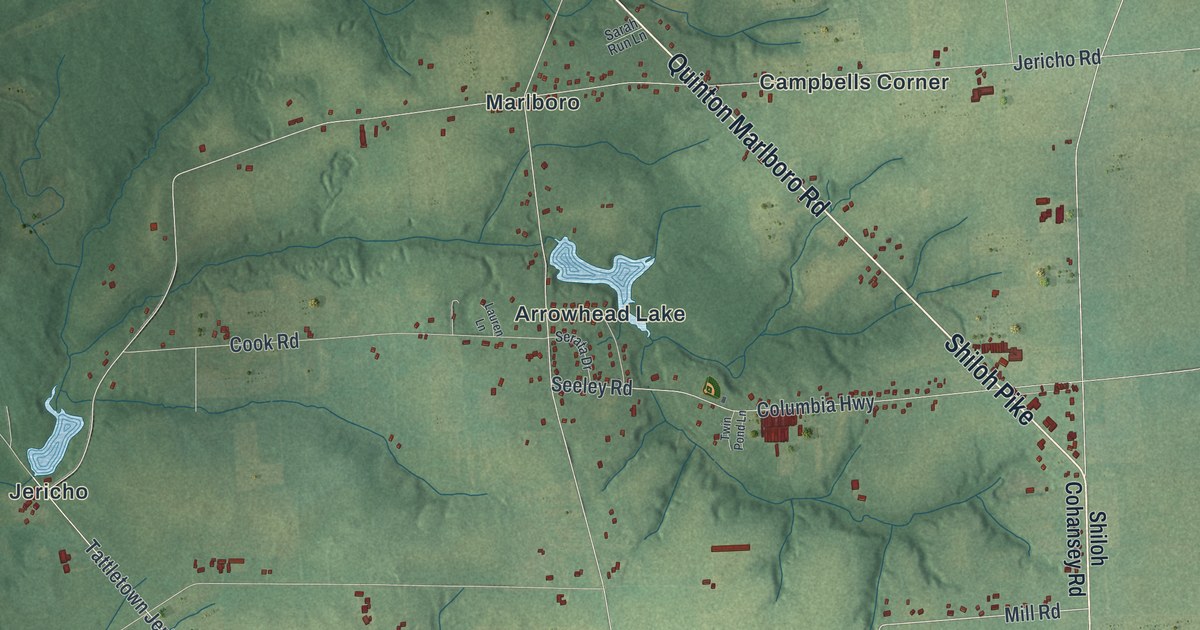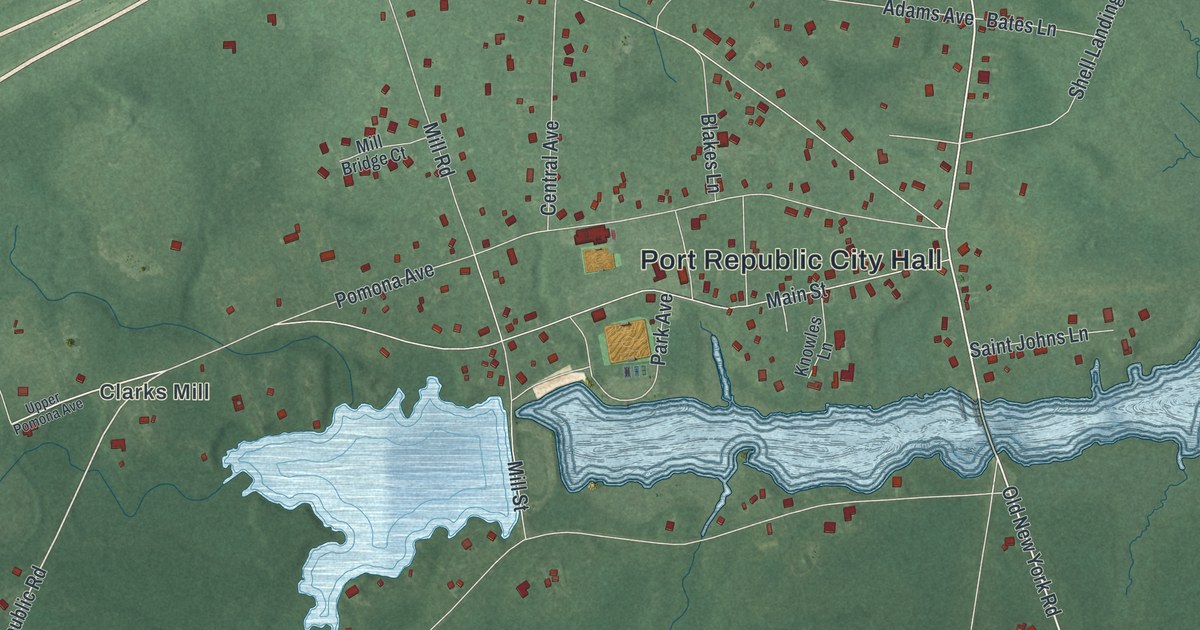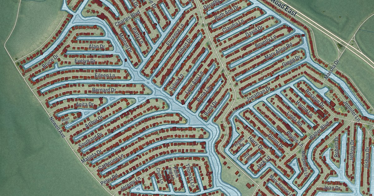
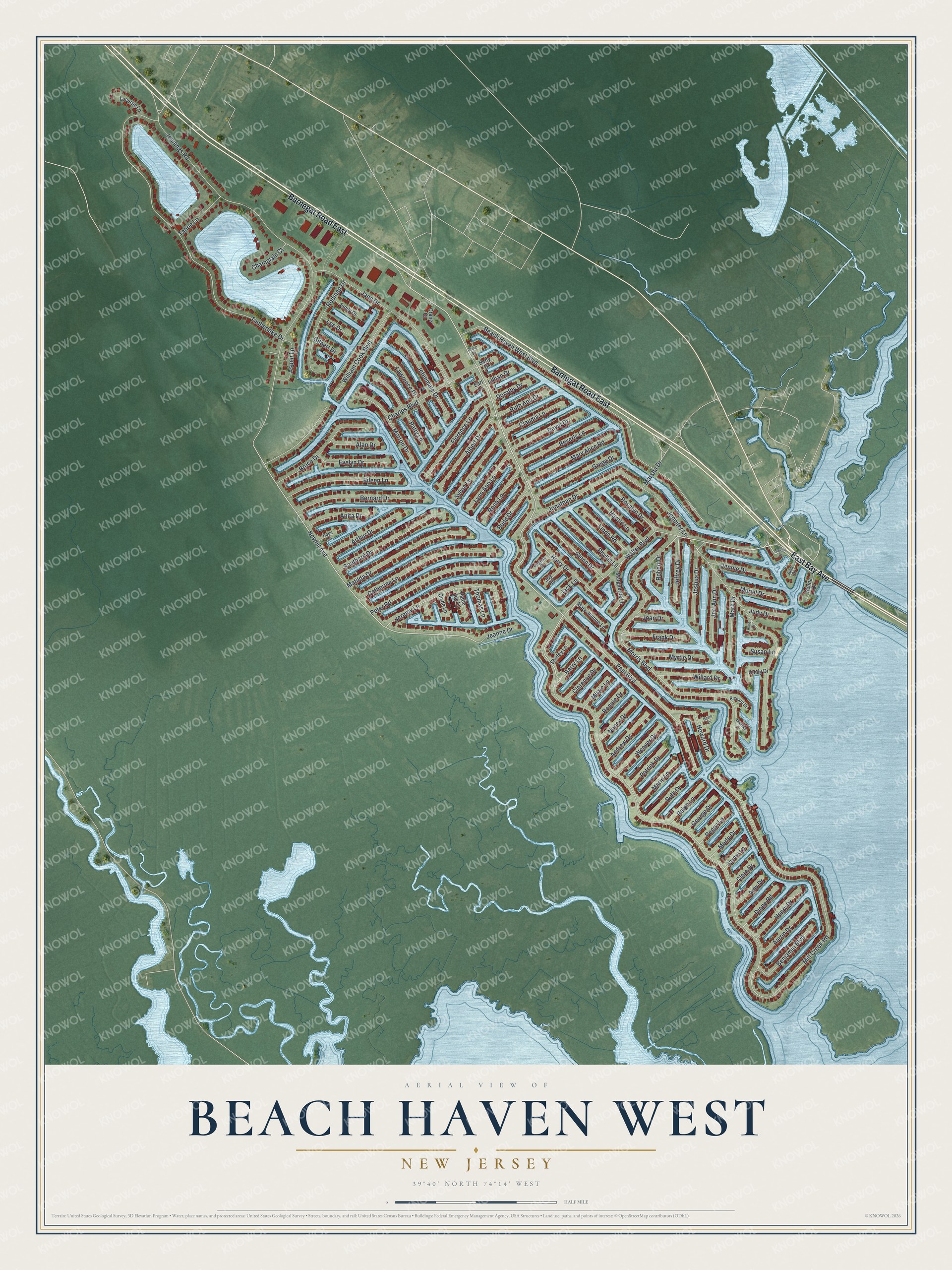
This beautifully detailed map of Beach Haven West, New Jersey was created in 2026 using aerial imagery combined with modern topographical, census, street and landmark data. It’s a one-of-a-kind view of Beach Haven West that combines accurate data with a vintage aesthetic. The map shows every building in its true location, many of the roads carry their names, and the shaded topographic relief shows the shape of the land.
Explore an aerial view of Beach Haven West, New Jersey
On the map you’ll find Barnegat Road East, East Bay Avenue, Morris Boulevard, Mill Creek Road, Newell Avenue, Jennings Road, Jennifer Lane, Beach Haven West Boulevard, Timberlake Drive, Paul Boulevard, Jane Drive, William Cook Boulevard, and more. Beach Haven West sits about 3 miles northwest of Ship Bottom, 3 miles west of Surf City and 5 miles north of North Beach Haven. If you look closely you can even find your house accurately drawn in its correct location. Zoom in on the preview to look for yours.
Did You Know?
Beach Haven West was built on the Remsen meadows, some 500 acres of meadows and marshland in Stafford Township. Developer Herbert Shapiro and his brother Jerry bought the land as the only bidder at an advertised sale, built sod banks from the meadow sod to hold the fill, and opened their first model home on Selma Drive. That's from the memoir of developer Herbert L. Shapiro.
Take a closer look at the Beach Haven West map
Names on this map
These names are printed on this map.
Streets and roads: Barnegat Road East, East Bay Avenue, Morris Boulevard, Mill Creek Road, Newell Avenue, Jennings Road, Jennifer Lane, Beach Haven West Boulevard, Timberlake Drive, Paul Boulevard, Jane Drive, William Cook Boulevard.
More street names, A to Z
Aaron Drive, Alan Drive, Albert Drive, Amy Drive, Andrew Drive, Anita Drive, Anne Lane, Arthur Drive, Aspen Lane, Barry Lane, Beatrice Drive, Benjamin Boulevard, Bernard Drive, Betty Drive, Beverly Lane, Bruce Drive, Budd Drive, Catherine Lane, Champlain Court, Charles Boulevard, Cindy Drive, Clara Drive, Clarence Drive, Claudia Lane, Clyde Lane, Crane Court, David Drive, Diane Road, Dorothy Drive, Earl Lane, Eileen Lane, Emily Drive, Evelyn Drive, Florence Lane, Frank Drive, George Drive, Gilbert Drive, Glenn Drive, Grace Drive, Gregg Drive, Harold Lane, Harry Drive, Henry Drive, Hope Lane, Howard Drive, Jack Lane, Jarmy Lane, Jeanne Drive, Jeffrey Drive, Jennie Drive, Jeremy Lane, Jeri Ann Drive, Jeteemale Drive, Joan Drive, Jonathan Drive, Joshua Drive, Joy Road, Judy Drive, Julia Drive, Kevin Lane, Lawrence Drive, Lee Drive, Lillian Drive, Linda Road, Lucerne Lane, Lynn Ann Lane, Marguerite Lane, Marin Lane, Mark Drive, Marsha Drive, Mary Alice Road, Mary Jeanne Lane, Matilda Drive, Merle Drive, Mitzie Lane, Morton Drive, Muriel Drive, Myrtle Drive, Nancy Drive, Patrick Drive, Pattie Joe Lane, Patty Lane, Peggy Lane, Peter Road, Phyllis Lane, Ralph Lane, Richard Drive, Robert Drive, Rodman Drive, Rona Lane, Ronnie Drive, Rosalyn Drive, Ruth Ann Drive, Ruth Drive, Selma Drive, Shirley Lane, Southard Drive, Steven Drive, Susan Lane, Sylvia Lane, Tahoe Lane, Thomas Lane, Virginia Drive, Walter Boulevard, Weaver Drive, Willard Drive.
See it on a wall
The Beach Haven West map as a framed print. Swipe for more.


This beautifully detailed map of Beach Haven West makes an attractive addition to your office, library, or den, and it can even be used to teach children the geography and history of the area. It also makes a great gift for anyone who grew up in Beach Haven West or moved away. When you’re done exploring, click here to get your copy of the Beach Haven West map.