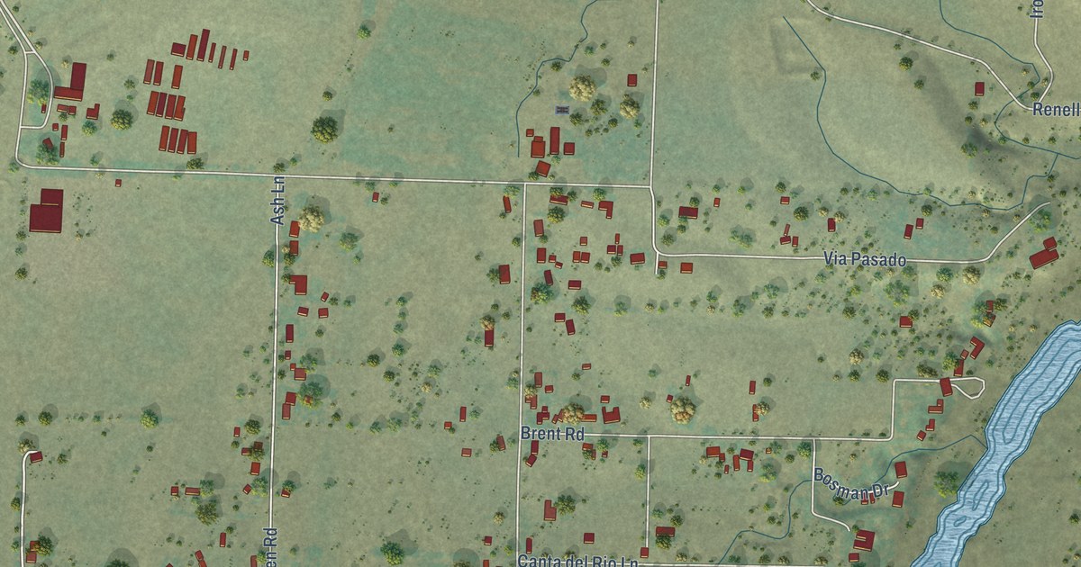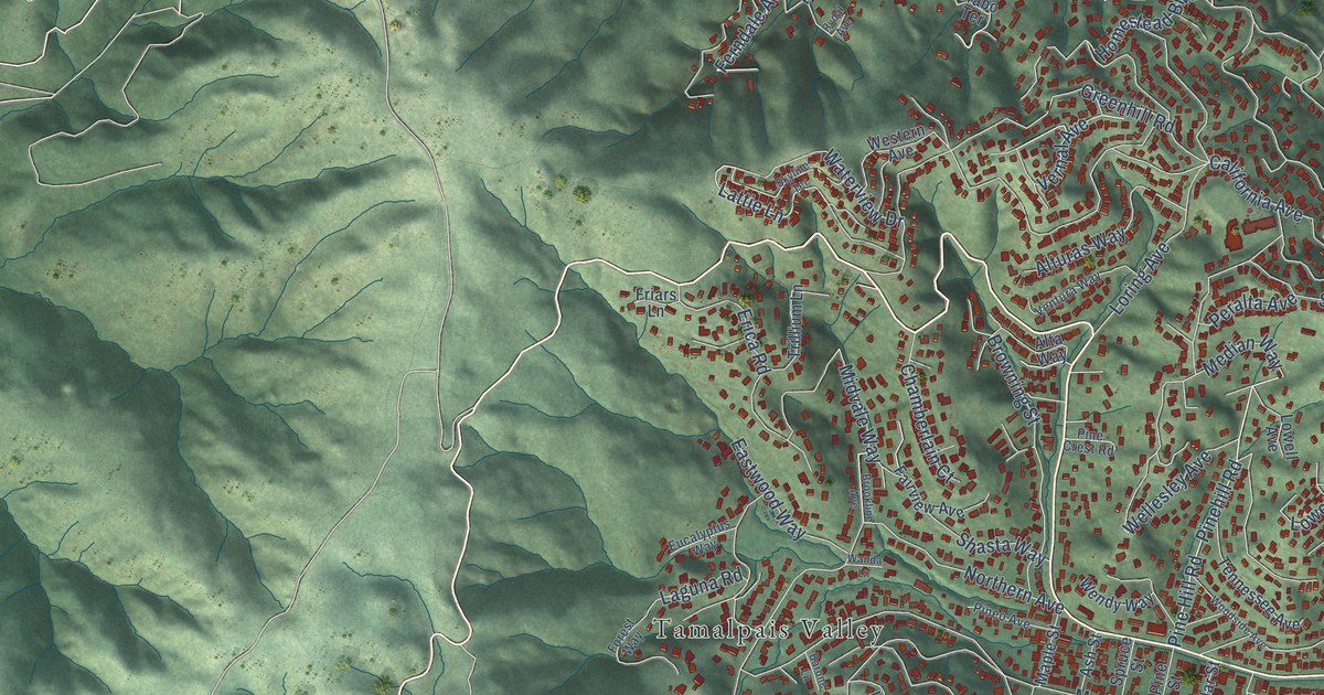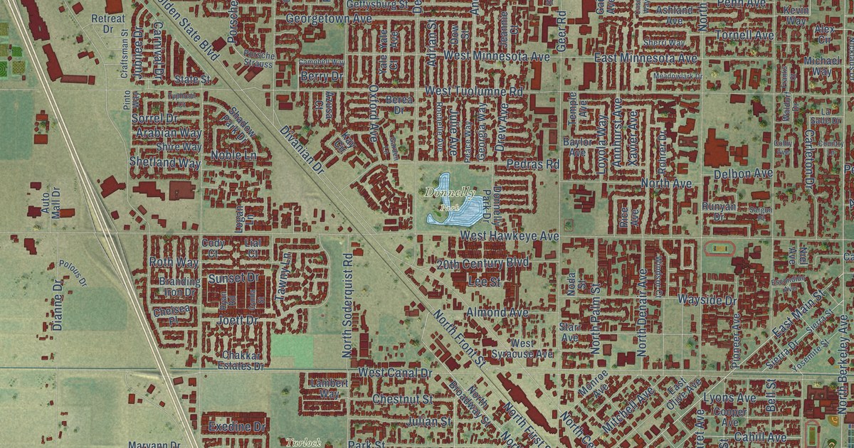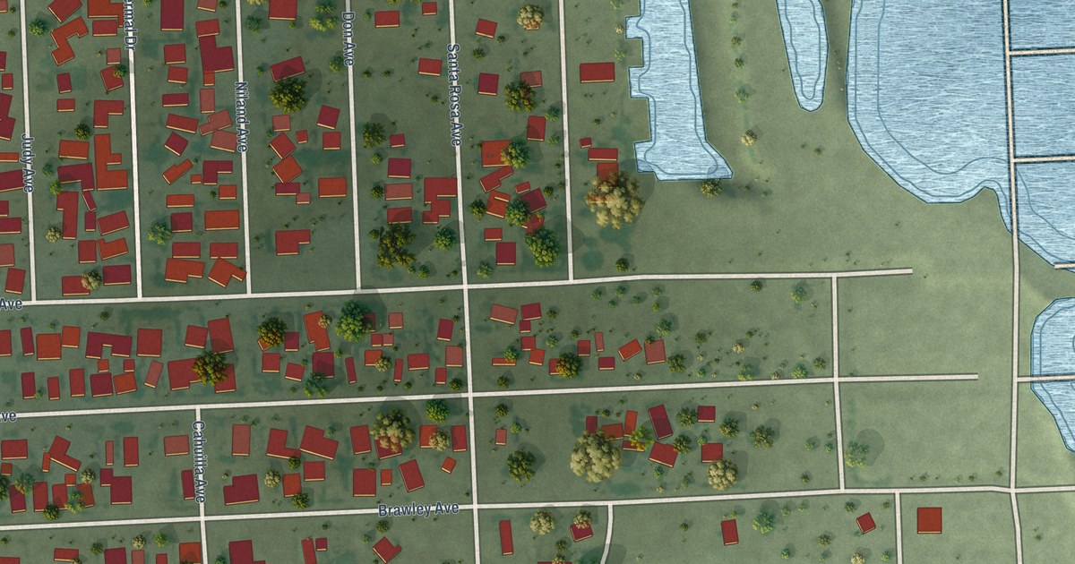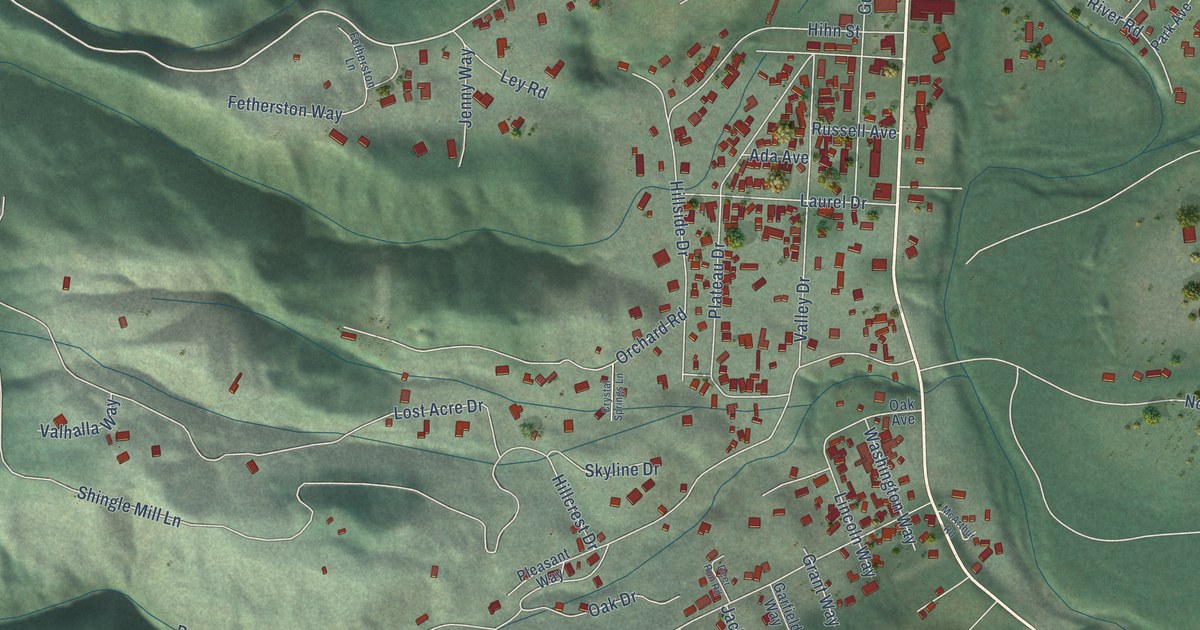
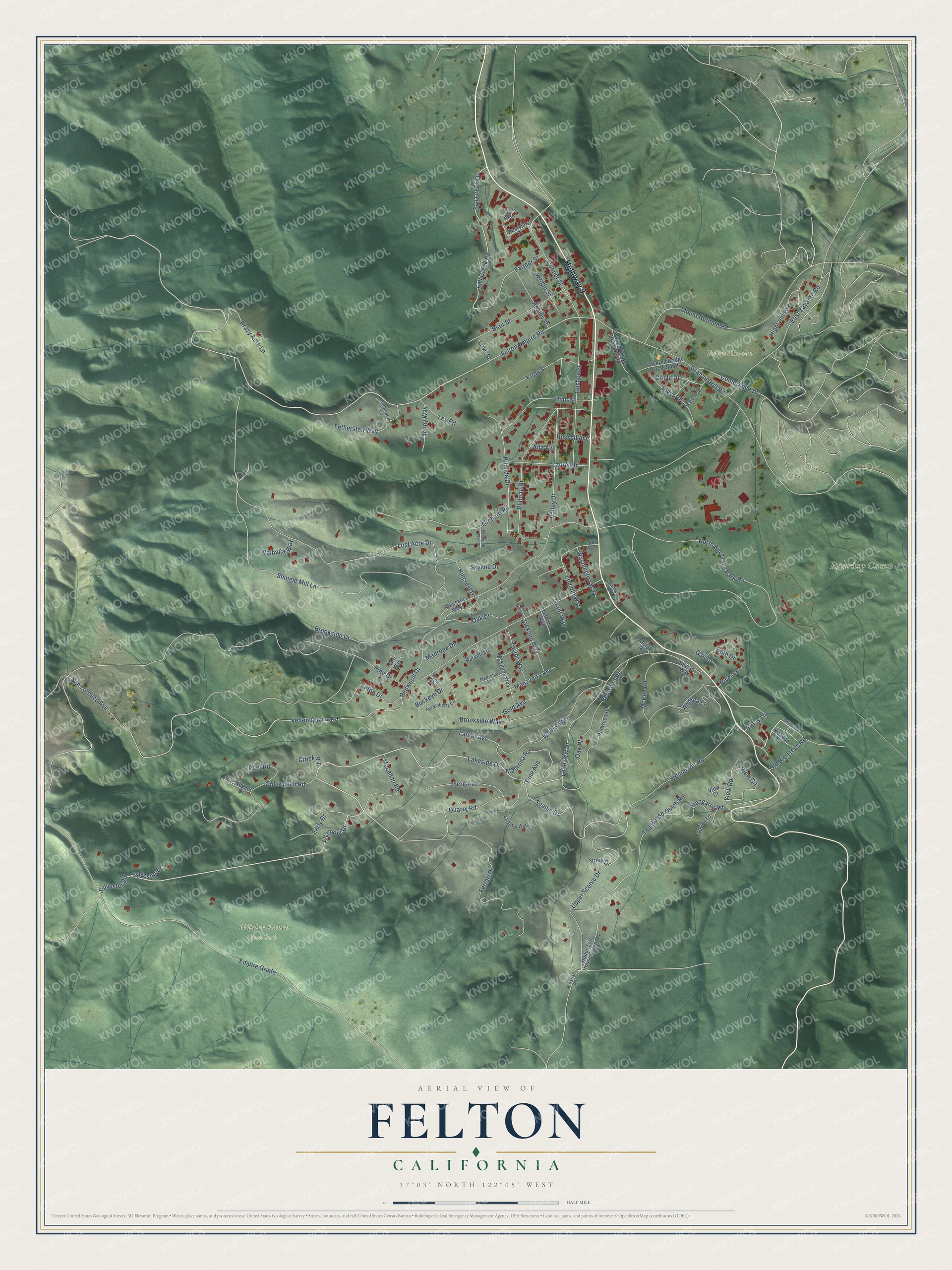
This beautifully detailed map of Felton, California was created in 2026 using aerial imagery combined with modern topographical, census, street and landmark data. It's a modern aerial view of Felton in Santa Cruz County, California, that combines modern data with a vintage aesthetic. The roads feature printed names, and if you look closely you can find your exact house accurately shown in its correct location.
Explore an aerial view of Felton, California
On this map you'll find Felton Meadow, Roaring Camp, Wilder Ranch State Park, Highway 9, Altamont Drive, Lakeside Drive, Felton Empire Road, Scenic Drive, Sylvester Road, Arrow Lane, San Lorenzo Avenue, Felton Quarry Road, and more. Each red shape is a building, so zoom in on the preview and look for yours.
Felton is a community in Santa Cruz County. The Census Bureau counted 4,489 people here in 2020. Felton sits about 2 miles southwest of Mount Hermon, 3 miles south of Ben Lomond and 3 miles northwest of Paradise Park. The map prints the town name in its title panel, with the coordinates below it.
Take a closer look at the Felton map
Names on this map
These names are printed on this map.
Places: Felton Meadow, Roaring Camp and Wilder Ranch State Park.
Streets and roads: Highway 9, Altamont Drive, Lakeside Drive, Felton Empire Road, Scenic Drive, Sylvester Road, Arrow Lane, San Lorenzo Avenue, Felton Quarry Road, North Big Trees Park Road, Graham Hill Road, Empire Grade.
More street names, A to Z
Ada Avenue, Andrea Lane, Ashley Street, Avila Way, Barkett Lane, Beth Drive, Blair Street, Brookside Drive, Brookside Way, Buckeye Drive, Circle Drive, Clearview Place, Conference Drive, Cooper Street, Covered Bridge Road North, Covered Bridge Road South, Creek Road, Crystal Springs Lane, Deer Run Road, Early Drive, East Zayante Road, Eaton Drive, Fall Creek Drive, Fall Creek Road, Farmer Street, Fern Avenue, Ferrari Drive, Fetherston Lane, Fetherston Way, Gail Drive, Garfield Way, Glengarry Road, Gold Avenue, Gold Gulch Road, Grant Way, Gulch Road, Gushee Street, Higgins Road, Highland Avenue, Hihn Street, Hillcrest Drive, Hillside Drive, Huckleberry Circle, Jackson Way, Jenny Way, Kelldon Drive, Kirby Street, Krazy Acre Lane, Laguna Avenue, Lakeview Drive, Laurel Avenue, Laurel Drive, Ley Road, Lincoln Way, Lost Acre Drive, Love Street, Madrona Avenue, Madrona Drive, Madrona Road, Manzanita Avenue, Marshall Road, McArthur Road, McKee Road, McKinley Way, McLellan Road, Mount Hermon Road, Nugget Drive, Oak Avenue, Oak Drive, Oak Place, Old Big Trees Road, Ora Way, Orchard Road, Park Avenue, Pine Avenue, Pine Drive, Plateau Drive, Pleasant Way, Pool Road, Quarry Road, Redwood Drive, Redwood Place, Redwood Road, River Lane, River Road, Russell Avenue, Shingle Mill Lane, Silvian Way, Skyline Drive, Smithwoods Drive, Spring Lane, Steinmaier Road, Sylvester Drive, Taylor Way, Toll House Gulch Road, Upper Scenic Drive, Upper Toll House Gulch Road, Valhalla Way, Valley Drive, View Circle, View Court, View Drive, View Road, Washington Way, Willow Way, Wright Street.
See it on a wall
The Felton map as a framed print. Swipe for more.


Created by KNOWOL in 2026. The buildings are small red shapes, the roads carry their printed names, and shaded relief shows the shape of the land. The title panel reads "AERIAL VIEW OF FELTON, CALIFORNIA" with 37°03' NORTH 122°05' WEST.
It looks right in a kitchen, an office or a den, and it's a gift for anyone who grew up in Felton or moved away. Open the preview and find your street. See sizes and frames for the Felton map.