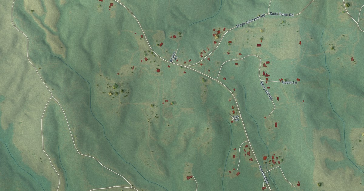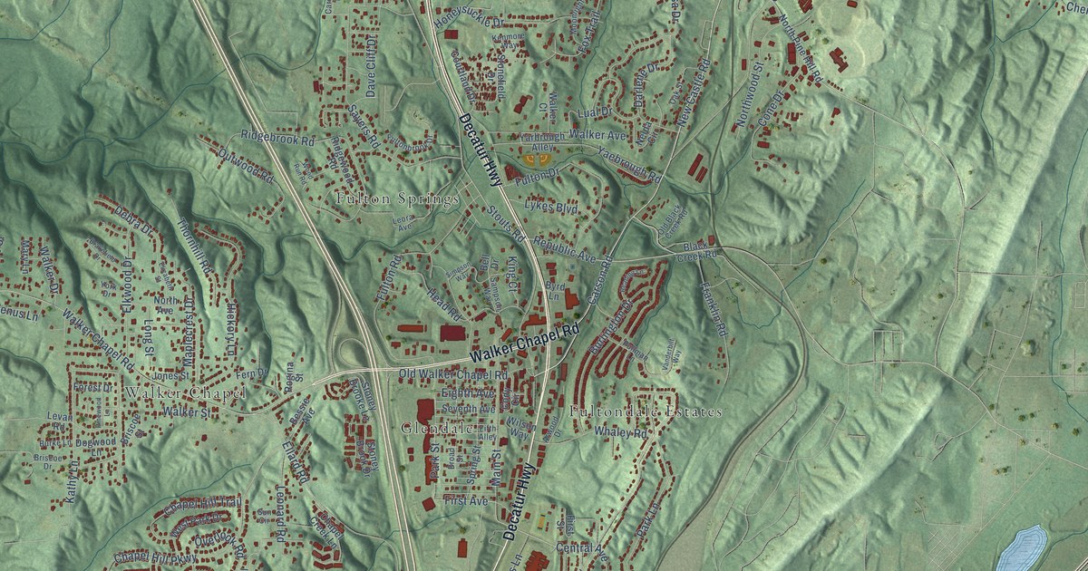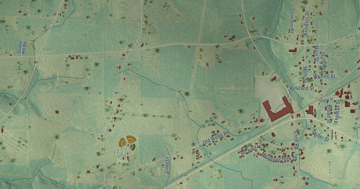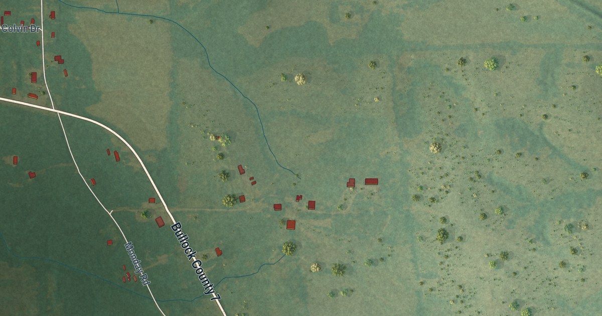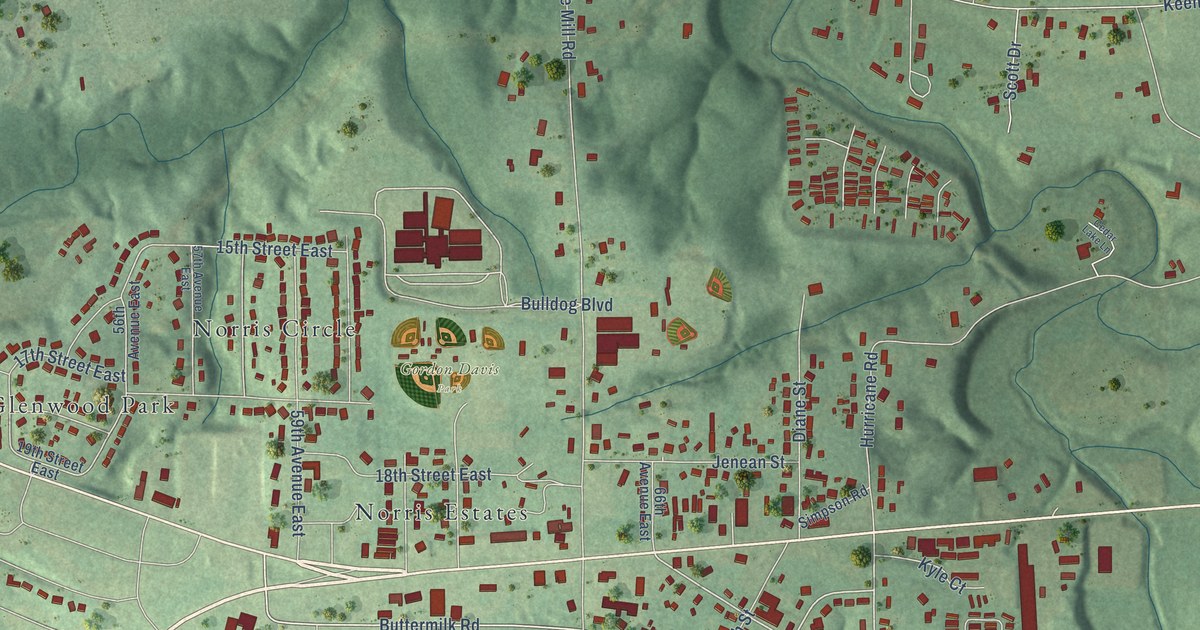
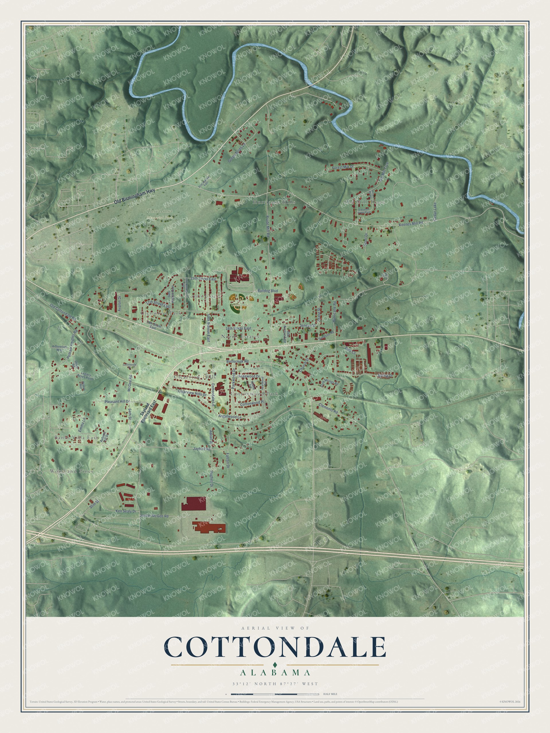
This beautifully detailed map of Cottondale, Alabama was created in 2026 using aerial imagery combined with modern topographical, census, street and landmark data. It's a modern aerial view of Cottondale in Tuscaloosa County, Alabama, that combines modern data with a vintage aesthetic. The roads feature printed names, and if you look closely you can find your exact house accurately shown in its correct location.
Explore an aerial view of Cottondale, Alabama
On this map you'll find Gordon Davis Park, Tuscaloosa Memorial Park, Woodland Pines, Old Mill Trace, Clearview Hills, Hurricane Hills, Banks Villa East, Glenwood Park, Cottonwood Park, Norris Estates, Norris Circle, Old Birmingham Highway, and more. Each red shape is a building, so zoom in on the preview and look for yours.
Cottondale is a community in Tuscaloosa County. The Census Bureau counted 3,130 people here in 2020. Cottondale sits about 3 miles southeast of Holt, 5 miles southeast of Tuscaloosa and 6 miles west of Coaling. The map prints the town name in its title panel, with the coordinates below it.
Take a closer look at the Cottondale map
Names on this map
These names are printed on this map.
Places: Gordon Davis Park, Tuscaloosa Memorial Park, Woodland Pines, Old Mill Trace, Clearview Hills, Hurricane Hills, Banks Villa East, Glenwood Park, Cottonwood Park, Norris Estates, Norris Circle and Cedar Lake.
Streets and roads: Old Birmingham Highway, Jaybird Road, Spring Drive, Forest Mill Drive, 59th Avenue East, Keenes Mill Road, Buttermilk Road, Angelwood Lane, 54th Street, Prude Mill Road, Hurricane Road, Jordan McGee Road.
More street names, A to Z
15th Street East, 17th Street East, 18th Street East, 19th Street East, 56th Avenue East, 57th Avenue East, 61st Avenue East, 66th Avenue East, Adrail Drive, Arboretum Way, Autumn Hill Drive, Avalon Drive, Bulldog Boulevard, Cedar Lake Lane, Church Street, Clearview Hills Drive, Clements Road, Cold Springs Road, Collinsville Drive, Cottondale Lane, Cottonwood Place, Diane Street, Eleventh Street East, Emma Lane, Falcon Drive, Green Acres Lane, Heartwood Avenue, Hughes Drive, Jenean Street, Ken Sealy Drive, Kyle Court, Legacy Acres Point, McGee Road, Mildred Way, Old Cottondale Road, Old Mill Trce, Oliver Road, Orchard Mill Road, Parkwood Drive, Pelham Heights Road, Pleasant Hill Drive, Redtop Avenue, Sagewood Drive, Scott Drive, Simpson Road, Skyland Boulevard East, Slim Street.
See it on a wall
The Cottondale map as a framed print. Swipe for more.


Created by KNOWOL in 2026. The buildings are small red shapes, the roads carry their printed names, and shaded relief shows the shape of the land. The title panel reads "AERIAL VIEW OF COTTONDALE, ALABAMA" with 33°12' NORTH 87°27' WEST.
Hang it in the hallway, the office or the cabin, or give it to someone who left Cottondale and still calls it home. Open the preview and look for a street you know. See sizes and frames for the Cottondale map.