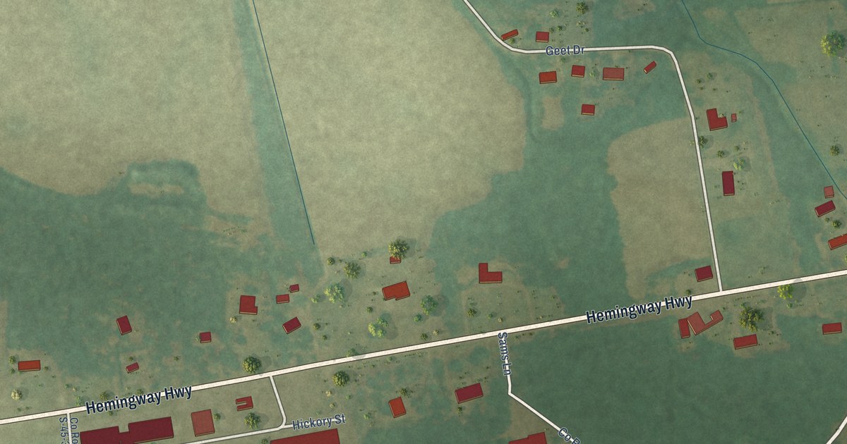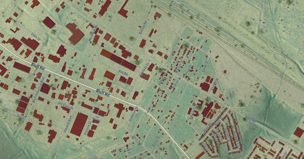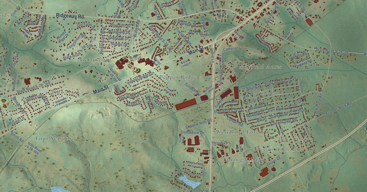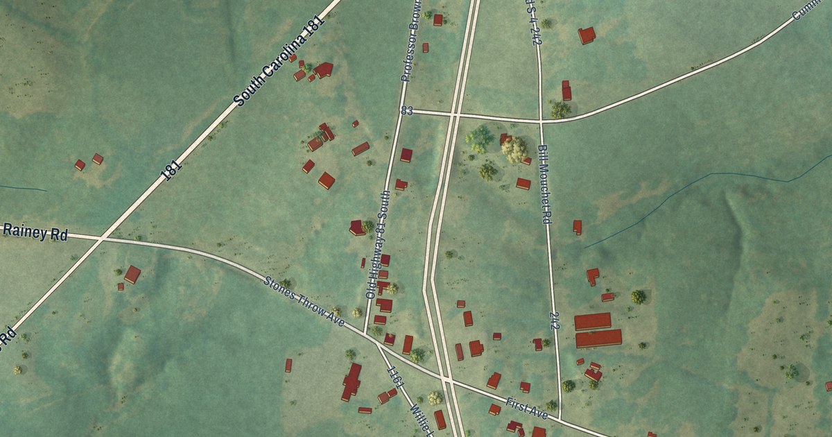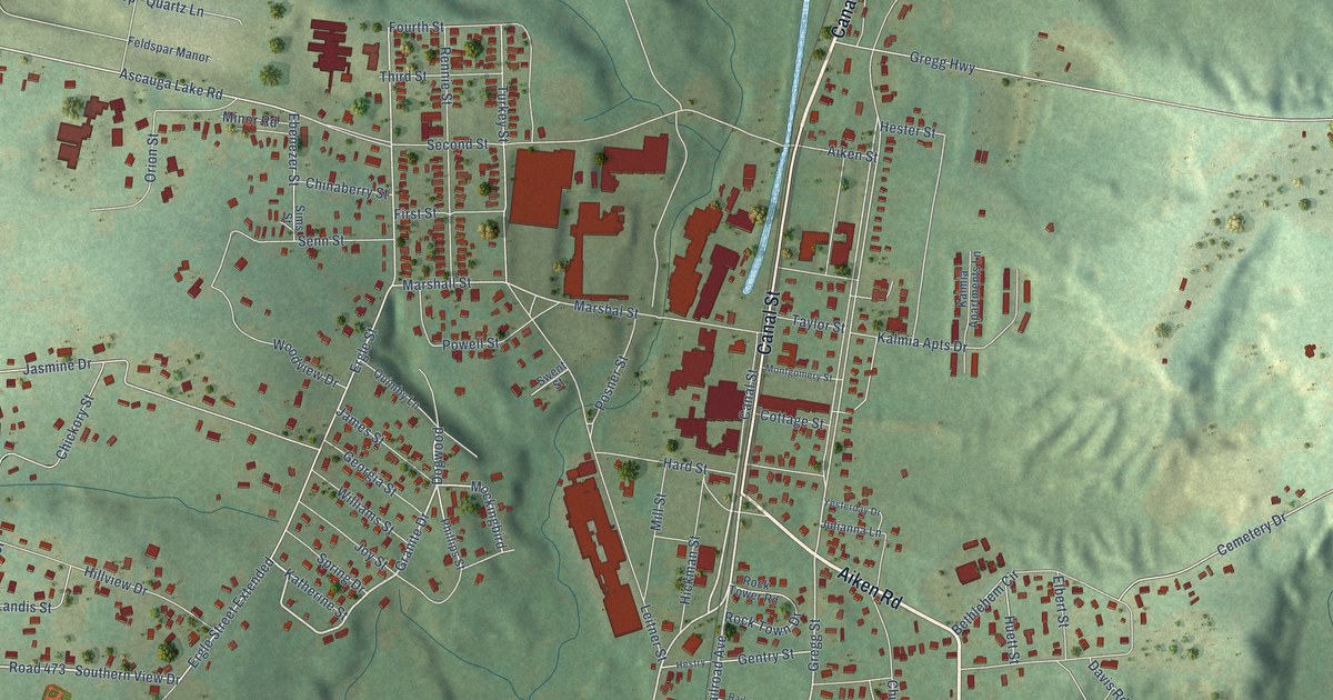
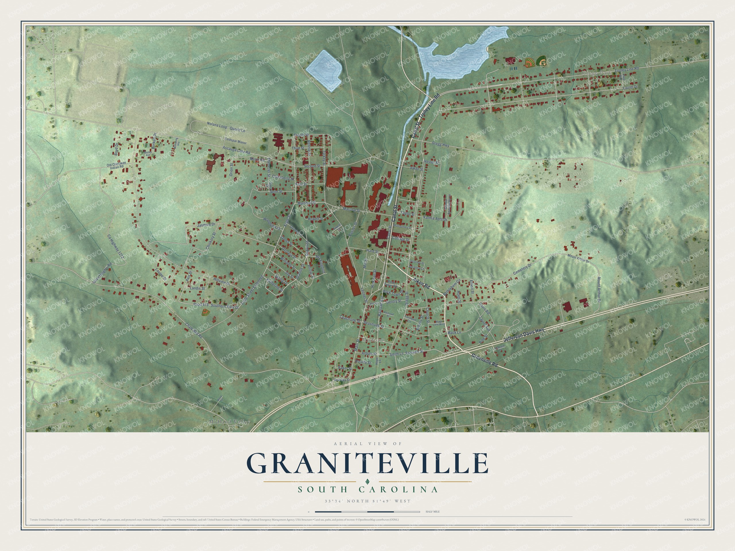
This beautifully detailed map of Graniteville, South Carolina was created in 2026 using aerial imagery combined with modern topographical, census, street and landmark data. It’s a one-of-a-kind view of Graniteville that combines accurate data with a vintage aesthetic. The map shows every building in its true location, many of the roads carry their names, and the shaded topographic relief shows the shape of the land.
Explore an aerial view of Graniteville, South Carolina
On the map you’ll find Gregg Park, Madison, Graniteville Cemetery, Midland Valley, and Dogwood, along with Canal Street, Aiken Road, Trolley Line Road, Jefferson Davis Highway, Greenville Road, Main Street, Granite Drive, and more. Graniteville sits about 3 miles north of Gloverville, 4 miles northeast of Langley and 4 miles northeast of Burnettown. If you look closely you can even find your house accurately drawn in its correct location. Zoom in on the preview to look for yours.
Take a closer look at the Graniteville map
Names on this map
These names are printed on this map.
Places: Gregg Park, Madison, Graniteville Cemetery and Midland Valley.
Streets and roads: Canal Street, Aiken Road, Trolley Line Road, Jefferson Davis Highway, Greenville Road, Main Street, Granite Drive, Dogwood, Railroad Avenue, Ergle Street, Mockingbird, Gregg Street.
More street names, A to Z
Aiken Street, Arbute Street, Ascauga Lake Road, Avis Street, Bailey Avenue, Baker Street, Bethlehem Circle, Bland Circle, Boyd Drive, Brantley Street, Brooks Street, Burkett Drive, Ceastrunk Street, Cemetery Drive, Chalk Bed Road, Chickory Street, Chinaberry Street, Church Street, Cottage Street, County Highway 1272, Davis Road, East Avenue, Ebenezer Street, Elbert Street, Ergle Street Extended, Feldspar Manor, First Street, Fourth Street, Gentry Street, Georgia Street, Gregg Highway, Hard Street, Hester Street, Hestry, Hickman Street, Hillview Drive, Hope Lane, Huett Street, James Street, Jasmine Drive, Joy Street, Julianna Lane, Kalmia Apartments Lane, Kalmia Apts Drive, Katherine Street, Landis Street, Laurel Avenue, Laurel Drive, Leitner Street, Louise Street, Mack Lane, Mack Lane West, Marshall Street, Marshal Street, Mill Street, Minor Road, Montgomery Street, Mount Arthur Drive, Nolana Loop, Old Cherokee Indian Road, Olive Heights Road, Orion Street, Phillips Street, Pine Street, Polatty Street, Posner Street, Powell Street, Quartz Lane, Quimby Lane, Railroad Street, Rennie Street, Road 473, Rock Tower Road, Rock Town Drive, Samuels Street, Seastrunk Street, Second Street, Senn Street, Shazach Lane, Sims Street, Smith Lane, Southern View Drive, Spring Drive, Swent Street, Taylor Street, Third Street, Turkey Street, Turnbull Circle, Williams Street, Withering Heights, Woodview Drive, Yesterday Drive.
See it on a wall
The Graniteville map as a framed print. Swipe for more.


This beautifully detailed map of Graniteville makes an attractive addition to your office, library, or den, and it can even be used to teach children the geography and history of the area. It also makes a great gift for someone who left Graniteville and still calls it home. When you’re done exploring, click here to get your copy of the Graniteville map.