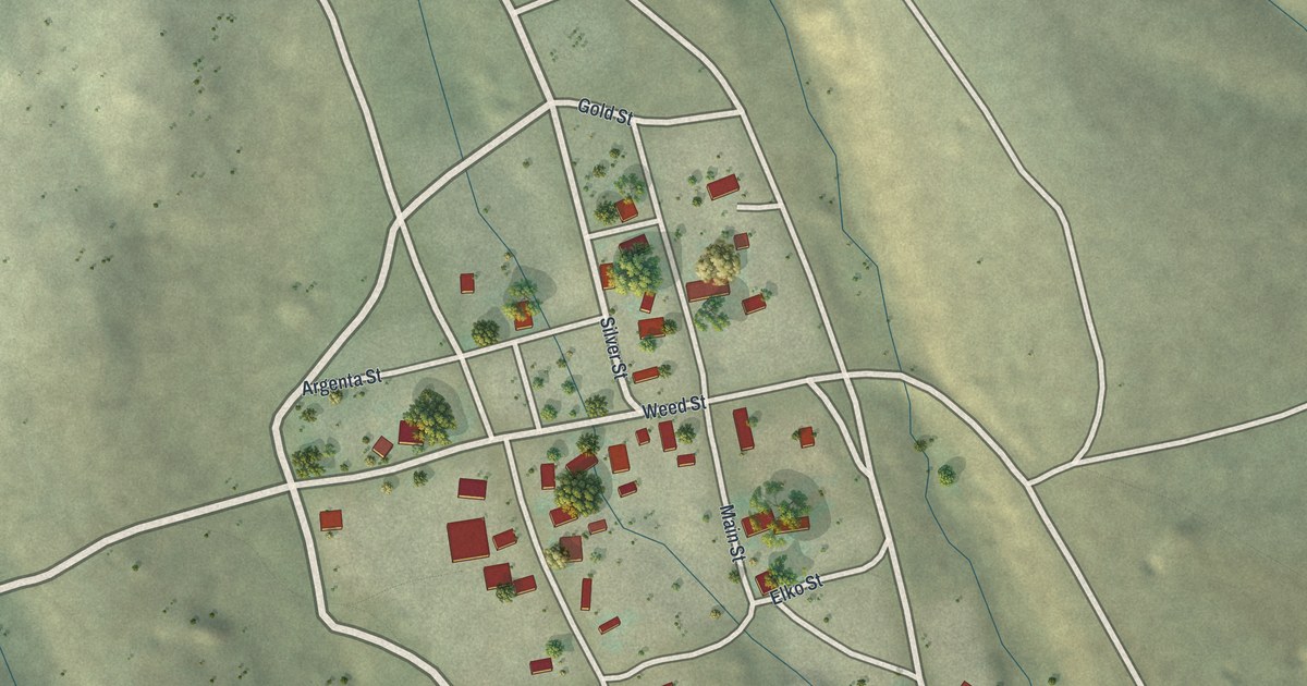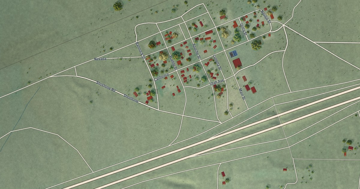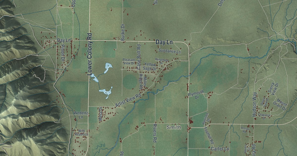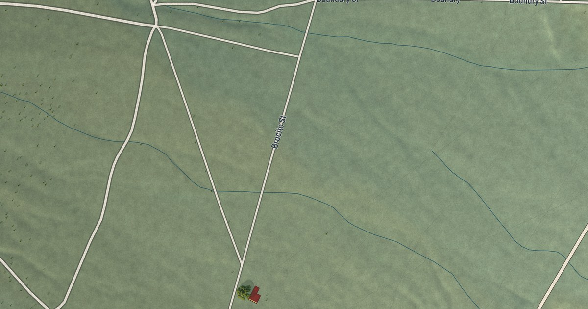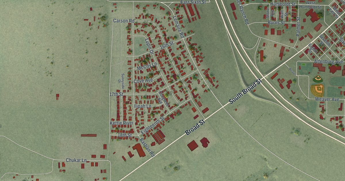
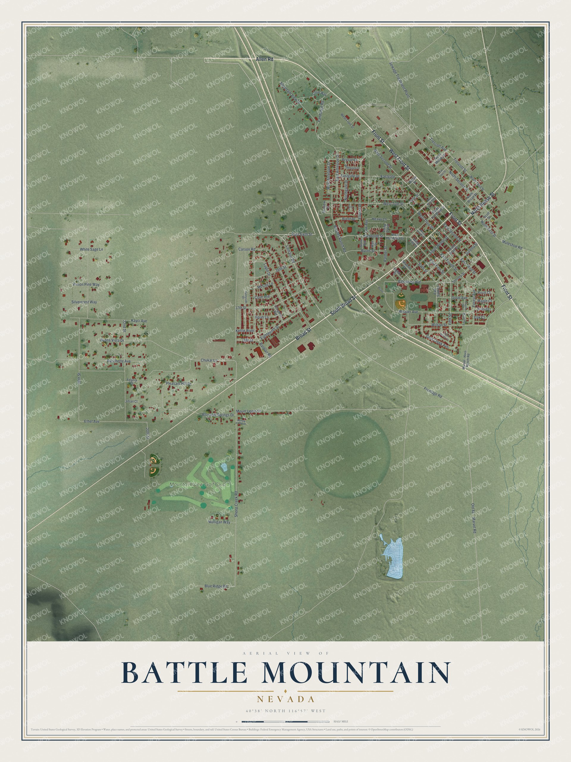
This beautifully detailed map of Battle Mountain, Nevada was created in 2026 using aerial imagery combined with modern topographical, census, street and landmark data. It’s a one-of-a-kind view of Battle Mountain that combines accurate data with a vintage aesthetic. The map shows every building in its true location, many of the roads carry their names, and the shaded topographic relief shows the shape of the land.
Explore an aerial view of Battle Mountain, Nevada
On the map you’ll find Mountain View Golf Club, along with South Broad Street, Broad Street, Front Street, West Front Street, Allen Road, North Reese Street, Lemaire Road, East Sixth Street, Humboldt Street, Chukar Lane, East Fourth Street, and more. Battle Mountain sits about 15 miles southeast of Valmy, 24 miles northwest of Crescent Valley and 37 miles southeast of Golconda. If you look closely you can even find your house accurately drawn in its correct location. Zoom in on the preview to look for yours.
Take a closer look at the Battle Mountain map
Names on this map
These names are printed on this map.
Places: Mountain View Golf Club.
Streets and roads: South Broad Street, Broad Street, Front Street, West Front Street, Allen Road, North Reese Street, Lemaire Road, East Sixth Street, Humboldt Street, Chukar Lane, East Fourth Street, East Fifth Street.
More street names, A to Z
16th Street, 17th Street, 18th Street, 20th Street, 22nd Street, 26th Street, Altenburg Avenue, Bastian Road, Birch Court, Blossom Springs Drive, Blue Ridge Road, Brent Drive, Broyles Ranch Road, Bryson Drive, Buena Vista Drive, Burns Street, Camp David, Carson Road, Circle Way, Congress Avenue, Corral Court, Cove Avenue, East Antelope Drive, Eastgate, Eastgate Drive, East Second Street, East Third Street, Eighteenth Street, Eighth Street, Elquist Drive, Ethel Avenue, Fandango Road, Felycia Court, Fifth Street, Forest Avenue, Fourth Street, Frontage Road, Galena Street, Gold Creek Avenue, Good Avenue, Heavy Lane, Ilipah Lane, Indian Springs Court, Jillian Court, Kayci Avenue, Kettle River, Law Avenue, Lupin Drive, Maple Court, Marvel - Horn Ranch Road, Marvel Road, McCoy Lane, Middlegate Drive, Mountain View Drive, Mount Lewis Drive, Muleshoe Road, Mulligan Way, North Broad Street, North First Street, Northgate Drive, North Mountain, North Second Street, North Third Street, North Tules Street, North Willow Street, Oak Court, Palmer Street, Pinion Pine Way, Pleasant Hill Drive, Ranchette Avenue, Scott Street, Seventh Street, Sewage Treatment Plant, Sheep Creek Road, Silvercrest Way, Sixth Street, Sonoma Street, South Humboldt Street, South Reese Street, South Scott Street, Stone Avenue, Sunnyside Drive, Sunview Court, Trescott Avenue, Trescott Street, Tule Street, Walnut Court, Watt Street, Weaver, Weaver Avenue, West Antelope Drive, West Fifth Street, West Fourth Street, West Humboldt Street, West Second Street, West Third Street, West Tule Street, White Sage Lane, Willow Creek Drive, Willow Street, Wilson Street.
See it on a wall
The Battle Mountain map as a framed print. Swipe for more.


This beautifully detailed map of Battle Mountain makes an attractive addition to your office, library, or den, and it can even be used to teach children the geography and history of the area. It also makes a great gift for anyone with Battle Mountain roots. When you’re done exploring, click here to get your copy of the Battle Mountain map.