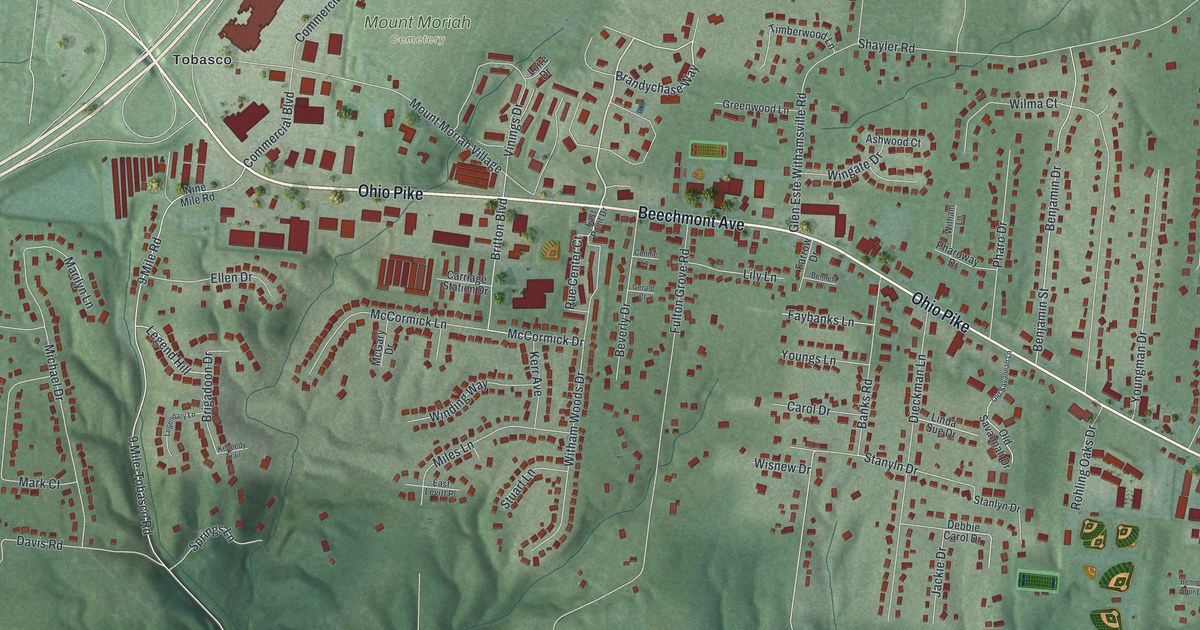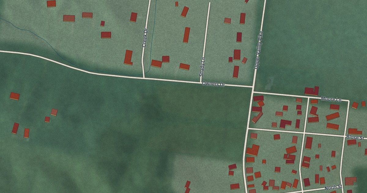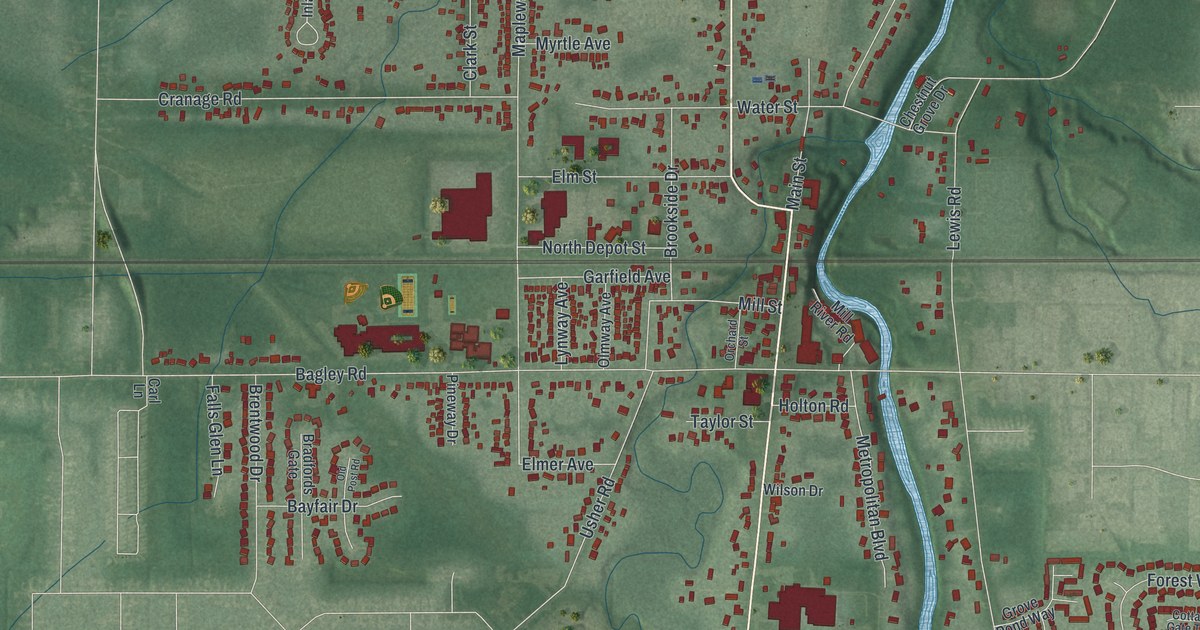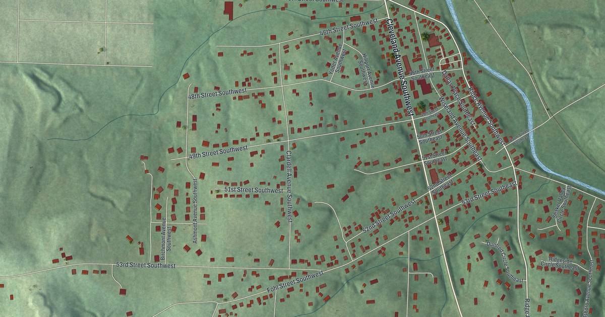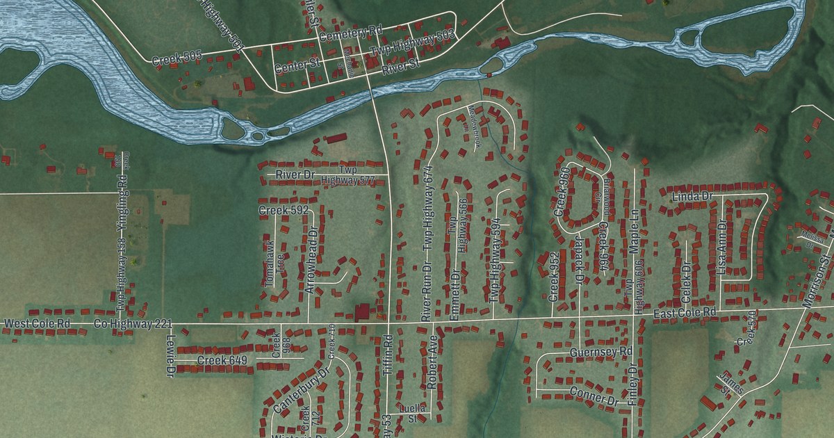
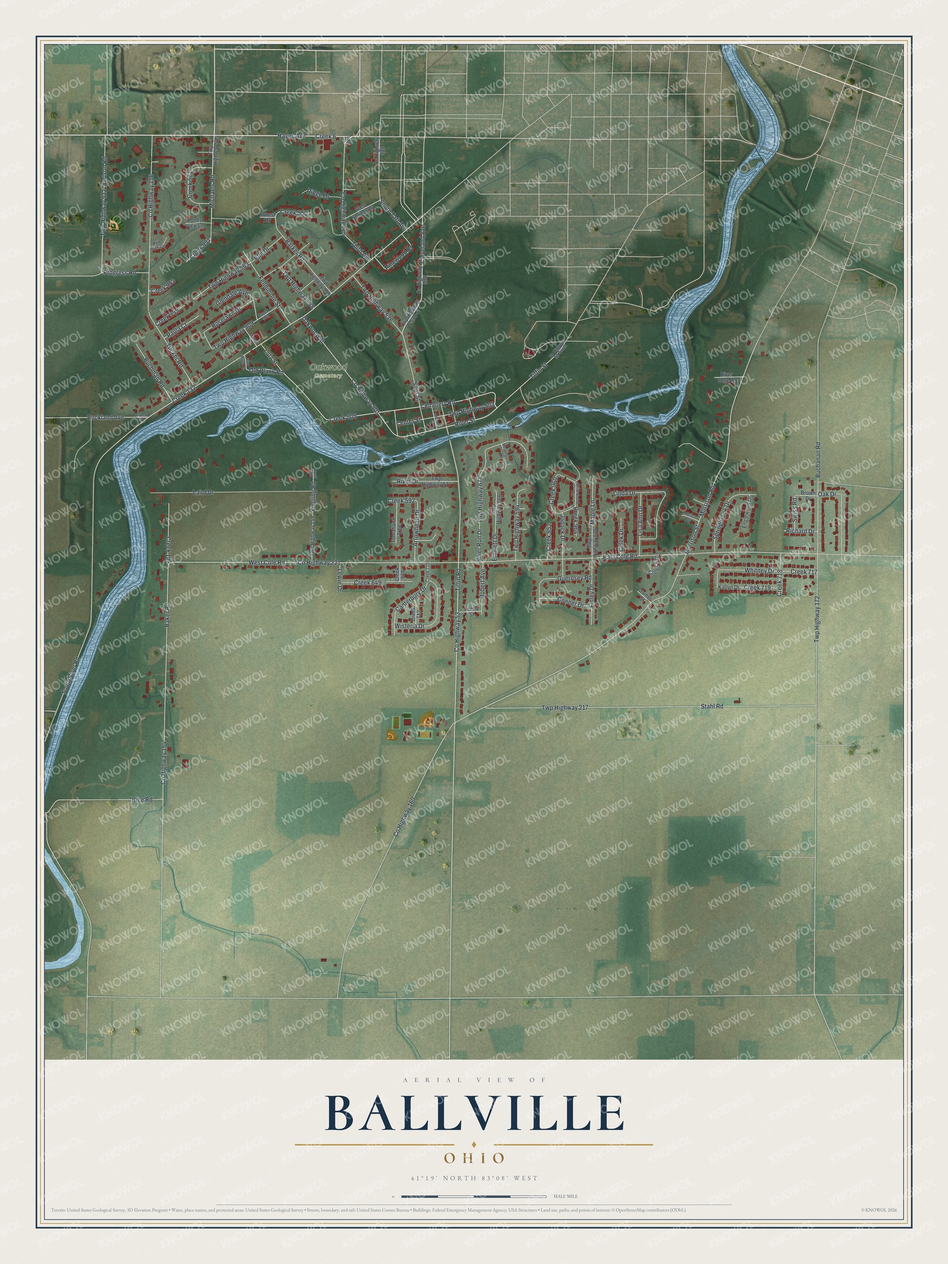
This beautifully detailed map of Ballville, Ohio was created in 2026 using aerial imagery combined with modern topographical, census, street and landmark data. It's a modern aerial view of Ballville in Sandusky County, Ohio, that combines modern data with a vintage aesthetic. The roads feature printed names, and if you look closely you can find your exact house accurately shown in its correct location.
Explore an aerial view of Ballville, Ohio
On this map you'll find Oakwood Cemetery, Creek 6, Third Avenue, Michaels Road, Hayes Avenue, Creek 505, Tiffin Road, Creek 132, Cleveland Avenue, River Street, Oakwood Street, Co Highway 53, and more. Each red shape is a building, so zoom in on the preview and look for yours.
Ballville is a community in Sandusky County. The Census Bureau counted 3,823 people here in 2020. Ballville sits about 2 miles south of Stony Prairie, 2 miles southwest of Fremont and 6 miles north of Old Fort. The map prints the town name in its title panel, with the coordinates below it.
Take a closer look at the Ballville map
Names on this map
These names are printed on this map.
Places: Oakwood Cemetery.
Streets and roads: Creek 6, Third Avenue, Michaels Road, Hayes Avenue, Creek 505, Tiffin Road, Creek 132, Cleveland Avenue, River Street, Oakwood Street, County Highway 53, County Highway 501.
More street names, A to Z
Arrowhead Drive, Baker Road, Barker Road, Bartson Road, Briarwood Circle, Brown Drive, Buchanan Road, Buchman Road, Buckland Avenue, Burt Wyatt Road, Canterbury Drive, Celek Drive, Cemetery Road, Center Street, Conner Drive, County Highway 53 South, County Highway 154, County Highway 156, County Highway 160, County Highway 221, County Highway 526, County Highway 528, County Highway 530, Creek 41, Creek 154, Creek 158, Creek 509, Creek 526, Creek 550, Creek 570, Creek 571, Creek 592, Creek 649, Creek 710, Creek 712, Creek 717, Creek 718, Creek 719, Creek 952, Creek 953, Creek 955, Creek 957, Creek 960, Creek 964, Creek 968, East Cole Road, Elm Drive, Emmett Drive, Englewood Drive, Ernest Drive, Fennimore Street, Finley Drive, Glendale Avenue, Glen Springs Drive, Guernsey Road, James Street, Japack Drive, Katlyn Drive, Laird Drive, Lewie Drive, Linda Drive, Lisa Ann Drive, Luella Street, Lutz Street, Maple Lane, Meadowbrook Lane, Mechanic Street, Melissa Drive, Morrison Road, Morrison Street, Oak Drive, Old Plank Road, Paula Court, Pinewood Drive, Ponds View Lane, Progress Road, Red Path Circle, Rice Road, Richard Drive, Ridge Drive, River Drive, River Edge Drive, River Run Drive, Robert Avenue, Roselawn Drive, Saner Road, Siler Street, South River Road, South Taft Avenue, Springbrook Drive, Stahl Road, Swiss Road, Tiffin Street, Tomahawk Trce, Tucker Road, Twp Highway 158, Twp Highway 172, Twp Highway 217, Twp Highway 503, Twp Highway 509, Twp Highway 522, Twp Highway 524, Twp Highway 530-A, Twp Highway 536, Twp Highway 548, Twp Highway 550, Twp Highway 563, Twp Highway 566, Twp Highway 577, Twp Highway 594, Twp Highway 606, Twp Highway 674, West Cole Road, Whitney Drive, Wisteria Drive, Yingling Road.
See it on a wall
The Ballville map as a framed print. Swipe for more.


Created by KNOWOL in 2026. The buildings are small red shapes, the roads carry their printed names, and shaded relief shows the shape of the land. The title panel reads "AERIAL VIEW OF BALLVILLE, OHIO" with 41°19' NORTH 83°08' WEST.
It looks right in a kitchen, an office or a den, and it's a gift for anyone who grew up in Ballville or moved away. Open the preview and find your street. See sizes and frames for the Ballville map.