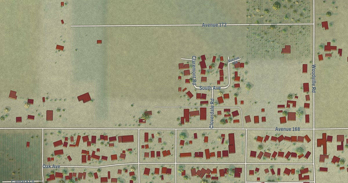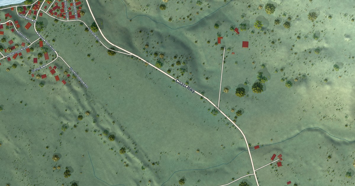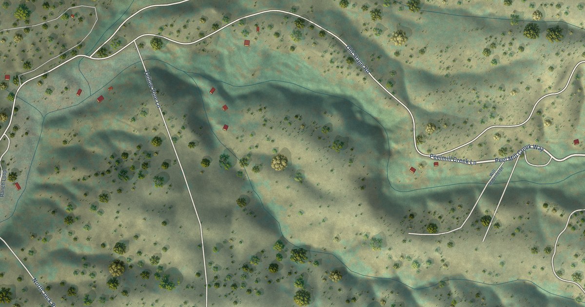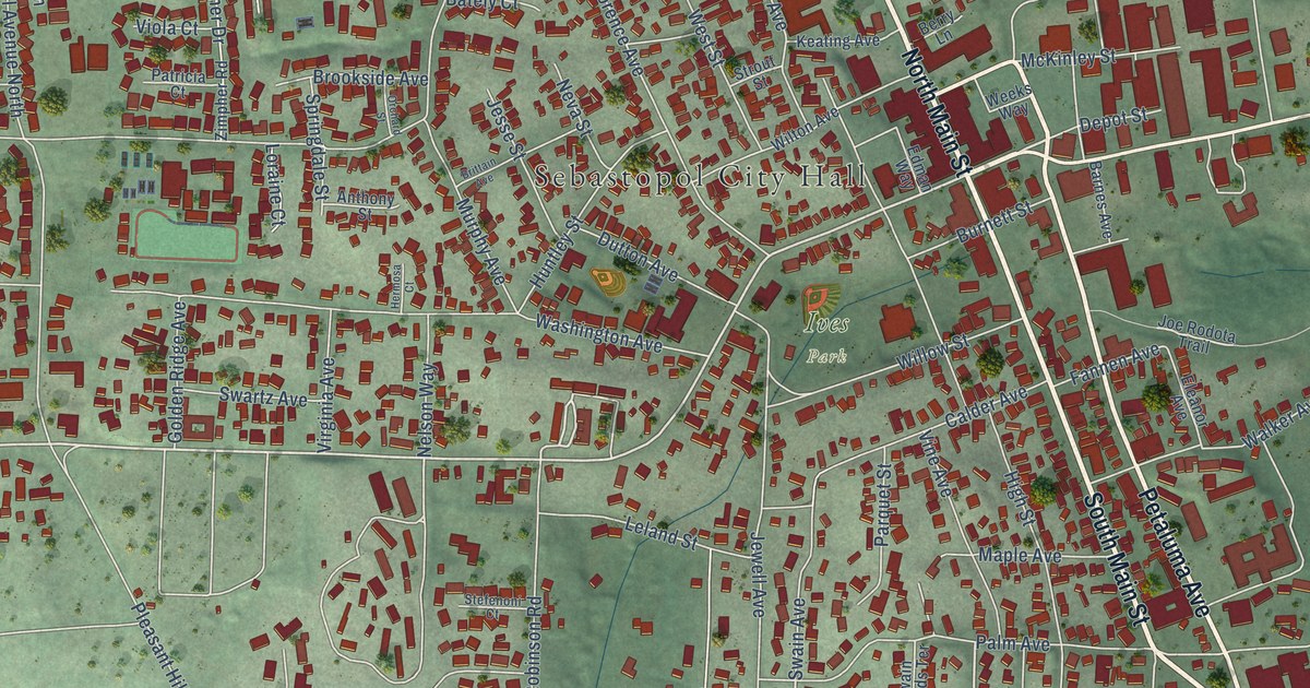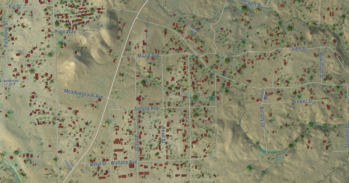
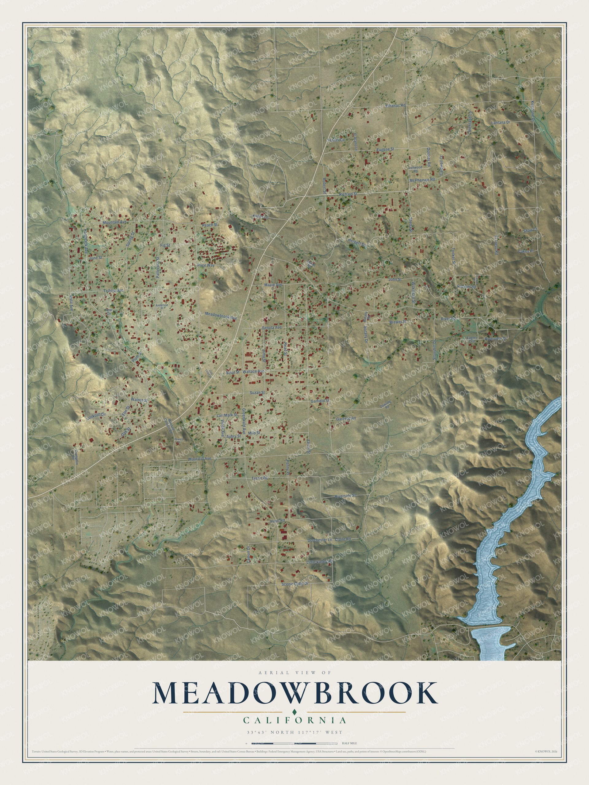
This beautifully detailed map of Meadowbrook, California was created in 2026 using aerial imagery combined with modern topographical, census, street and landmark data. It’s a one-of-a-kind view of Meadowbrook that combines accurate data with a vintage aesthetic. The map shows every building in its true location, many of the roads carry their names, and the shaded topographic relief shows the shape of the land.
Explore an aerial view of Meadowbrook, California
On the map you’ll find Richard Street, Theda Street, Dolores Road, Eugene Street, Scenic Crest Drive, Hammack Avenue, River Road, Racicot Road, Claire Road, Robert Street, Greenwald Avenue, Ethanac Road, and more. Meadowbrook sits about 3 miles northwest of Canyon Lake, 3 miles northeast of Warm Springs and 3 miles south of Good Hope. If you look closely you can even find your house accurately drawn in its correct location. Zoom in on the preview to look for yours.
Take a closer look at the Meadowbrook map
Names on this map
These names are printed on this map.
Streets and roads: Richard Street, Theda Street, Dolores Road, Eugene Street, Scenic Crest Drive, Hammack Avenue, River Road, Racicot Road, Claire Road, Robert Street, Greenwald Avenue, Ethanac Road.
More street names, A to Z
Anderson Street, Aubry Street, Beryl Street, Botany Drive, Botany Road, Brewer Street, Cakes Place, Caldwell Court, Camon Drive, Carole Drive, Crumpton Road, Dorchester Lane, Dowling Road, Eagles Crst, El Alamo Lane, El Freso Road, Elm Street, Festus Circle, Fig Street, Garfield Road, Garfield Street, Herbert Street, Hyatt Road, Irma Street, Jarvis Street, John Street, June Street, Keystone Drive, Kimes Lane, Lantana Drive, Lari Mark Street, Lazy Lizard Drive, Lenwood Road, Little Valley Road, Lookout Circle, Mauricio Avenue, Mazie Avenue, McPherson Road, Meadowbrook Avenue, Milo Street, Mountain Avenue, Oak Street, Patterson Street, Peach Street, Pear Circle, Penny Place, Plum Street, Powell Court, Price Way, Read Street, Richland Lane, Riverside Street, Riverview Drive, Sarah Road, Senola Avenue, Shaw Court, Spring Street, Stonyhill Drive, Suzan Street, Telford Avenue, Tooker Street, Tyson Road, Vinell Avenue, Vista Avenue, Wallace Avenue, Walnut Street, Wasson Canyon Road, Wilkinson Street.
See it on a wall
The Meadowbrook map as a framed print. Swipe for more.


This beautifully detailed map of Meadowbrook makes an attractive addition to your office, library, or den, and it can even be used to teach children the geography and history of the area. It also makes a great gift for anyone who grew up in Meadowbrook or moved away. When you’re done exploring, click here to get your copy of the Meadowbrook map.