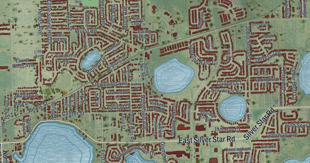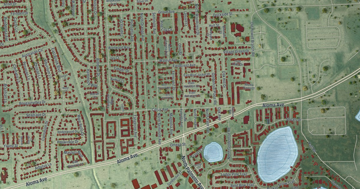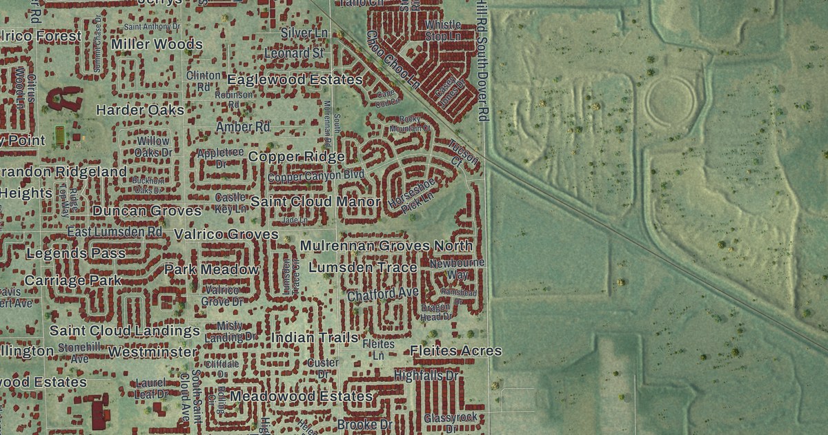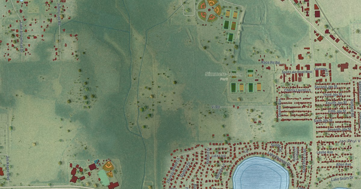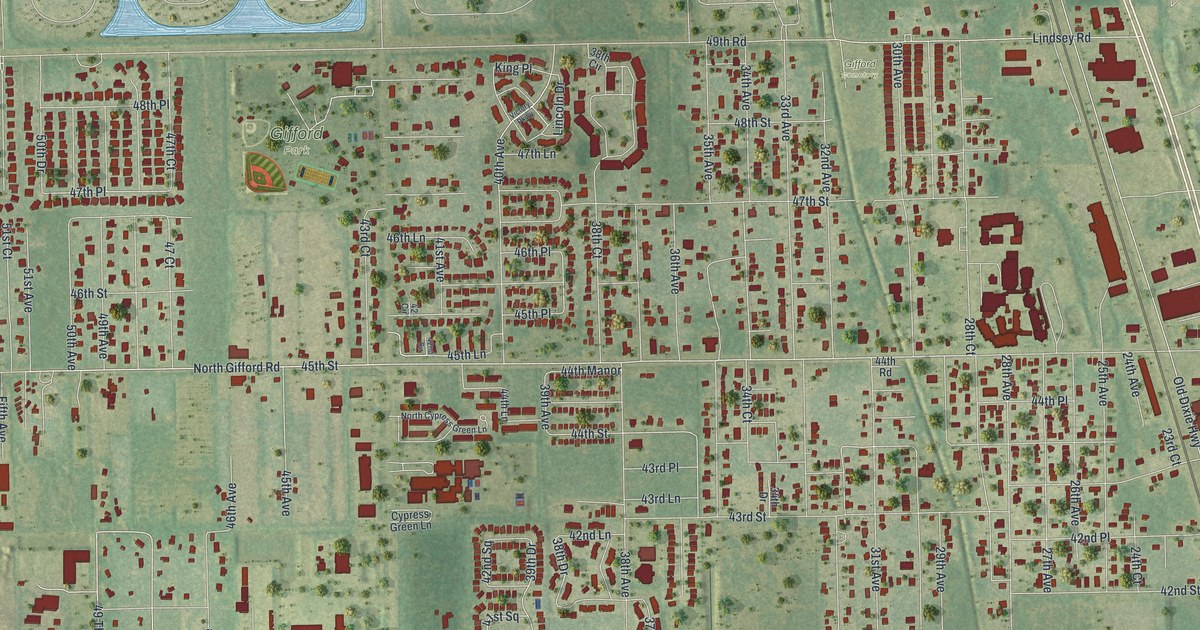
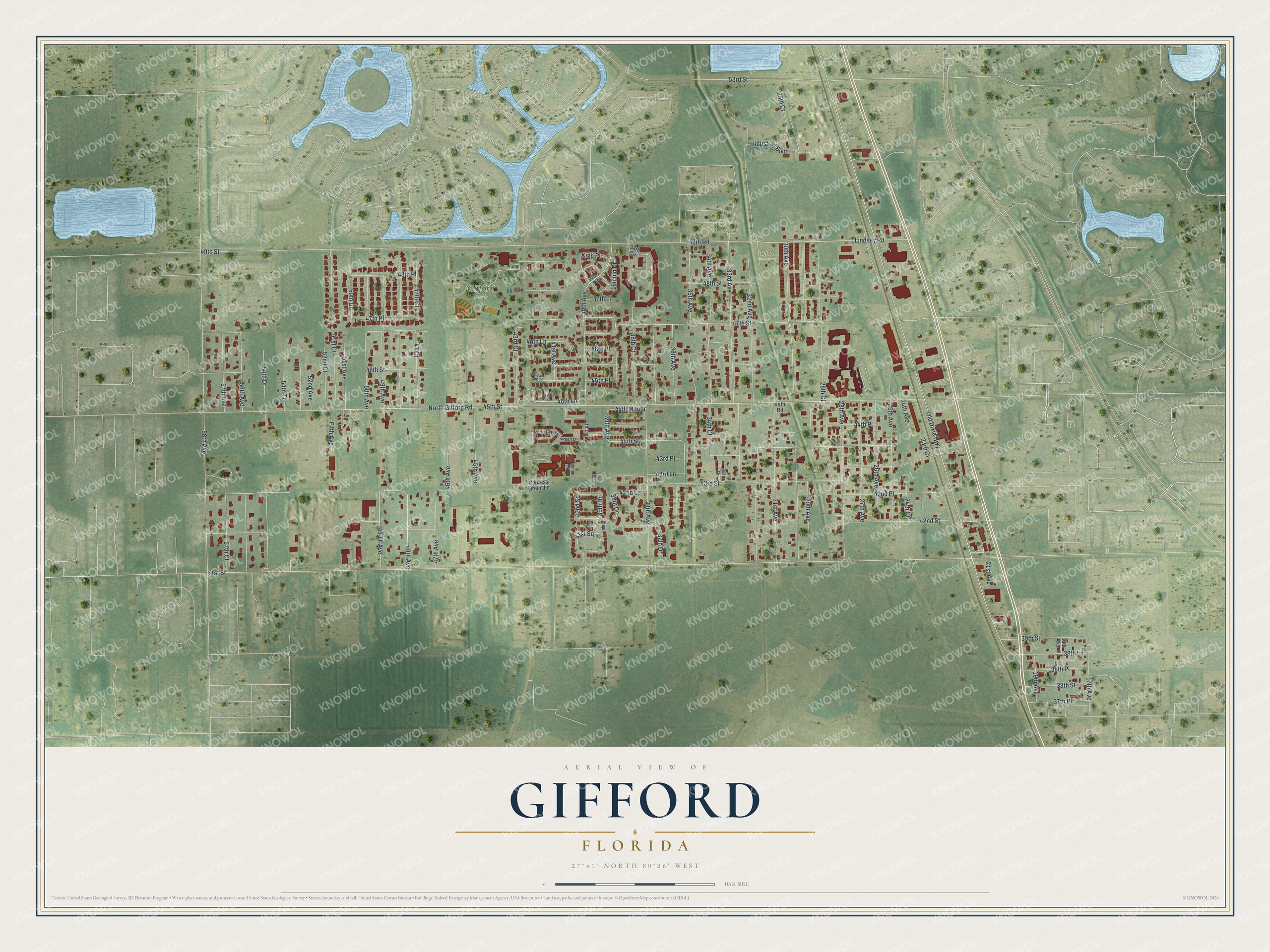
This beautifully detailed map of Gifford, Florida was created in 2026 using aerial imagery combined with modern topographical, census, street and landmark data. It's a modern aerial view of Gifford in Indian River County, Florida, that combines modern data with a vintage aesthetic. The roads feature printed names, and if you look closely you can find your exact house accurately shown in its correct location.
Explore an aerial view of Gifford, Florida
On this map you'll find Gifford Park, Gifford Cemetery, 40th Avenue, 43rd Street, 49th Avenue, 45th Street, 48th Avenue, 44th Street, 53rd Street, 47th Place, 39th Drive, 45th Lane, and more. Each red shape is a building, so zoom in on the preview and look for yours.
Every town has a first chapter, and Gifford is no exception. William Edward Geoffrey, an African American man from Darlington, South Carolina, came to Gifford in 1892 to work on the Florida East Coast Railroad. In 1901 he bought eighty acres there and gave part of the land for a park and for the Gifford School, a school for Black children. The school added a high school in 1938, and in 1952 the county built a new Gifford High School at 45th Street and 28th Court. That's from the Florida Division of Historical Resources.
Gifford is a community in Indian River County. The Census Bureau counted 5,511 people here in 2020.
Take a closer look at the Gifford map
Names on this map
These names are printed on this map.
Places: Gifford Park and Gifford Cemetery.
Streets and roads: 40th Avenue, 43rd Street, 49th Avenue, 45th Street, 48th Avenue, 44th Street, 53rd Street, 47th Place, 39th Drive, 45th Lane, 45th Place, 39th Avenue.
More street names, A to Z
17th Avenue, 18th Avenue, 19th Avenue, 21st Avenue, 23rd Court, 24th Avenue, 24th Court, 25th Avenue, 26th Avenue, 27th Avenue, 28th Avenue, 28th Court, 29th Avenue, 29th Court, 30th Avenue, 31st Avenue, 32nd Avenue, 33rd Avenue, 34th Avenue, 34th Court, 34th Drive, 35th Avenue, 36th Avenue, 37th Drive, 37th Place, 38th Avenue, 38th Circle, 38th Court, 38th Drive, 38th Lane, 38th Place, 38th Street, 39th Street, 41st Avenue, 41st Square, 41st Street, 42 Circle, 42nd Circle, 42nd Lane, 42nd Place, 42nd Square, 42nd Street, 43rd Court, 43rd Lane, 43rd Place, 44th Lane, 44th Manor, 44th Place, 44th Road, 45th Avenue, 46th Avenue, 46th Lane, 46th Place, 46th Street, 47 Court, 47th Avenue, 47th Court, 47th Lane, 47th Street, 48th Place, 48th Street, 49 Th Avenue, 49th Road, 49th Street, 50th Avenue, 50th Drive, 51st Avenue, 51st Court, 52nd Avenue, 52nd Court, 54th Drive, 54th Terrace, 56th Avenue, 57th Avenue, 57th Court, 58th Avenue, Cypress Green Lane, Fifth Avenue, Industrial Boulevard, King Place, Lincoln Drive, Lindsey Road, North Cypress Green Lane, North Gifford Road, Old Dixie Highway, Victory Parkway.
See it on a wall
The Gifford map as a framed print. Swipe for more.


Created by KNOWOL in 2026. The buildings are small red shapes, the roads carry their printed names, and shaded relief shows the shape of the land. The title panel reads "AERIAL VIEW OF GIFFORD, FLORIDA" with 27°41' NORTH 80°26' WEST.
Hang it in the hallway, the office or the cabin, or give it to someone who left Gifford and still calls it home. Open the preview and look for a street you know. See sizes and frames for the Gifford map.