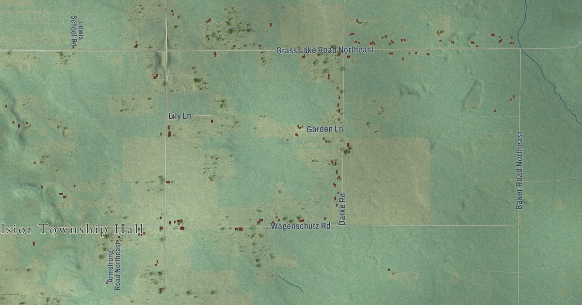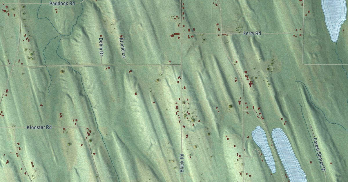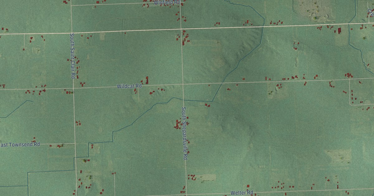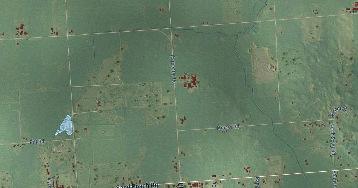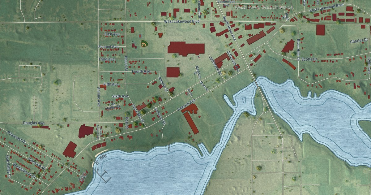
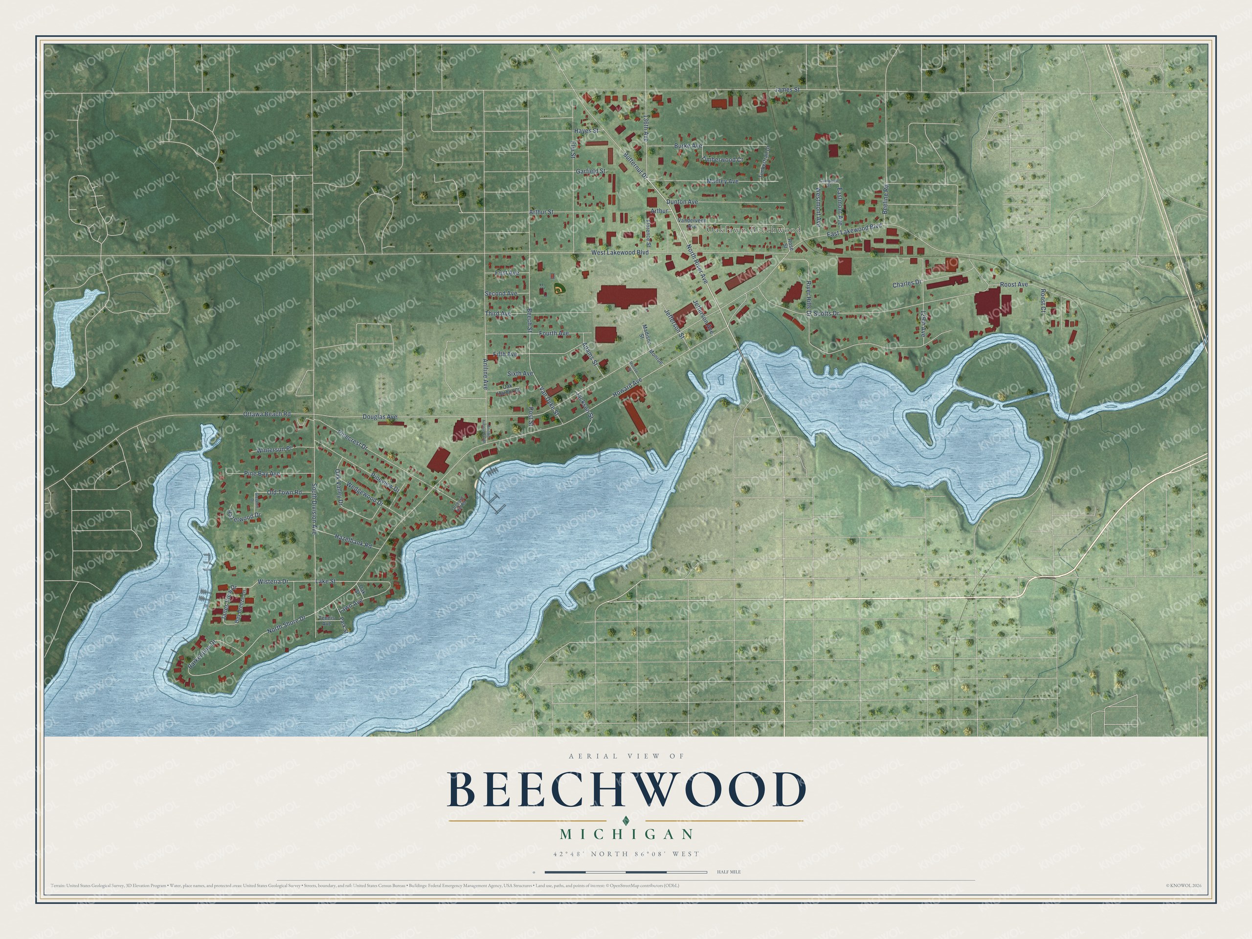
This beautifully detailed map of Beechwood, Michigan was created in 2026 using aerial imagery combined with modern topographical, census, street and landmark data. It's a modern aerial view of Beechwood in Ottawa County, Michigan, that combines modern data with a vintage aesthetic. The roads feature printed names, and if you look closely you can find your exact house accurately shown in its correct location.
Explore an aerial view of Beechwood, Michigan
On this map you'll find Oaklawn Beechwood, North River Avenue, Janes View Drive, Wisteria Drive, North Shore Drive, Lake Street, Douglas Avenue, Howard Avenue, West Lakewood Boulevard, James Street, River Hills Drive, Scotts Drive, and more. Each red shape is a building, so zoom in on the preview and look for yours.
Here is a piece of Beechwood history. West Ottawa High School began at Beechwood School. Its first graduating class went to the old school, a vacant elementary building, for 9th through 11th grade. As seniors, the 105 members of the Class of 1962 moved into the brand-new Suburban High School, later renamed West Ottawa High School. The class drew students from many districts, including the city of Holland, the north side, St. Francis and Grand Haven. That's from the West Ottawan student newspaper.
Beechwood is a community in Ottawa County. The Census Bureau counted 3,121 people here in 2020. Beechwood sits about 3 miles northwest of Holland, 6 miles west of Zeeland and 10 miles northeast of Saugatuck. The map prints the town name in its title panel, with the coordinates below it.
Take a closer look at the Beechwood map
Names on this map
These names are printed on this map.
Places: Oaklawn Beechwood.
Streets and roads: North River Avenue, Janes View Drive, Wisteria Drive, North Shore Drive, Lake Street, Douglas Avenue, Howard Avenue, West Lakewood Boulevard, James Street, River Hills Drive, Scotts Drive, South Division Avenue.
More street names, A to Z
129th Avenue, 136th Avenue, Adams Street, Aniline Avenue, Aniline Avenue South, Arthur, Arthur Street, Barkentine Drive, Bay Breeze Lane, Beech Street, Beeline Road, Burke Avenue, Butternut Drive, Campbell Street, Charles Drive, Dunton Avenue, East Lakewood Boulevard, Eastmont Avenue, Elm Street, Fifth Avenue, First Avenue, Florence Street, Fourth Avenue, Garfield Street, Greenhill Drive, Hayes Street, Hazelbank Road, Hazelwood Drive, Jackson Street, Jefferson Avenue, Jefferson Street, Lawn Avenue, Madison Street, Manley Avenue, Monroe, Monroe Street, Oak Harbor Court, Oak Street, Oak Valley Drive, Old Town Road, Orchard Hill Road, Ottawa Beach Road, Park Street, Pine Bay Avenue, Pinecrest Drive, Pineview Drive, Post Street, Roost Avenue, Roost Court, Rose Street, Second Avenue, Sixth Avenue, Tennis Avenue, Third Avenue, Timbertrail Drive, Timberwood Court, Vanderveen Avenue, Van Dyke Street, Wedgewood Drive, Westmont Avenue, Wintersun Place.
See it on a wall
The Beechwood map as a framed print. Swipe for more.


Created by KNOWOL in 2026. The buildings are small red shapes, the roads carry their printed names, and shaded relief shows the shape of the land. The title panel reads "AERIAL VIEW OF BEECHWOOD, MICHIGAN" with 42°48' NORTH 86°08' WEST.
It suits a den, a classroom or a front hall, and it makes a gift for anyone with Beechwood roots. Open the preview and find the block you know. See sizes and frames for the Beechwood map.