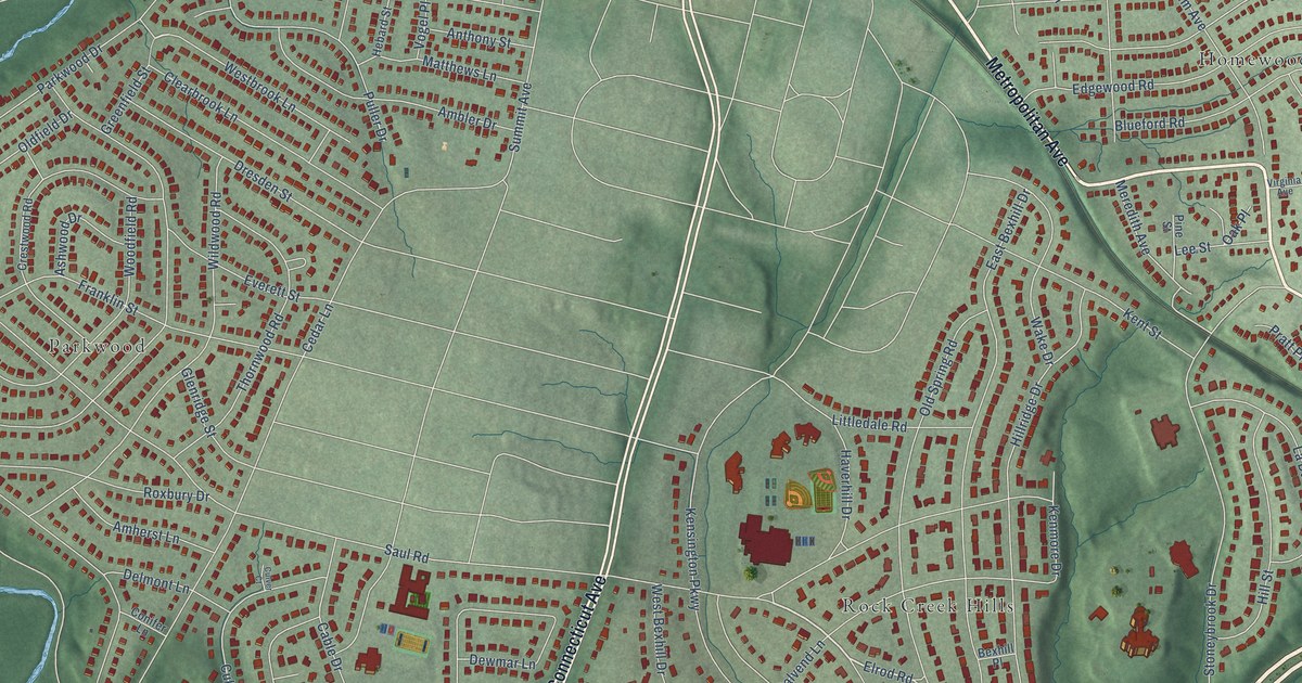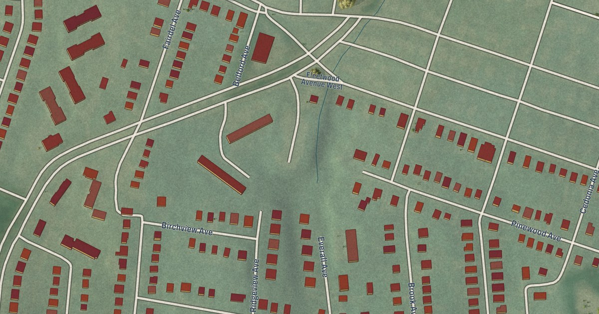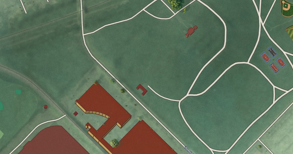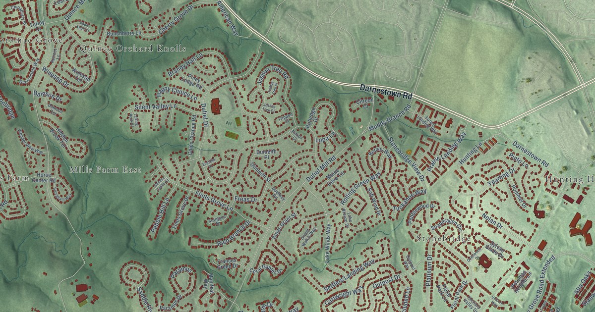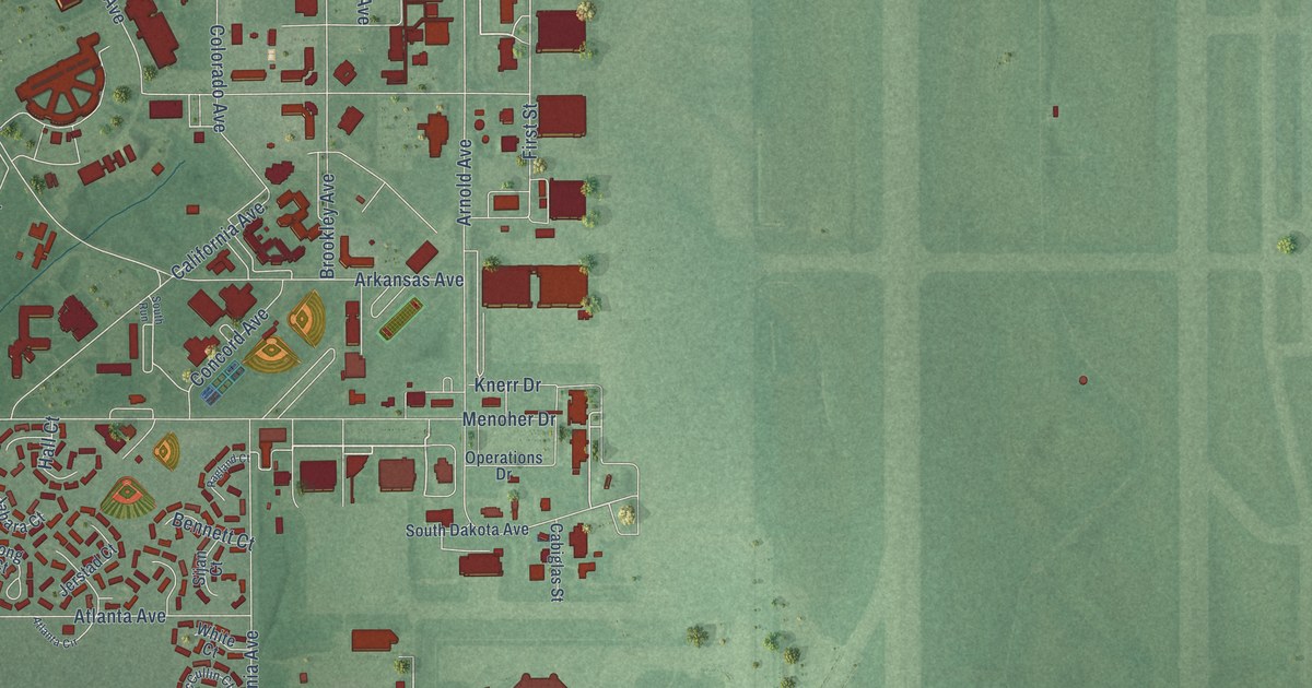
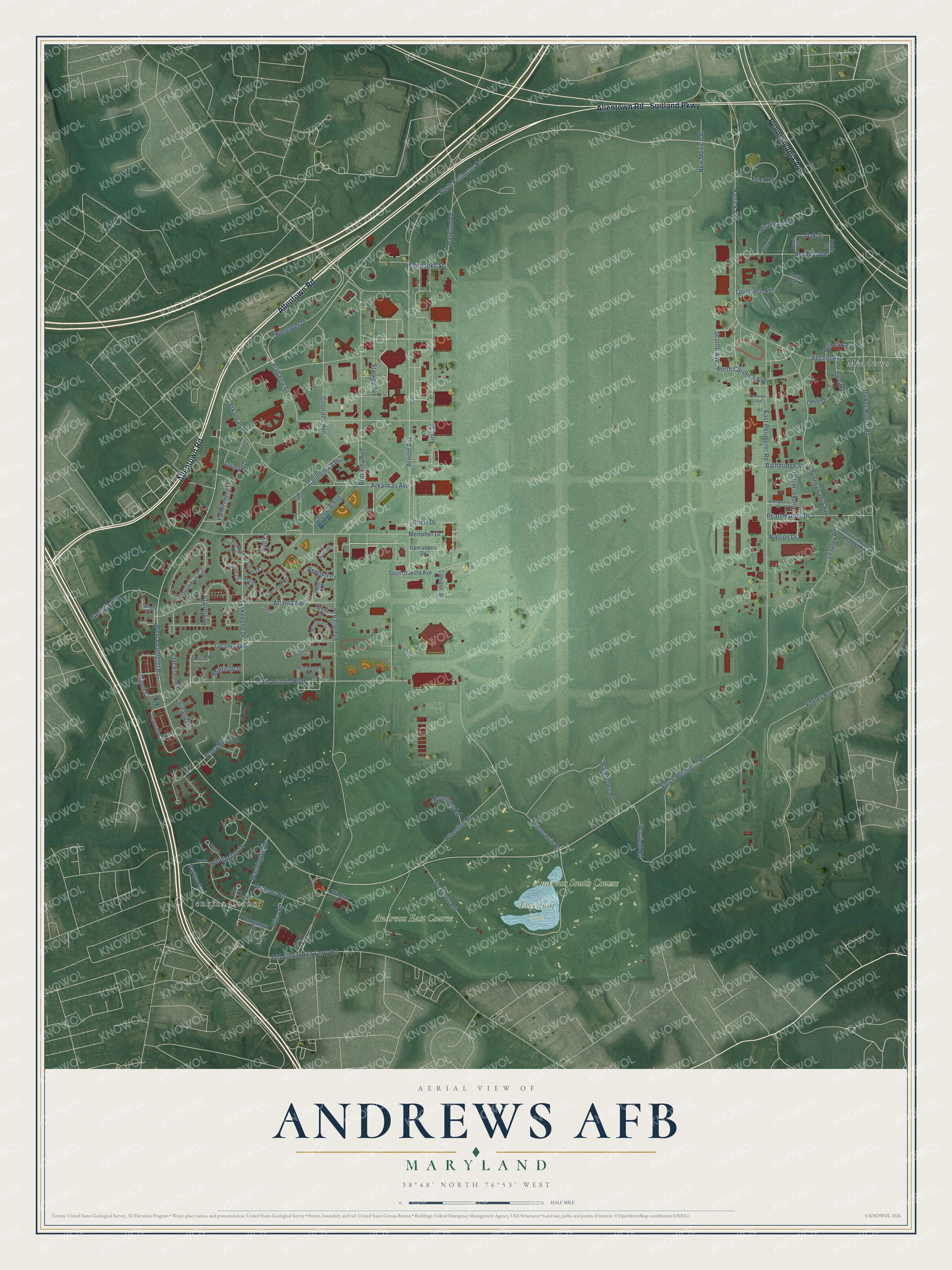
This beautifully detailed map of Andrews AFB, Maryland was created in 2026 using aerial imagery combined with modern topographical, census, street and landmark data. It's a modern aerial view of Andrews AFB in Prince George's County, Maryland, that combines modern data with a vintage aesthetic. The roads feature printed names, and if you look closely you can find your exact house accurately shown in its correct location.
Explore an aerial view of Andrews AFB, Maryland
On this map you'll find Freedom Park, Meadows, Jenkins Corner, Andrews East Course, Andrews South Course, Allentown Road, Pennsylvania Avenue, Suitland Parkway, West Perimeter Road, North Perimeter Road, South Perimeter Road, Patrick Avenue, and more. Each red shape is a building, so zoom in on the preview and look for yours.
Every town has a first chapter, and Andrews AFB is no exception. On August 26, 1942, President Franklin D. Roosevelt directed Secretary of War Stimson to buy 3,250 acres in the Camp Springs area for military use. By 1943 the base was running as Camp Springs Army Air Field, and in 1945 it was renamed Andrews Field for Lieutenant General Frank M. Andrews, who had died in an airplane accident in May 1943. About 125 families of Meadows, Reds Corner, Camp Springs and Woodyard had to give up their land and homes. The Army allowed them only ninety days to leave. That's from the Maryland Historical Magazine.
Andrews AFB is a community in Prince George's County. The Census Bureau counted 3,025 people here in 2020. Andrews AFB sits about 2 miles west of Melwood, 2 miles southeast of Morningside and 3 miles east of Camp Springs. The map prints the town name in its title panel, with the coordinates below it.
Take a closer look at the Andrews AFB map
Names on this map
These names are printed on this map.
Places: Freedom Park, Meadows, Jenkins Corner, Andrews East Course and Andrews South Course.
Streets and roads: Allentown Road, Pennsylvania Avenue, Suitland Parkway, West Perimeter Road, North Perimeter Road, South Perimeter Road, Patrick Avenue, Seattle Avenue, Westover Drive, Wisconsin Road, First Street, Wilmington Drive.
More street names, A to Z
Alabama Avenue, Alaska Avenue, Annapolis Street, Apple Street, Arizona Loop, Arkansas Avenue, Arkansas Road, Arnold Avenue, Atlanta Avenue, Atlanta Circle, Bainbridge Street, Bedford Drive, Beech Lane, Bennett Court, Bong Court, Brookley Avenue, Bunker Hill Street, Cabiglas Street, California Avenue, Cedar Drive, Chicago Drive, Colorado Avenue, Columbus Circle, Concord Avenue, Dawson Court, Dayton Avenue, Dower House Road, Dower House Road West, East Perimeter Road, Elm Lane, Fairbanks Street, Fechet Avenue, Foxley Road, Georgia Avenue, Hall Court, Harvard Lane, Jabara Court, Jackson Road, Jerstad Court, Knerr Drive, Lahm Court, Largo Lane, Laurel Court, Leapley Road, Louisiana Avenue, Lutman Drive, Madison Drive, Maine Street, Maple Court, Maryland Drive, McCullin Court, Menoher Drive, Michigan Avenue, Nebraska Avenue, Nevada Avenue, New Mexico Street, North Carolina Avenue, Oak Street, Ohio Drive, Old Alexandria Ferry Road, Operations Drive, Peach Street, Pearl Harbor Drive, Portland Square, Ragland Court, Reno Drive, Richmond Drive, Sale Road, San Antonio Boulevard, San Diego Loop, Sijan Court, South Dakota Avenue, South Run, Spruce Court, Starkey Avenue, Tucson Avenue, Tuskeegee Drive, Tyler Road, Utica Street, Vandenberg Drive, Vermont Road, Virginia Avenue, Warfield Road, Washington Drive, Watertown Road, Watson Drive, Wheeling Road, White Court, Windsor Road, Wyoming Road, Yorktown Road, Youngstown Road, Yuma Road.
See it on a wall
The Andrews AFB map as a framed print. Swipe for more.


Created by KNOWOL in 2026. The buildings are small red shapes, the roads carry their printed names, and shaded relief shows the shape of the land. The title panel reads "AERIAL VIEW OF ANDREWS AFB, MARYLAND" with 38°48' NORTH 76°53' WEST.
Hang it in the hallway, the office or the cabin, or give it to someone who left Andrews AFB and still calls it home. Open the preview and look for a street you know. See sizes and frames for the Andrews AFB map.