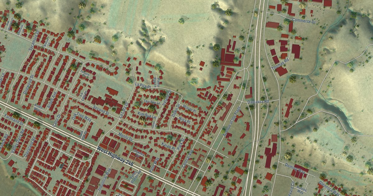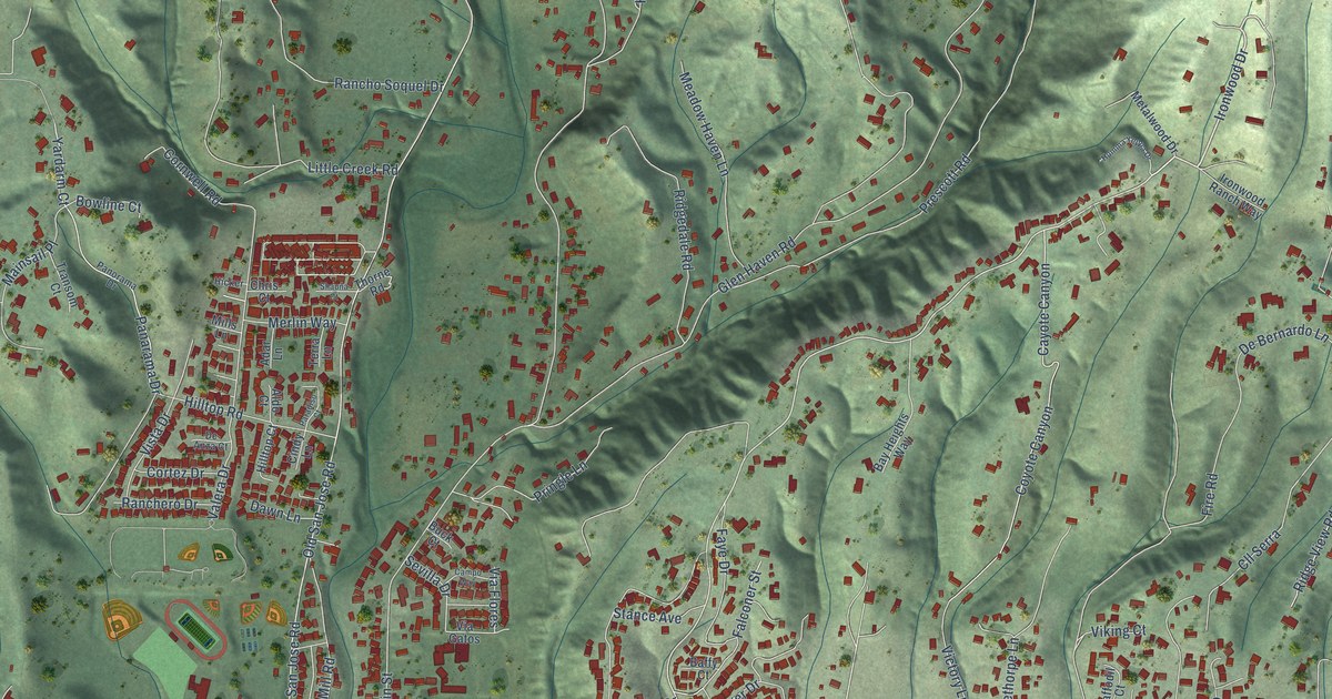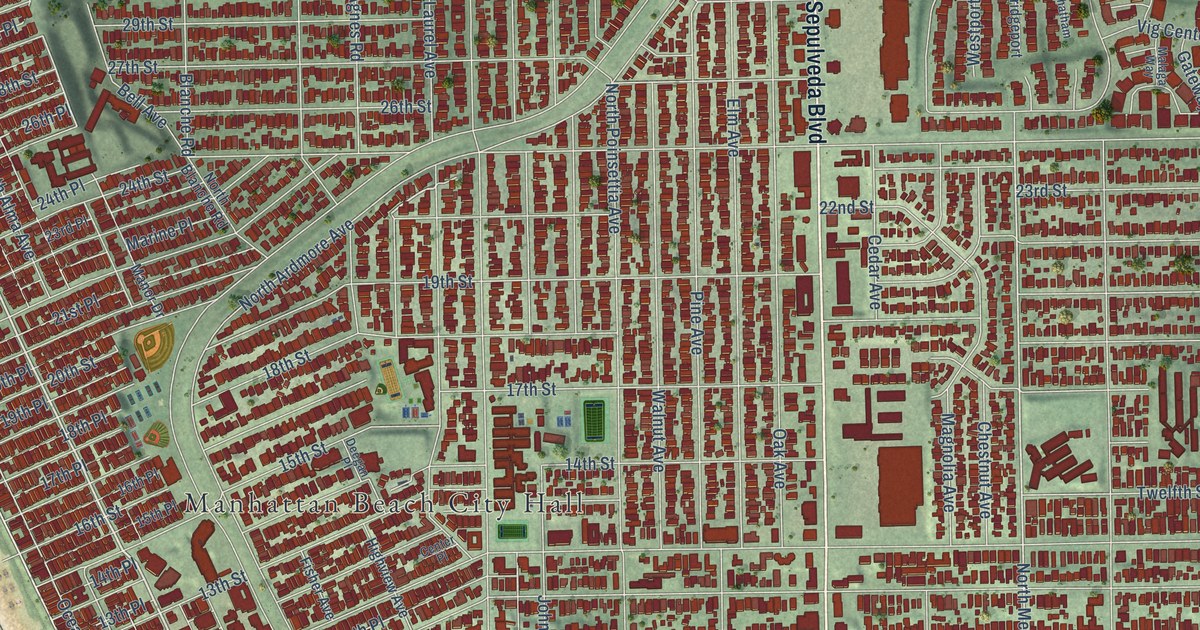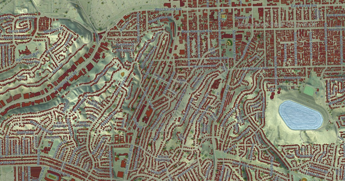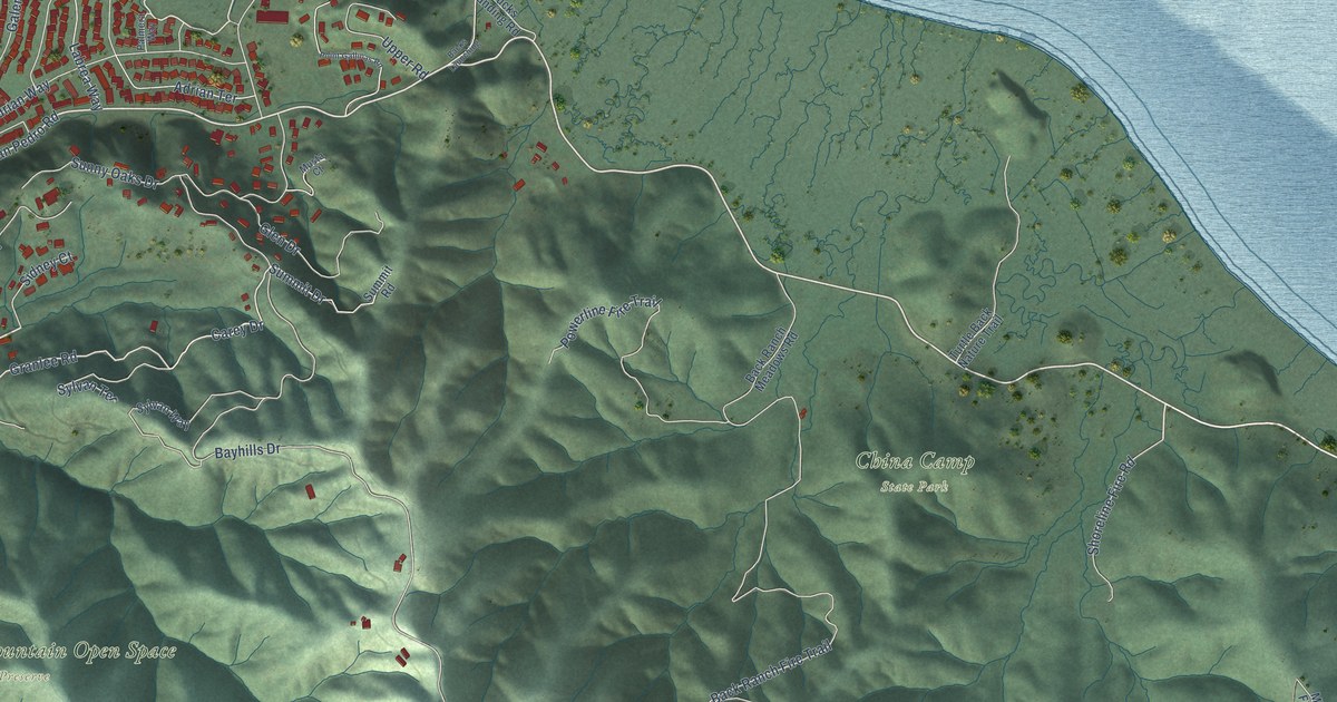
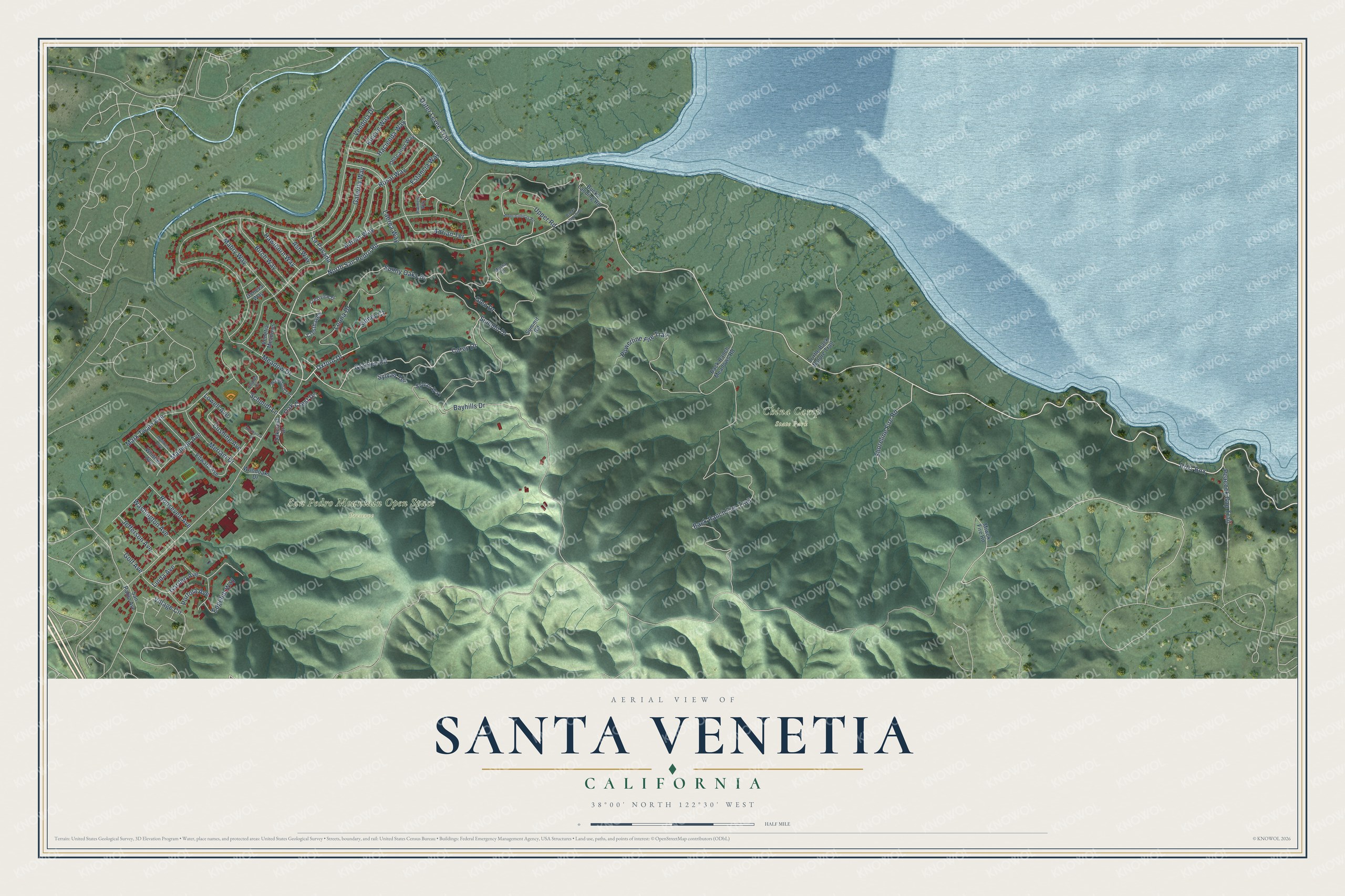
This beautifully detailed map of Santa Venetia, California was created in 2026 using aerial imagery combined with modern topographical, census, street and landmark data. It's a modern aerial view of Santa Venetia in Marin County, California, that combines modern data with a vintage aesthetic. The roads feature printed names, and if you look closely you can find your exact house accurately shown in its correct location.
Explore an aerial view of Santa Venetia, California
On this map you'll find China Camp State Park, San Pedro Mountain Open Space Preserve, North San Pedro Road, Rr01 Box, Oxford Drive, Outer Levee Trail, Granlee Road, Oak Crest Drive, Vendola Drive, Bayhills Drive, Back Ranch Fire Trail, Adrian Way, and more. Each red shape is a building, so zoom in on the preview and look for yours.
Here is a piece of Santa Venetia history. In 1914 developer Mabry McMahan laid out plans for Santa Venetia. He filled in its marshland and dug a series of canals, hoping to build a luxury neighborhood modeled on Venice, Italy. The hard times of the First World War ended his plans. Santa Venetia was built up as a neighborhood after the Second World War, though not in the style he had pictured. That's from the Marin County Free Library.
Santa Venetia is a community in Marin County. The Census Bureau counted 4,289 people here in 2020.
Take a closer look at the Santa Venetia map
Names on this map
These names are printed on this map.
Places: China Camp State Park and San Pedro Mountain Open Space Preserve.
Streets and roads: North San Pedro Road, Rr01 Box, Oxford Drive, Outer Levee Trail, Granlee Road, Oak Crest Drive, Vendola Drive, Bayhills Drive, Back Ranch Fire Trail, Adrian Way, Sunny Oaks Drive, Powerline Fire Trail.
More street names, A to Z
Adrian Terrace, Ash Way, Back Ranch Meadows Road, Backs Launching, Birch Way, Bucks Landing Road, Carey Drive, Chalda Court, Cresthaven, Crestview Drive, Cushing Avenue, Descanso Way, Edgehill Way, Edward Avenue, Estancia Way, Galerita Way, Garden Avenue, Geneva Way, Glen Drive, Golf Avenue, Hacienda Way, Hawthorn Way, Holmes Avenue, Jefferson Avenue, Labrea Way, La Pasada, Leona Drive, Linda Avenue, Lowell Avenue, Mabry Way, Madison Avenue, Mark Twain Avenue, Meadow Drive, Meriam Drive, Miwok Fire Road, Musta Court, Northview Court, Oakcrest Drive, Palmera Way, Peacock Gap Trail, Point Gallinas Road, Portola Avenue, Rincon Way, Roosevelt Avenue, Rosal Way, San Pablo Avenue, Schmidt Lane, Shoreline Fire Road, Sidney Court, Summit Drive, Summit Road, Sylvan Terrace, Sylvan Way, Turtle Back Nature Trail, Upper Road, Venetia Meadows, Village Circle, Washington Avenue, Waterford Terrace, Whittier Avenue, Woodoaks Drive.
See it on a wall
The Santa Venetia map as a framed print. Swipe for more.


Created by KNOWOL in 2026. The buildings are small red shapes, the roads carry their printed names, and shaded relief shows the shape of the land. The title panel reads "AERIAL VIEW OF SANTA VENETIA, CALIFORNIA" with 38°00' NORTH 122°30' WEST.
It suits a den, a classroom or a front hall, and it makes a gift for anyone with Santa Venetia roots. Open the preview and find the block you know. See sizes and frames for the Santa Venetia map.