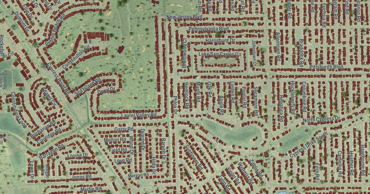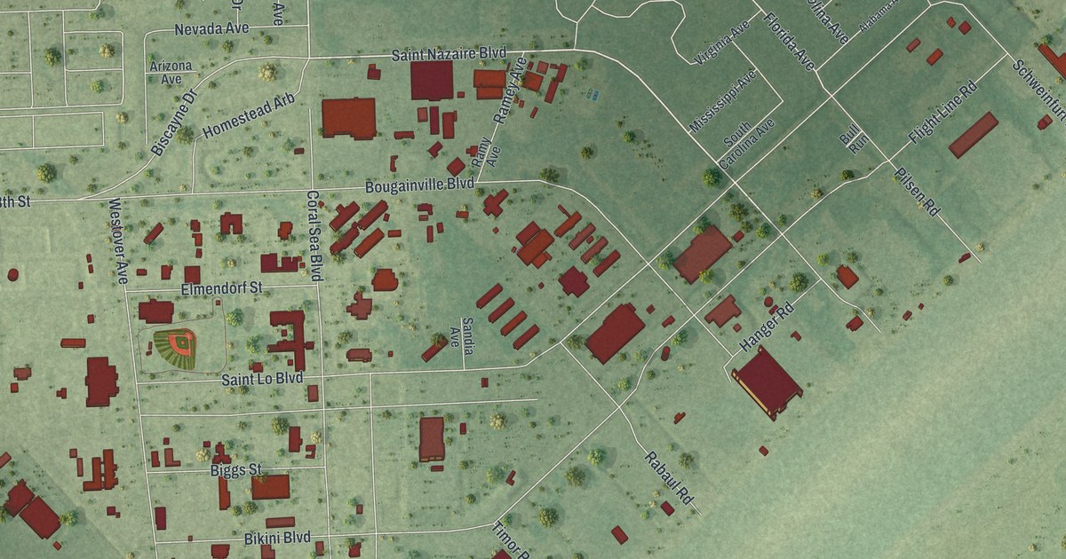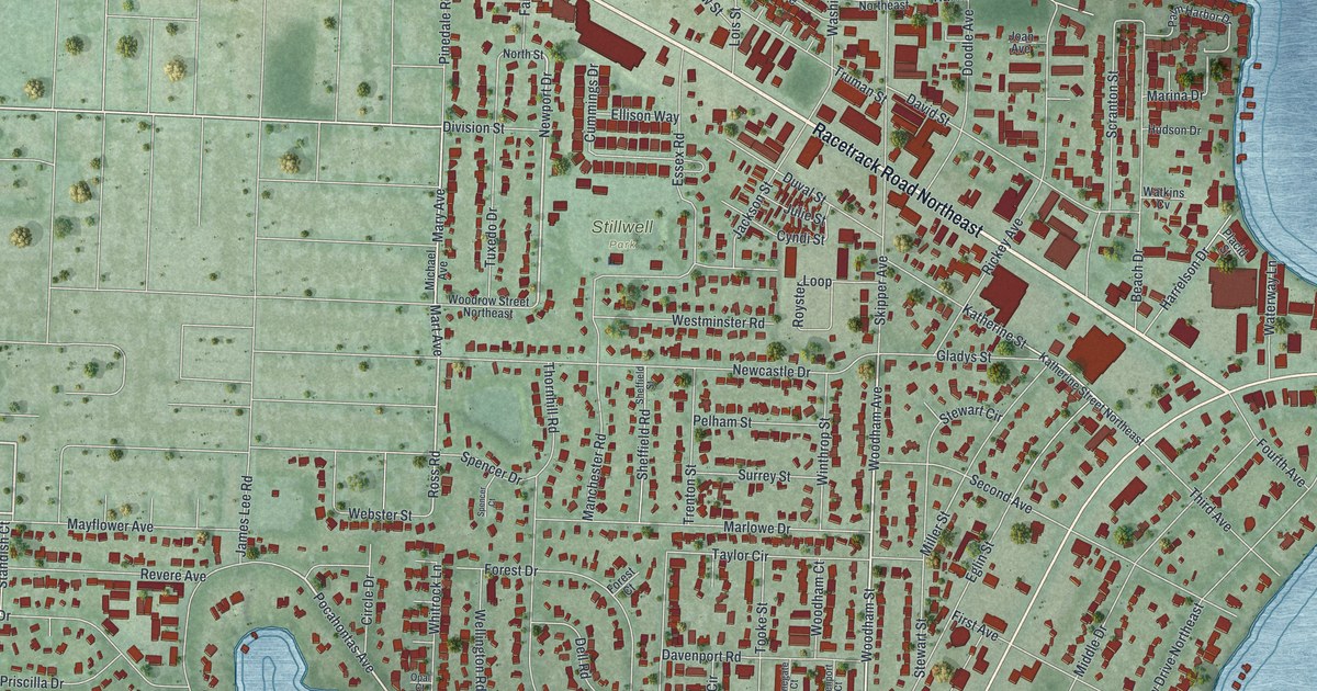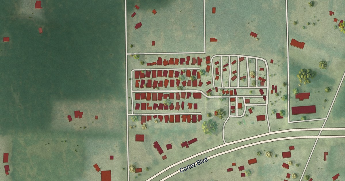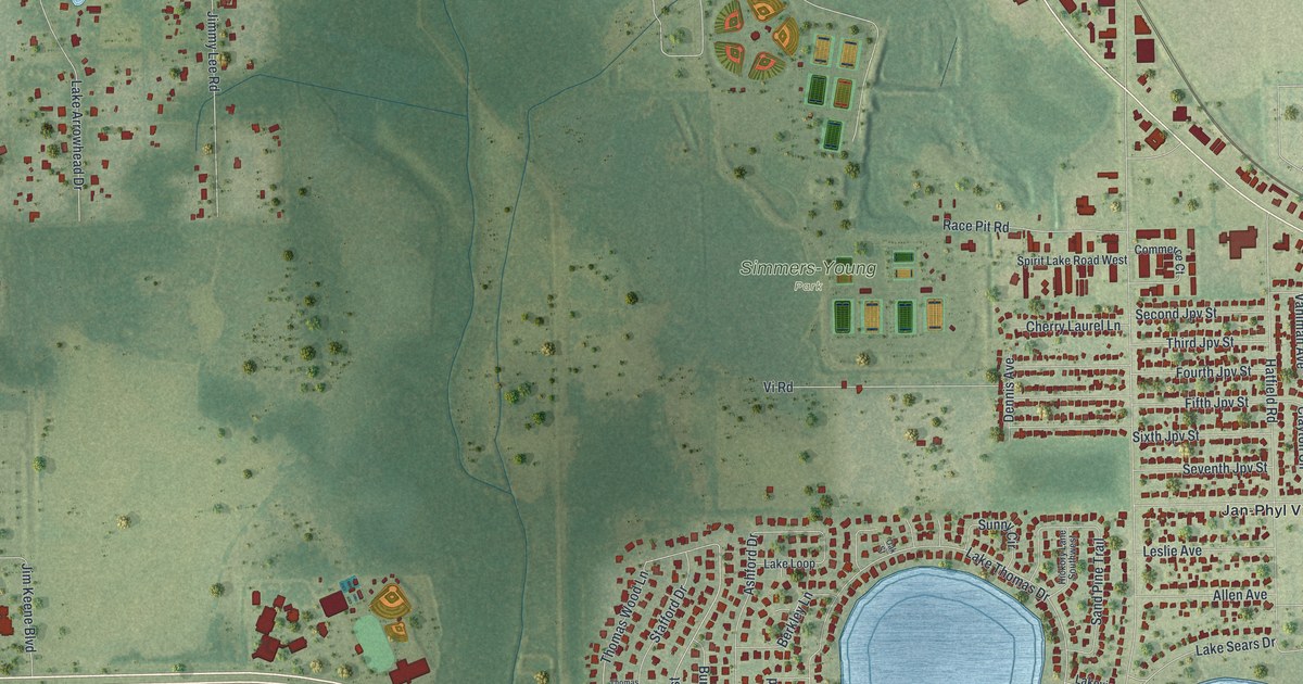
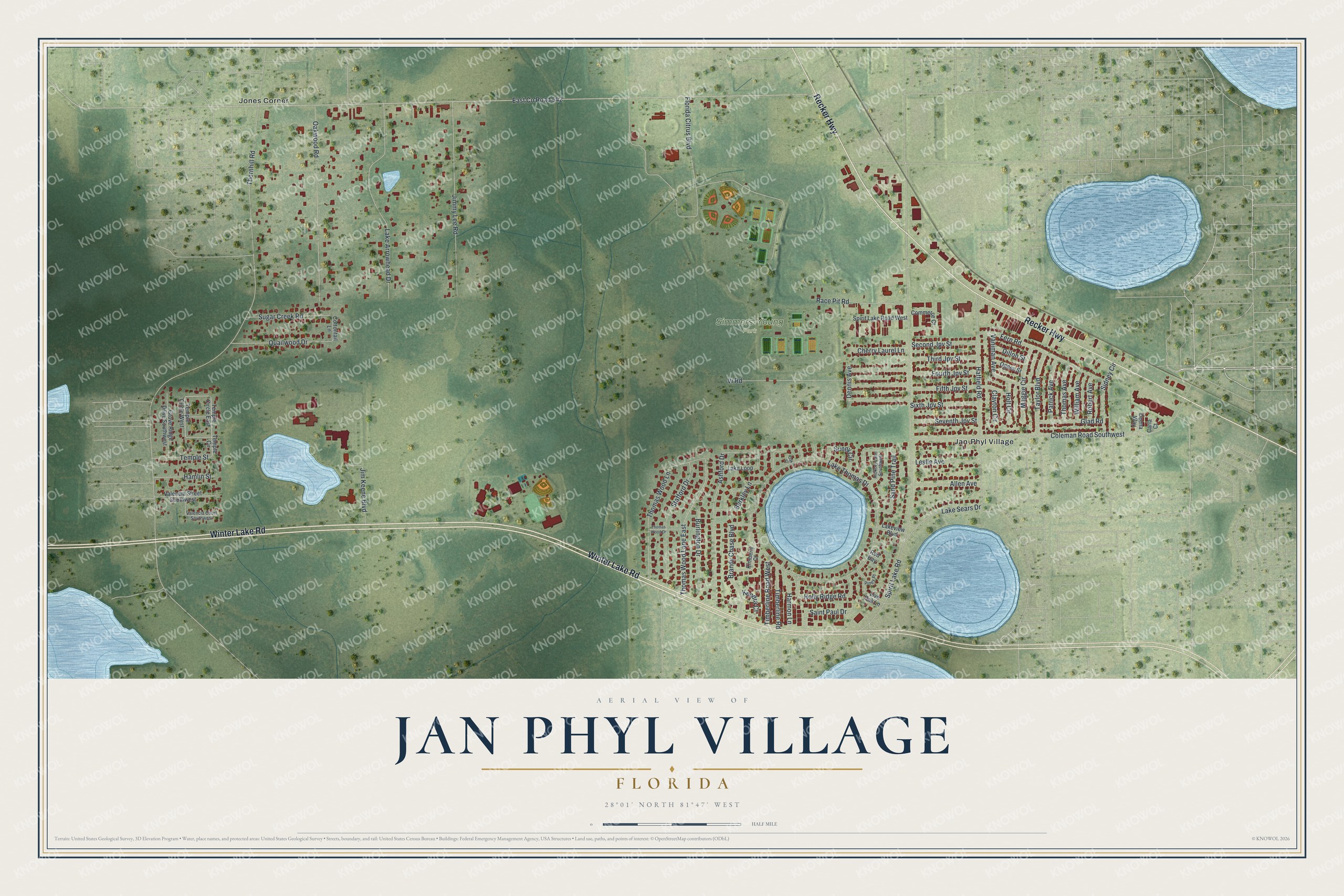
This beautifully detailed map of Jan Phyl Village, Florida was created in 2026 using aerial imagery combined with modern topographical, census, street and landmark data. It's a modern aerial view of Jan Phyl Village in Polk County, Florida, that combines modern data with a vintage aesthetic. The roads feature printed names, and if you look closely you can find your exact house accurately shown in its correct location.
Explore an aerial view of Jan Phyl Village, Florida
On this map you'll find Simmers-Young Park, Jones Corner, Jan-Phyl Village, Winter Lake Road, Recker Highway, Thomas Wood Lane East, East Co Road 542, Thornhill Road, Spirit Lake Road, Lake Thomas Drive, Coleman Road Southwest, Hatfield Road, and more. Each red shape is a building, so zoom in on the preview and look for yours.
Jan Phyl Village is a community in Polk County. The Census Bureau counted 5,927 people here in 2020. Jan Phyl Village sits about 2 miles southwest of Inwood, 4 miles northwest of Eagle Lake and 4 miles southwest of Winter Haven. The map prints the town name in its title panel, with the coordinates below it.
Take a closer look at the Jan Phyl Village map
Names on this map
These names are printed on this map.
Places: Simmers-Young Park, Jones Corner and Jan-Phyl Village.
Streets and roads: Winter Lake Road, Recker Highway, Thomas Wood Lane East, East County Road 542, Thornhill Road, Spirit Lake Road, Lake Thomas Drive, Coleman Road Southwest, Hatfield Road, Lake Arrowhead Drive, Oakwood Road, Jimmy Lee Road.
More street names, A to Z
Allen Avenue, Ashford Drive, Berkley Lane, Brandy Chase Boulevard, Burlington Drive, Carla Court, Cherry Laurel Lane, Clayton Circle, Commerce Court, Cottontail Lane, Deena Way, Dennis Avenue, Dillon Street, Fern Road, Fifth Jpv Street, Florida Citrus Boulevard, Fourth Jpv Street, Glad Road, Grove Ridge Drive Southwest, Hamlin Street, Harmon Lane, Hickory Lane Southwest, Holly Ridge Road, Holt Circle, Jim Keene Boulevard, Kendra Court, Kimberly Court, Lake Loop, Lake Sears Drive, Lakeview Boulevard, Leslie Avenue, Live Oak Lane, Maggie Circle, Oak Street, Ogden Street, Patrick Avenue, Piney Place, Quailwood Drive, Race Pit Road, Red Bay, Robert Avenue, Saint Paul Drive, Sand Pine Trail, Second Jpv Street, Seventh Jpv Street, Sidney Circle, Sixth Jpv Street, Spirit Lake Road West, Stafford Drive, Sugar Creek Road, Sunny Circle, Taylor Boulevard, Temple Circle, Temple Circle East, Temple Circle West, Temple Street, Third Jpv Street, Thomas Avenue, Thomas Wood Drive, Thomas Wood Lane, Timberline Road, Timberline Road West, Valencia Court Southwest, Valencia Street Southwest, Vaniman Avenue, Vi Road, William Avenue.
See it on a wall
The Jan Phyl Village map as a framed print. Swipe for more.


Created by KNOWOL in 2026. The buildings are small red shapes, the roads carry their printed names, and shaded relief shows the shape of the land. The title panel reads "AERIAL VIEW OF JAN PHYL VILLAGE, FLORIDA" with 28°01' NORTH 81°47' WEST.
It suits a den, a classroom or a front hall, and it makes a gift for anyone with Jan Phyl Village roots. Open the preview and find the block you know. See sizes and frames for the Jan Phyl Village map.