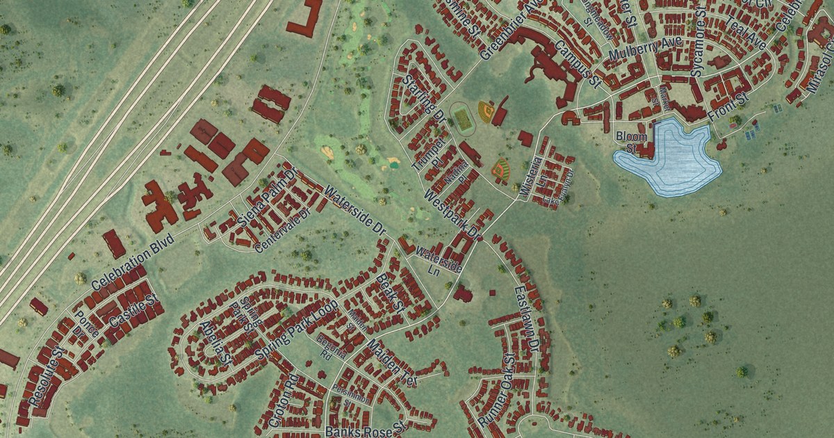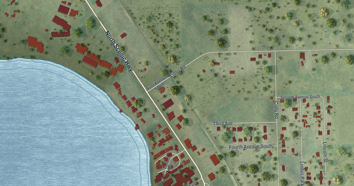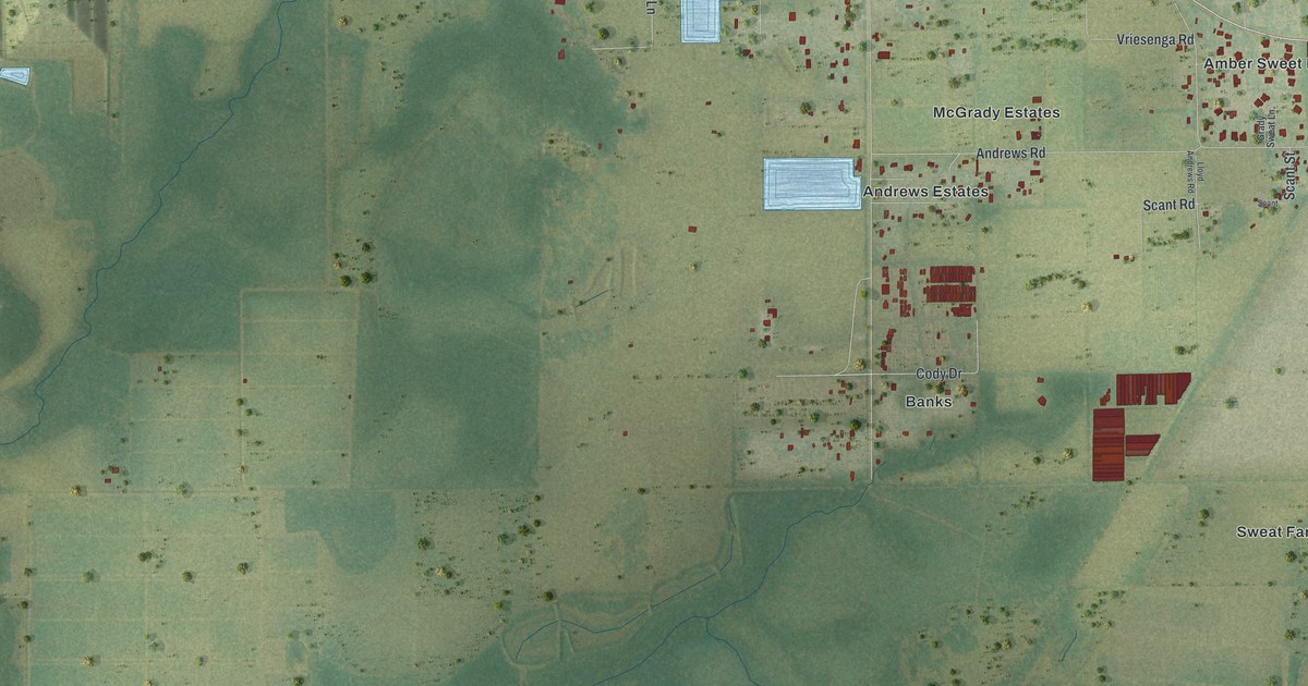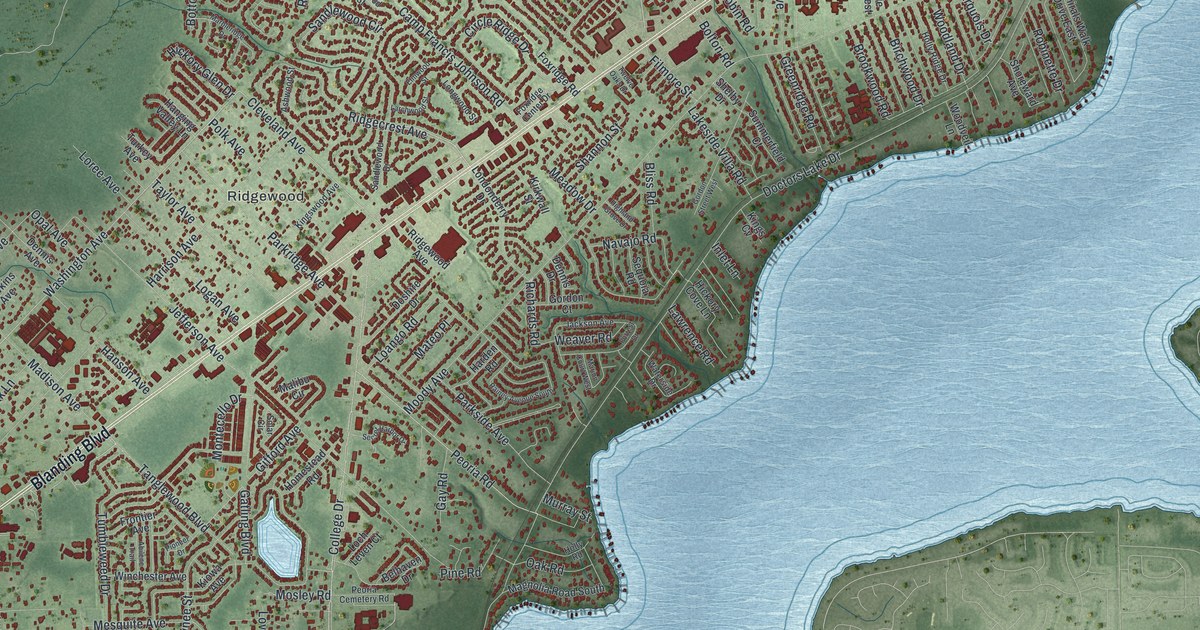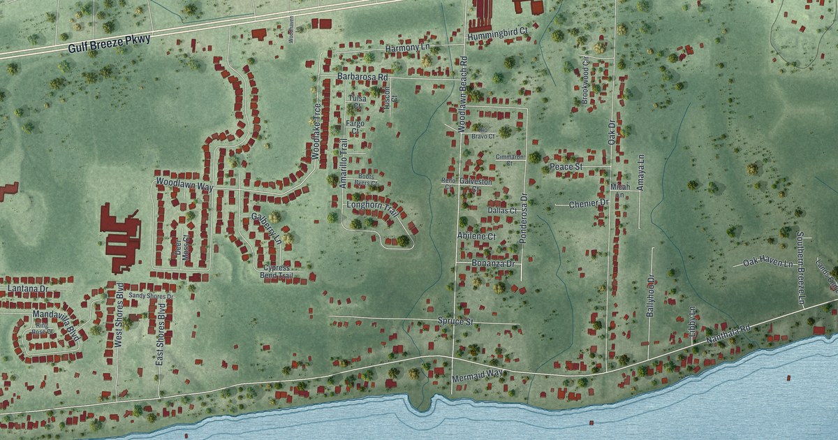
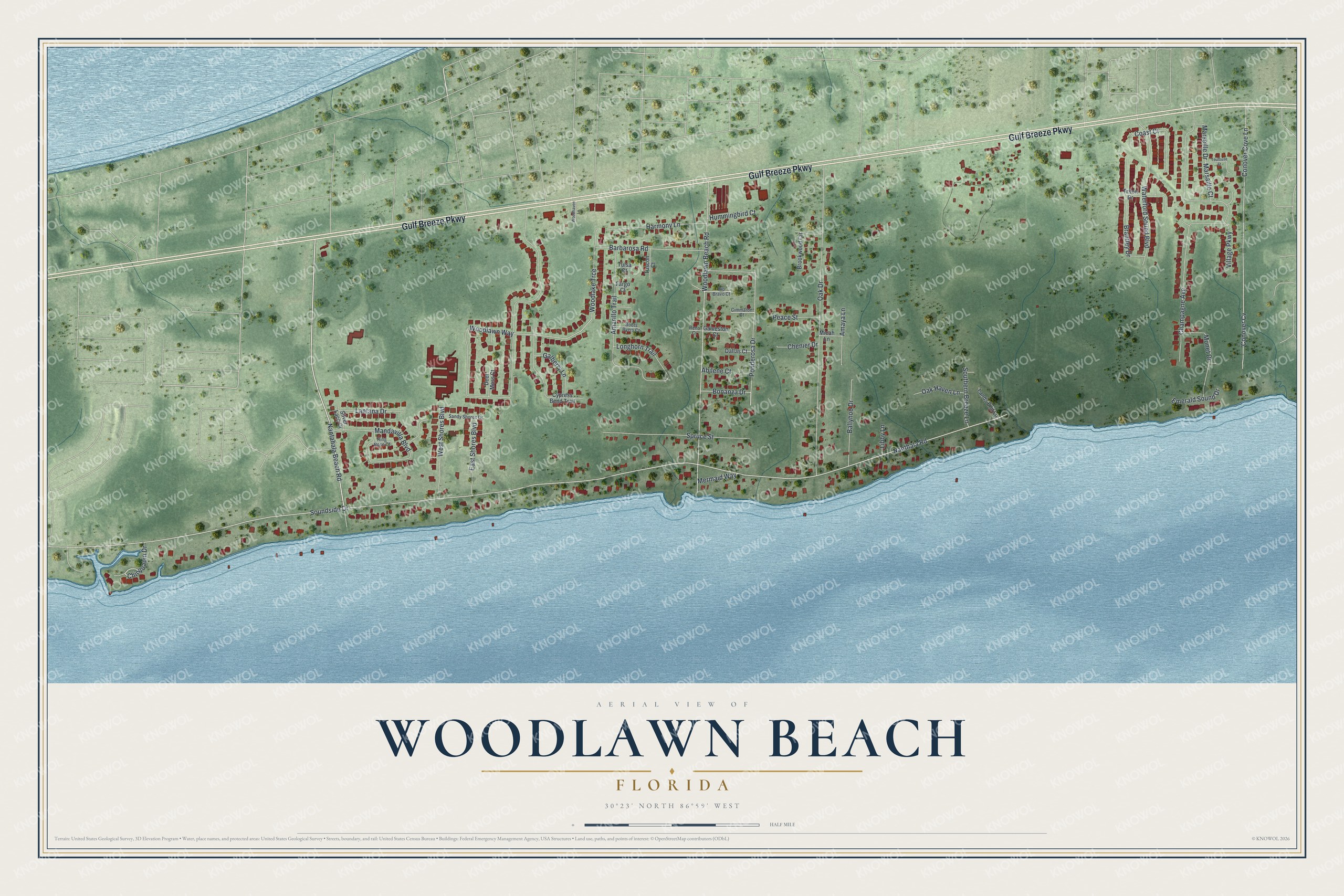
This beautifully detailed map of Woodlawn Beach, Florida was created in 2026 using aerial imagery combined with modern topographical, census, street and landmark data. It's a modern aerial view of Woodlawn Beach in Santa Rosa County, Florida, that combines modern data with a vintage aesthetic. The roads feature printed names, and if you look closely you can find your exact house accurately shown in its correct location.
Explore an aerial view of Woodlawn Beach, Florida
On this map you'll find Gulf Breeze Parkway, Chinquapin Drive, Marsaille Court, Nanthala Road, Soundside Drive, Woodlawn Way, Oak Drive, Woodlawn Beach Road, Nantahala Beach Road, Conover Cove Lane, Conover Cv, Village Parkway, and more. Each red shape is a building, so zoom in on the preview and look for yours.
Here is a piece of Woodlawn Beach history. The Gulf Breeze Zoo opened in 1984 as the Zoo of Northwest Florida, a 19-acre park with about 60 animals. Its founders were Pat Quinn, Bobby Switzer, Bill Pullum and Dr. Jim Potter. On January 20, 2018, the zoo welcomed Katana, its first baby white rhino. That's from the Gulf Breeze Zoo.
Woodlawn Beach is a community in Santa Rosa County. The Census Bureau counted 2,741 people here in 2020. Woodlawn Beach sits about 3 miles east of Tiger Point, 6 miles west of Navarre Beach and 6 miles east of Oriole Beach. The map prints the town name in its title panel, with the coordinates below it.
Take a closer look at the Woodlawn Beach map
Names on this map
These names are printed on this map.
Streets and roads: Gulf Breeze Parkway, Chinquapin Drive, Marsaille Court, Nanthala Road, Soundside Drive, Woodlawn Way, Oak Drive, Woodlawn Beach Road, Nantahala Beach Road, Conover Cove Lane, Conover Cv, Village Parkway.
More street names, A to Z
Abilene Court, Amarillo Trail, Amaya Lane, Ballyhoo Drive, Barbarosa Road, Bonanza Drive, Boots Byers Court, Brantley Drive, Brookwood Circle, Champagne Avenue, Chenier Drive, Cimmaron Court, Coast Court, Cypress Bend Trail, Dallas Court, Deer Moss Court, East Shores Boulevard, Emerald Sound Drive, Fargo Court, Galberry Lane, Galveston Court, Harmony Lane, Hummingbird Court, Lands End Lane, Lantana Drive, Libby Lane, Longhorn Trail, Mandavilla Boulevard, Marseille Drive, Mermaid Way, Micah Lane, Monet Drive, Oak Haven Lane, Peace Street, Ponderosa Drive, Reno Court, Ring Rose Court, Rio Bravo Court, Sandy Shores Drive, Silver Lace Court, Southern Breeze Lane, Spruce Street, Toulouse Street, Triton Drive, Tulsa Court, Tuscon Court, Waterford Sound Boulevard, West Shores Boulevard, Woodhaven Lane, Woodlake Trce.
See it on a wall
The Woodlawn Beach map as a framed print. Swipe for more.


Created by KNOWOL in 2026. The buildings are small red shapes, the roads carry their printed names, and shaded relief shows the shape of the land. The title panel reads "AERIAL VIEW OF WOODLAWN BEACH, FLORIDA" with 30°23' NORTH 86°59' WEST.
It suits a den, a classroom or a front hall, and it makes a gift for anyone with Woodlawn Beach roots. Open the preview and find the block you know. See sizes and frames for the Woodlawn Beach map.