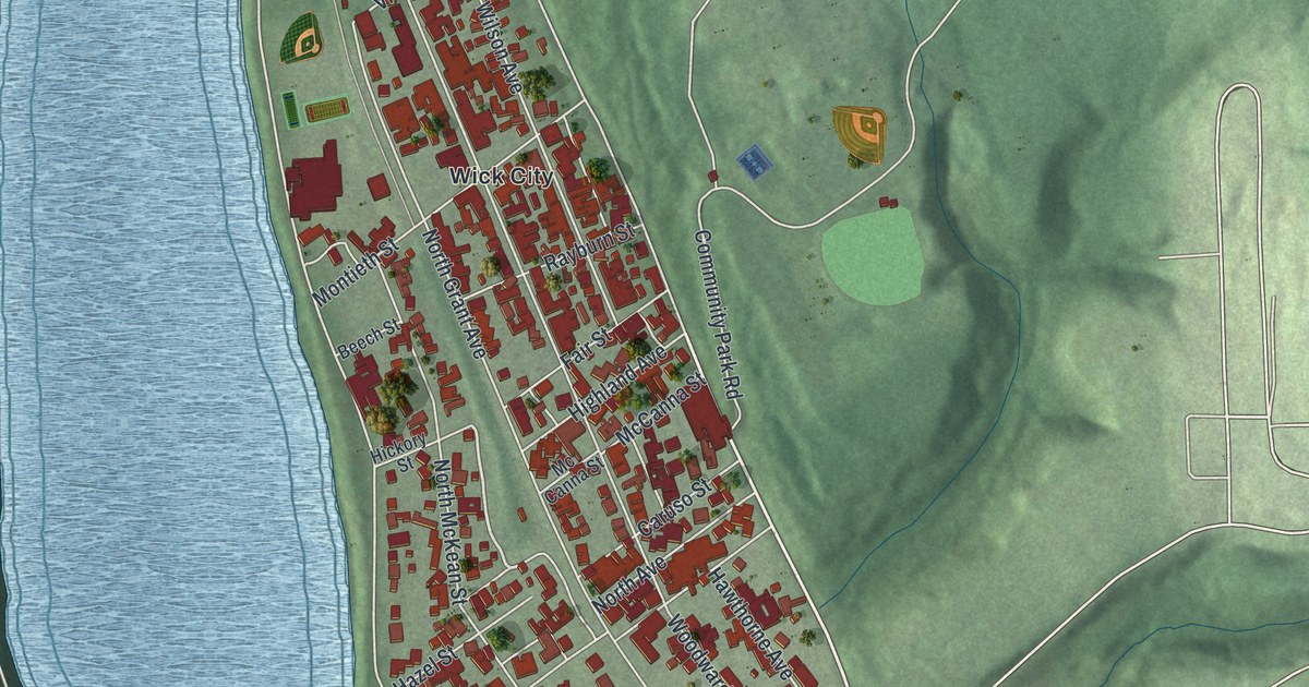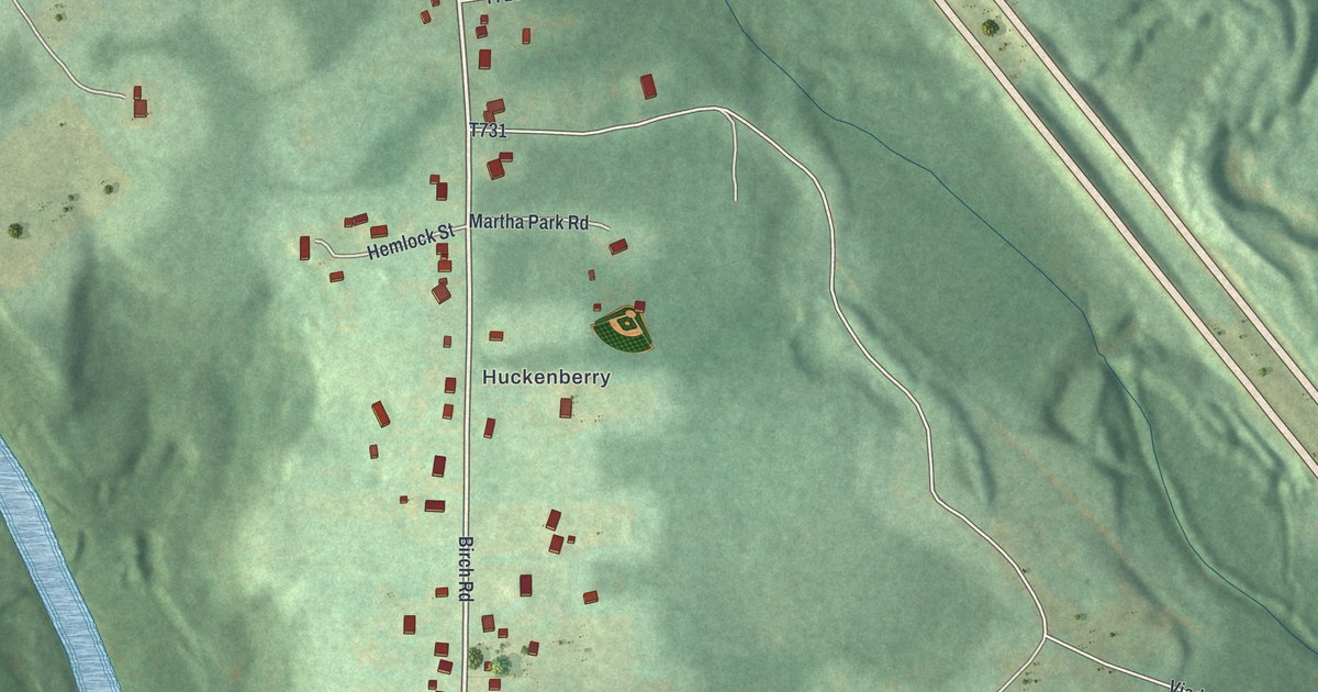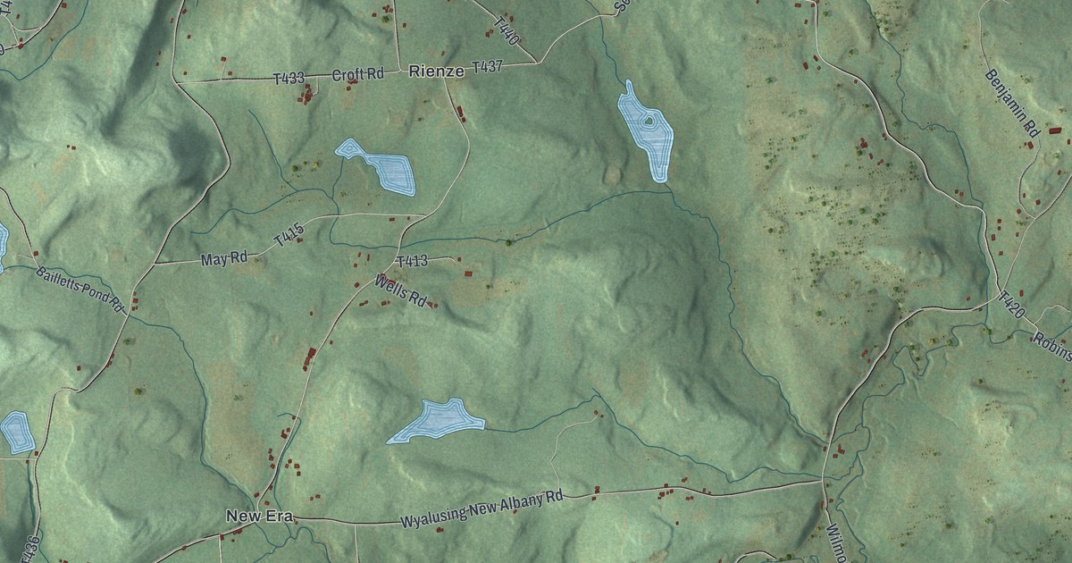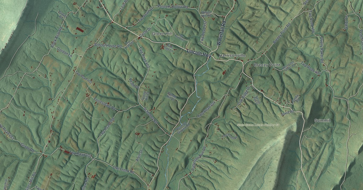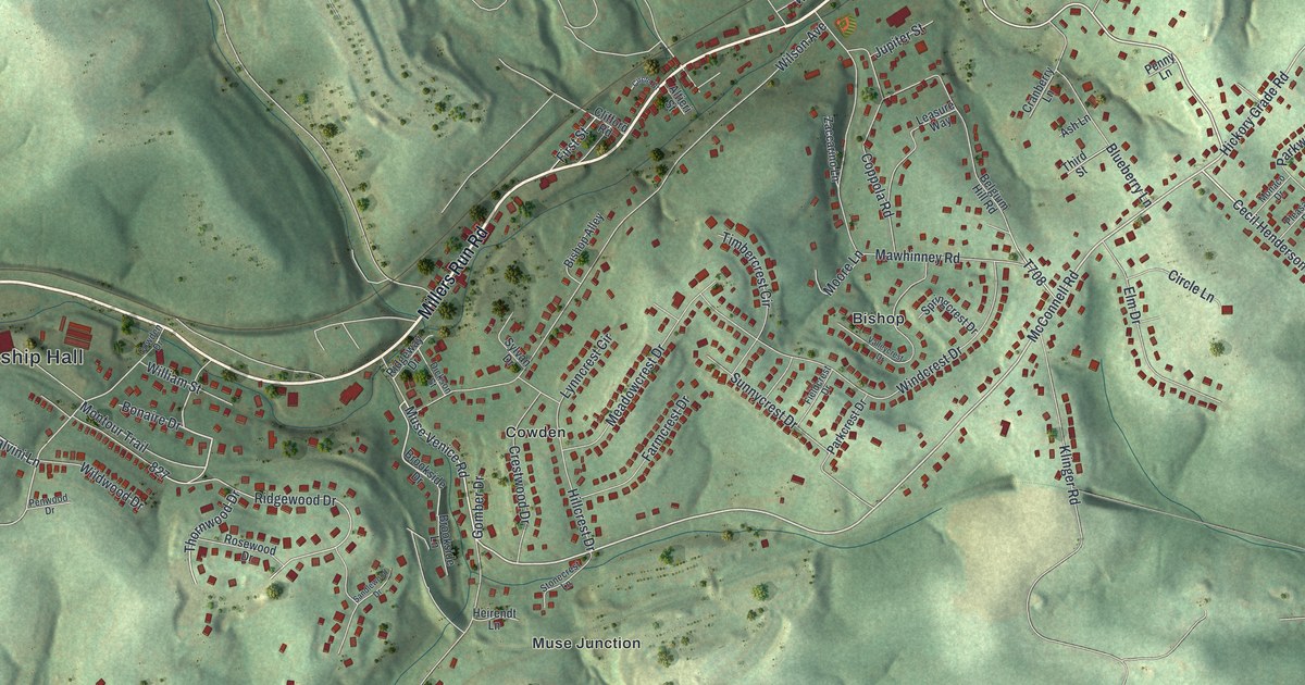
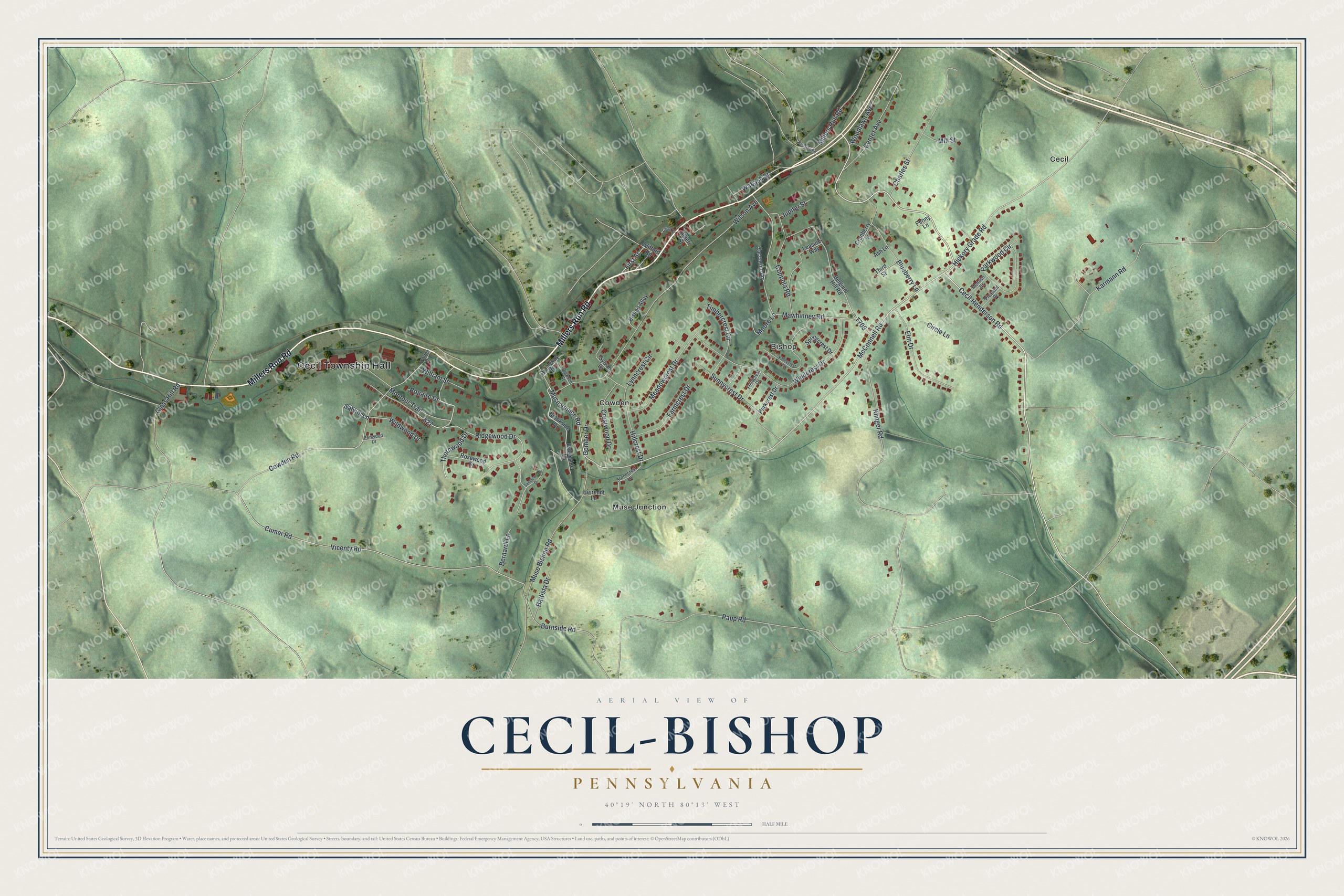
This beautifully detailed map of Cecil-Bishop, Pennsylvania was created in 2026 using aerial imagery combined with modern topographical, census, street and landmark data. It's a modern aerial view of Cecil-Bishop in Washington County, Pennsylvania, that combines modern data with a vintage aesthetic. The roads feature printed names, and if you look closely you can find your exact house accurately shown in its correct location.
Explore an aerial view of Cecil-Bishop, Pennsylvania
On this map you'll find Cecil Township Hall, Cecil, Bishop, Muse Junction, Cowden, Millers Run Road, McConnell Road, Cecil Henderson Road, Muse Venice Road, Hickory Grade Road, Ridgewood Drive, Thornwood Drive, and more. Each red shape is a building, so zoom in on the preview and look for yours.
Cecil-Bishop has a story worth telling. Bishop began in 1892, when a railroad branch was extended to it from Cecil, and it grew into a mining town at the mines of the Pittsburg Coal Company. In its early years the town had 25 houses for miners, a supply store and a butcher shop, and about 100 people lived there in 1900. That's from the 20th Century History of Washington County.
Cecil-Bishop is a community in Washington County. The Census Bureau counted 2,730 people here in 2020. Cecil-Bishop sits about 2 miles north of Southpointe, 2 miles north of Muse and 2 miles northwest of Hendersonville. The map prints the town name in its title panel, with the coordinates below it.
Take a closer look at the Cecil-Bishop map
Names on this map
These names are printed on this map.
Places: Cecil Township Hall, Cecil, Bishop, Muse Junction and Cowden.
Streets and roads: Millers Run Road, McConnell Road, Cecil Henderson Road, Muse Venice Road, Hickory Grade Road, Ridgewood Drive, Thornwood Drive, Cowden Road, Cumer Road, Papp Road, Klinger Road, Vicenty Road.
More street names, A to Z
Altieri Street, Ash Lane, Battista Drive, Belgium Hill Road, Bernardi Lane, Bishop Alley, Blueberry Lane, Bonaire Drive, Brookside Drive, Brookside Lane, Burnside Road, Center Avenue, Charles Street, Circle Drive, Circle Lane, Clifford Road, Coppola Road, Cowden Drive, Cranberry Lane, Crestwood Drive, Dickson Street, Elm Drive, Farmcrest Drive, Fieldcrest Drive, First Street, Glass Hill Road, Gomber Drive, Heirendt Lane, Hillcrest Drive, Jupiter Street, Karmann Road, Leasure Way, Lynncrest Circle, Mawhinney Road, Meadowcrest Drive, Mill Street, Monaco Drive, Montour Trail, Moore Lane, Muse Bishop Road, Parkcrest Drive, Parkwood Circle, Penny Lane, Penwood Drive, Pleasant Drive, Reissing Road, Ridgeway Drive, Rosewood Drive, Salvini Lane, Sandlewood Drive, Springcrest Drive, Stonecrest Lane, Sunnycrest Drive, Sylvan Drive, Third Street, Timbercrest Circle, Valleycrest Drive, Wabash Street, Wildwood Drive, William Street, Wilson Avenue, Windcrest Drive, Woodlawn Avenue, Zaccarino Lane.
See it on a wall
The Cecil-Bishop map as a framed print. Swipe for more.


Created by KNOWOL in 2026. The buildings are small red shapes, the roads carry their printed names, and shaded relief shows the shape of the land. The title panel reads "AERIAL VIEW OF CECIL-BISHOP, PENNSYLVANIA" with 40°19' NORTH 80°13' WEST.
It looks right in a kitchen, an office or a den, and it's a gift for anyone who grew up in Cecil-Bishop or moved away. Open the preview and find your street. See sizes and frames for the Cecil-Bishop map.