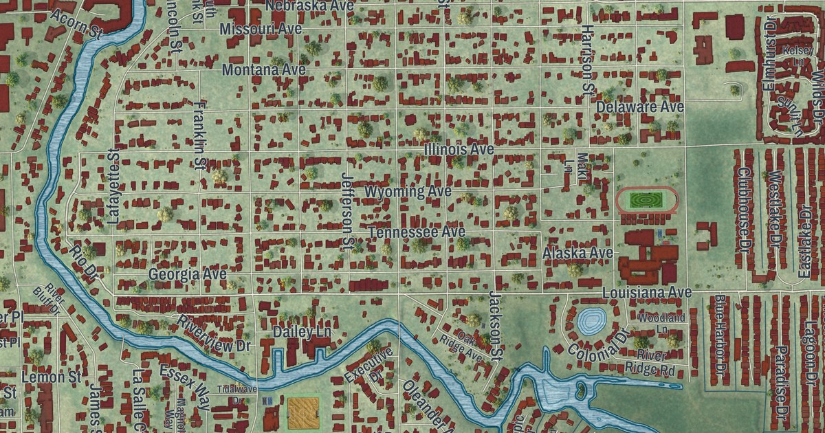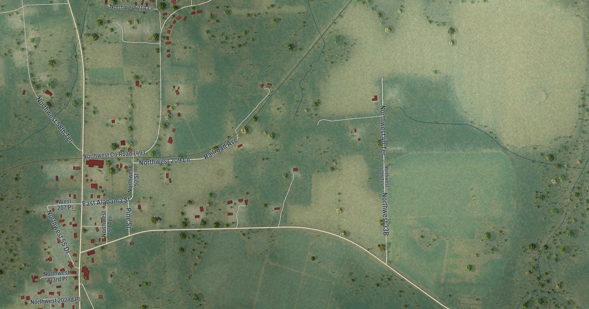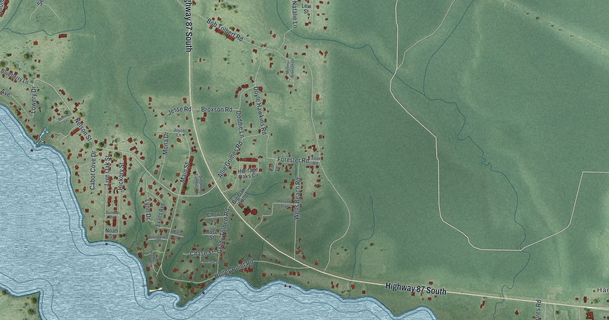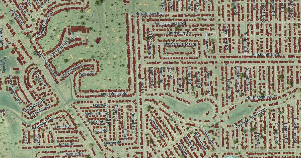
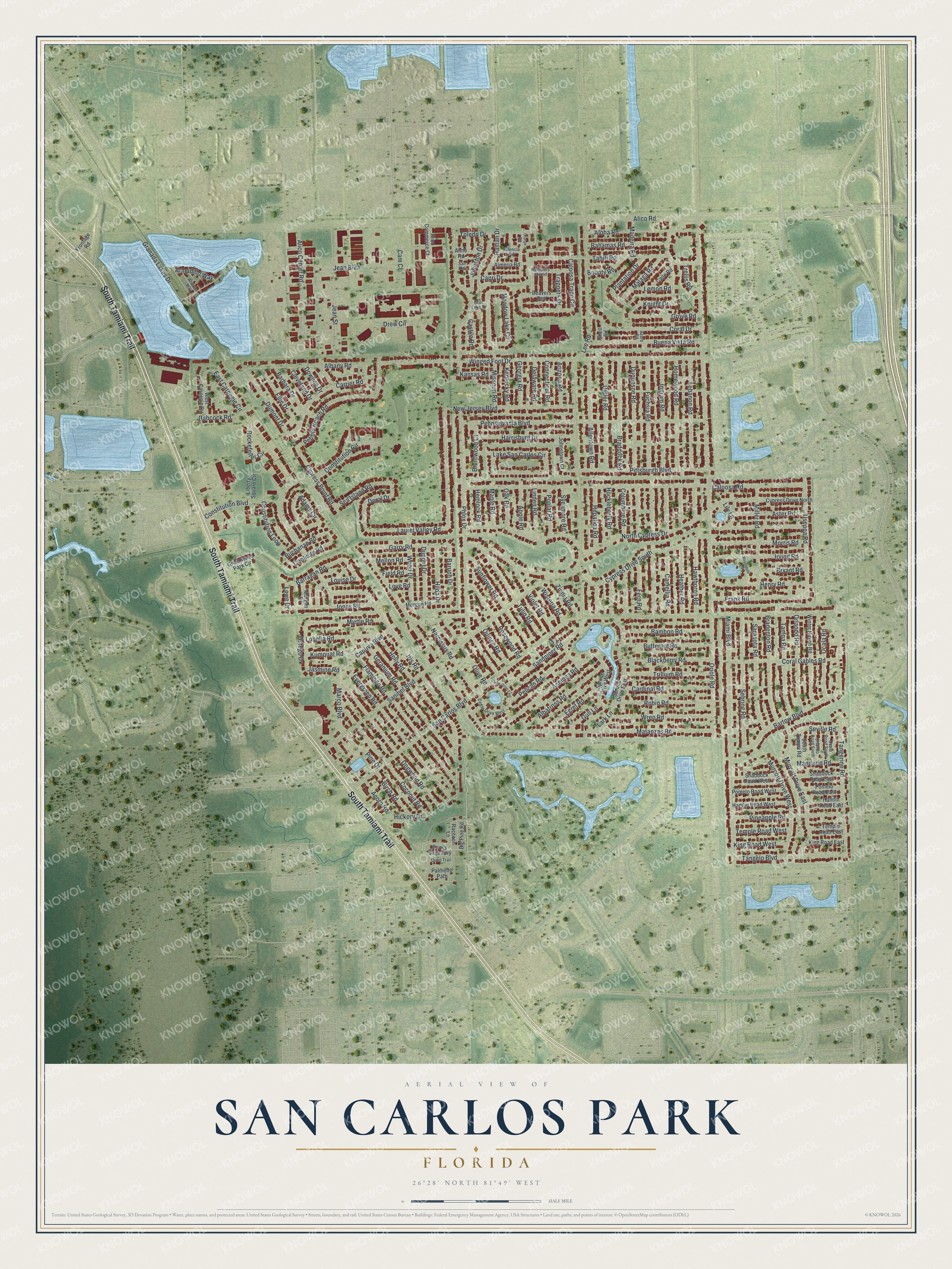
This beautifully detailed map of San Carlos Park, Florida was created in 2026 using aerial imagery combined with modern topographical, census, street and landmark data. It’s a one-of-a-kind view of San Carlos Park that combines accurate data with a vintage aesthetic. The map shows every building in its true location, many of the roads carry their names, and the shaded topographic relief shows the shape of the land.
Explore an aerial view of San Carlos Park, Florida
On the map you’ll find South Tamiami Trail, Caloosa Trace Circle, Laurel Valley Road, Doral Drive, Rockefeller Circle, Baruch Drive, Cam Court, Garry Road, East Carnegie Circle, Pittsburgh Boulevard, Pebble Beach Road, Constitution Boulevard, and more. San Carlos Park sits about 3 miles west of Florida Gulf Coast University, 4 miles north of Estero and 6 miles southeast of Villas. If you look closely you can even find your house accurately drawn in its correct location. Zoom in on the preview to look for yours.
Take a closer look at the San Carlos Park map
Names on this map
These names are printed on this map.
Streets and roads: South Tamiami Trail, Caloosa Trace Circle, Laurel Valley Road, Doral Drive, Rockefeller Circle, Baruch Drive, Cam Court, Garry Road, East Carnegie Circle, Pittsburgh Boulevard, Pebble Beach Road, Constitution Boulevard.
More street names, A to Z
Acorn Road, Adams Circle, Albany Road, Albatross Road, Alico Center Road, Alico Commerce Court, Alico Road, Allentown Road, Almeria Road, Almo Road, Aloha Road, Anhinga Road, Apple Road, Arizona Road, Armadillo Way, Aster Road, Atwater Way, Azure Road, Babcock Road, Bahamas Road, Bamboo Road, Barbara Drive, Barragan Road, Bartow Boulevard, Beavers Den, Big Pine Road, Birch Road, Blackberry Road, Bounty Road, Braddock Road, Bradenton Road, Brentwood Court, Briar Lake Drive, Bryant Road, Buchanan Road, Buena Vista Road, Butler Road, Butternut Road, Caloosa Road, Camellia Road, Cane Road, Capri Drive, Captiva Boulevard, Cardinal Road, Carrier Road, Castile Road, Cedar Drive East, Cedar Drive West, Cleveland Drive, Coconut Road, Columbine Road, Connecticut Road, Constitution Circle, Constitution Loop, Coolidge Road, Coral Drive, Coral Gables Road, Cypress Drive North, Cypress Drive South, Cypress Point Road, Delaware Road, Dogwood Road, Dowling Drive, Drew Circle, Dumont Drive, Dupont Drive, Duquesne Road, Egret Road, Ellie Drive, Evergreen Road, Fern Road, Field Road, Flamingo Road, Frank Road, Frontage Road, Fuchsia Road, Georgia Road, Geranium Road, Granada Lakes Drive, Greenwood Park Circle, Grove Road, Gull Lane, Haitian Drive, Hamlin Road East, Hamlin Road West, Harrisburg Drive, Hawthorne Road, Heather Road, Hemlock Road, Henry Road, Hepatica Road, Hickory Drive, Hilda Drive, Holly Road, Homewood Road, Huckleberry Road, Ingram Road, Iris Road, Irving Road, Jasmine Road, Jean Boulevard, Jean Street, Johnston Drive, Johnstown Court, Jonas Road, Kansas Road, Kentucky Road, King Road East, King Road West, Knight Drive, Kumquat Road, Lake San Carlos Circle, Lark Lane, Lebanon Road, Lee Road, Lemon Road, Liberty Square Circle, Lily Lane, Linden Road, Lobelia Road, Louise Drive, Love Road, Lowe Drive, Madeira Road, Malaga Road, Mandarin Road, Maple Road, Marco Boulevard, Matanzas Road, Meadow Lake Circle, Mellon Road, Miami Boulevard, Miller Road, Missouri Road, Morgan Drive, Morgan Road, Morris Road, Murcott Drive East, Murcott Drive West, Myrtle Road, Narcissus Road, New Jersey Boulevard, North Cypress Drive, Oak Road, Ocala Road, Ocala Road South, Olive Road, Orange Road, Oriole Road, Orlando Road, Orlando Road South, Ostego Drive, Palmetto Path, Pelican Road, Pennsylvania Boulevard, Phlox Drive, Pineapple Road, Pine Drive, Plantation Drive, Pomelo Road East, Pomelo Road West, Poplar Road, Quail Trail, Quince Road, Raccoon Lane, Ramblers Strand, Robin Road, Roseapple Lane, Rosewood Road, San Carlos Boulevard, Sandpiper Road, Sanibel Boulevard, San Road, Sarasota Road, Sea Island Road, Sebring Road, Seville Road, Shaddock Road East, Shaddock Road West, Shell Road, South Tampa Road, Spruce Drive East, Spruce Drive West, Sunflower Road, Sunny Sage Highway, Sycamore Road, Tahiti Road, Tampa Road, Tangelo Boulevard, Tangerine Road, Temple Road East, Temple Road West, Toledo Drive, Trappers Drive, Trellis Road, Trillium Road, Tulip Road, Useppa Road, Valencia Road, Violet Road, West Carnegie Circle, Winged Foot Drive, Winter Haven Road, Wisteria Road, Wood Drive, Wren Road, Zinnia Road.
See it on a wall
The San Carlos Park map as a framed print. Swipe for more.


This beautifully detailed map of San Carlos Park makes an attractive addition to your office, library, or den, and it can even be used to teach children the geography and history of the area. It also makes a great gift for anyone who grew up in San Carlos Park or moved away. When you’re done exploring, click here to get your copy of the San Carlos Park map.