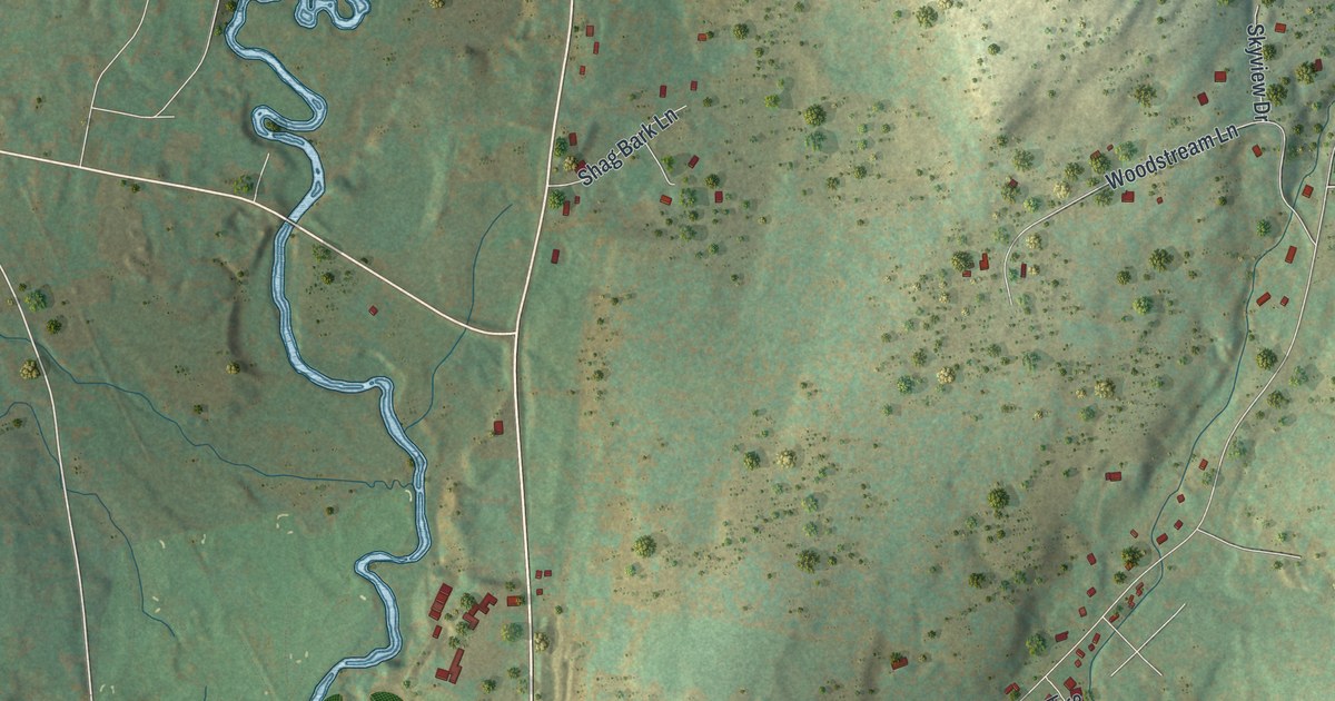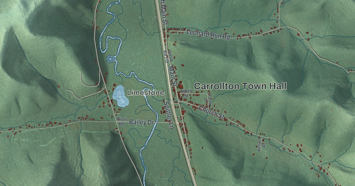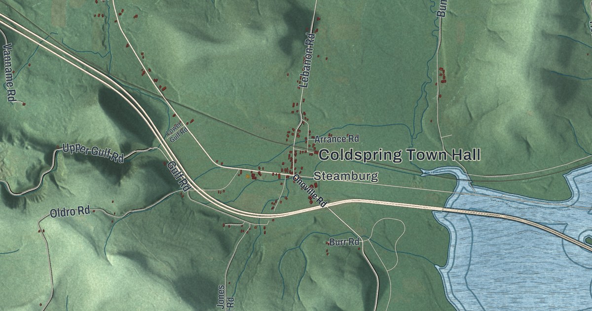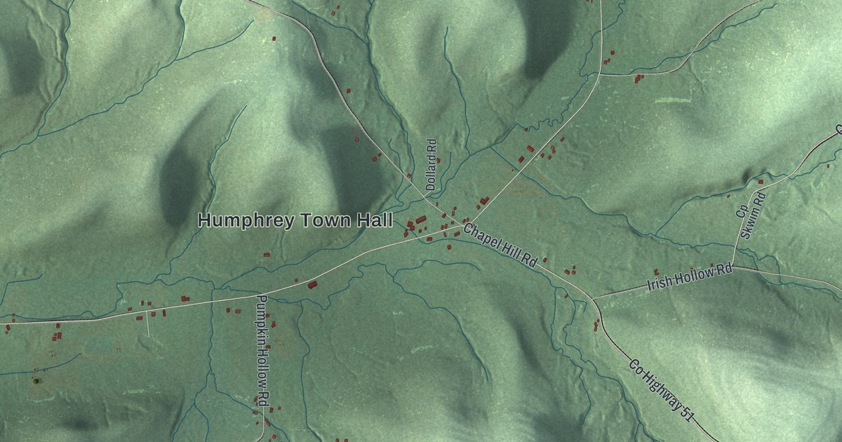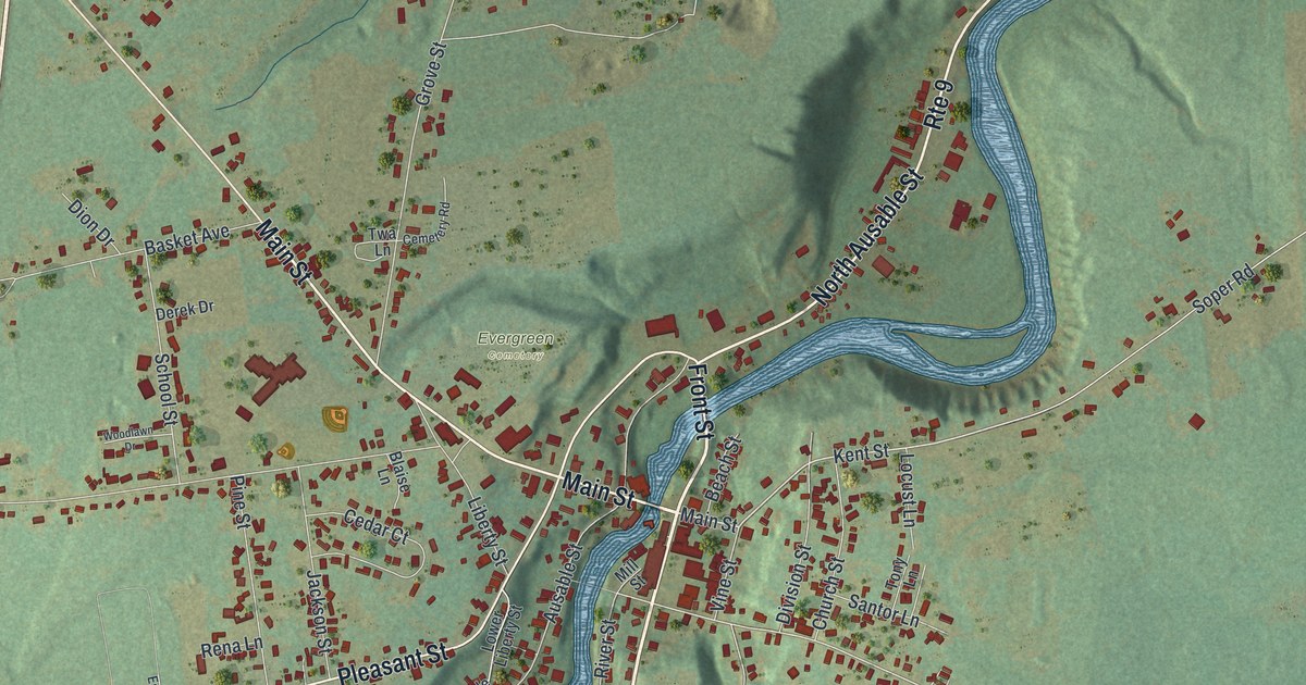
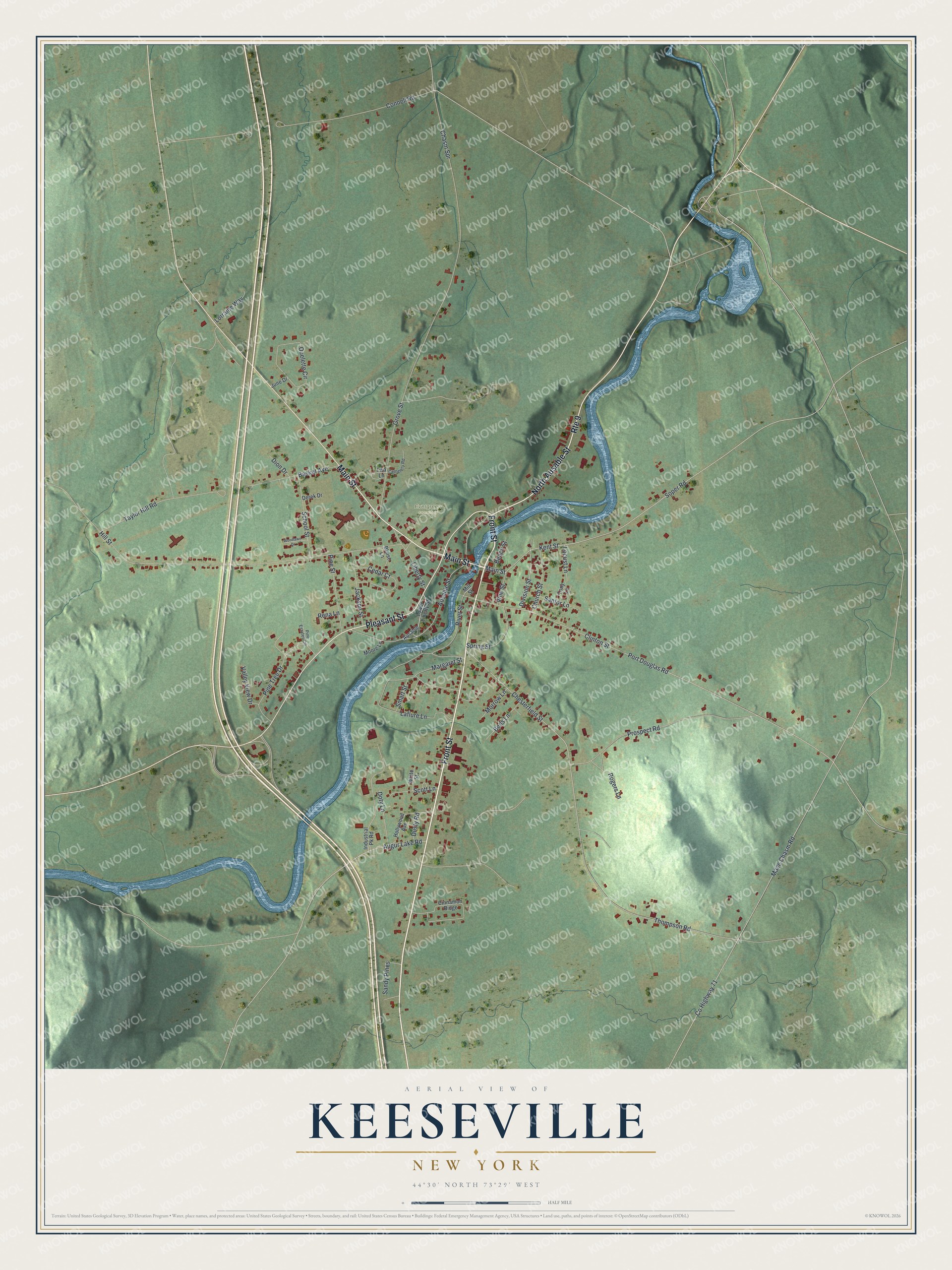
This beautifully detailed map of Keeseville, New York was created in 2026 using aerial imagery combined with modern topographical, census, street and landmark data. It's a modern aerial view of Keeseville in Essex County, New York, that combines modern data with a vintage aesthetic. The roads feature printed names, and if you look closely you can find your exact house accurately shown in its correct location.
Explore an aerial view of Keeseville, New York
On this map you'll find Evergreen Cemetery, Main Street, Front Street, Pleasant Street, North Ausable Street, Kent Street, Chesterfield Street, Ausable Street, Thompson Road, Clinton Street, Liberty Street, Margaret Street, and more. Each red shape is a building, so zoom in on the preview and look for yours.
Keeseville has a story worth telling. Keeseville was first called Anderson's Falls, after John W. Anderson, who settled there when he was almost the only person in the place. When the village got its post office, it took its present name in honor of Richard Keese, a partner of Anderson's. By the early 1840s, Keeseville was the business center for the great iron and lumber district of the Au Sable valley. That's from the Barber and Howe Historical Collections.
Keeseville is a community in Essex County. The Census Bureau counted 2,931 people here in 2020. Keeseville sits about 6 miles southeast of Peru, 8 miles northwest of Willsboro Point and 10 miles east of Au Sable Forks. The map prints the town name in its title panel, with the coordinates below it.
Take a closer look at the Keeseville map
Names on this map
These names are printed on this map.
Places: Evergreen Cemetery.
Streets and roads: Main Street, Front Street, Pleasant Street, North Ausable Street, Route 9, Kent Street, Chesterfield Street, Ausable Street, Thompson Road, Clinton Street, Liberty Street, Margaret Street.
More street names, A to Z
Augur Lake Road, Ausable, Basket Avenue, Beach Street, Bens Lane, Blaise Lane, Cedar Court, Cemetery Road, Chasm Spr, Church Street, Cinnamon Ridge, Connell Road, County Highway 71, Derek Drive, Dion Drive, Division Street, Doty Lane, Dusty Road, Grove Street, Hill Street, Hollywood Avenue, Industrial Pk Road, Jackson Street, June Drive, Laflure Lane, Locust Lane, Lorraine Way, Lower Liberty Street, Mace Chasm Road, Mill Street, Moore Lane, Morrow Lane, Ouelette Circle, Pine Estates Circle, Pine Street, Pine Tree Drive, Port Douglas Road, Prospect Road, Rena Lane, River Street, Rogers Lane, Sandy Pines, Santor Lane, School Street, Scott Lane, Smart Street, Soper Road, Spring Street, Taylor Hill Road, Tony Lane, Twa Lane, Valley View Drive, Vine Street, White Street, Woodlawn Drive.
See it on a wall
The Keeseville map as a framed print. Swipe for more.


Created by KNOWOL in 2026. The buildings are small red shapes, the roads carry their printed names, and shaded relief shows the shape of the land. The title panel reads "AERIAL VIEW OF KEESEVILLE, NEW YORK" with 44°30' NORTH 73°29' WEST.
It looks right in a kitchen, an office or a den, and it's a gift for anyone who grew up in Keeseville or moved away. Open the preview and find your street. See sizes and frames for the Keeseville map.