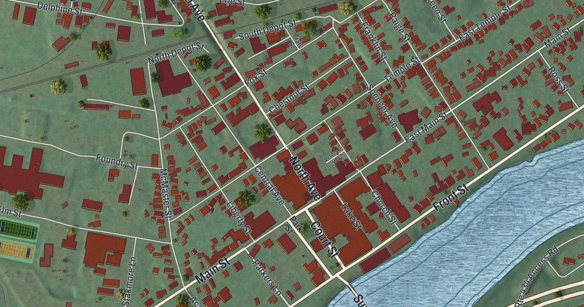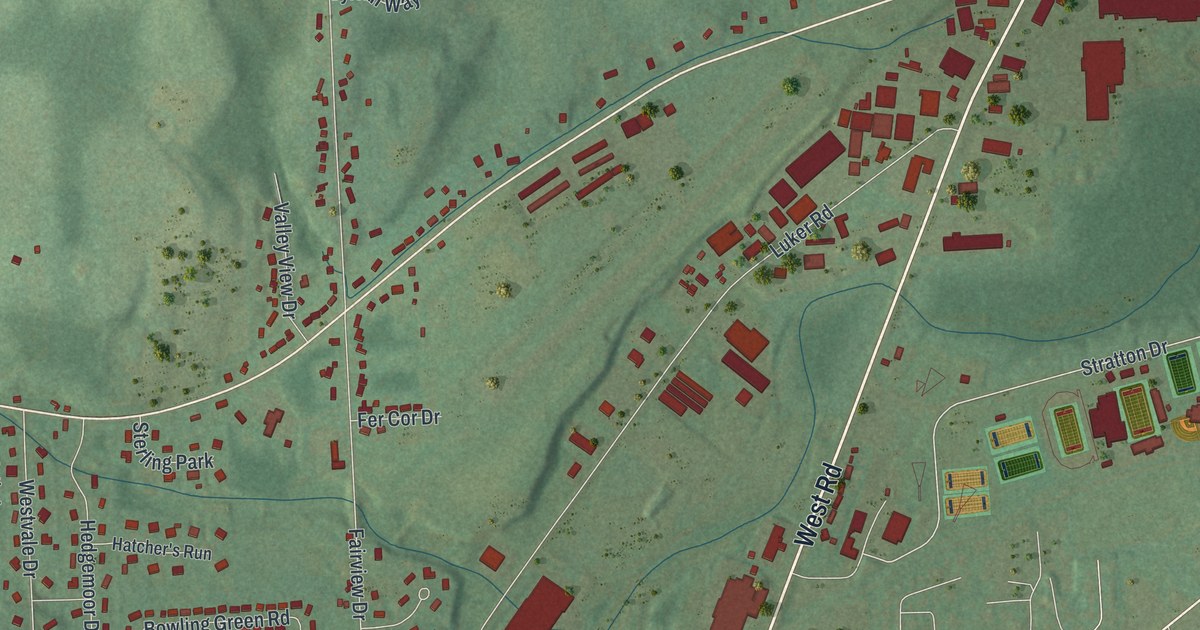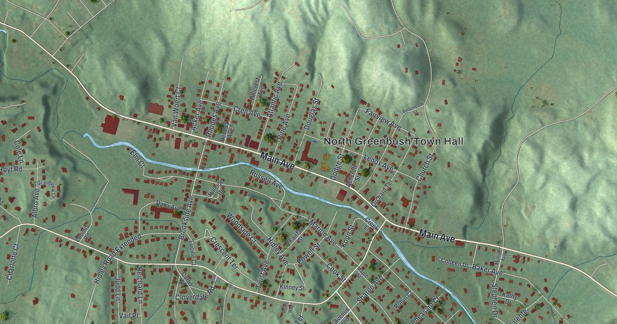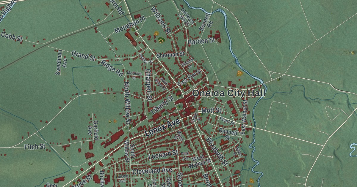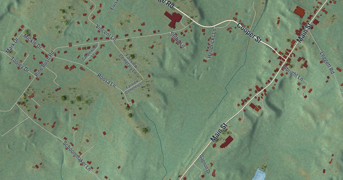
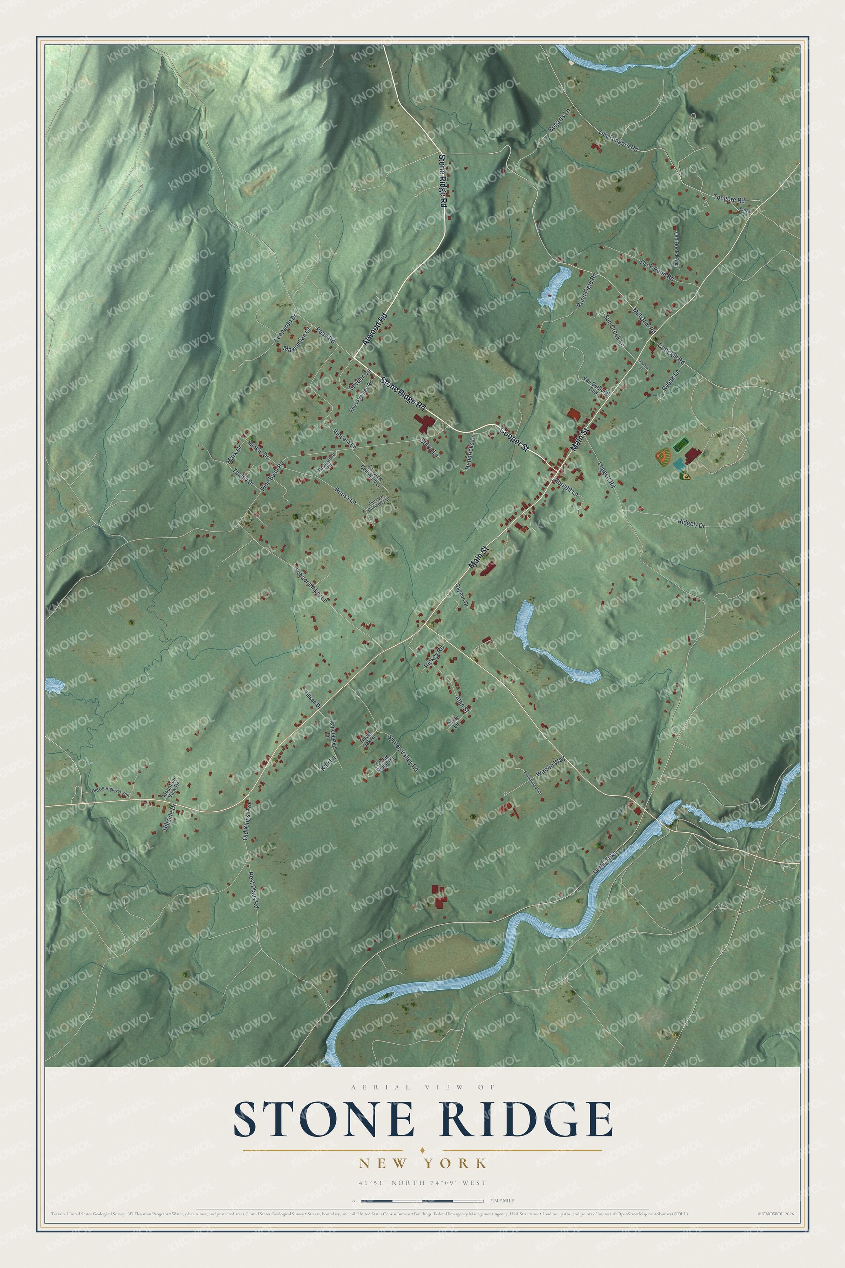
This beautifully detailed map of Stone Ridge, New York was created in 2026 using aerial imagery combined with modern topographical, census, street and landmark data. It's a modern aerial view of Stone Ridge in Ulster County, New York, that combines modern data with a vintage aesthetic. The roads feature printed names, and if you look closely you can find your exact house accurately shown in its correct location.
Explore an aerial view of Stone Ridge, New York
On this map you'll find Stone Ridge Road, Cooper Street, Atwood Road, Main Street, Mill Dam Road, Lucas Turnpike, Leggett Road, Pine Bush Road, Old Tongore Road, Tongore Road, Rest Plaus Road, Schoonmaker Lane, and more. Each red shape is a building, so zoom in on the preview and look for yours.
Stone Ridge is a community in Ulster County. The Census Bureau counted 1,234 people here in 2020. Stone Ridge sits about 2 miles northwest of High Falls, 4 miles west of Rosendale and 4 miles west of Tillson. The map prints the town name in its title panel, with the coordinates below it.
Take a closer look at the Stone Ridge map
Names on this map
These names are printed on this map.
Streets and roads: Stone Ridge Road, Cooper Street, Atwood Road, Main Street, Mill Dam Road, Lucas Turnpike, Leggett Road, Pine Bush Road, Old Tongore Road, Tongore Road, Rest Plaus Road, Schoonmaker Lane.
More street names, A to Z
Alan Street, Albright Lane, Basten Lane, Bogarts Lane, Candlewood Lane, Cedar Ridge Road, Cindy Lane, Cottekill Road, Duck Pond Road, Elvis Presley Road, Fairview Cemetary Lane, Fairview Cemetery Lane, Gagnon Drive, Hendricks Lane, Hillside Drive, Jacobsen Lane, Kali Lane, Kapetanakis Lane, Leonardo Drive, Mark Drive, Maximilian Court, Mickle Drive, Mountain View Drive, Old Duck Pond, Old Kings Highway, Old US Highway 209, Palomino Path, Peak Road, Pond Field Road, Rickey Road, Ridgely Drive, Roosa Lane, Royal Oak Road, Rybak Lane, Snyder Circle, Spruce Valley Road, Stilba Lane, Sun Creek Lane, Tillson Drive, Tooley Drive, Van Derburgh Clos, Vincent Lane, Warren Way.
See it on a wall
The Stone Ridge map as a framed print. Swipe for more.


Created by KNOWOL in 2026. The buildings are small red shapes, the roads carry their printed names, and shaded relief shows the shape of the land. The title panel reads "AERIAL VIEW OF STONE RIDGE, NEW YORK" with 41°51' NORTH 74°09' WEST.
Hang it in the hallway, the office or the cabin, or give it to someone who left Stone Ridge and still calls it home. Open the preview and look for a street you know. See sizes and frames for the Stone Ridge map.