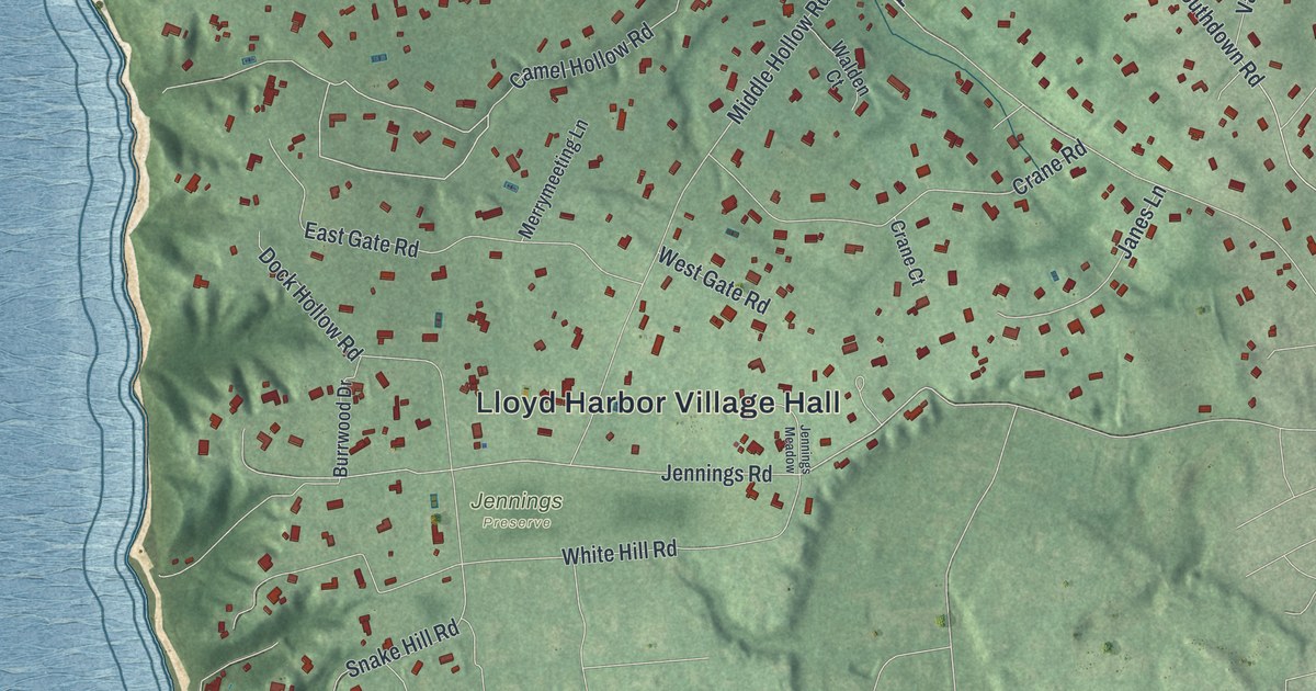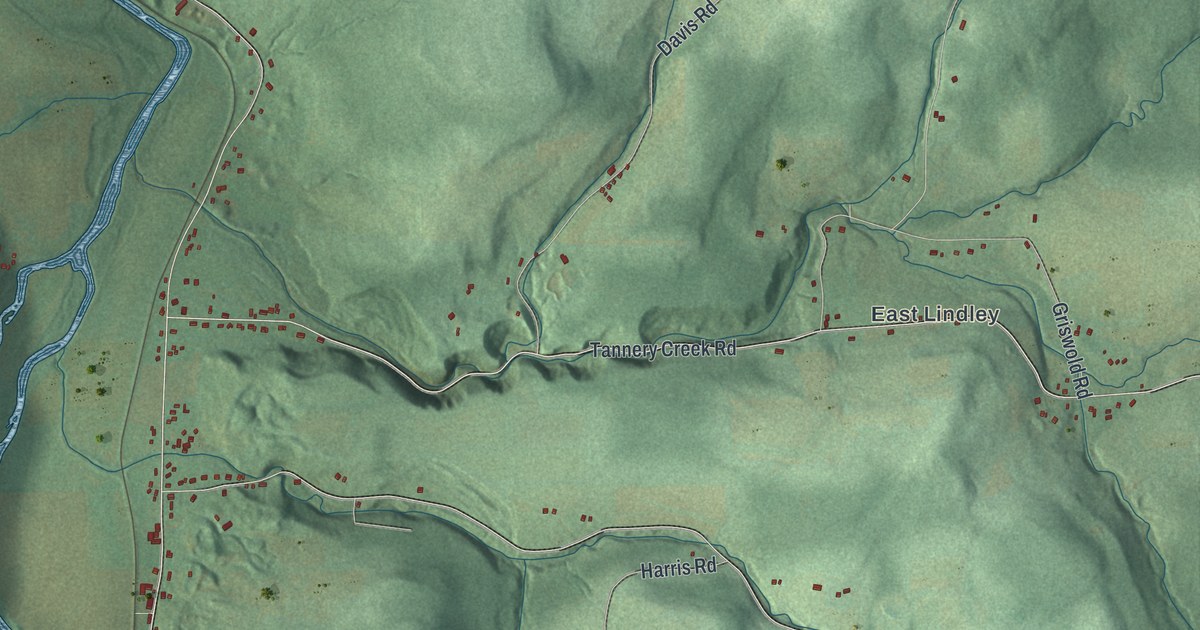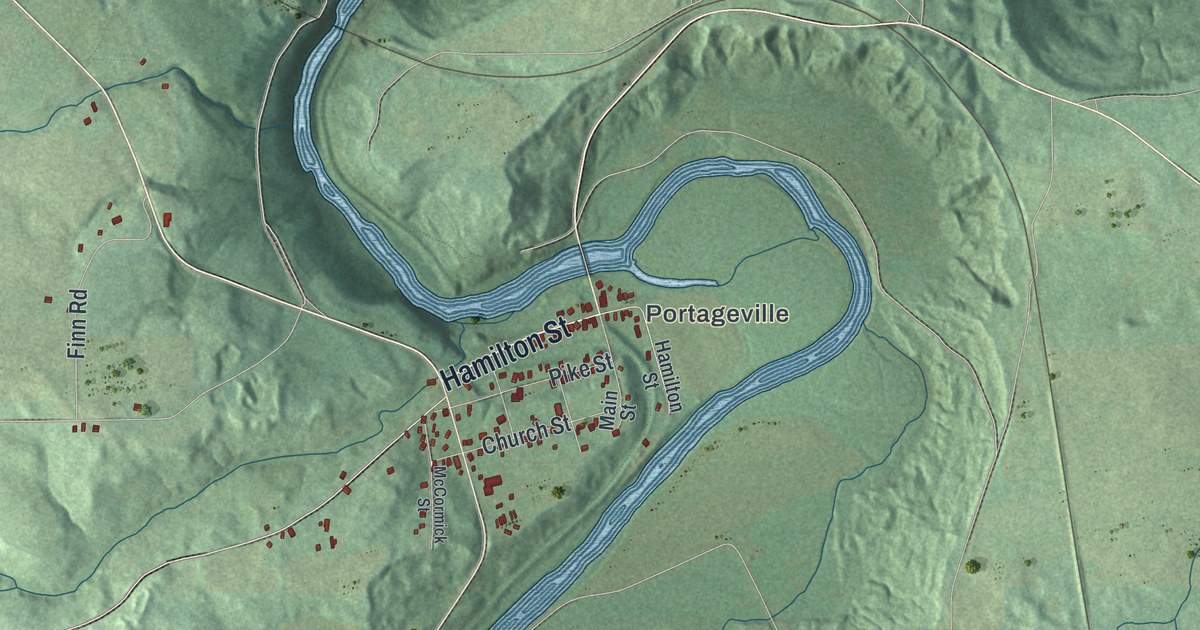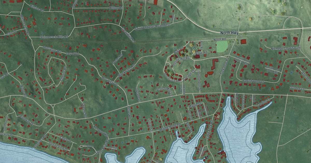
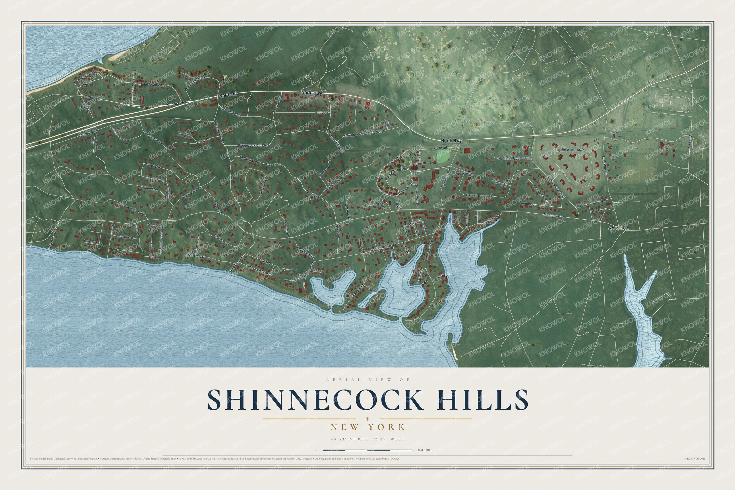
This beautifully detailed map of Shinnecock Hills, New York was created in 2026 using aerial imagery combined with modern topographical, census, street and landmark data. It's a modern aerial view of Shinnecock Hills in Suffolk County, New York, that combines modern data with a vintage aesthetic. The roads feature printed names, and if you look closely you can find your exact house accurately shown in its correct location.
Explore an aerial view of Shinnecock Hills, New York
On this map you'll find Art Village, North Road, North Highway, Peconic Hill Road, Inlet Road, Inlet Road West, Baja Road, Montauk Highway, Magee Street, McGregor Drive, Greenfield Road, Hills Station Road, and more. Each red shape is a building, so zoom in on the preview and look for yours.
Shinnecock Hills is a community in Suffolk County. The Census Bureau counted 2,282 people here in 2020. Shinnecock Hills sits about 3 miles west of Southampton, 4 miles northeast of Hampton Bays and 4 miles southwest of North Sea. The map prints the town name in its title panel, with the coordinates below it.
Take a closer look at the Shinnecock Hills map
Names on this map
These names are printed on this map.
Places: Art Village.
Streets and roads: North Road, North Highway, Peconic Hill Road, Inlet Road, Inlet Road West, Baja Road, Montauk Highway, Magee Street, McGregor Drive, Greenfield Road, Hills Station Road, Magee Drive.
More street names, A to Z
Aberdeen Lane, Aqua Drive, Arbutus Road, Atterbury Road, Bailey Road, Bath Beach Road, Bath House Road, Bathing Beach Road, Bayberry Cove Lane, Bay Road, Blackwatch Court, Boathouse Road, Briar Lane, Canoe Place Road, Cedar Drive, Charla Drive, Cheviot Road, Club Drive, Cold Spring Court, Cottage Court, Cove Road, Dellaria Drive, Depot Road, Dundee Lane, Eastway Drive, Far Pond Road, Federal Circle West, Gegan Drive, Hampton Road, Hawthorne Road, Highland Road, Hillside Road, Hilltop Road, Inlet Road East, Inlet View Drive, Jones Lane, Kenwood Road, Knoll Road, Koral Drive, Landing Lane, Landsdown Lane, Lenape Road, Lillian Lane, Little Neck Road, Longview Road, Maylen Drive, McGregor Road, Middle Pond Lane, Middle Pond Road, New Lane, Nicholas Court South, Oceanview Avenue, Ocean View Drive, Ochre Lane, Old Fort Lane, Osceola Lane, Parrish Pond Court East, Parrish Pond Court West, Parrish Pond Lane, Peconic Crescent, Peconic Road, Peconic View Court, Petrel Road, Phillips Lane, Porter Road, Post Road, Powers Drive, Rebadam Lane, Ridge Road, Saint Andrews Circle, Saint Andrews Road, Saint Andrews Road West, Scotch Mist Lane, Shinnecock Hills Road, Shinnecock Hills Road Extended, Shinnecock Hills Road West, Southampton Drive, South Beach Road, Southway Drive, Studio Lane, Sugar Loaf Road, Sunrise Highway, Swayne Road, Sweet Briar Road, Tuckahoe Lane, Tuckahoe Road, Upland Drive, West Gate Road, Westway Drive.
See it on a wall
The Shinnecock Hills map as a framed print. Swipe for more.


Created by KNOWOL in 2026. The buildings are small red shapes, the roads carry their printed names, and shaded relief shows the shape of the land. The title panel reads "AERIAL VIEW OF SHINNECOCK HILLS, NEW YORK" with 40°53' NORTH 72°27' WEST.
It looks right in a kitchen, an office or a den, and it's a gift for anyone who grew up in Shinnecock Hills or moved away. Open the preview and find your street. See sizes and frames for the Shinnecock Hills map.