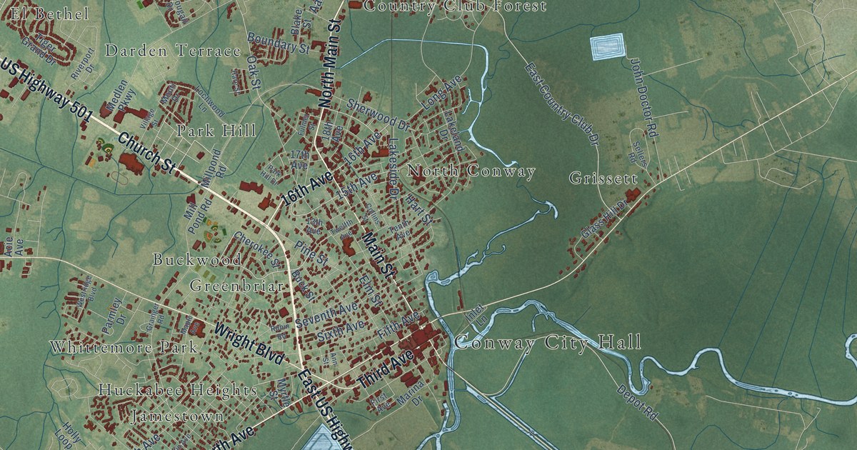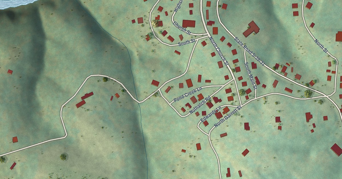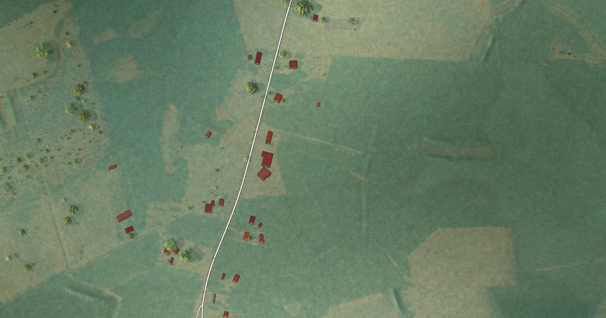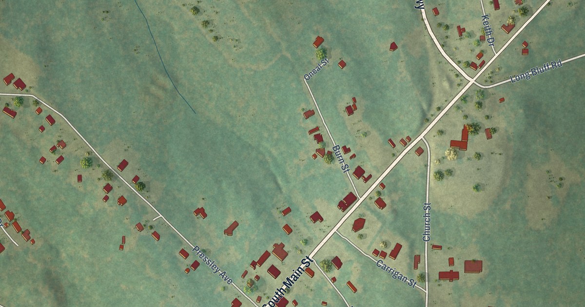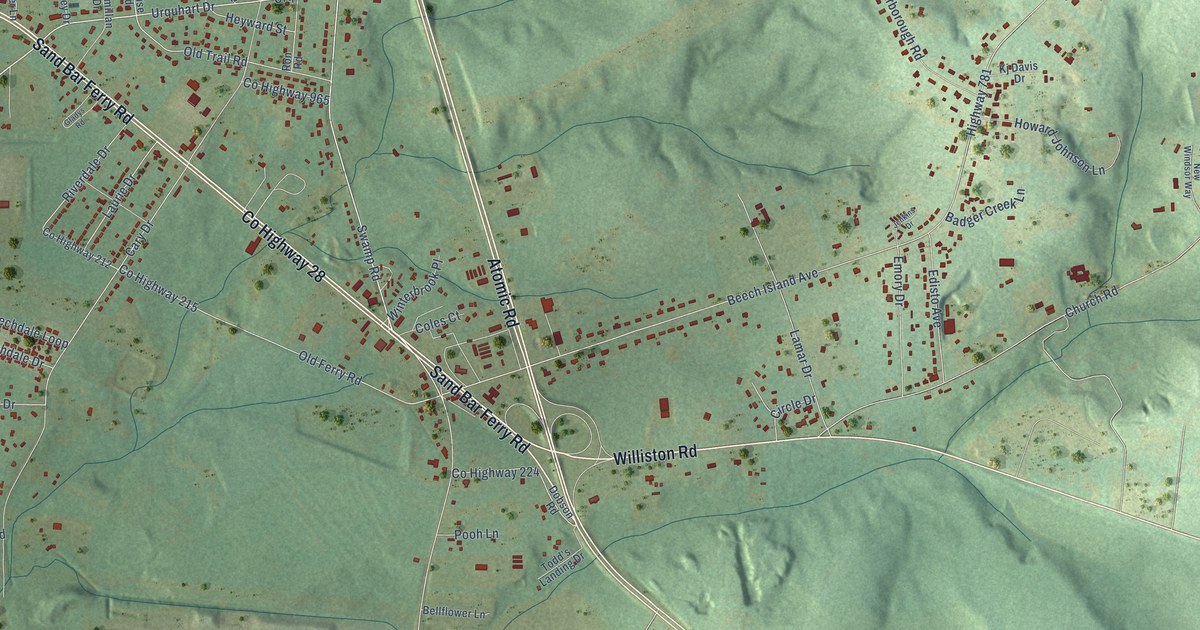
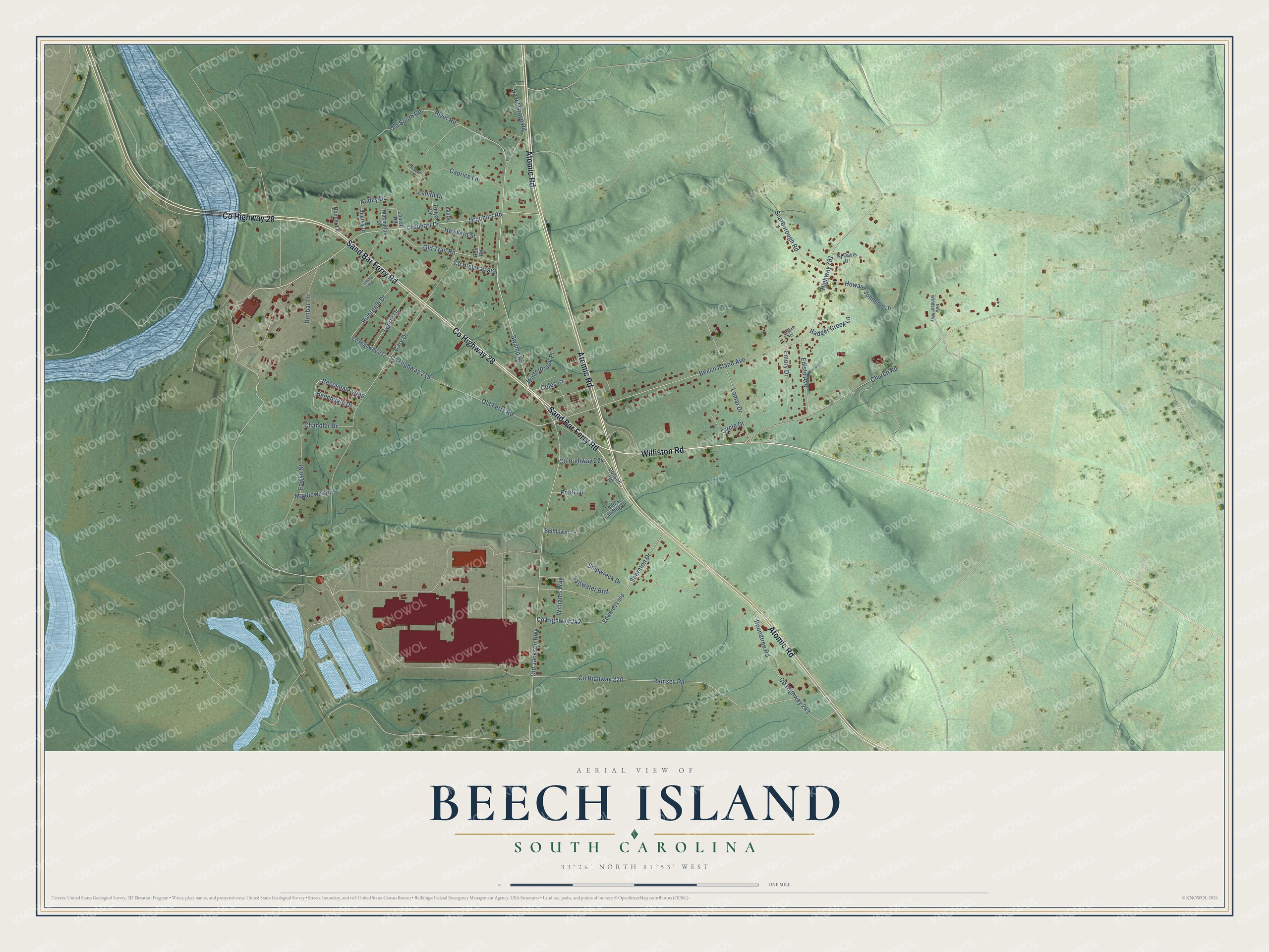
This beautifully detailed map of Beech Island, South Carolina was created in 2026 using aerial imagery combined with modern topographical, census, street and landmark data. It's a modern aerial view of Beech Island in Aiken County, South Carolina, that combines modern data with a vintage aesthetic. The roads feature printed names, and if you look closely you can find your exact house accurately shown in its correct location.
Explore an aerial view of Beech Island, South Carolina
On this map you'll find Williston Road, Co Highway 28, Sand Bar Ferry Road, Atomic Road, Fowke Street, Swamp Road, Urquhart Road, Old Jackson Highway, River Road, Old Trail Road, Beech Island Avenue, Highway 781, and more. Each red shape is a building, so zoom in on the preview and look for yours.
Beech Island is a community in Aiken County. The Census Bureau counted 1,421 people here in 2020. Beech Island sits about 5 miles south of Clearwater, 7 miles south of Burnettown and 7 miles southwest of Langley. The map prints the town name in its title panel, with the coordinates below it.
Take a closer look at the Beech Island map
Names on this map
These names are printed on this map.
Streets and roads: Williston Road, County Highway 28, Sand Bar Ferry Road, Atomic Road, Fowke Street, Swamp Road, Urquhart Road, Old Jackson Highway, River Road, Old Trail Road, Beech Island Avenue, Highway 781.
More street names, A to Z
Audey Drive, Audrey Drive, Badger Creek Lane, Beechdale Drive, Beechdale Loop, Bellflower Lane, Bonner Lane, Caprice Lane, Cary Drive, Chandler Drive, Church Road, Circle Drive, Coles Court, County Highway 212, County Highway 215, County Highway 220, County Highway 224, County Highway 242, County Highway 243, County Highway 965, Dobson Road, Dunbar Lane, Edisto Avenue, Edwards Loop, Emory Drive, Gladys Road, Hazel Grove Road, Heyward Street, Howard Johnson Lane, Jenkins Drive, Kj Davis Drive, Lamar Drive, Laurie, Laurie Drive, Louise Road, Macmillan Drive, Mayflower Road, New Windsor Way, Old Ferry Road, Old South Road, Pinacle Court, Pooh Lane, Ramsey Road, Riverdale Drive, Ron Road, Roundtree Road, Saltwater Bnd, Scarborough Road, Sheraton Drive, Shipwreck Drive, Todd's Landing Drive, Tonya Drive, Urquhart Drive, Williams Way, Winterbrook Place, Zenith Drive.
See it on a wall
The Beech Island map as a framed print. Swipe for more.


Created by KNOWOL in 2026. The buildings are small red shapes, the roads carry their printed names, and shaded relief shows the shape of the land. The title panel reads "AERIAL VIEW OF BEECH ISLAND, SOUTH CAROLINA" with 33°26' NORTH 81°53' WEST.
It suits a den, a classroom or a front hall, and it makes a gift for anyone with Beech Island roots. Open the preview and find the block you know. See sizes and frames for the Beech Island map.