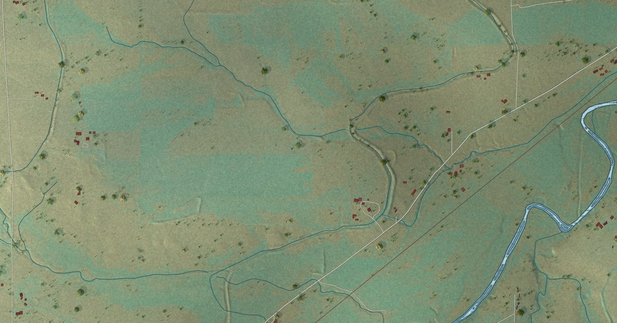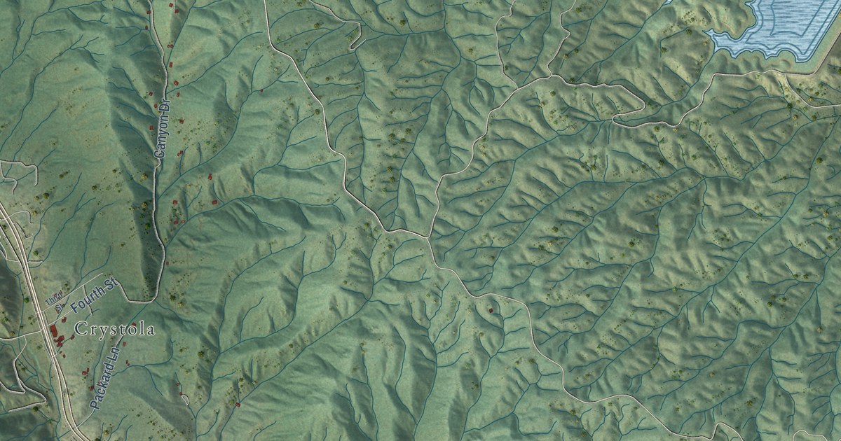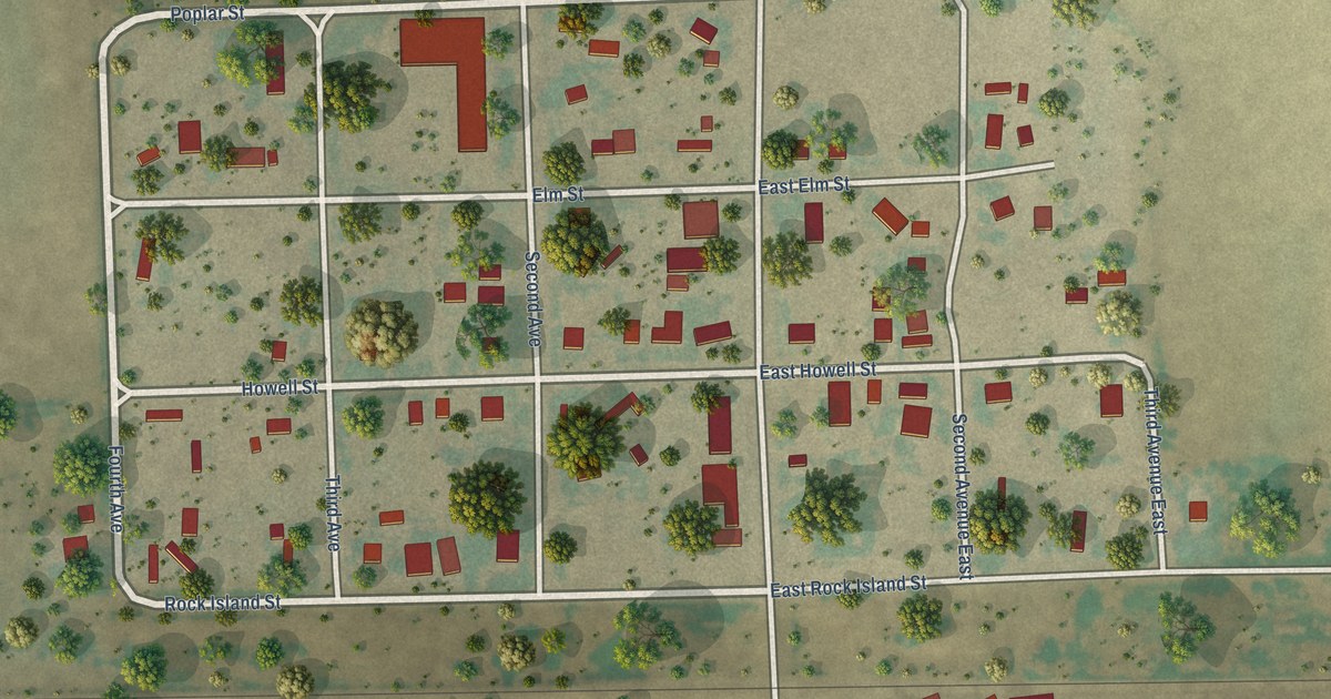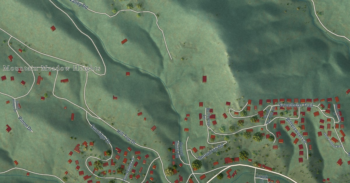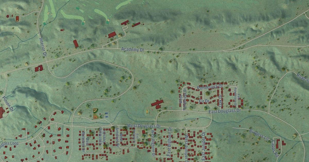
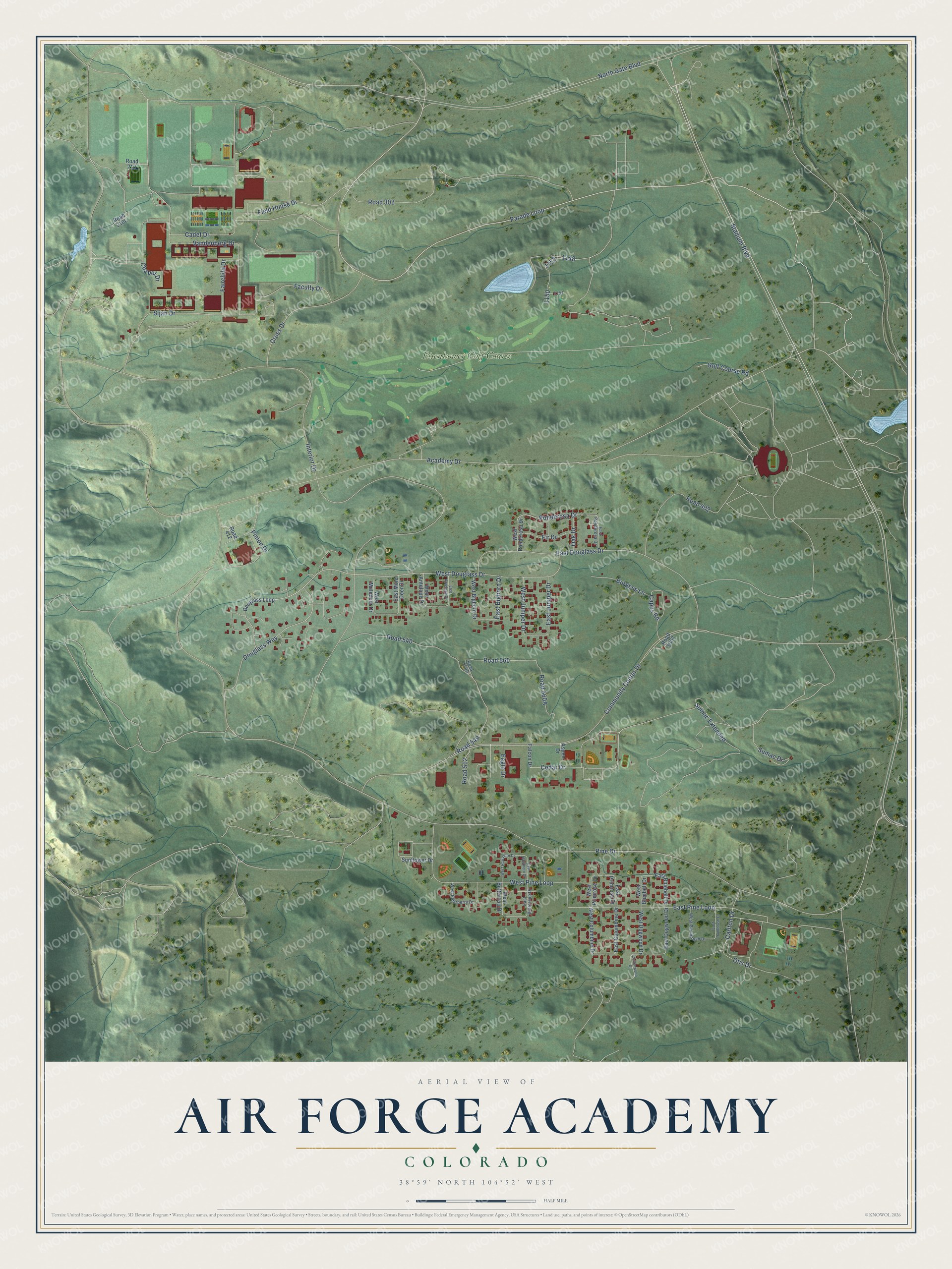
This beautifully detailed map of Air Force Academy, Colorado was created in 2026 using aerial imagery combined with modern topographical, census, street and landmark data. It's a modern aerial view of Air Force Academy in El Paso County, Colorado, that combines modern data with a vintage aesthetic. The roads feature printed names, and if you look closely you can find your exact house accurately shown in its correct location.
Explore an aerial view of Air Force Academy, Colorado
On this map you'll find Eisenhower Golf Course, Parade Loop, Academy Drive, Douglass Way, West Douglass Drive, Pine Drive, Sumac Drive, Pinion Drive, Cedar Drive, Faculty Drive, Interior Drive, Stadium Boulevard, and more. Each red shape is a building, so zoom in on the preview and look for yours.
Air Force Academy has a story worth telling. On June 24, 1954, a site commission chose Colorado Springs for the new Air Force Academy over Alton, Illinois, and Lake Geneva, Wisconsin. The cadet area was built high on what was then called Lehman Mesa, and in August 1958 the Cadet Wing moved to the new campus from its temporary home at Lowry Air Force Base in Denver. The academy’s first class spent its senior year on the new campus and graduated in 1959. In 2004 the cadet area was named a National Historic Landmark. That's from the Colorado Encyclopedia.
Air Force Academy is a community in El Paso County. The Census Bureau counted 6,608 people here in 2020.
Take a closer look at the Air Force Academy map
Names on this map
These names are printed on this map.
Places: Eisenhower Golf Course.
Streets and roads: Parade Loop, Academy Drive, Douglass Way, West Douglass Drive, Pine Drive, Sumac Drive, Pinion Drive, Cedar Drive, Faculty Drive, Interior Drive, Stadium Boulevard, Community Center Drive.
More street names, A to Z
Aspen Drive, Burgess Lane, Cadet Drive, Capps Road, Carlton Drive, Chapel Drive, Cottonwood Drive, Cross Drive, Douglass Loop, Eagle Drive, East Antelope Drive, East Bighorn Drive, East Bluebell Drive, East Buttercup Drive, East Columbine Drive, East Dogwood Drive, East Douglass Drive, East Hawthorn Drive, East Juniper Drive, East Mule Deer Drive, East Paintbrush Drive, East Pine Loop, East Ponderosa Drive, East Primrose Drive, Fairchild Drive, Falcon Drive, Field House Drive, Fir Drive, Golf Course Road, North Gate Boulevard, Oak Drive, Otis Drive, Ponderosa Drive, Road 210, Road 302, Road 402, Road 412, Road 512, Road 540, Road 549, Road 560, Road 5302, Sijan Drive, Sumac Extended, Sunflower Drive, Vandenberg Drive, West Antelope Drive, West Bighorn Drive, West Bluebell Drive, West Buttercup Drive, West Columbine Drive, West Dogwood Drive, West Elderberry Drive, West Hawthorn Drive, West Juniper Drive, West Muledeer Drive, West Paintbrush Drive, West Pine Loop, West Ponderosa Drive, West Primrose Drive.
See it on a wall
The Air Force Academy map as a framed print. Swipe for more.


Created by KNOWOL in 2026. The buildings are small red shapes, the roads carry their printed names, and shaded relief shows the shape of the land. The title panel reads "AERIAL VIEW OF AIR FORCE ACADEMY, COLORADO" with 38°59' NORTH 104°52' WEST.
It looks right in a kitchen, an office or a den, and it's a gift for anyone who grew up in Air Force Academy or moved away. Open the preview and find your street. See sizes and frames for the Air Force Academy map.