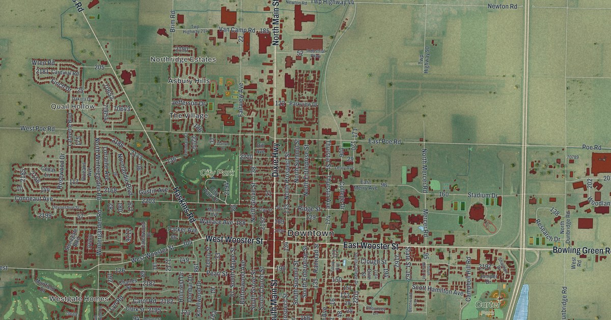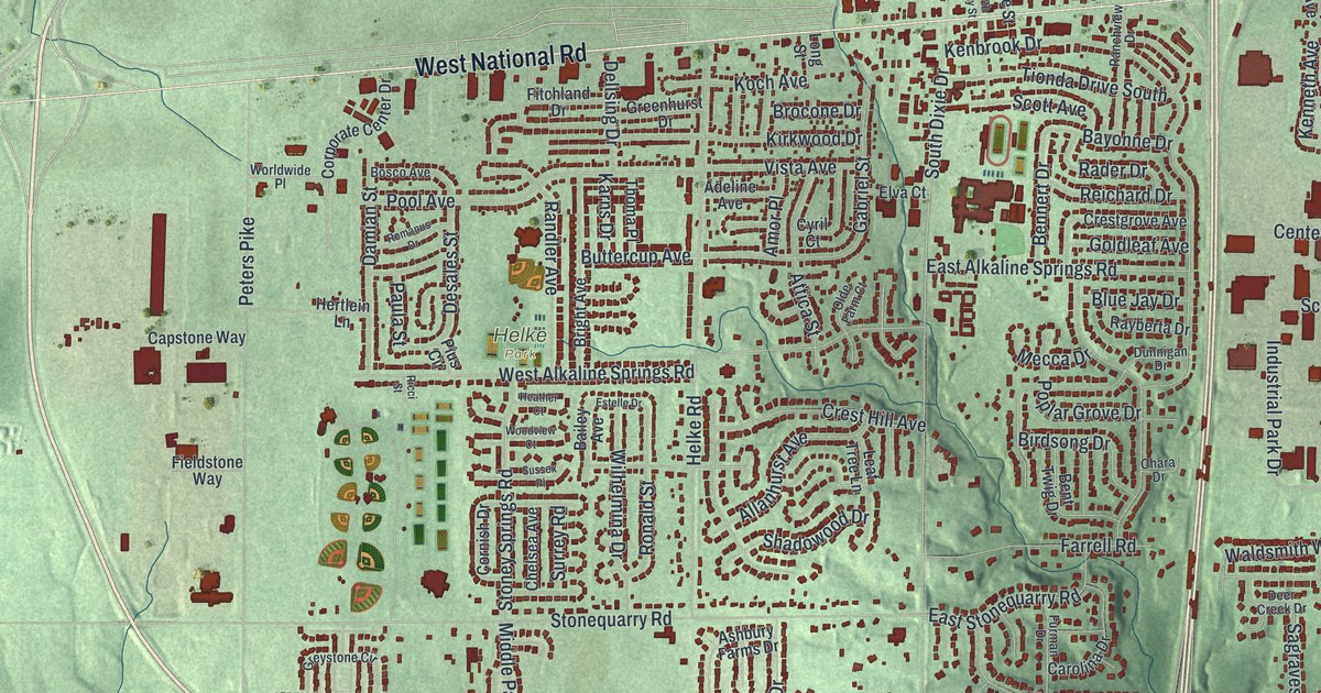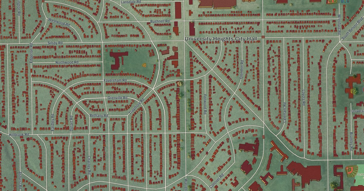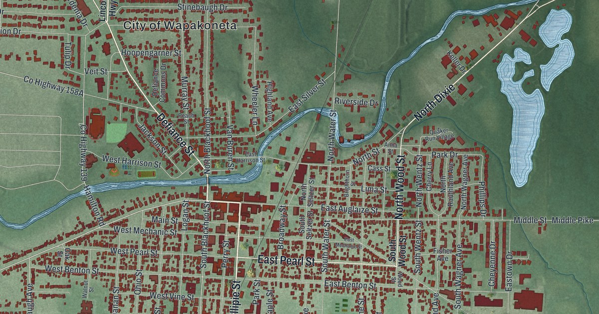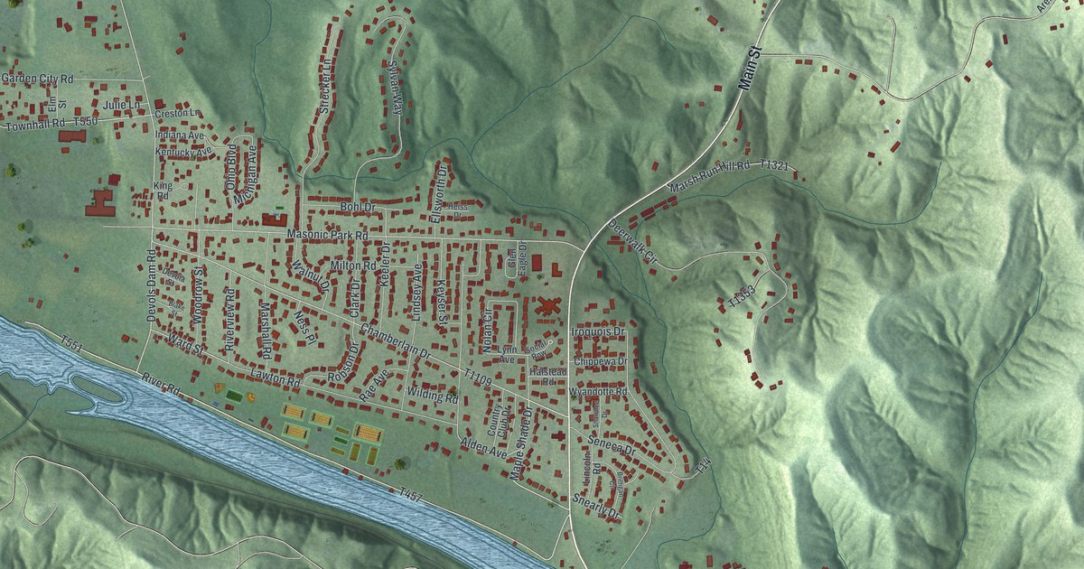
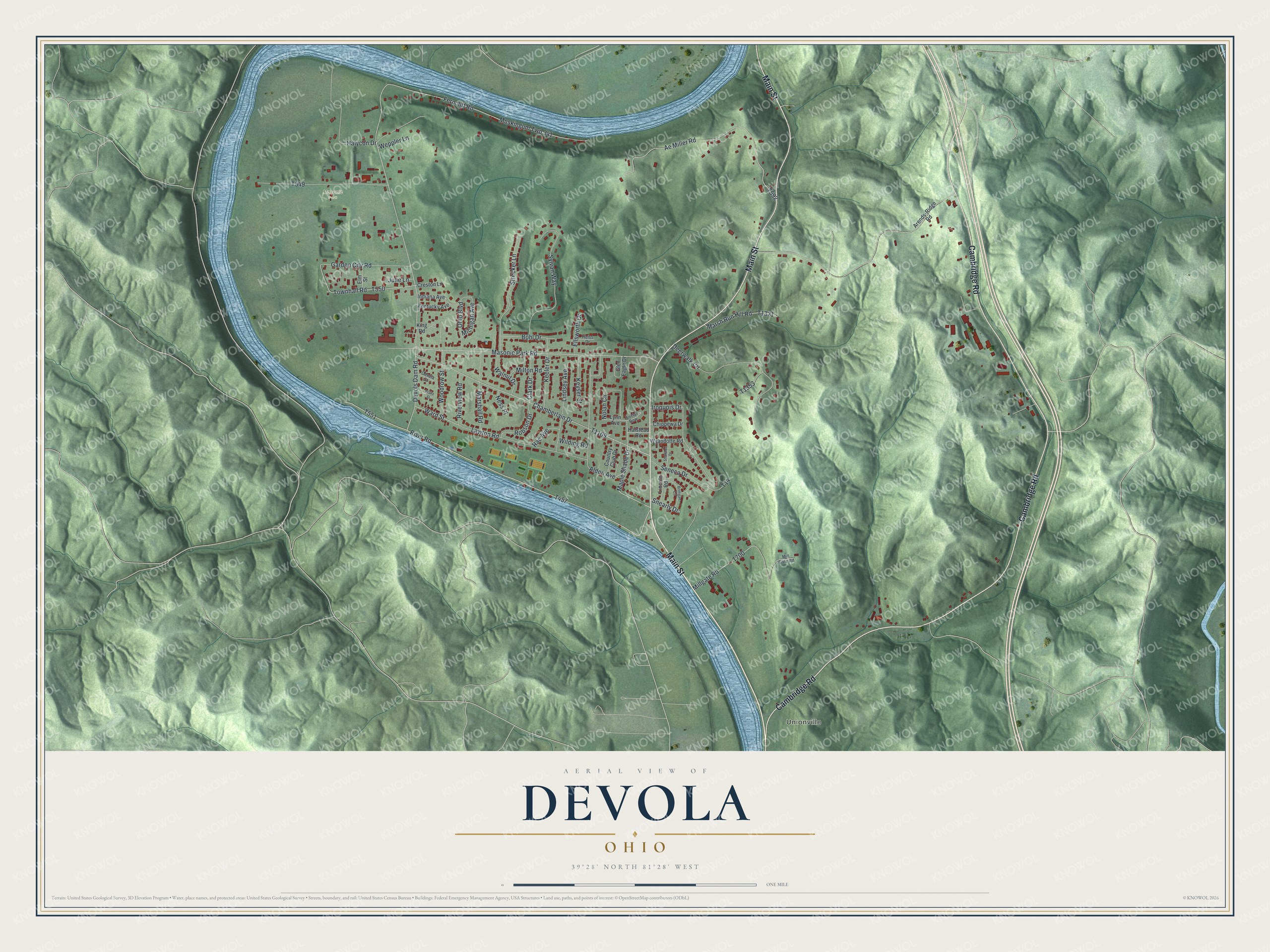
This beautifully detailed map of Devola, Ohio was created in 2026 using aerial imagery combined with modern topographical, census, street and landmark data. It’s a one-of-a-kind view of Devola that combines accurate data with a vintage aesthetic. The map shows every building in its true location, many of the roads carry their names, and the shaded topographic relief shows the shape of the land.
Explore an aerial view of Devola, Ohio
On the map you’ll find Unionville and Masonic Park, along with Main Street, Cambridge Road, Maple Shade Drive, Devols Dam Road, Ward Street, Townhall Road, Masonic Park Road, and more. Devola sits about 4 miles north of Marietta, 4 miles southeast of Lowell and 8 miles southwest of Lower Salem. If you look closely you can even find your house accurately drawn in its correct location. Zoom in on the preview to look for yours.
Did You Know?
At Devol's dam on the Muskingum, Captain Jonathan Devol built a very large flour mill in 1807. Its undershot wheel was said to be more than forty feet across, the largest mill wheel ever seen in the West. Before that, he ran a floating mill built on two boats, kept at the spot where he later built the dam. People came by water from as far as fifty miles around. That's from the 1881 History of Washington County.
Take a closer look at the Devola map
Names on this map
These names are printed on this map.
Places: Unionville and Masonic Park.
Streets and roads: Main Street, Cambridge Road, Maple Shade Drive, Devols Dam Road, Ward Street, Townhall Road, Masonic Park Road, Ferncliff Road, Chamberlain Drive, Muskingum Twp 341, Ae Miller Road, Deerwalk Circle.
More street names, A to Z
Alden Avenue, Arends-Ridge Road, Blake Street, Bohl Drive, Brittigan Circle, Chippewa Drive, Clark Drive, Country Club Drive, Creston Lane, Devola Street, Ellsworth Drive, Elm Street, Garden City Road, Glen Eagle Drive, Halstead Road, Halycon Drive, Heiss Drive, Indiana Avenue, Iroquois Drive, Julie Lane, Keeler Drive, Kentucky Avenue, Keyser Street, King Road, Lawton Road, Lincoln Road, Lindsey Avenue, Lynn Avenue, Marshall Road, Marsh Run Hill Road, Michigan Avenue, Millgate Road, Mill Gate Road, Milton Road, Ness Place, Nolan Circle, Ohio Boulevard, Rae Avenue, River Road, Riverview Road, Robson Drive, Seneca Drive, Shawnee Drive, Snearly Drive, Social Row, Strecker Lane, Sylvan Way, T14, Walnut Drive, Weppler Lane, Wilding Road, Woodrow Street, Wyandotte Road.
See it on a wall
The Devola map as a framed print. Swipe for more.


This beautifully detailed map of Devola makes an attractive addition to your office, library, or den, and it can even be used to teach children the geography and history of the area. It also makes a great gift for someone who left Devola and still calls it home. When you’re done exploring, click here to get your copy of the Devola map.