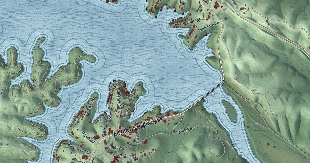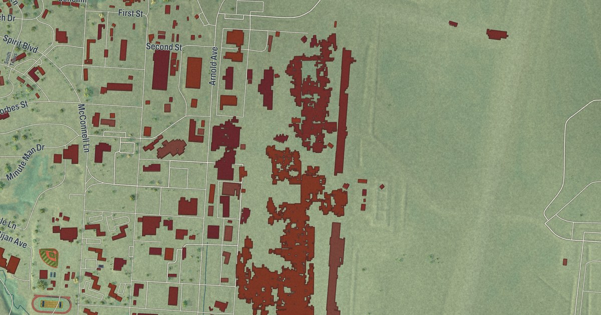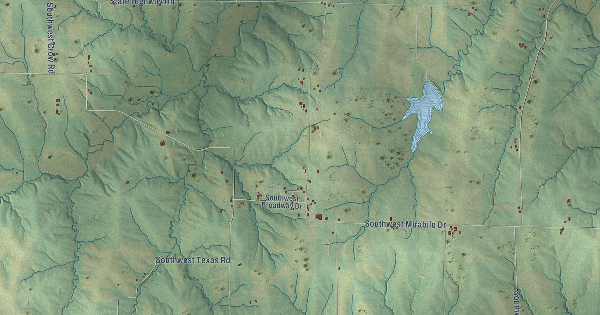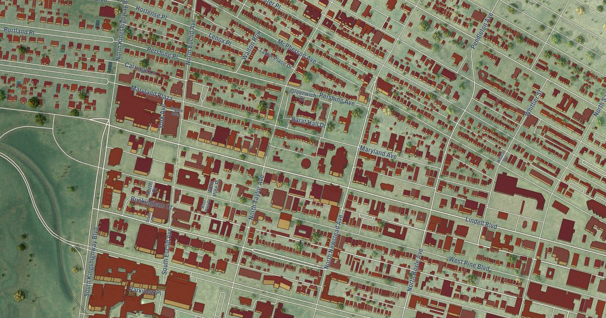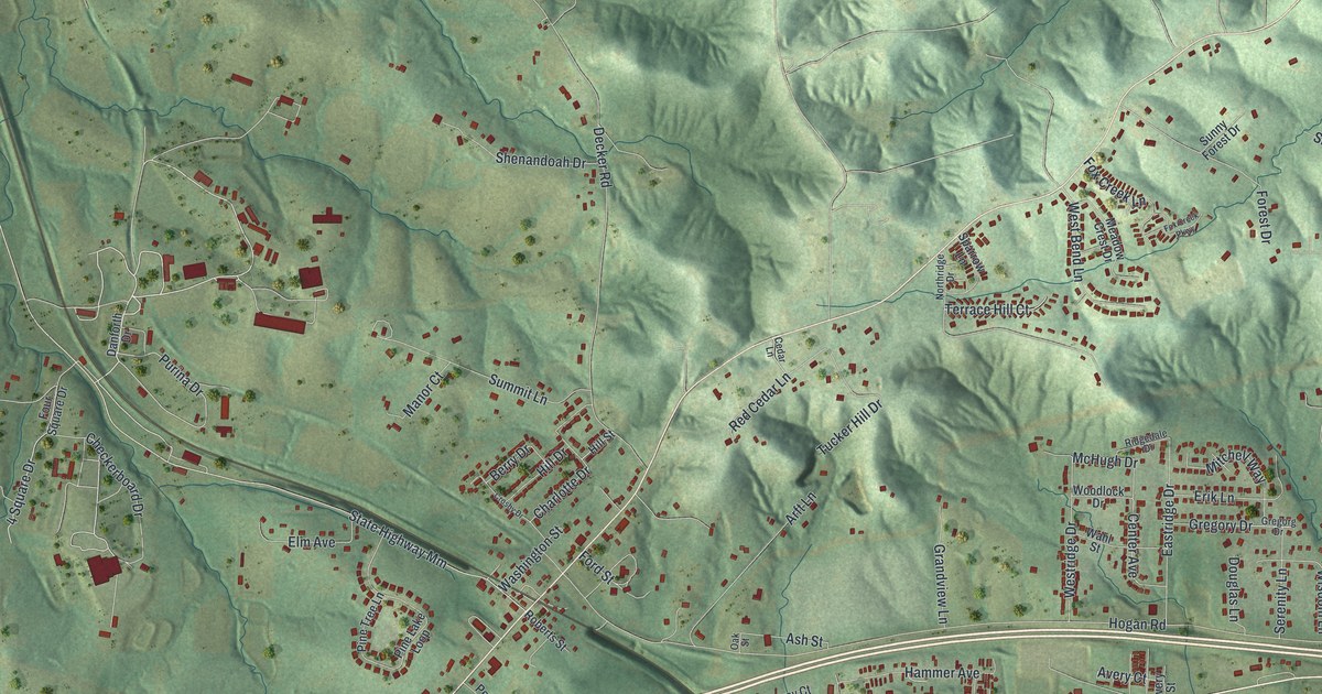
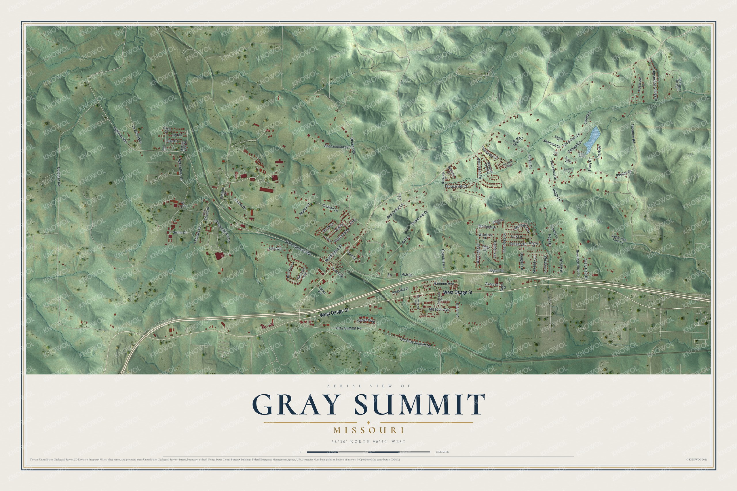
This beautifully detailed map of Gray Summit, Missouri was created in 2026 using aerial imagery combined with modern topographical, census, street and landmark data. It’s a one-of-a-kind view of Gray Summit that combines accurate data with a vintage aesthetic. The map shows every building in its true location, many of the roads carry their names, and the shaded topographic relief shows the shape of the land.
Explore an aerial view of Gray Summit, Missouri
On the map you’ll find West Osage Street, Purina Drive, Berry Drive, Ash Street, Hogan Road, Highway Mm, State Highway Mm, Coleman Road, Decker Road, Gray Summit Road, Old Gray Summit Road, Thornton Road, and more. Gray Summit sits about 4 miles northeast of Villa Ridge, 4 miles west of Pacific and 6 miles southeast of Augusta. If you look closely you can even find your house accurately drawn in its correct location. Zoom in on the preview to look for yours.
Did You Know?
Gray Summit was named for Daniel Gray, who settled here and began keeping a hotel in 1845. The word summit was added because this was the highest point on the Missouri Pacific Railroad between St. Louis and Jefferson City. The post office here dated to 1824, first as Point Labaddie and then as Port William. It took the name Gray's Summit in 1859, the year after a new town was platted on land given by E. P. Gray and others. That's from the State Historical Society of Missouri.
Take a closer look at the Gray Summit map
Names on this map
These names are printed on this map.
Streets and roads: West Osage Street, Purina Drive, Berry Drive, Ash Street, Hogan Road, Highway Mm, State Highway Mm, Coleman Road, Decker Road, Gray Summit Road, Old Gray Summit Road, Thornton Road.
More street names, A to Z
4 Square Drive, Agriculture Drive, Arft Lane, Avery Court, Avery Dale Drive, Avery Drive, Avery Street, Beauty View Drive, Beef Drive, Beverly Drive, Bourbeuse Avenue, Brookview Lane, Carlotta Court, Carlye Way, Cedar Lane, Center Avenue, Charlotte Drive, Checkerboard Drive, Country Lane, Crosby Drive, Cynthia Boulevard, Danforth Drive, Deborah Court, Deborah Drive, Douglas Lane, Eastridge Drive, Elm Avenue, Erik Lane, Ford Street, Forest Drive, Four Square Drive, Fox Creek Lane, Fox Creek Parkway, Grandview Lane, Gregorg Drive, Gregory Drive, Hammer Avenue, Hill Drive, Hill Street, Horseshoe Valley Drive, Jean Avenue, Kingsway Court, Lake Drive, Las Brisas Lane, La Zear Way, Manor Court, Maple Drive, McHugh Drive, Meadow Crest Drive, Missouri Avenue, Mitchell Way, Nabor Lane, New Beginnings Drive, Northridge Drive, Oak Drive, Oak Street, Park Drive, Pettus Avenue, Pine Lake Loop, Pine Tree Lane, Puetz Lane, Red Cedar Lane, Ridgedale Drive, Ridge Lane, Roberts Street, Ropa Drive, Santa Maria Drive, Serenity Lane, Shannon Court, Shenandoah Drive, Skyline Drive, South Hardeman Avenue, Sparrow Lane, Spring Valley Road, Summit Lane, Sunny Forest Drive, Susan Place, Swine Drive, Terrace Hill Court, Tracy Drive, Tucker Hill Drive, Valley View Farm Lane, Wahl Street, Washington Street, West Bend Lane, Westridge Drive, Wisdom Lane, Woodlock Drive.
See it on a wall
The Gray Summit map as a framed print. Swipe for more.


This beautifully detailed map of Gray Summit makes an attractive addition to your office, library, or den, and it can even be used to teach children the geography and history of the area. It also makes a great gift for anyone with Gray Summit roots. When you’re done exploring, click here to get your copy of the Gray Summit map.