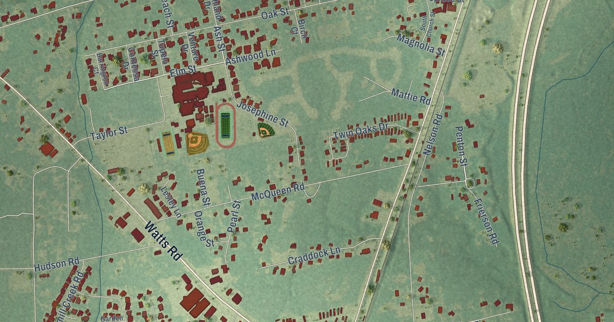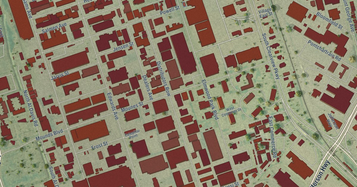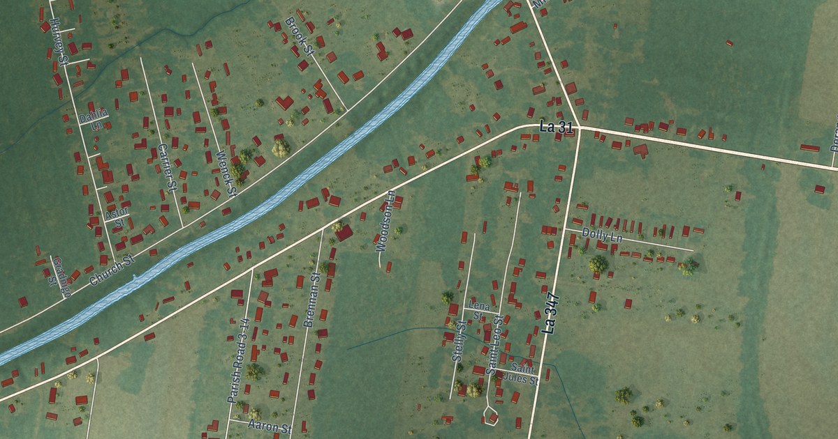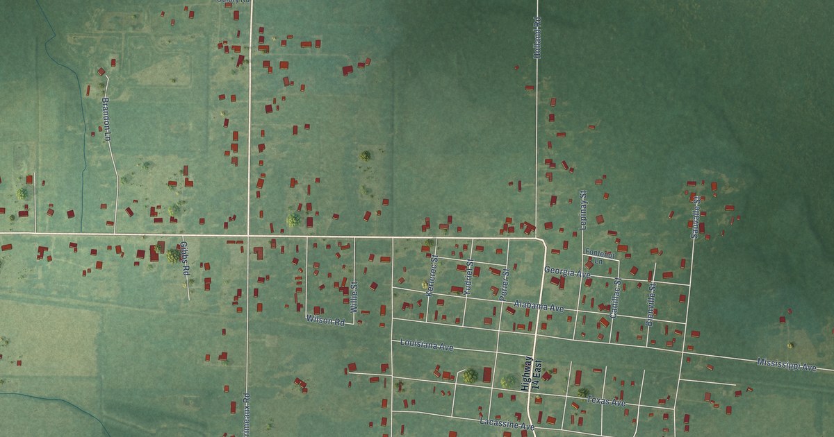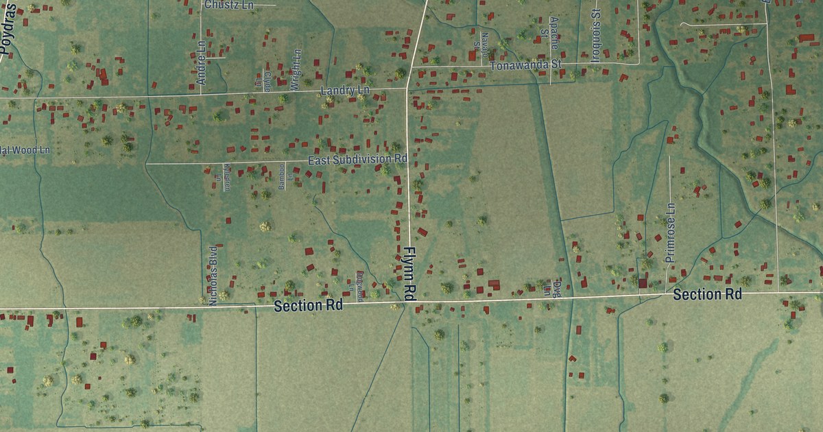
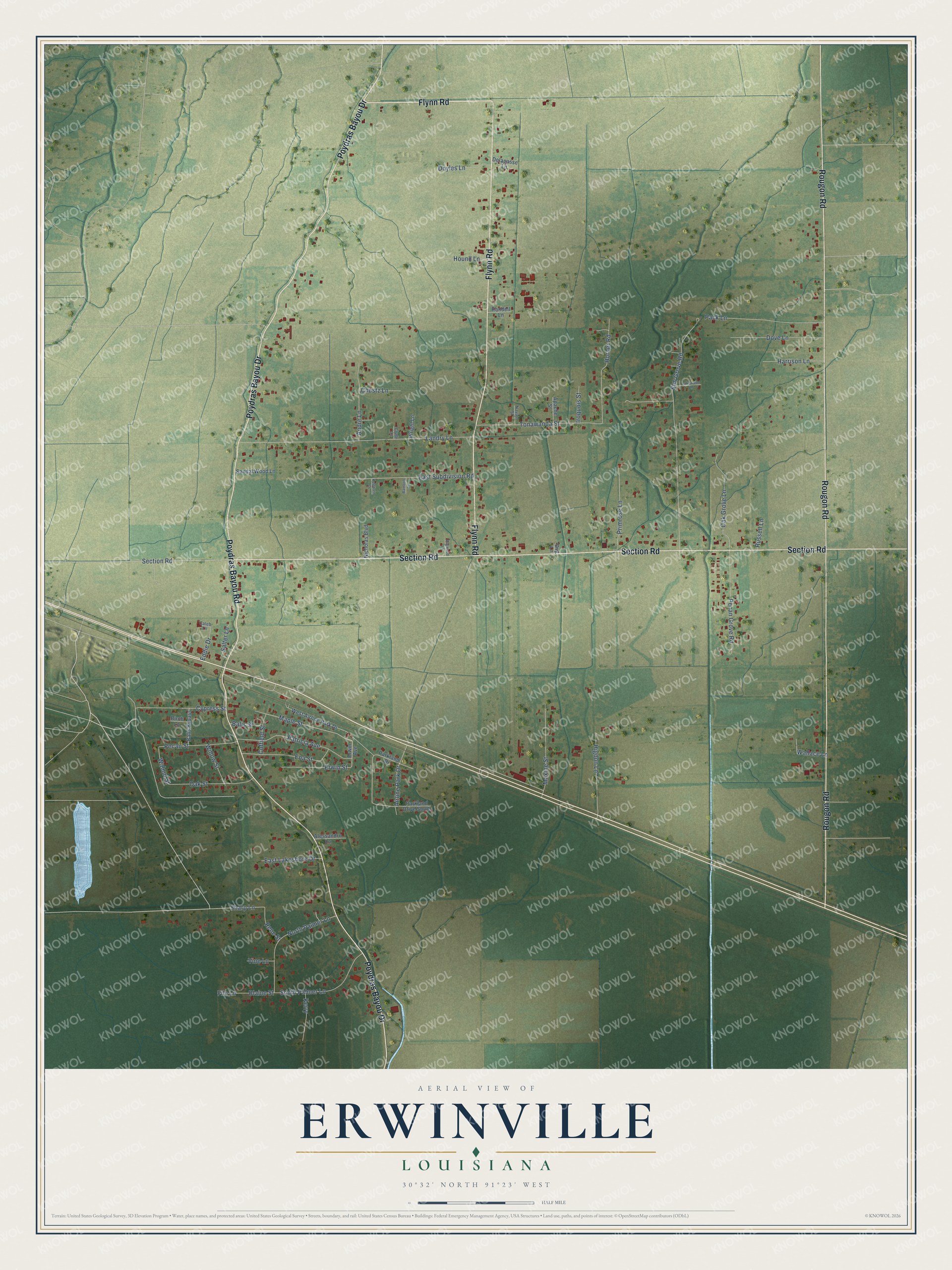
This beautifully detailed map of Erwinville, Louisiana was created in 2026 using aerial imagery combined with modern topographical, census, street and landmark data. It's a modern aerial view of Erwinville in West Baton Rouge Parish, Louisiana, that combines modern data with a vintage aesthetic. The roads feature printed names, and if you look closely you can find your exact house accurately shown in its correct location.
Explore an aerial view of Erwinville, Louisiana
On this map you'll find Flynn Road, Poydras Bayou Drive, Poydras Bayou Road, Rougon Road, Section Road, Maple Street, Erwin Street, Sharp Lane, Walnut Street, Landry Lane, Elm Grove Road, East Subdivision Road, and more. Each red shape is a building, so zoom in on the preview and look for yours.
Erwinville is a community in West Baton Rouge Parish. The Census Bureau counted 2,275 people here in 2020. Erwinville sits about 8 miles northeast of Rosedale, 8 miles northeast of Maringouin and 9 miles north of Grosse Tete. The map prints the town name in its title panel, with the coordinates below it.
Take a closer look at the Erwinville map
Names on this map
These names are printed on this map.
Streets and roads: Flynn Road, Poydras Bayou Drive, Poydras Bayou Road, Rougon Road, Section Road, Maple Street, Erwin Street, Sharp Lane, Walnut Street, Landry Lane, Elm Grove Road, East Subdivision Road.
More street names, A to Z
Airline Park Drive, Alessandro Lane, Andre Lane, Apache Street, Balis Bypass, Balis Street, Bamboo Lane, Birch Lane, Blaine Street, Caleb Lane, Chustz Lane, Clyde Lane, Coffield Street, Cypress Street, Delapasse Lane, Dogwood Lane, Dove Lane, Doyles Lane, Dvg Lane, East Lakeshore Drive, Eddie Drive, Ena Street, Erwin Avenue, Filo Lane, Harrison Lane, Higdon Lane, Horner Road, Hound Lane, Iroquois Street, Kerry, Kyledren Lane, Lakewood Lane, Maxine Street, Navajo Street, Nicholas Boulevard, North Palmer Lane, Oak Grove Lane, Oak Street, Pack Lane, Parkland Drive, Parkland Drive South, Patricia Avenue, Pecan Grove Road, Pecan Street, Primrose Lane, Randell Lane, Rene Street, Russell Lane, Salter Lane, Sandal Wood Lane, South Palmer Lane, Tonawanda Street, Vine Lane, Wallace Lane, West Airline Park Drive, Willow Street, Wright Lane.
See it on a wall
The Erwinville map as a framed print. Swipe for more.


Created by KNOWOL in 2026. The buildings are small red shapes, the roads carry their printed names, and shaded relief shows the shape of the land. The title panel reads "AERIAL VIEW OF ERWINVILLE, LOUISIANA" with 30°32' NORTH 91°23' WEST.
Hang it in the hallway, the office or the cabin, or give it to someone who left Erwinville and still calls it home. Open the preview and look for a street you know. See sizes and frames for the Erwinville map.